The best cycling routes around São Gião
4.5
(4)
22
riders
4
rides
Touring cycling routes around São Gião are situated in a region characterized by varied terrain, including river valleys and the foothills of the Serra da Estrela mountain range. The landscape features rolling hills and elevated sections, providing opportunities for significant climbs and descents. This area offers a mix of natural environments and historical points of interest, suitable for cyclists seeking challenging routes. The routes often traverse rural roads and offer views of the surrounding countryside.
Best touring cycling routes around…
Last updated: October 11, 2026
11
riders
114km
08:52
3,140m
3,130m
Hard bike ride. Very good fitness required. Mostly paved surfaces. Suitable for all skill levels.
5.0
(3)
5
riders
30.8km
02:12
650m
650m
Hard bike ride. Very good fitness required. Mostly paved surfaces. Suitable for all skill levels.

5
riders
Hard bike ride. Very good fitness required. Mostly paved surfaces. Suitable for all skill levels.
4.0
(1)
1
riders
Hard bike ride. Very good fitness required. Mostly paved surfaces. Suitable for all skill levels.
Our route recommendations are based on thousands of hikes, rides, and runs completed by other people on komoot.
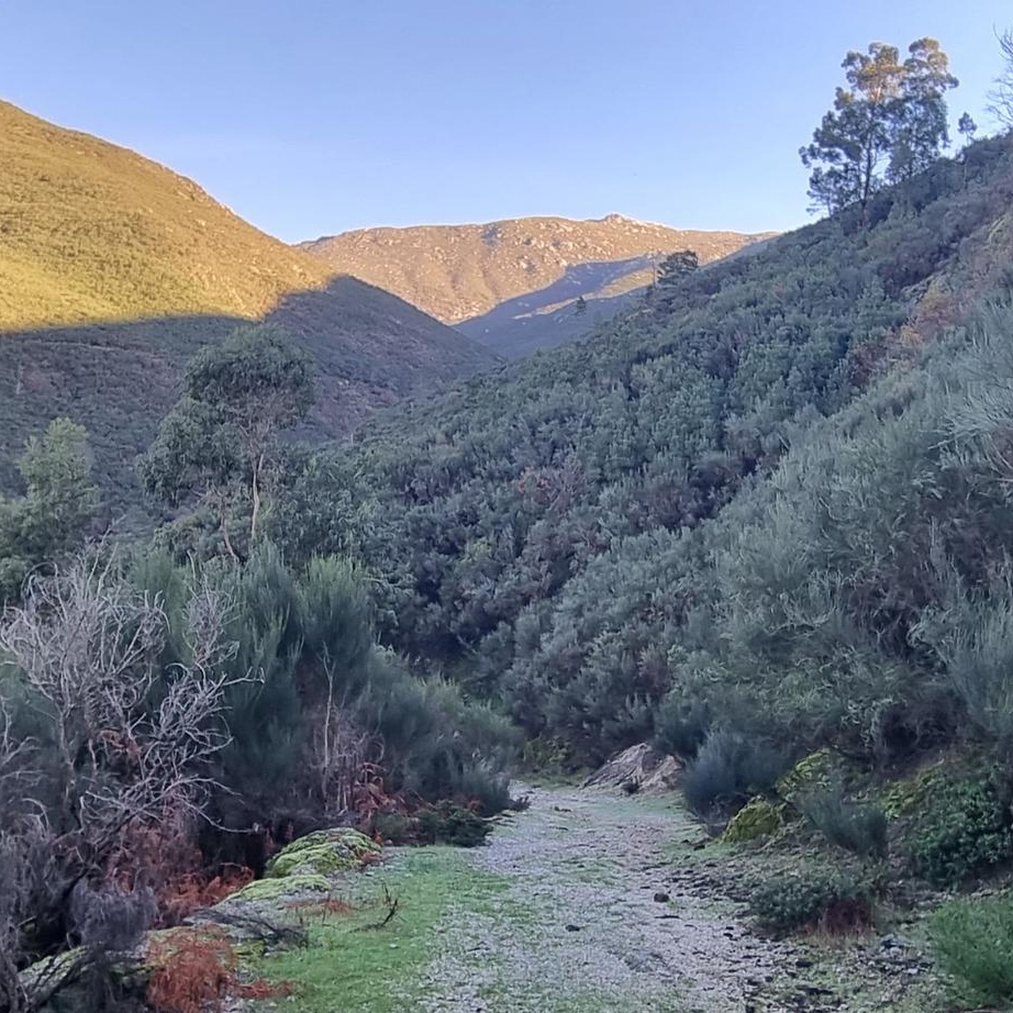
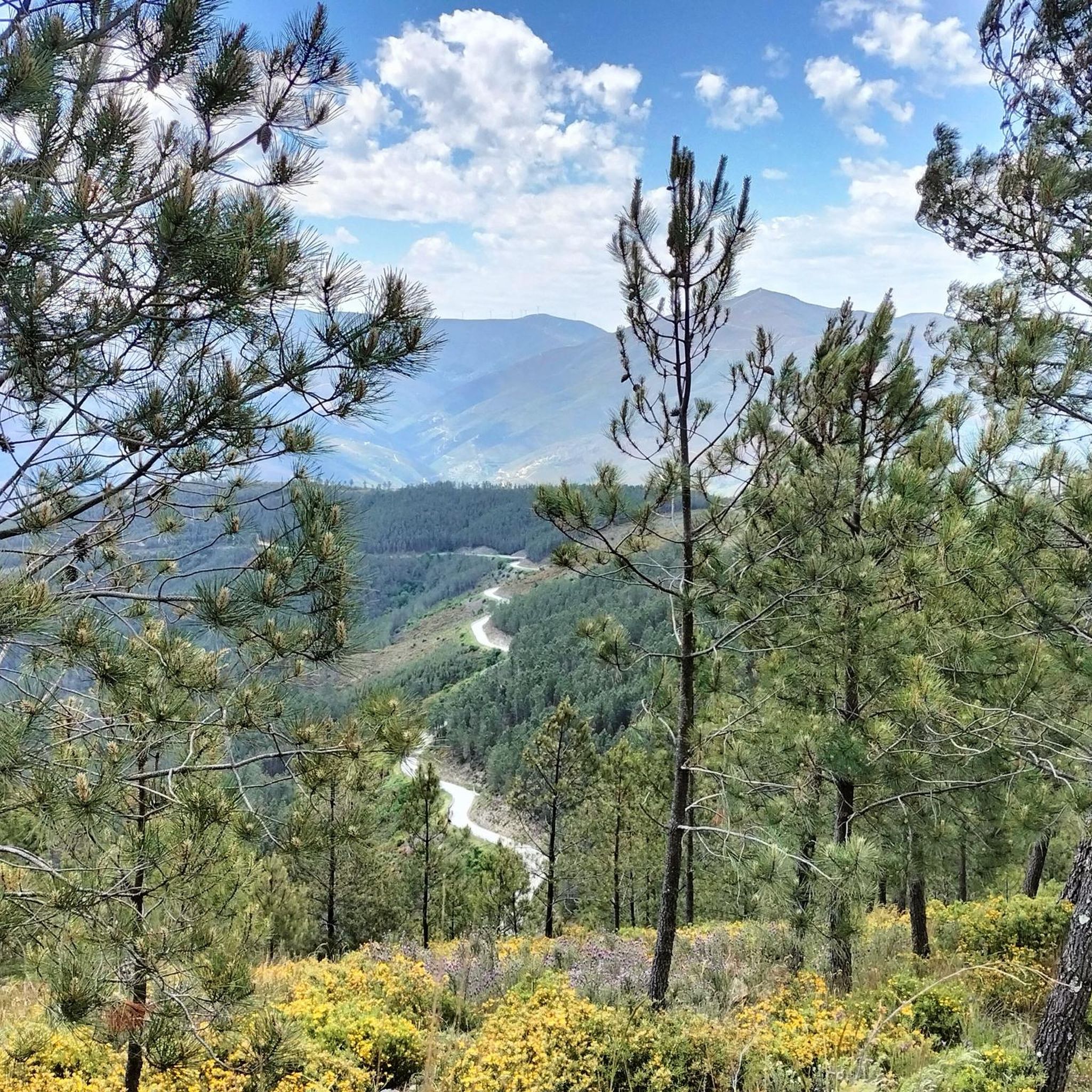
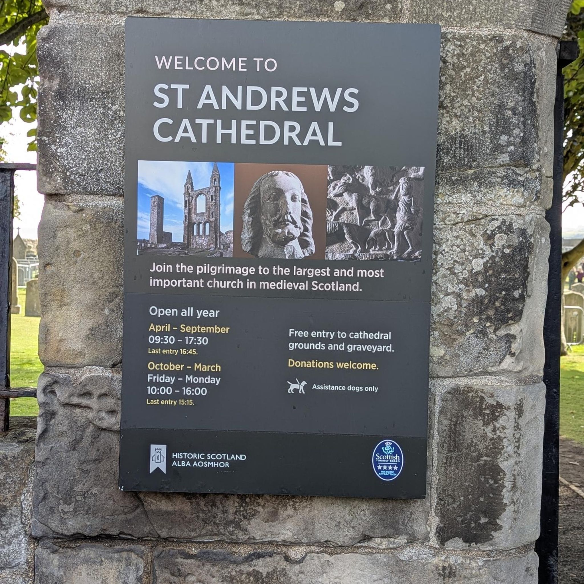
Tips from the Community

Centrally located in the park and easily accessible via a beautiful, paved road is the Torre. This is the highest point of the Serra da Estrela mountain range; nowhere in continental Portugal can you go higher. Actually, the highest point is at 1,993 meters. A small tower of 7 meters on top of the mountain completes the 2,000 meters.
7
0

The Serra da Estrela Natural Park is something truly special. This 1,000-square-kilometer park, spread across six municipalities, was the first and currently the largest protected natural park in Portugal. It is home to the highest point on the Portuguese mainland, the country's only ski slope, the source of two important rivers, and a fascinating, alpine-like landscape formed by glaciers.
5
1

At exactly 1993 meters above sea level, Torre is the highest point in mainland Portugal, where the only ski resort is located. The landscape on the upper plateau of the Serra da Estrela is like a sprinkling of granite rocks over low scrub and patches of snow and ice, which the sun threatens to melt soon in the summer and which always returns the following winter. In winter, it sometimes becomes inaccessible.
6
0

Beautiful panoramic views from the highest point in Portugal. You can ski here in winter, and there is sometimes snow even in summer.
4
0
We were lucky with the weather, bright sunshine. There was still a lot of snow in May, children were able to borrow a bobsleigh and play in the snow. At a cool 8°C!!
10
3

Place with incredible views, several slopes
1
0

Very beautiful lakes in the rocks
1
0
1993 m. A very beautiful place.
2
0
Frequently Asked Questions
How challenging are the touring cycling routes in São Gião?
The touring cycling routes in São Gião are generally considered difficult, featuring significant elevation gains and varied terrain. They are best suited for experienced touring cyclists looking for a challenge. For example, the Casa das Obras Fountain – Serra da Estrela loop from Seia covers 114.3 km with over 3,100 meters of ascent.
Are there any family-friendly or beginner touring cycling routes in São Gião?
The touring cycling routes around São Gião are primarily designed for advanced cyclists due to their difficult nature and substantial elevation changes. There are no routes specifically categorized as easy or moderate for beginners or families with young children in this selection.
What kind of terrain can I expect on the touring cycling routes in São Gião?
You can expect varied terrain, including river valleys and the foothills of the Serra da Estrela mountain range. The landscape features rolling hills and elevated sections, providing opportunities for significant climbs and descents, often on rural roads.
Are there any circular touring cycling routes available in São Gião?
Yes, all the touring cycling routes highlighted in the São Gião area are circular loops. This allows you to start and finish your ride at the same point, such as the Picnic Area by the River loop from Meruge or the Anta do Pinheiro dos Abraços – Anfiteatro Romano de Bobadela loop from Oliveira do Hospital.
What historical sites or landmarks can I see along the touring cycling routes?
The routes often traverse areas rich in history. For instance, the Palheiras de Fiais da Beira – Cinciana Eternity Dolmen loop from Oliveira do Hospital includes historical dolmens. You might also encounter sites like the Aqueduct of the Caniça Route or the Historical Village of Piódão, which are nearby attractions.
Are there any natural attractions or viewpoints along the touring cycling routes?
Yes, the region offers natural beauty and viewpoints. You might find river beaches like Lapa dos Dinheiros River Beach or Foz d'Égua, and natural monuments such as Cornos do Diabo. Waterfalls like Poço da Broca de Serapitel and the Waterfall and natural swimming pool in Parque Natural da Serra da Estrela are also in the vicinity.
When is the best time of year for touring cycling in São Gião?
The region's varied terrain and proximity to the Serra da Estrela suggest that spring and autumn offer the most pleasant conditions for touring cycling. Temperatures are generally milder, and the natural scenery is vibrant. Summers can be hot, especially on climbs, and winters may bring colder temperatures and potential for adverse weather in higher elevations.
What do other touring cyclists enjoy most about São Gião?
The touring cycling routes in São Gião are highly rated by the komoot community, with an average score of 4.5 stars. Cyclists often praise the challenging climbs, the scenic river valleys, and the opportunity to explore historical landmarks while enjoying the rural landscape.
Is parking available near the starting points of the touring cycling routes?
While specific parking information for each route start is not detailed, routes often begin from towns like Seia or Oliveira do Hospital. These towns typically offer public parking facilities, which can serve as convenient starting points for your touring cycling adventure.
Can I reach the touring cycling routes in São Gião by public transport?
São Gião and surrounding towns like Seia and Oliveira do Hospital are generally accessible by regional bus services. However, direct public transport links to the exact starting points of all routes may vary. It's advisable to check local bus schedules and routes in advance if you plan to use public transport.
What should I consider regarding gear and preparation for touring cycling in São Gião?
Given the difficult nature of the routes and significant elevation changes, it's essential to be well-prepared. Bring appropriate touring cycling gear, including suitable clothing for varying weather conditions, sufficient water and snacks, and a repair kit. A reliable GPS device or a downloaded komoot tour is highly recommended for navigation.
Most popular routes around São Gião
Most popular attractions around São Gião

Get inspired with the komoot mobile app


Explore more
Browse the best Cycling routes in other regions.
