The best walks and hikes around Garlstorf
4.6
(10100)
34,461
hikers
16
hikes
Hiking around Garlstorf offers diverse landscapes on the eastern edge of the Lüneburg Heath, approximately 30 kilometers south of Hamburg. The region is characterized by extensive heathlands, dense forests, and rolling hills, with rivers like the Luhe adding to the scenic variety. It is part of the Lüneburg Heath Nature Park and the Garlstorfer Wald landscape protection area, providing varied terrain for outdoor activities.
Best hiking trails around Garlstorf
- The most popular hiking route is Garlstorf Windmill – View over…
Last updated: October 7, 2026
4.3
(4)
18
hikers
6.47km
01:42
50m
50m
Easy hike. Great for any fitness level. Easily-accessible paths. Suitable for all skill levels.
5
hikers
Easy hike. Great for any fitness level. Easily-accessible paths. Suitable for all skill levels.

4.5
(4)
9
hikers
Moderate hike. Good fitness required. Easily-accessible paths. Suitable for all skill levels.
5.0
(1)
4
hikers
Moderate hike. Good fitness required. Easily-accessible paths. Suitable for all skill levels.
3.0
(1)
4
hikers
18.9km
05:00
170m
170m
Moderate hike. Good fitness required. Easily-accessible paths. Suitable for all skill levels.
Get access to more routes and recommendations from other explorers.
Already have an account?
Our route recommendations are based on thousands of hikes, rides, and runs completed by other people on komoot.
Start today with a free account
Your next adventure awaits.
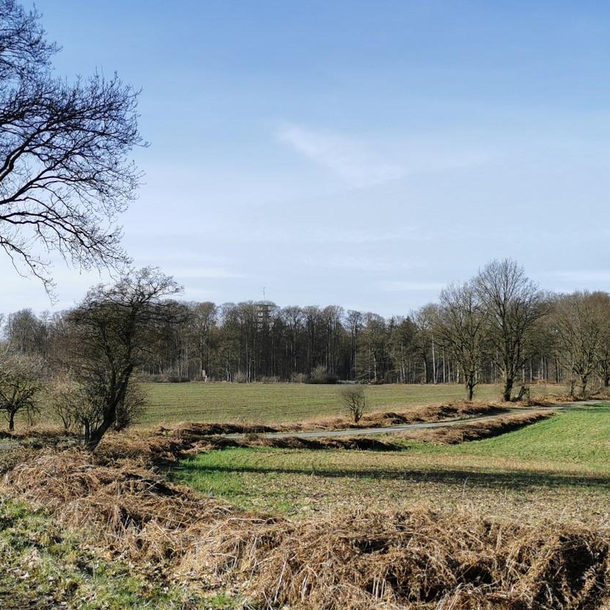
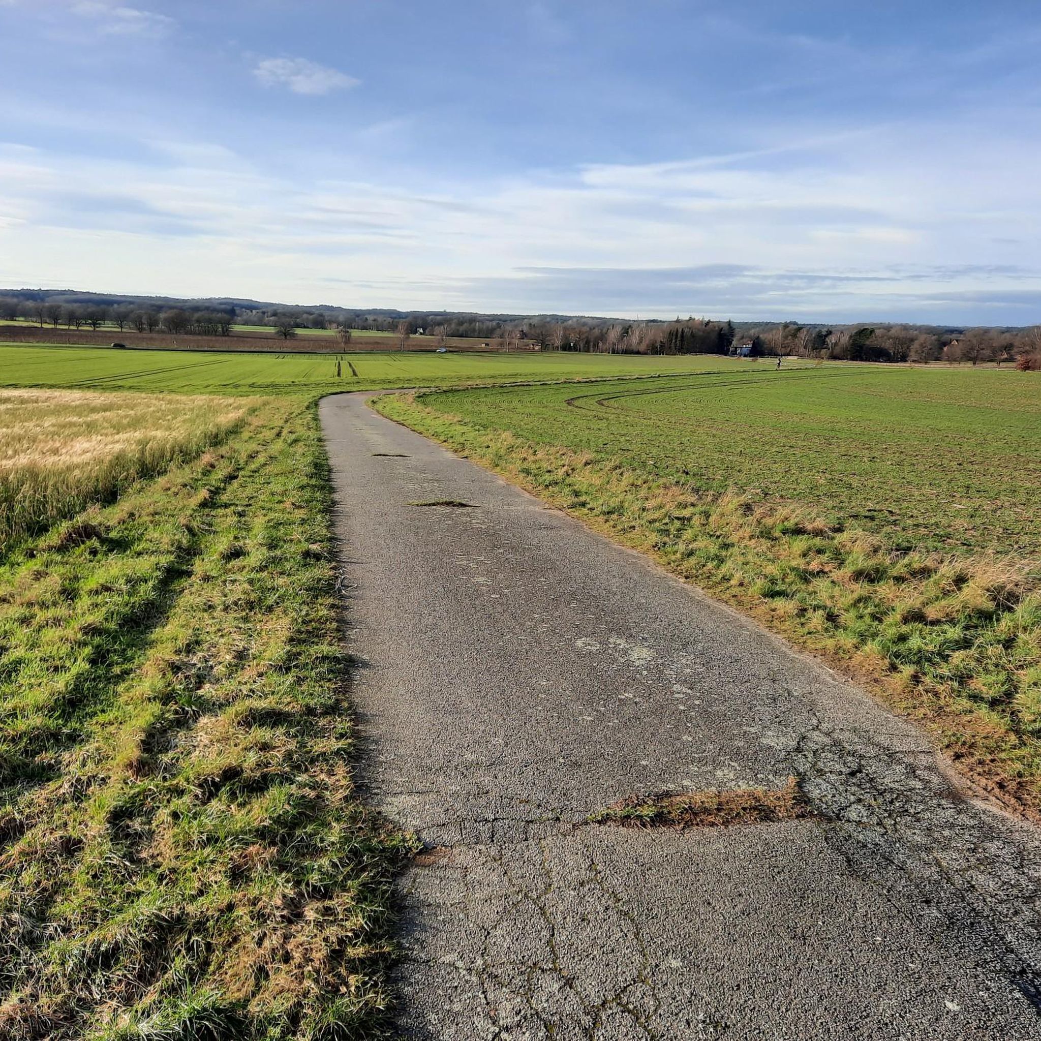
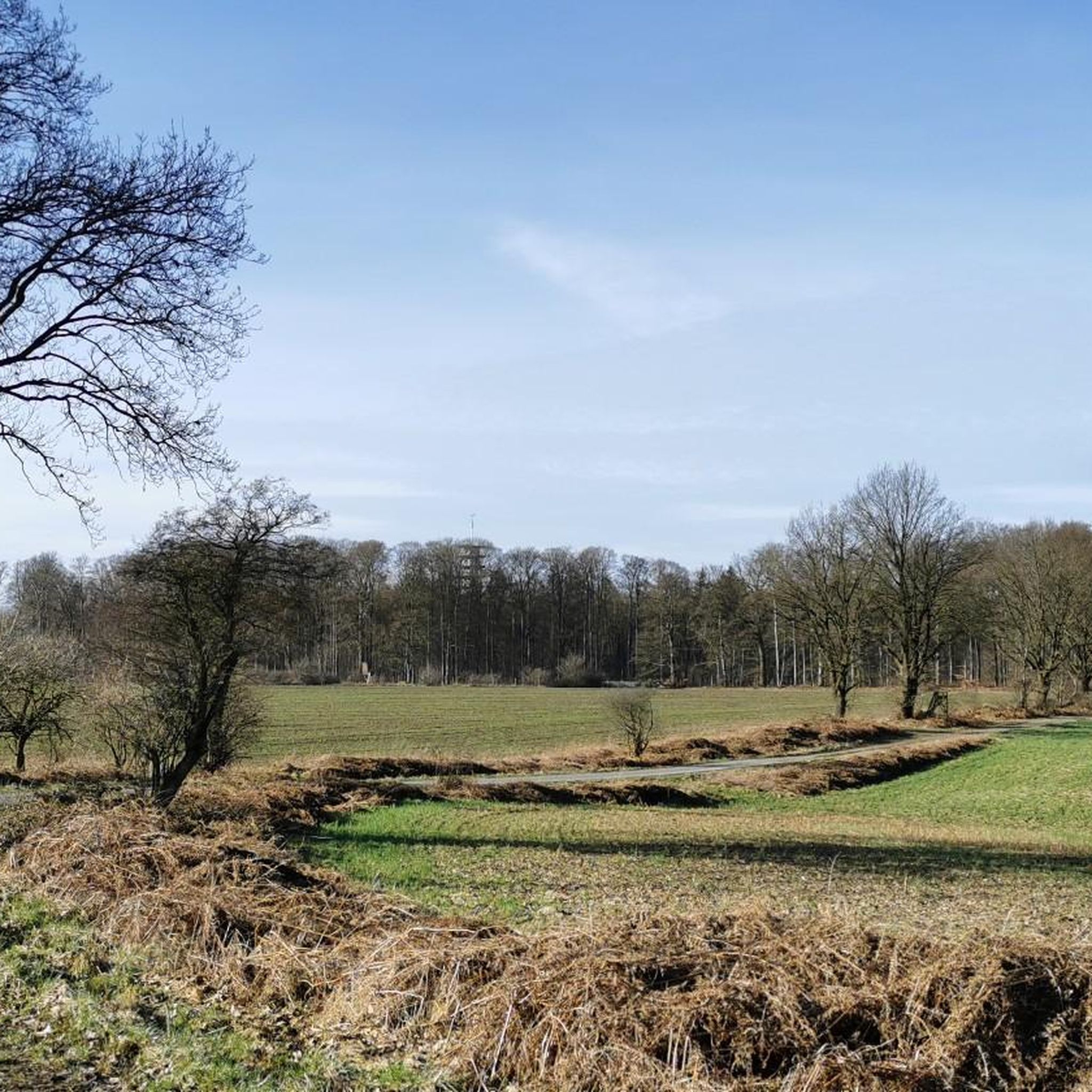

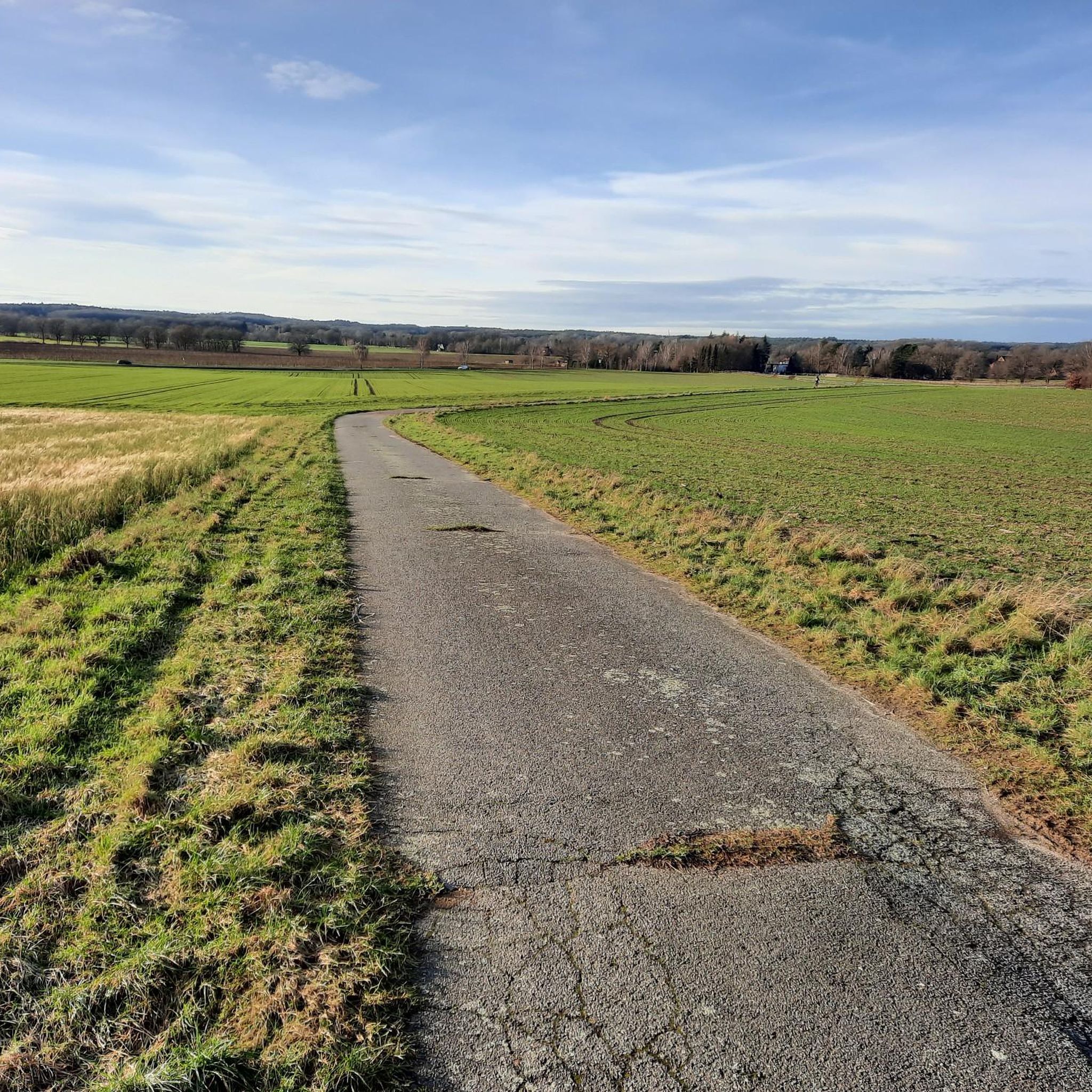
Tips from the Community

Morning drinks. The drinks taste good.
1
0

Beautiful break area with a great view 🤩
0
0
beautiful view
0
1
beautiful view
0
1

A Dutchman in Garlsdorf since 1865 with a square brick substructure.
0
1

Even if the navigation on your phone fails, you can still find your way out of the forest here.
0
1
Frequently Asked Questions
How many hiking trails are available around Garlstorf?
Garlstorf offers a selection of 9 hiking trails, catering to various preferences and fitness levels. These routes explore the diverse landscapes of the region, including forests, heathland, and local landmarks.
What is the best time of year to go hiking in Garlstorf?
The best seasons for hiking in Garlstorf are typically from spring to autumn. During these months, you can fully appreciate the region's natural beauty, especially the purple-blooming heather fields of the Lüneburg Heath in late summer.
Are there any easy hiking trails suitable for beginners or a relaxed stroll?
Yes, Garlstorf has several easy trails. A great option is the Garlstorf Windmill – View over the fields loop from Garlstorf, which is just over 6.5 km long with minimal elevation gain, offering pleasant views of the surrounding countryside. Another easy choice is the Hiking loop from Garlstorf, a shorter 5.2 km route.
What kind of terrain and elevation can I expect on hikes around Garlstorf?
The landscape around Garlstorf is characterized by rolling hills, extensive forests like the Garlstorfer Wald, and the unique sandy soils of the Lüneburg Heath. Most trails feature moderate elevation changes, making them accessible for a wide range of hikers. For example, the Prominent intersection – View of Lüneburg Heath loop from Wildpark Lüneburger Heide has about 120 meters of elevation gain over 10.4 km.
Are there any circular hiking routes in Garlstorf?
Many of the trails around Garlstorf are designed as circular routes, allowing you to start and end at the same point. The Waldklause (Forest Inn) – Waldklause Restaurant loop from Garlstorf is a popular 8.3 km circular hike that takes you through scenic woodlands.
What interesting landmarks or viewpoints can I discover while hiking near Garlstorf?
The region offers several notable points of interest. You can hike to the historic Garlstorf Windmill, a local landmark from 1865. Further afield, within the Lüneburg Heath, you'll find iconic viewpoints like Wilseder Berg, offering panoramic vistas, and the unique kettle-hole valley of the Totengrund.
Are there any family-friendly hiking options in the Garlstorf area?
Yes, several routes are suitable for families. Shorter, easy loops like the Prominent intersection – Military Pond (Luhmühlen) loop from Wildpark Lüneburger Heide, at just 3.6 km, are ideal. Combining a hike with a visit to the nearby Wildpark Lüneburger Heide, which houses over 120 species, can also be a fun family outing.
Is Garlstorf a dog-friendly hiking destination?
Yes, Garlstorf and the surrounding Lüneburg Heath region are generally very welcoming to dogs. Many trails traverse natural areas like forests and heathland, providing ample space for dogs to enjoy. Some trails are specifically designated as dog-friendly, so always keep an eye out for local signage and leash requirements.
Where can I find parking for hiking trails in Garlstorf?
Parking is generally available at trailheads and key starting points in and around Garlstorf. For routes originating from the village itself, you'll often find designated parking areas. If starting from locations like the Wildpark Lüneburger Heide, there are usually visitor parking facilities.
What do other hikers enjoy most about hiking in Garlstorf?
The area is highly rated by the komoot community, with an average score of 4.58 stars. Reviewers often praise the peaceful atmosphere, the diverse natural landscapes ranging from dense forests to open heathland, and the well-maintained paths that make for enjoyable walks.
Are there options for refreshments or accommodation near the hiking routes?
Yes, Garlstorf and nearby villages offer options for refreshments and accommodation. You'll find local cafes and restaurants, such as the Waldklause, which is even featured as a starting or turning point in routes like the Bench With a View of the Pond – Waldklause Restaurant loop from Garlstorf. There are also guesthouses and hotels in the vicinity for longer stays.
Most popular routes around Garlstorf
Most popular attractions around Garlstorf

Get inspired with the komoot mobile app


Explore more
Browse the best Hikes in other regions.
