The best road cycling routes around São Gregório
4.7
(48)
1,755
riders
150
rides
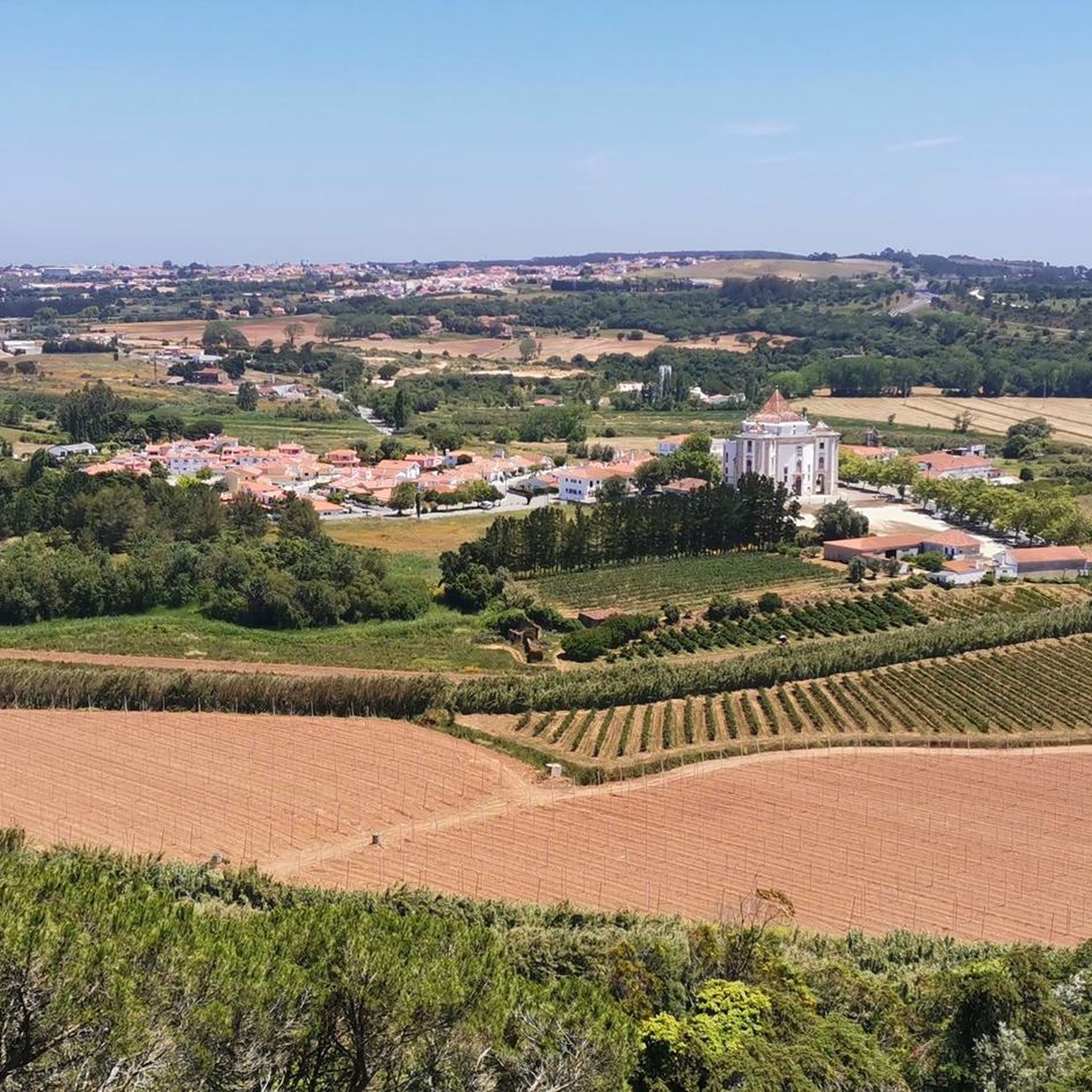
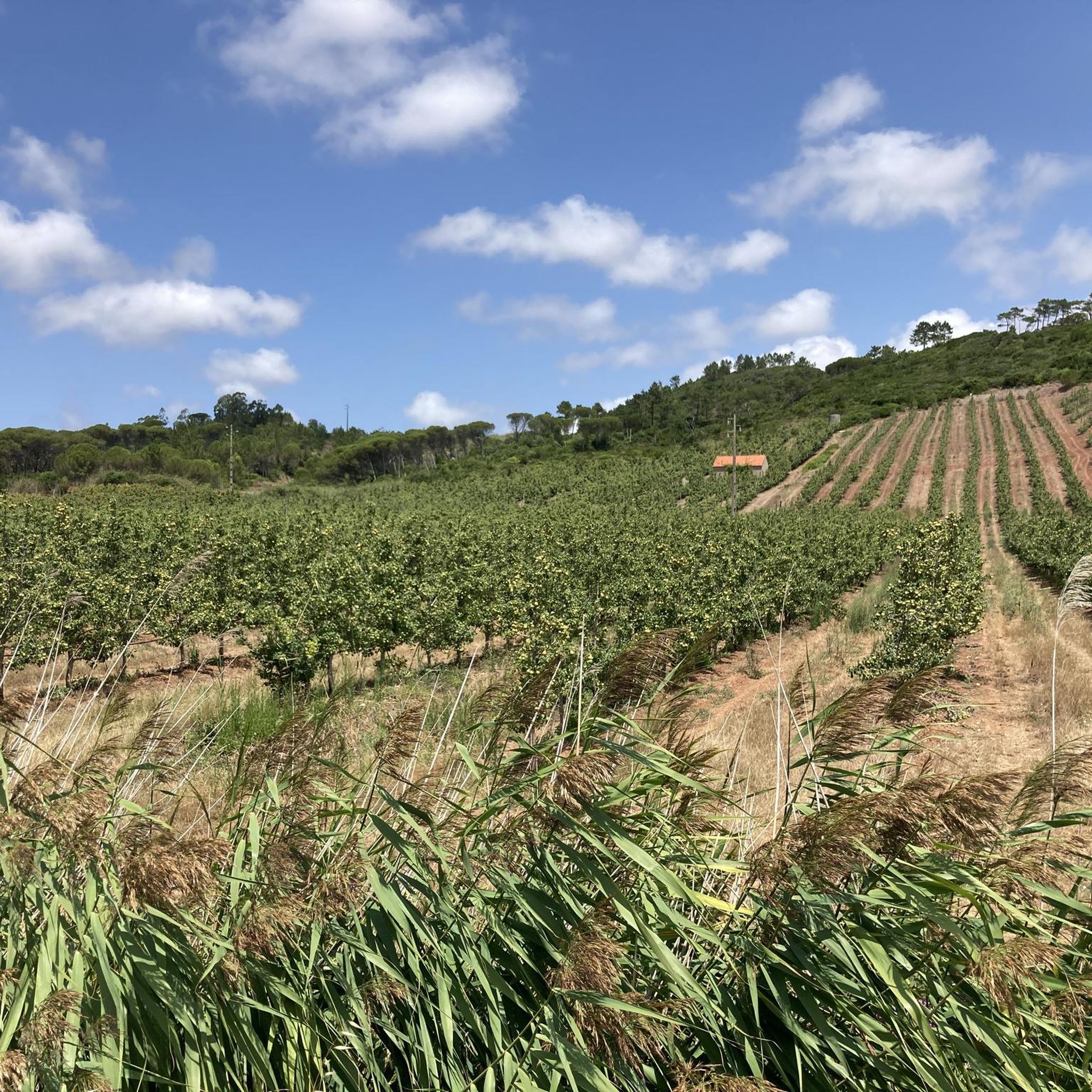
Road cycling around São Gregório, Portugal, offers a diverse landscape characterized by rolling hills, agricultural plains, and river valleys. The region features a mix of moderate climbs and flatter sections, providing varied terrain for cyclists. Natural features include riverbanks and views of more elevated areas like Serra de Montejunto. This area of central Portugal provides a range of road cycling experiences.
Best road cycling routes around São Gregório
- The most popular road cycling route is Ponte D. Luís I of…
Last updated: October 18, 2026
34
riders
Moderate road ride. Good fitness required. Mostly well-paved surfaces and easy to ride.
3.0
(1)
24
riders
101km
04:19
880m
880m
Moderate road ride. Good fitness required. Mostly well-paved surfaces and easy to ride.

16
riders
68km
03:01
620m
620m
Moderate road ride. Good fitness required. Mostly well-paved surfaces and easy to ride.
11
riders
57.9km
02:34
600m
600m
Moderate road ride. Good fitness required. Mostly well-paved surfaces and easy to ride.
5.0
(1)
16
riders
84.0km
04:07
1,270m
1,270m
Hard road ride. Very good fitness required. Mostly well-paved surfaces and easy to ride.
Get access to more routes and recommendations from other explorers.
Already have an account?
Our route recommendations are based on thousands of hikes, rides, and runs completed by other people on komoot.
Start today with a free account
Your next adventure awaits.
Tips from the Community

The club had 4 designations over the years, starting as Alpiarça Futebol Clube "Os Águias". Between the 50s and 60s, it became widely known for the 13 victories of the club's cyclists in the Volta a Portugal. Currently, besides football and maintaining a strong connection to the community, it focuses on promoting sport and culture.
8
0

Salt is extracted from shallow, concrete or stone pans of varying sizes, where saltwater drawn from a well is conveyed through ditches. Currently, the water is pumped by a motor and distributed according to a system that is generally accepted and respected (not always) by all the owners. Drainpipes, threshing floors, and wooden salt storage houses complete the complex known as the Rio Maior Salt Pans. According to technicians, a large and deep rock salt mine, traversed by an underground stream that feeds a well, makes the extracted water salty, seven times saltier than seawater. The salt is obtained from its exposure to the sun and wind, and the resulting evaporation of the water. This salt is deposited at the bottom of the pans, which are then piled up in pyramid-shaped heaps to dry until harvest. The process is rudimentary and similar to that used in seaside salt mines. The only difference is the picturesque valley that surrounds them, the well, the unique style of the sailors (as the men who work in the salt mines are known), the wooden houses and the country air that you breathe.
0
0
Salt is extracted from compartments – pits – made of cement or stone, of varying sizes and shallow depths, to which salt water is taken from a well through irrigation channels. Currently, the water is raised by means of a motor and distributed according to a system that is jointly accepted and respected (not always) by all the owners. The sewers, threshing floors and wooden houses for storing salt complete the set of what is called the Salt Mines of Rio Maior. According to technicians, a large and deep rock salt mine, crossed by an underground current that feeds a well, makes the water extracted from it salty, seven times saltier than that of the sea. The salt is obtained from its exposure to the sun and wind and the consequent evaporation of the water, deposited at the bottom of the pits, which is then placed in pyramid-shaped piles to dry until it is collected. The process is rudimentary and similar to that used in the salt mines on the seashore. The only difference is the picturesque valley that surrounds them, the well, the unique style of the sailors (as the men who work in the salt mines are known), the wooden houses and the country air that can be breathed.
3
0
This house 🏠 looks like the house of the painter Claude Monet 🎨, but,... without the garden.
12
0

Just three kilometres from Rio Maior, on the southern tip of the Serra dos Candeeiros, lie the only inland salt pans in Portugal, and the only ones still active in the whole of Europe. Surrounded by vineyards and cultivated fields, they are a true wonder of nature, as the sea is 30 kilometres away. Their history dates back to at least 1177, but it is said that rock salt has been mined since prehistoric times. The water, seven times saltier than that of the ocean, emerges from a well after passing through an underground deposit, leaving behind the pure vestige of an ancient sea.
1
0

Santarem has been Portuguese since 1147 and, with an old town center of almost 2 square kilometers, is one of the largest in the country. The city may be a little old, but it is definitely worth a visit.
24
1
The Rio Maior Salt Pans are located about 3 km from the city centre and are nestled in a valley at the foot of the Serra dos Candeeiros, in the heart of the Serras de Aire e Candeeiros Natural Park. Classified as a Property of Public Interest since December 1997, these are the only inland salt pans in Portugal, and the only ones in full operation in Europe. The first reference to their existence dates back to 1177, but it is thought that the use of rock salt was already being made in prehistoric times.
2
0

The Rio Maior Salt Pans are located about 3 km from the city center and nestled in a valley at the foot of the Serra dos Candeeiros, in the heart of the Serras de Aire e Candeeiros Natural Park. Classified as a Property of Public Interest since December 1997, these are the only inland salt pans in Portugal, and the only ones fully operational in Europe. The first reference to their existence dates back to 1177, but it is thought that rock salt mining has been practiced since prehistoric times. Surrounded by vineyards and farmland, they are considered a natural wonder, as the ocean is 30 km away. The salt is a vestige of the sea's presence in ancient times. The water, about seven times saltier than seawater, comes from a well after passing through a rock salt deposit. Visit the Salinas Tourist Office for information, maps, and guided tours. How to Get There: Latitude +39° 21' 52.57, Longitude -8° 56' 40.62
0
0
Frequently Asked Questions
How many road cycling routes are available around São Gregório?
There are over 150 road cycling routes around São Gregório, offering a wide range of experiences across its rolling hills, agricultural plains, and river valleys.
What kind of difficulty levels can I expect for road cycling routes in São Gregório?
São Gregório offers a mix of routes suitable for various skill levels. You'll find around 8 easy routes, over 110 moderate options, and nearly 40 challenging routes for experienced cyclists.
Are there any scenic viewpoints or natural features to look out for on road cycling routes in São Gregório?
Yes, the region offers views of more elevated areas like Serra de Montejunto. You can also find routes that pass by riverbanks and agricultural plains, providing diverse scenery. For a specific natural highlight, consider the Olhos d'Água Waterfall loop.
What do other road cyclists enjoy the most about road cycling in São Gregório?
The area is highly rated by the komoot community, with an average score of 4.5 stars from over 30 reviews. Reviewers often praise the varied terrain, which includes both moderate climbs and flatter sections, and the picturesque landscapes of rolling hills and river valleys.
Are there any circular road cycling routes in São Gregório?
Yes, many routes in São Gregório are designed as loops. For example, the Ponte D. Luís I of Santarém – Municipal Market of Santarém loop and the Weir in Portugal – Salinas de Rio Maior loop are popular circular options.
Are there any routes that pass by significant landmarks or historical sites?
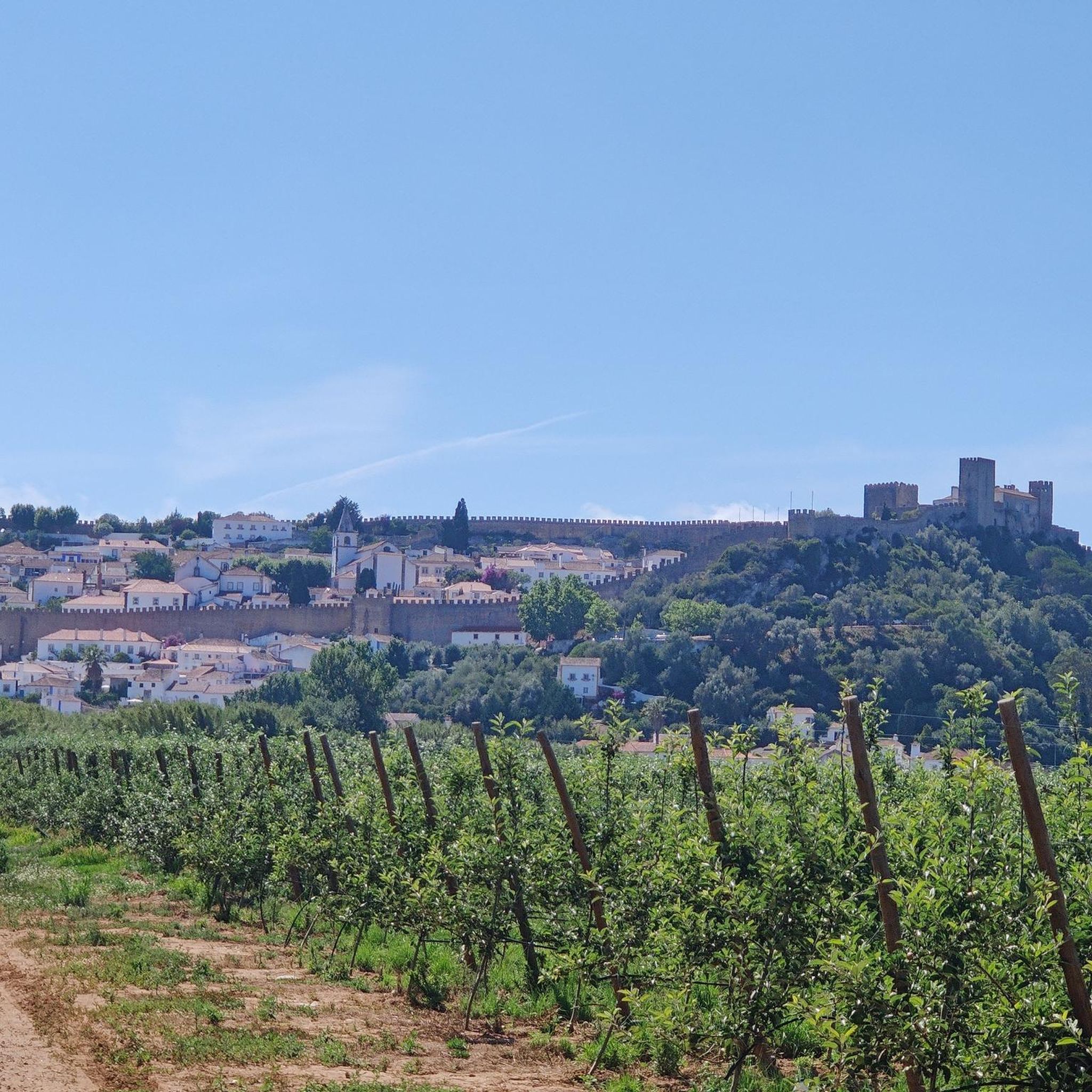
While the routes primarily focus on natural landscapes, some may pass near historical points of interest. For example, the João Almeida Monument loop is one such route. You can also explore nearby attractions like the Óbidos Castle or the Rio Maior Salt Pans, which are accessible from some cycling routes.
What is the longest road cycling route available in São Gregório?
One of the longer routes is the Weir in Portugal – Salinas de Rio Maior loop, which covers approximately 101 kilometers (62.8 miles) and features significant climbs.
Are there any challenging routes with significant elevation gain?
Yes, for experienced cyclists seeking a challenge, the View of Serra de Montejunto – Montejunto Monument loop is a difficult route covering about 84 kilometers (52.2 miles) with over 1200 meters of elevation gain.
Can I find family-friendly road cycling routes in São Gregório?
While many routes are moderate, there are around 8 easy routes available that could be suitable for families or those looking for a more relaxed ride. These routes typically feature less elevation and shorter distances.
What kind of terrain can I expect on road cycling routes around São Gregório?
The terrain around São Gregório is diverse, characterized by rolling hills, expansive agricultural plains, and scenic river valleys. You'll encounter a mix of moderate climbs and flatter sections, providing varied cycling experiences.
Are there any routes that pass by lakes or rivers?
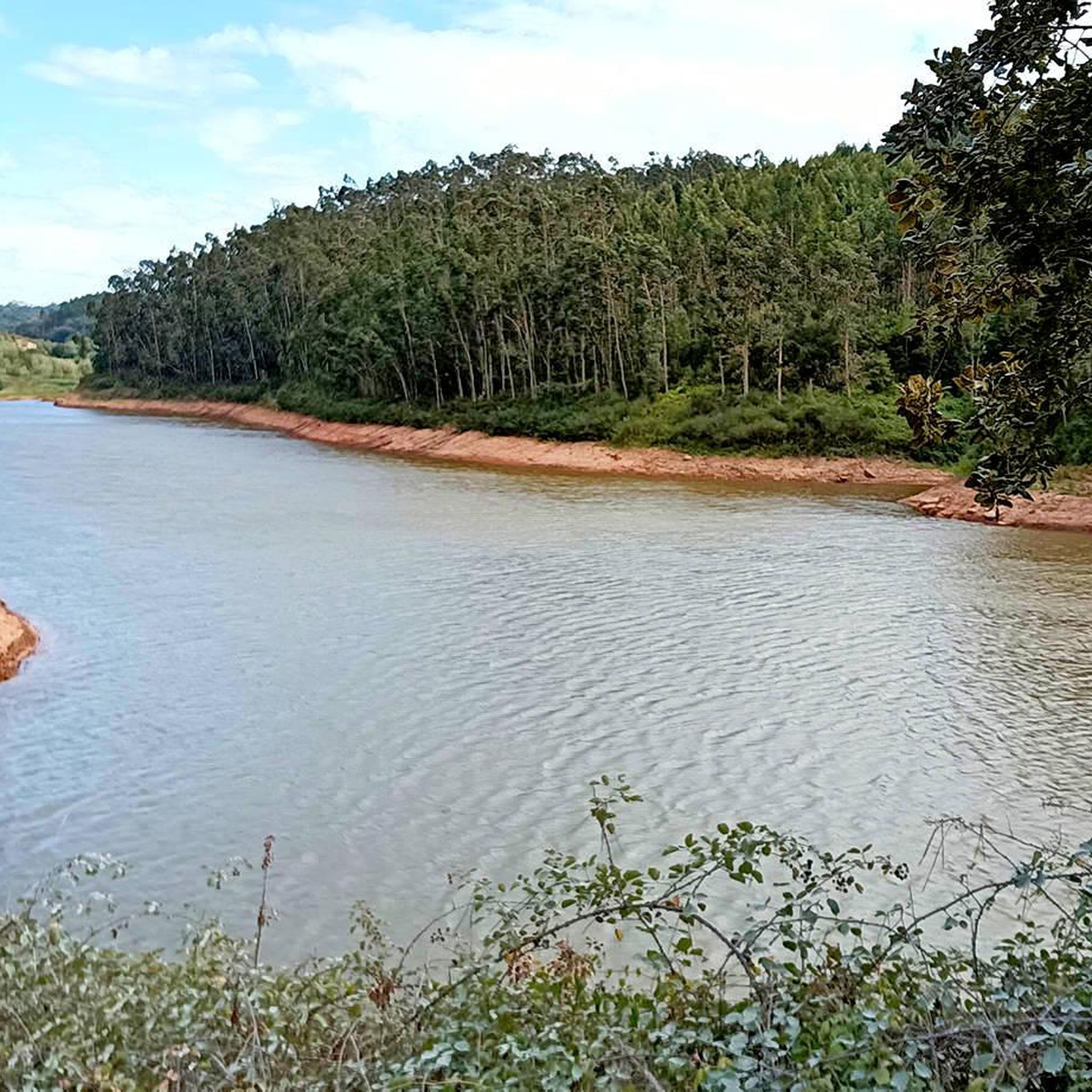
Yes, the region features river valleys and riverbanks, offering picturesque routes. For example, the Arnóia River is a notable natural feature in the area. You can also find highlights like the Arnóia River Dam and the Arnóia River itself.
What are some of the nearby attractions I can visit after a ride?
After your ride, you can explore attractions such as the historic Óbidos Castle, walk along the Óbidos Town Wall, or visit the unique Rio Maior Salt Pans. There are also natural spots like Parque Dom Carlos I in Caldas da Rainha.
Most popular routes around São Gregório
Most popular attractions around São Gregório

Get inspired with the komoot mobile app


Explore more
Browse the best Road cycling routes in other regions.
