The best road cycling routes around Cossourado e Linhares e Linhares e Linhares
4.1
(8)
369
riders
18
rides
Road cycling routes around Cossourado e Linhares e Linhares e Linhares traverse a landscape characterized by river valleys and historical fortifications. The region offers varied terrain, from moderate paths along waterways to more challenging ascents. Road cyclists can expect routes that connect ancient Roman bridges with fortified towns, providing a mix of cultural interest and physical challenge.
Best road cycling routes around Cossourado e Linhares e Linhares e Linhares
- The most popular road cycling route is Lovelhe Fort – Ponte…
Last updated: August 27, 2026
5.0
(3)
88
riders
68.3km
03:27
330m
330m
Moderate road ride. Good fitness required. Some segments of this route may be unpaved and difficult to ride.
4.0
(1)
50
riders
75.2km
03:55
720m
720m
Moderate road ride. Good fitness required. Some segments of this route may be unpaved and difficult to ride.

Sign up for free
30
riders
80.9km
04:01
640m
640m
Moderate road ride. Good fitness required. Mostly well-paved surfaces and easy to ride.
3.5
(2)
25
riders
63.6km
03:25
1,150m
1,150m
Hard road ride. Very good fitness required. Mostly well-paved surfaces and easy to ride.
20
riders
64.7km
03:29
1,090m
1,090m
Hard road ride. Very good fitness required. Some segments of this route may be unpaved and difficult to ride.
Get access to more routes and recommendations from other explorers.
Sign up for free
Already have an account?
Our route recommendations are based on thousands of hikes, rides, and runs completed by other people on komoot.
Start today with a free account
Your next adventure awaits.
Login or Signup
Popular around Cossourado e Linhares e Linhares e Linhares
Gravel biking around Cossourado e Linhares e Linhares e Linhares
Cycling around Cossourado e Linhares e Linhares e Linhares
Hiking around Cossourado e Linhares e Linhares e Linhares
Running Trails around Cossourado e Linhares e Linhares e Linhares
MTB Trails around Cossourado e Linhares e Linhares e Linhares
Tips from the Community

Valença Fortress, also known as Praça-forte de Valença do Minho, is an imposing jewel of Portuguese military architecture with over eight centuries of history. Its origins date back to the 13th century, when King Sancho I and later Afonso III fortified it to protect the border with Galicia. During the Restoration War (17th–18th centuries), it was transformed into a Vauban-style fortress under the engineer Miguel de l’École and the architect Manuel Pinto de Vilalobos, being completed in 1713. The fortress withstood attacks during the Restoration, was captured and recaptured several times, and was also defended during the Napoleonic Wars and the Liberal Wars.
4
0

This chapel is located between the banks of the Minho River and the urban area of Seixas, without any chronological or documentary data. Its stone construction, with openings limited by the door and a small postern, may place it in the Middle Ages. Chapel of Saint Sebastian This chapel is located between the banks of the Minho River and the urban area of Seixas, following the quay and with the cycle path passing right next to it, as seen in the photo. Without any chronological or documentary data, the existence of the Chapel of Saint Sebastian is only confirmed by its construction on the site. 👍🥾 You can obtain more information about this chapel at the link below.
0
0

The main attraction of the town.
2
0

Granite monument marking the Way of St. James and encouraging pilgrims to persevere.
1
0

The imposing Valença Fortress rises atop a hill, dominating the landscape and leaving an unforgettable impression on those who arrive. More than a symbol, it is the soul of the city, preserving centuries of history within its walls. Built in the 17th century on the ruins of an ancient 13th-century castle, the fortress is a masterful example of military architecture of the period, with its star-shaped walls stretching for an impressive 5.5 kilometers. Upon entering, one immediately senses the strength and grandeur of Valença, one of the oldest towns in Portugal.
2
0
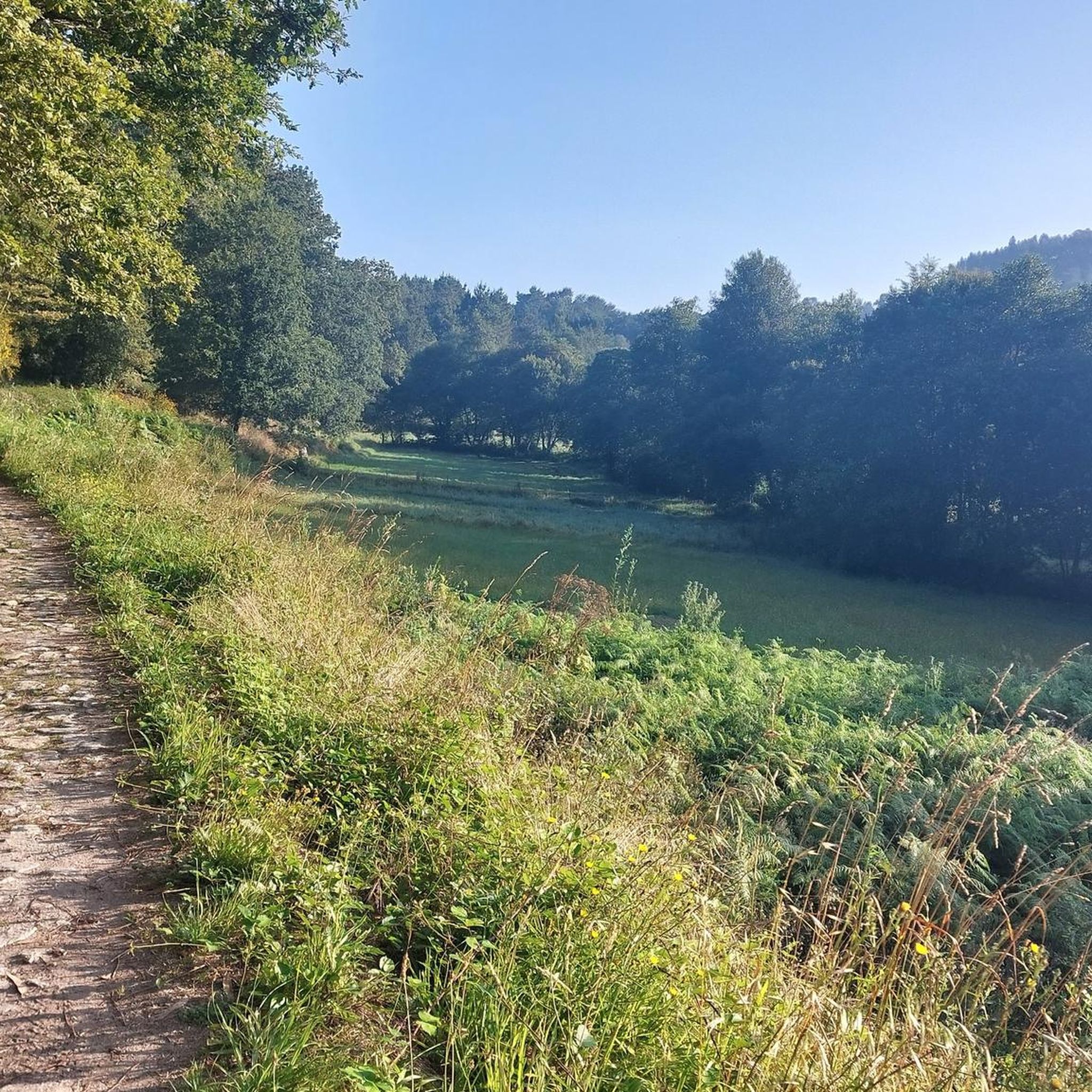
As you walk from Rubiães to Valença, this is your first glimpse of your destination. Most people who travel this little road are on their way to Santiago, and the locals are very welcoming. The path is bucolic, and the view makes it even more wonderful. Your destination is within your reach!
1
0

Take advantage and visit the horn of the beak, see photos
0
0
Frequently Asked Questions
How many road cycling routes are available in Cossourado e Linhares e Linhares e Linhares?
There are over 20 road cycling routes available in the region, offering a variety of experiences for different skill levels.
What kind of terrain can I expect when road cycling in Cossourado e Linhares e Linhares e Linhares?
The region features a diverse landscape characterized by river valleys and historical fortifications. You can expect varied terrain, from moderate paths along waterways to more challenging ascents with significant elevation changes.
Are there any challenging road cycling routes for experienced cyclists?
Yes, the region offers several challenging routes. For instance, the Valença Fortress – Fortress of Valença loop from Coura is a difficult 40.2-mile (64.7 km) path with substantial climbs and views of historical fortresses. Another demanding option is the Ponte da Veiga – Valença Fortress loop from São Pedro da Torre, which is 61.2 miles (98.5 km) long with significant elevation.
Are there any moderate road cycling routes suitable for intermediate riders?
Absolutely. A popular moderate route is the Lovelhe Fort – Ponte de Caminha loop from São Pedro da Torre, a 33.7-mile (54.2 km) trail that follows river valleys and passes historical fortifications. Another good option is the Roman Bridge of Ponte de Lima – Ponte de Lima loop from Coura.
What historical landmarks can I see along the road cycling routes?
The routes often connect ancient Roman bridges with fortified towns. You might encounter landmarks such as the Medieval Bridge of Veiga da Mira or the Pilgrims' Stone Cross. The region is rich in historical fortifications like the Valença Fortress.
Are there any scenic viewpoints or natural attractions along the routes?
Yes, the region offers beautiful natural sights. You can find the Waterfall and Cascades of the Rio Couro. For panoramic views, some routes pass near peaks like Alto de São Paio (638 m) or Salgosa Summit (553 m), offering great vantage points.
What do other road cyclists say about the routes in Cossourado e Linhares e Linhares e Linhares?
The routes in this region are highly rated by the komoot community, with an average score of 4.25 stars from over 6 reviews. Cyclists often praise the mix of cultural interest and physical challenge, as well as the varied terrain.
Are there any long-distance road cycling routes available?
Yes, for those looking for longer rides, the Ponte da Veiga – Valença Fortress loop from São Pedro da Torre is a substantial 61.2-mile (98.5 km) route that can take nearly five hours to complete.
What is the best time of year for road cycling in this region?
The region generally offers pleasant cycling conditions from spring through autumn. The mild climate makes it suitable for road cycling for a significant portion of the year, though checking local weather forecasts is always recommended.
Are the road cycling routes typically loop trails?
Many of the road cycling routes in Cossourado e Linhares e Linhares e Linhares are designed as loops, allowing you to start and finish at the same point. This includes popular options like the Lovelhe Fort – Vilar de Mouros loop from São Pedro da Torre.
Are there places to stop for refreshments or rest along the routes?
While specific cafes are not listed for every route, the region's towns and villages, especially those with historical significance, typically offer opportunities for refreshments. You might also find designated rest areas, such as the Rest and picnic area. Top of Serra da Labruja.
Most popular routes around Cossourado e Linhares e Linhares e Linhares
Most popular attractions around Cossourado e Linhares e Linhares e Linhares

Get inspired with the komoot mobile app


Explore more
Browse the best Road cycling routes in other regions.
