The best walks and hikes in Norse Peak Wilderness
4.8
(45)
964
hikers
49
hikes
Hikes in Norse Peak Wilderness explore a landscape of volcanic peaks and scenic basins in Washington's central Cascade Range. The region is characterized by its varied topography, with temperate rainforest on the western slopes and drier forests of pine and fir to the east. The trails navigate through alpine meadows and past prominent geological features, offering routes with significant elevation gain.
Best hiking trails in Norse Peak Wilderness
- The most popular hiking route is Scout Pass – Norse Peak loop from Crystal Mountain, a 8.9 mile (14.3 km) trail that takes about 5 hours 2 minutes to complete. This is a difficult route that rewards hikers with expansive views from the summit.
- Another top favourite among local hiking enthusiasts is Henskin Lake – Grubstake Peak loop from Crystal Mountain, a moderate 8.1 mile (13.0 km) path. The trail involves a steady climb and passes by a subalpine lake.
- Local hiking enthusiasts also love the Noble Knob loop from Corral Pass, a 6.9 mile (11.0 km) trail leading through forested areas, often completed in about 3 hours 11 minutes.
- Hiking in Norse Peak Wilderness is defined by its high-elevation ridges, subalpine lakes, and dense evergreen forests. The trail network provides a range of options suitable for both challenging day hikes and more moderate outings.
- The routes in Norse Peak Wilderness are highly rated by the komoot community with an average score of 4.7 stars from more than 35 reviews. More than 650 hikers have used komoot to explore Norse Peak Wilderness's varied terrain.
Last updated: October 10, 2026
6
hikers
6.90km
02:10
0m
790m
Hike the Norse Peak Trail, a moderate 4.3-mile route through wildfire-affected forests and alpine meadows with Mount Rainier views.
4
hikers
5.85km
01:42
180m
100m
The Noble Knob Trail offers a delightful escape into the mountains, renowned for its spectacular panoramic views, especially of Mount Rainier. As you ascend, the terrain shifts from shady forest paths to open ridge walks, revealing high alpine meadows bursting with wildflowers like lupine and bear grass during summer. You'll also catch glimpses of Lake George nestled below, adding to the scenic beauty of this relatively short hike.
Planning your visit to Noble Knob is straightforward, though a high-clearance vehicle is often recommended due to potentially rough access roads. The trail is dog-friendly, provided your furry friend stays on a leash. For the best experience, aim to visit between July and September when the trail is snow-free, or in early summer to witness the peak wildflower blooms. Arriving on a weekday can help you avoid crowds and enjoy the tranquility.
What makes the Noble Knob Trail truly stand out is its accessibility combined with its incredible scenic rewards. It provides "fantastic" views of Mount Rainier and other peaks like Mount Baker and Glacier Peak without demanding extreme effort, making it a popular choice for those seeking impressive vistas. The area was once home to a fire lookout, and the broad summit of Noble Knob remains a perfect spot to relax and soak in the expansive surroundings.

3.77km
01:01
60m
30m
The Pleasant Valley Trail 999 offers a serene and mostly forested hiking experience, perfect for a relaxed outing. You'll follow a path with gentle ups and downs, frequently encountering the American River, which boasts a luminous blue-green hue, particularly striking in early fall. Keep an eye out for unique thatch ant hills as you explore this easy 2.3-mile (3.8 km) loop, which involves a modest 199 feet (61 metres) of elevation gain and takes about 1 hour and 1 minute to complete. It's a quiet escape where you can even find spots to wade in the clear river or relax on its banks.
Planning your visit to Pleasant Valley Trail 999 is straightforward, with multiple access points off Highway 410, including Hell's Crossing and Union Creek. Be aware that a portion of the trail is currently closed at the Pinus Creek bridge due to a washout. If your route takes you into the William O. Douglas Wilderness, you'll need a free self-issuing wilderness permit, and a Recreation Pass is required at the Union Creek trailhead. During winter, the trail transforms into a popular cross-country skiing destination, requiring a Washington State Sno-Park permit.
This trail is nestled within the scenic Okanogan-Wenatchee National Forest, offering a taste of the William O. Douglas Wilderness without a strenuous climb. Beyond the main loop, you can find the Pleasant Valley Interpretive Site/Trail (999A), which provides an accessible day-use area with exhibits for a shorter, educational experience. The American River, a constant companion along the route, also offers opportunities for fishing, though it's always wise to check current regulations before casting a line.
1.26km
00:24
0m
140m
Enjoy an easy 0.8-mile hike on the Blue Bell Loop in Mount Baker-Snoqualmie National Forest, perfect for a quick nature walk.
4
hikers
9.72km
03:33
590m
590m
Moderate hike. Good fitness required. Easily-accessible paths. Suitable for all skill levels.
Get access to more routes and recommendations from other explorers.
Already have an account?
Our route recommendations are based on thousands of hikes, rides, and runs completed by other people on komoot.
Start today with a free account
Your next adventure awaits.
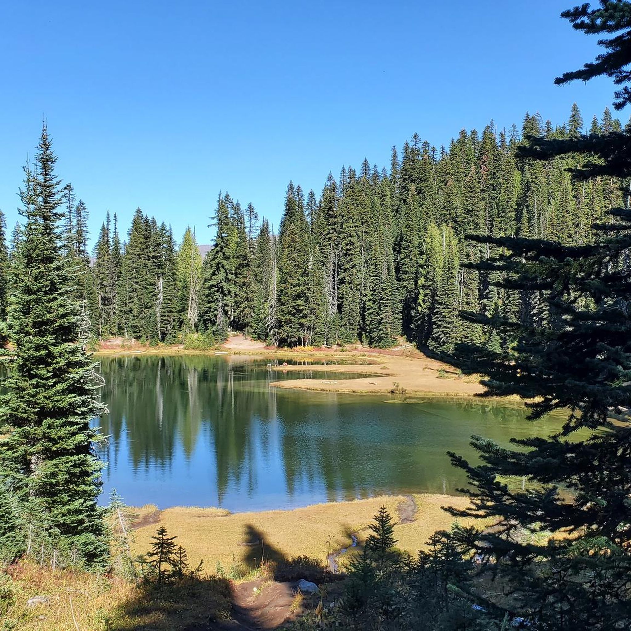


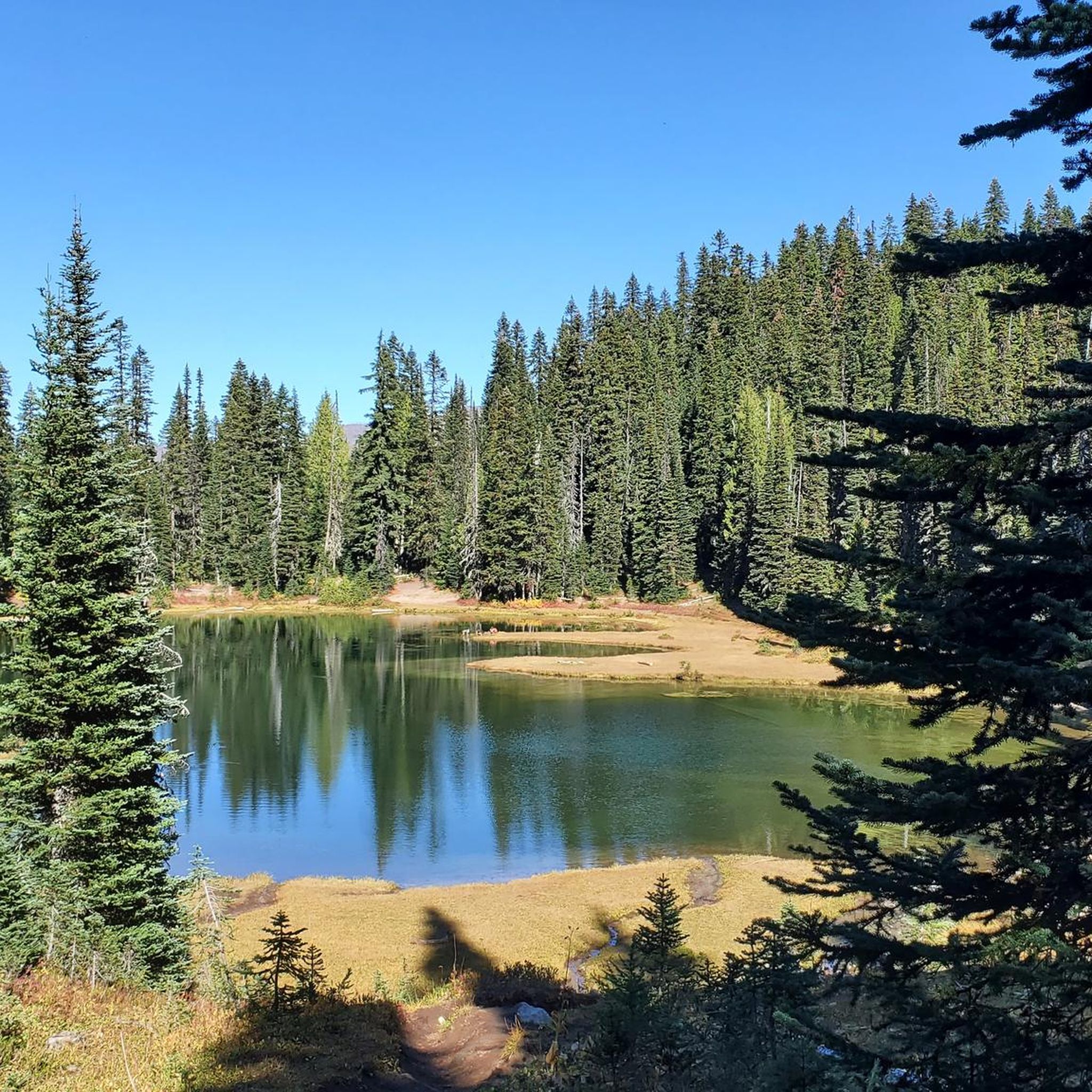
Tips from the Community

Mountains are best to be seen from a distance. Up here on the other side of the valley, you can enjoy the stunning view towards Mount Rainier and the Crystal Mountain Resort way below you. There is a long spur trail leading to the resort if you have or want to get into civilization.
4
0
Scout Pass is a high point between Mount Rainier National Park and the Norse Peak Wilderness. If you hike in a northbound direction, take a last look at Mount Rainier before you hike down into a lovely valley. There is a flat spot for one tent.
1
0
Frequently Asked Questions
Are there any family-friendly hikes in Norse Peak Wilderness?
Yes, while the region is known for its challenging peaks, there are about 10 easier trails available. These routes generally involve less elevation gain and are shorter, making them more suitable for families or those looking for a less strenuous day out. Look for trails that explore the lower elevation forests and meadows.
Can I bring my dog on hikes in the wilderness area?
Dogs are generally permitted on trails within the Norse Peak Wilderness, but they must be kept on a leash at all times to protect wildlife and other hikers. It's always a good practice to check the specific regulations for your chosen trail with the U.S. Forest Service before you go.
Are there good circular hiking routes in the area?
Yes, the area offers several excellent loop hikes that allow you to experience a variety of scenery without backtracking. For a moderate loop with great views, consider the Pickhandle Point – Crown Point loop from Crystal Mountain. It's a rewarding trail that showcases the region's characteristic ridges and forests.
What is the best time of year to see wildflowers?
The alpine meadows of Norse Peak Wilderness typically burst with wildflowers from July through August. The timing can vary depending on the elevation and the previous winter's snowpack. The eastern side of the Cascade Crest, with its expansive meadows, is particularly known for its vibrant summer displays.
How many hiking trails are in Norse Peak Wilderness?
There are over 30 designated hiking trails to explore in the Norse Peak Wilderness. These range from difficult summit treks to more moderate forest walks, offering a wide variety of options for different fitness levels and interests.
What do other hikers enjoy about Norse Peak Wilderness?
The area is highly rated by the komoot community, with an average score of 4.7 stars. Hikers often praise the stunning panoramic views from the ridges, the diverse landscapes that change from west to east, and the sense of solitude found on the trails.
Are there opportunities for backpacking and multi-day hikes?
Absolutely. A 27-mile section of the Pacific Crest Trail (PCT) runs through the heart of the wilderness, providing a fantastic option for a multi-day trek. Additionally, you can link various trails to create your own backpacking loops, like the Campsites loop from Crystal Mountain, which is well-suited for an overnight trip.
What are the trail conditions like after the 2017 fire?
Many trails in the Norse Peak Wilderness were affected by the 2017 Norse Peak Fire. While the landscape is in a state of natural recovery, hikers may encounter burned sections, fallen trees, and areas of trail erosion. It's crucial to check the latest trail conditions and alerts from the Mt. Baker-Snoqualmie and Okanogan-Wenatchee National Forests before your hike.
What kind of views can I expect from the higher elevations?
The views from the peaks and ridges are a major highlight. On a clear day from summits like Norse Peak, you can expect breathtaking panoramic vistas that include Mount Rainier, Mount Adams, Mount Hood, and sometimes even Glacier Peak and the Olympic Mountains.
Where can I park to access the trails?
Parking is available at various trailheads. The Scout Pass – Norse Peak loop, for example, starts near Crystal Mountain, where there are parking options. The Norse Peak Trailhead on Crystal Mountain Road is a popular starting point, but it can fill up on weekends, so arriving early is recommended. Always display a valid recreation pass if required.
Can I go camping in the Norse Peak Wilderness?
Yes, dispersed camping is permitted throughout most of the wilderness area, allowing for excellent backpacking opportunities. Standard wilderness regulations apply, such as practicing Leave No Trace principles. Be sure to camp at least 200 feet from lakes, streams, and trails.
Most popular routes in Norse Peak Wilderness
Most popular attractions in Norse Peak Wilderness

Get inspired with the komoot mobile app


Explore more
Browse the best Hikes in other regions.
