The best road cycling routes around Huntington
46
riders
12
rides
Road cycling routes around Huntington offer a diverse landscape for cyclists, characterized by the winding Ohio, Guyandotte, and Big Sandy Rivers, alongside the rolling terrain of the Appalachian foothills. The region features a mix of urban pathways and roads that extend into natural settings, providing varied elevation changes. Infrastructure like the Paul Ambrose Trail for Health (PATH) contributes to a growing network of cycling-friendly options within the city and surrounding areas. This combination allows for rides through parks, along riverfronts, and into more rural landscapes.
Best road cycling routes around Huntington
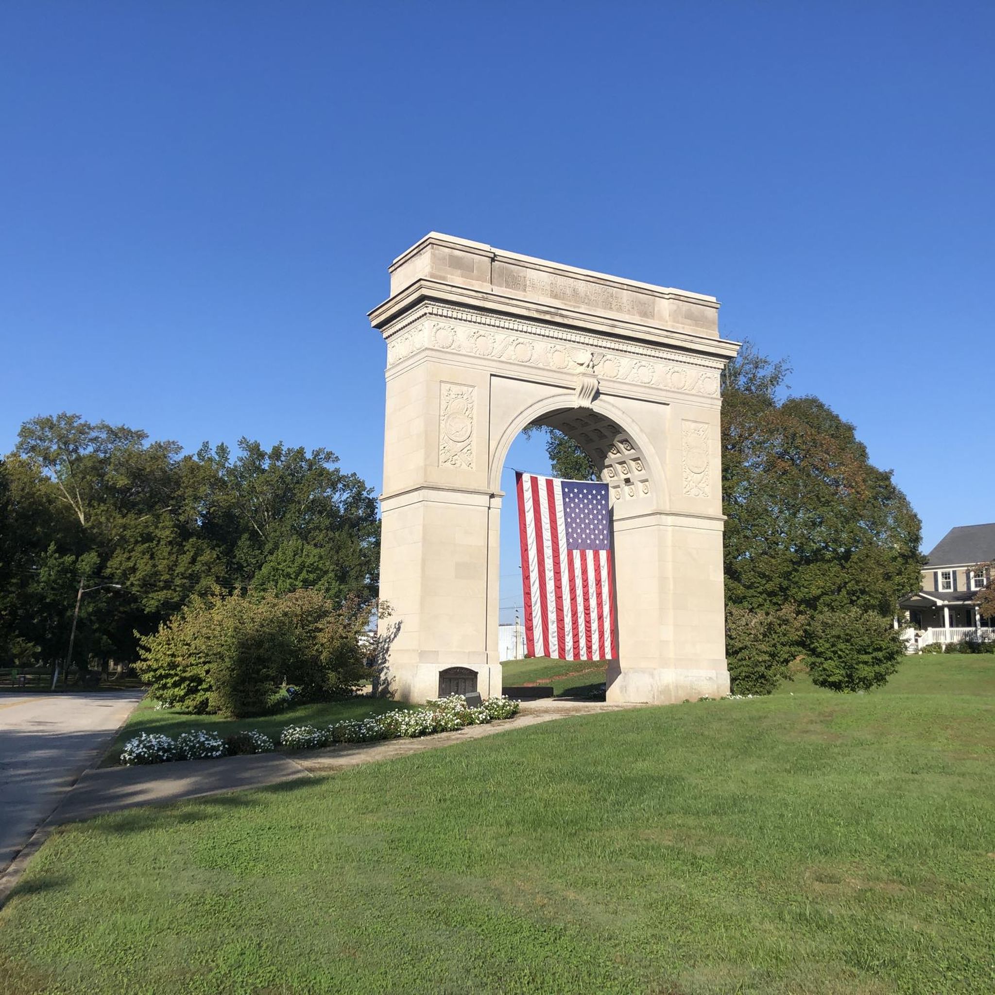
- The most popular road cycling route is Next to the Memorial Park loop from Huntington, a 23.2 miles (37.3 km) trail that takes 1 hour 34 minutes to complete. This route offers a moderate ride with notable elevation gain.
- Another top favourite among local road cyclists is Cabell County Courthouse loop from Huntington, an easy 17.5 miles (28.2 km) path. This route provides a relatively flat urban cycling experience.
- Local road cyclists also love the Next to the Memorial Park – Cabell County Courthouse loop from Spring Valley High School, a 42.2 miles (68.0 km) trail leading through varied terrain with significant elevation changes, often completed in about 3 hours 2 minutes.
- Road cycling around Huntington is defined by riverfront paths, urban park routes, and roads traversing the Appalachian foothills. The network offers options for different ability levels, from easy urban loops to more challenging rides with greater elevation.
- The guide includes highly-rated routes that showcase the best of the region's landscape. More than 40 road cyclists have used komoot to explore Huntington's varied terrain.
Last updated: July 8, 2026
8
riders
37.3km
01:34
230m
230m
Moderate road ride. Great for any fitness level. Some segments of this route may be unpaved and difficult to ride.
1
riders
26.6km
01:11
230m
230m
Easy road ride. Great for any fitness level. Mostly well-paved surfaces and easy to ride.

Sign up for free
5
riders
46.0km
01:56
280m
280m
Moderate road ride. Great for any fitness level. Some segments of this route may be unpaved and difficult to ride.
3
riders
50.9km
02:12
410m
410m
Moderate road ride. Good fitness required. Some segments of this route may be unpaved and difficult to ride.
4
riders
Moderate road ride. Good fitness required. Some segments of this route may be unpaved and difficult to ride.
Get access to more routes and recommendations from other explorers.
Sign up for free
Already have an account?
Our route recommendations are based on thousands of hikes, rides, and runs completed by other people on komoot.
Start today with a free account
Your next adventure awaits.
Login or Signup
Popular around Huntington

Tips from the Community

Frequently Asked Questions
How many road cycling routes are available around Huntington?
There are 12 road cycling routes around Huntington, offering a variety of experiences for different skill levels. You'll find one easy route and 11 moderate routes to explore the area.
Are there any family-friendly road cycling options in Huntington?
While most routes are moderate, the area's developing infrastructure, like the Paul Ambrose Trail for Health (PATH), offers segments suitable for families. For a dedicated easy route, consider the Cabell County Courthouse loop from Huntington, which is 28.2 km long with minimal elevation gain.
What kind of terrain can I expect on road cycling routes in Huntington?
Huntington is nestled within the Appalachian foothills, so you can expect a mix of rolling hills and some elevation changes, offering scenic views of forests and river valleys. Routes often follow the contours of the Ohio, Guyandotte, and Big Sandy Rivers, providing picturesque backdrops.
Are there any circular road cycling routes around Huntington?
Yes, many of the routes around Huntington are designed as loops, allowing you to start and finish at the same point. Examples include the Next to the Memorial Park loop from Huntington and the Cabell County Courthouse loop from Huntington.
What are some notable landmarks or natural features to see along the road cycling routes?
Road cycling routes in Huntington often pass through or near significant local features. You might cycle through downtown Huntington, past Ritter Park with its renowned Rose Garden, or explore areas near the Ohio River. The broader region also includes Barboursville Park and Beech Fork State Park, offering additional natural beauty.
Are there options for longer distance road cycling in the Huntington area?
Yes, for those seeking longer rides, areas like Spring Valley and Northern Wayne County are known for their low traffic and good road conditions, with loops ranging from 15 to over 100 miles. An example of a longer route is the Next to the Memorial Park – Cabell County Courthouse loop from Spring Valley High School, which covers nearly 68 km.
What is the Paul Ambrose Trail for Health (PATH) and how does it relate to road cycling?
The Paul Ambrose Trail for Health (PATH) is a significant bicycle and pedestrian trail system in Huntington, currently spanning about 18.6 miles. While it's a multi-use trail, segments of PATH provide excellent opportunities for urban road cycling, connecting areas like downtown Huntington, Ritter Park, and Old Central City.
Can I find cafes or pubs near the road cycling routes in Huntington?
Many routes, especially those passing through downtown Huntington or Old Central City, will offer opportunities to stop at local cafes, pubs, and restaurants. Ritter Park, a common point of interest, is also well-situated for accessing amenities.
Is Huntington considered a bike-friendly city?
Huntington is increasingly recognized as a bike-friendly city, even being highlighted as one of West Virginia's most 'cycle-savvy' cities by WV Tourism. There's an ongoing commitment to expanding cycling infrastructure, including the PATH system, and local groups advocate for road safety and bike lanes.
Are there any road cycling routes that offer significant elevation gain for a challenge?
Given Huntington's location in the Appalachian foothills, many moderate routes feature noticeable elevation changes. For example, the Cabell County Courthouse – Next to the Memorial Park loop from Huntington includes over 350 meters of ascent, providing a good workout amidst scenic surroundings.
What is the best time of year for road cycling in Huntington?
The spring and fall months generally offer the most pleasant weather for road cycling in Huntington, with comfortable temperatures and vibrant natural scenery. Summer can be enjoyable, but be prepared for warmer temperatures and potential humidity. Winter cycling is possible but may require appropriate gear for colder conditions.
Most popular routes around Huntington

Get inspired with the komoot mobile app


Explore more
Browse the best Road cycling routes in other regions.
