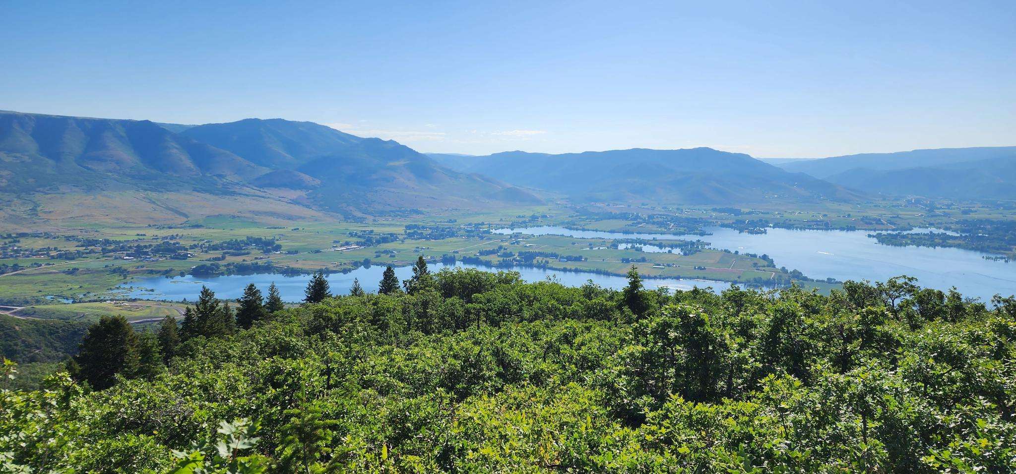
The best road cycling routes around Wolf Creek
128
riders
8
rides
Road cycling routes around Wolf Creek traverse the Eastern San Juan Mountains, featuring challenging climbs and high-elevation passes. The region includes the Continental Divide at 10,850 feet, with landscapes shifting from lush forests and valleys to more arid sections. Cyclists encounter varied terrain and panoramic views throughout the area.
Best road cycling routes around Wolf Creek
- The most popular road cycling route is Old Snowbasin Road and Pineview Loop, a 32.9 miles (52.9 km) moderate trail that takes 2…
Last updated: July 7, 2026
30
riders
52.9km
02:41
800m
800m
Moderate road ride. Good fitness required. Mostly well-paved surfaces and easy to ride.
12
riders
25.4km
01:01
140m
140m
Easy road ride. Great for any fitness level. Mostly well-paved surfaces and easy to ride.

Sign up for free
21
riders
32.6km
01:24
220m
220m
Easy road ride. Great for any fitness level. Mostly well-paved surfaces and easy to ride.
18
riders
104km
04:55
1,370m
1,370m
Hard road ride. Very good fitness required. Some segments of this route may be unpaved and difficult to ride.
10
riders
32km
01:46
660m
660m
Moderate road ride. Good fitness required. Mostly well-paved surfaces and easy to ride.
Get access to more routes and recommendations from other explorers.
Sign up for free
Already have an account?
Our route recommendations are based on thousands of hikes, rides, and runs completed by other people on komoot.
Start today with a free account
Your next adventure awaits.
Login or Signup



Tips from the Community

Road with wide lane for bicycles
0
0

This is an 8-mile long climb south of Pinewood Reservoir with an average gradient of 3.8%. With a total elevation gain of 1,897 ft, the climb tops out at 6,524 ft. The road passes by Snowbasin Ski Resort and offers beautiful mountain views.
0
0
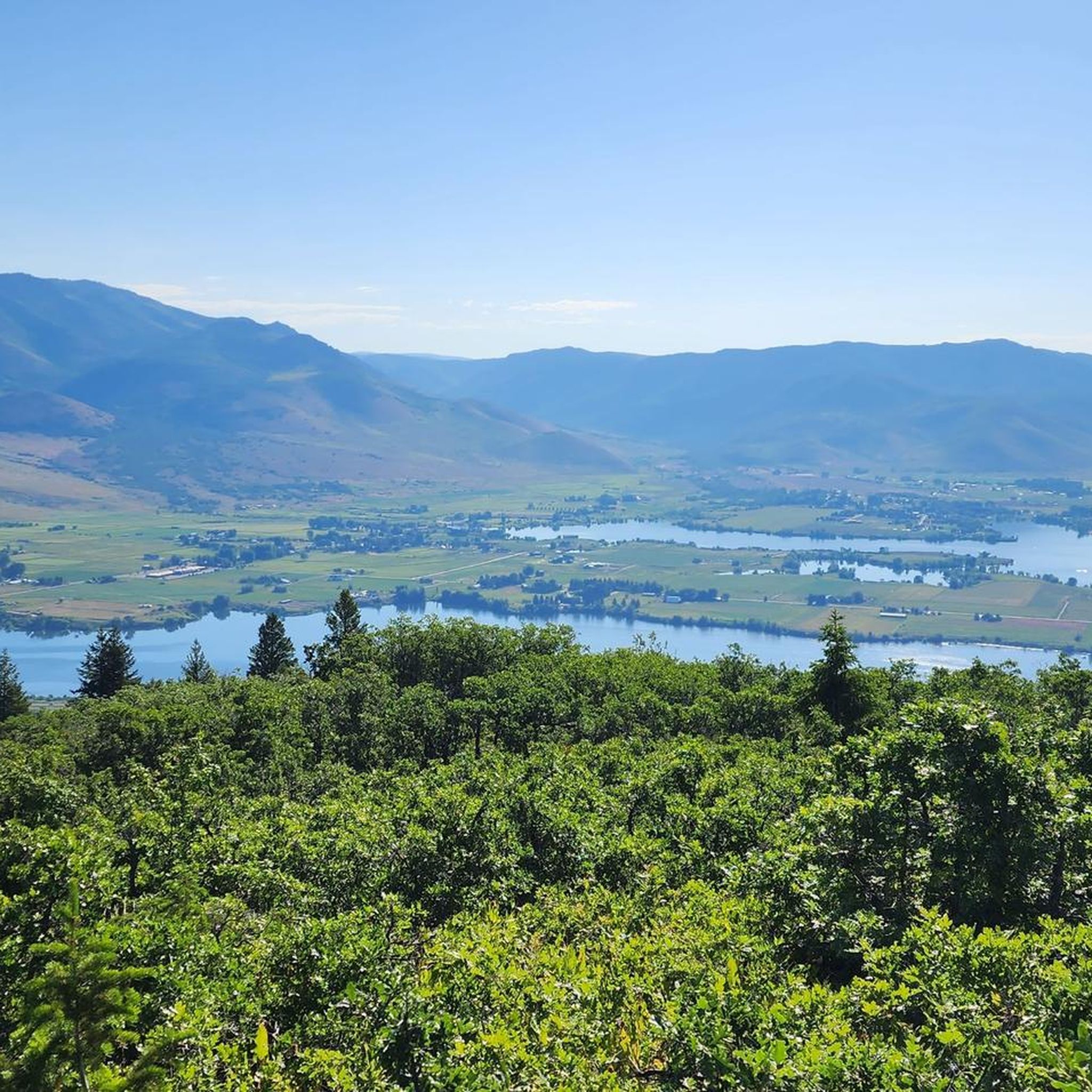
This is a beautiful, two-lane state highway running alongside the western edge of the Pineview Reservoir. Offering absolutely stunning mountain and water views, this portion of the road is designated as part of the Ogden River Scenic Byway. If you are looking for a rather flat road that does not lack in scenery, this is the one for you!
0
0
A lovely stretch of paved, non-motorized pathway around Pineview Reservoir in Uinta-Wasatch-Cache National Forest. The idea behind this project is to create a paved pathway around the full perimeter of the reservoir for pedestrians and cyclists to share.
1
0
Frequently Asked Questions
What kind of terrain can I expect when road cycling around Wolf Creek?
Road cycling around Wolf Creek offers a diverse range of terrain. You'll encounter challenging climbs, especially on the Pagosa Springs side, which can feature gradients over 7% and double switchbacks. The routes also include high-elevation passes, reaching the Continental Divide at 10,850 feet, and descents characterized as 'fun and wide open'. The landscape shifts from lush forests and valleys to more arid sections, providing varied scenery throughout your ride.
Are there any easy road cycling routes suitable for beginners or a relaxed ride?
Yes, Wolf Creek offers options for easier rides. For instance, the Pineview Loop Path is an easy 15.8-mile (25.4 km) route that provides lakeside views and gentle gradients. Another accessible option is the Geertson Bay – Windsurfer Beach loop from Wolf Creek, an 18.8-mile (30.3 km) trail leading through bay areas.
What are some of the most scenic viewpoints or natural attractions along the road cycling routes?
The Wolf Creek area is rich with natural beauty. You can experience panoramic views from the Continental Divide at the summit of Wolf Creek Pass. Notable overlooks include the West Fork Valley Overlook, offering impressive views of Treasure Falls and the valley, and Lobo Overlook at 11,760 feet, providing commanding views of the Continental Divide and the San Juan Mountains. While cycling, you might also spot small alpine lakes like Alberta Reservoir, Big Meadows Reservoir, and Tucker Ponds near the Wolf Creek Ski Area.
Are there any waterfalls accessible or visible from the road cycling routes?
Yes, Treasure Falls is a beautiful waterfall located approximately 12 miles east of Pagosa Springs. It's a popular stop and is accessible via a short, well-maintained hiking path, making it a great point of interest during your road cycling trip.
What is the road quality like for cycling on Wolf Creek Pass?
The highway through Wolf Creek Pass generally features excellent road conditions. For much of the climb, there is a dedicated shoulder, which enhances safety for cyclists. While traffic can be mild to moderate and may include large vehicles, the presence of this shoulder helps mitigate potential concerns.
Are there any family-friendly paved bike trails in the Wolf Creek area?
For families looking for paved bike trails, the Pineview Loop Path is an excellent choice. It's an easy route with gentle gradients, making it suitable for various skill levels. Additionally, the Pineview Loop Pathway loop from Wolf Creek offers another accessible option for a pleasant family ride.
Where can I find parking when planning a road cycling trip to Wolf Creek Pass?
While specific parking locations for road cyclists are not detailed in the guide, general parking is available at trailheads and designated areas around Pagosa Springs and South Fork, which serve as common starting points for rides up Wolf Creek Pass. It's advisable to check local resources or visitor centers in these towns for the most current parking information.
What do other road cyclists enjoy most about cycling in Wolf Creek?
The komoot community frequently praises the challenging yet rewarding climbs and the breathtaking scenery of the Wolf Creek area. Cyclists often highlight the sense of accomplishment from conquering the high-elevation passes and the panoramic views from the Continental Divide. The varied landscapes, from lush forests to expansive valleys, also receive high acclaim.
Are there any loop routes available for road cycling in Wolf Creek?
Yes, there are several loop routes available. The Old Snowbasin Road and Pineview Loop is a popular 32.9-mile (52.9 km) moderate loop. Another option is the East Fork Overlook loop from Huntsville, which is a 28.3-mile (45.5 km) moderate route offering scenic views.
What is the best season for road biking around Wolf Creek Pass?
The best season for road biking around Wolf Creek Pass is typically late spring through early fall (roughly May to October), when the pass is clear of snow and weather conditions are most favorable. Summer offers warmer temperatures, but spring and fall can provide cooler rides and stunning foliage. Always check local weather forecasts and road conditions before heading out, as high-altitude weather can change rapidly.
Are there any specific permits required for road cycling in the Wolf Creek Pass area?
Generally, no specific permits are required for road cycling on public highways like Wolf Creek Pass. However, if your route involves venturing into specific areas of the San Juan National Forest or Colorado State Parks off the main roads, it's always best to check with the respective authorities for any potential permit requirements or regulations.
What kind of wildlife might I encounter while cycling in the Wolf Creek area?
The Wolf Creek area is home to diverse wildlife. While cycling, you might occasionally spot Rocky Mountain sheep on rock formations. Larger animals like mountain lions and bears are present in the region, though they are rarely seen. Always maintain a respectful distance from any wildlife you encounter.
Most popular routes around Wolf Creek
Most popular attractions around Wolf Creek

Get inspired with the komoot mobile app


Explore more
Browse the best Road cycling routes in other regions.
