Top 16 Mountain Passes around Strengen
Best mountain passes around Strengen are characterized by high-alpine saddles and challenging routes within the Lechtal and Verwall Alps. Strengen, a village at 1,029 meters above sea level, serves as an entry point to these demanding mountain crossings. These routes offer extensive hiking and mountaineering experiences, providing access to rugged landscapes and elevated viewpoints. The area is known for its untouched natural beauty and remote wilderness.
Best mountain passes around Strengen
- The most popular mountain pass is Seescharte (2,599 m)…
Last updated: June 26, 2026
Kaiserjochhaus
Highlight • Mountain Hut
Translated by Google •
Tip by

Seescharte (2,599 m)
Highlight • Mountain Pass
Translated by Google •
Tip by

Sign up now to discover places like this
Get recommendations on the best single tracks, peaks, & plenty of other exciting outdoor places.
Sign up for free
Schmalzgrubenscharte
Highlight • Mountain Pass
Translated by Google •
Tip by

Trail Between Scheidbahn and Arrezjoch
Highlight (Segment) • Trail
Fine-rolled driveway at 3km
Translated by Google •
Tip by

Flarschjoch Pass (2,464 m)
Highlight • Mountain Pass
Translated by Google •
Tip by

Sign up for free to discover even more mountain passes around Strengen.
Sign up for free
Already have an account?
Start today with a free account
Your next adventure awaits.
Login or Signup
Popular around Strengen
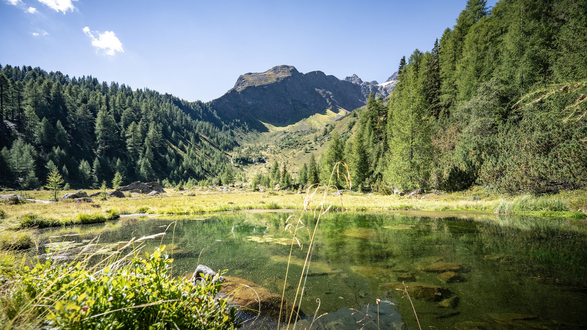
Wild water, light blue – mountain lake Tours in St. Anton am Arlberg
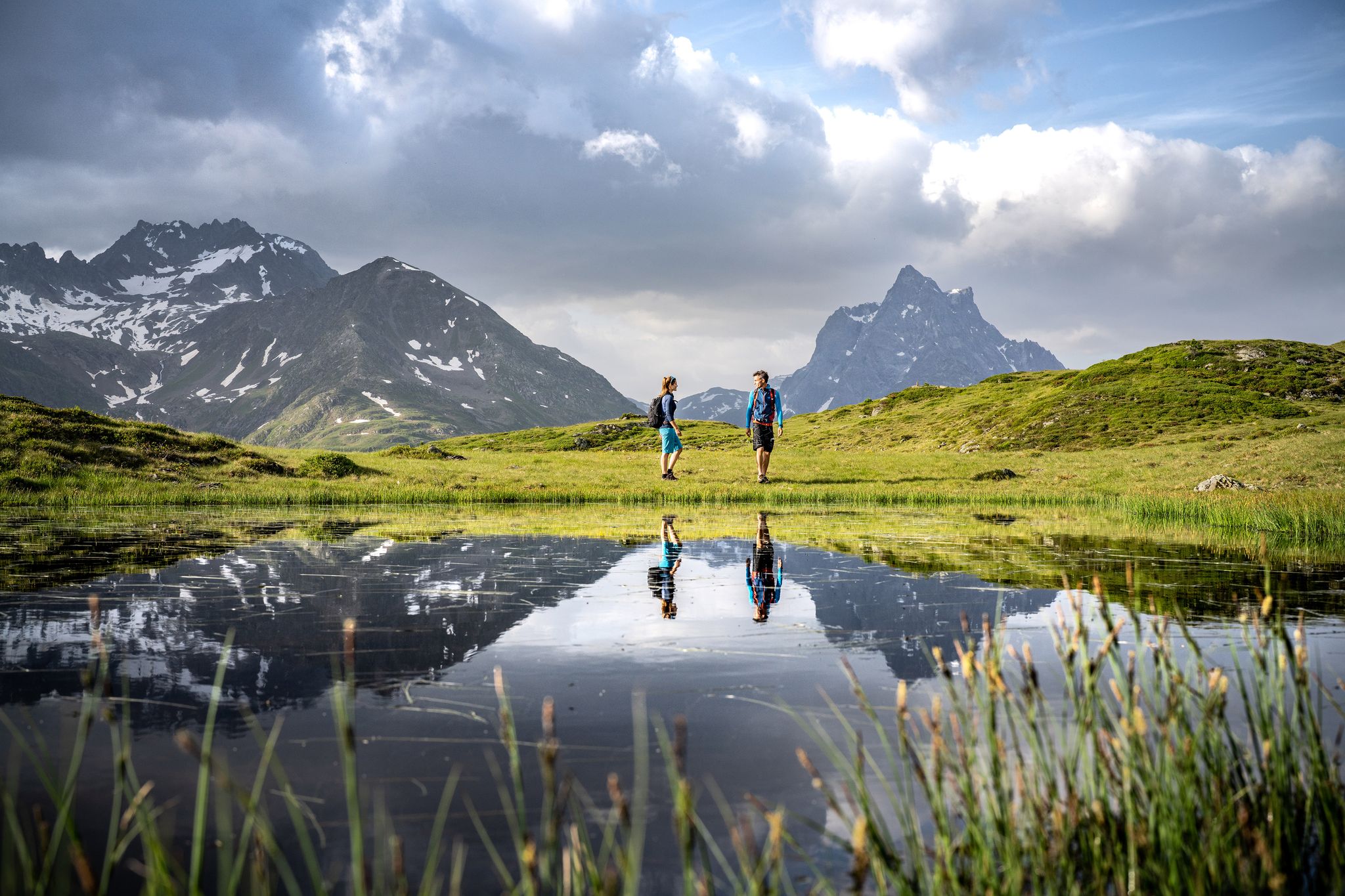
Enjoy the beauty around St. Anton am Arlberg - 12 day hikes
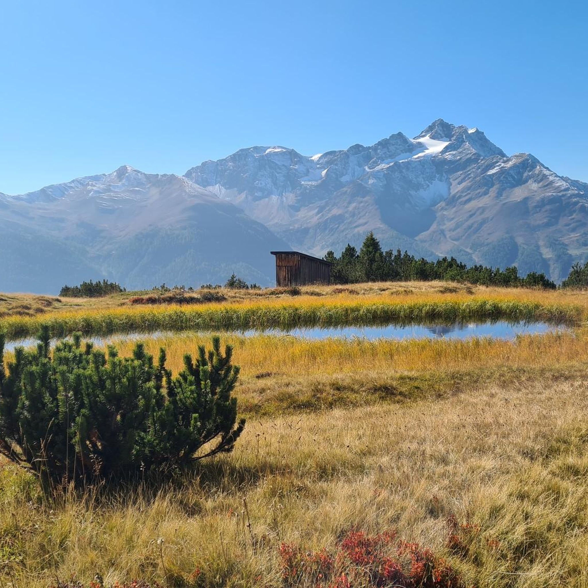
Running Trails around Strengen
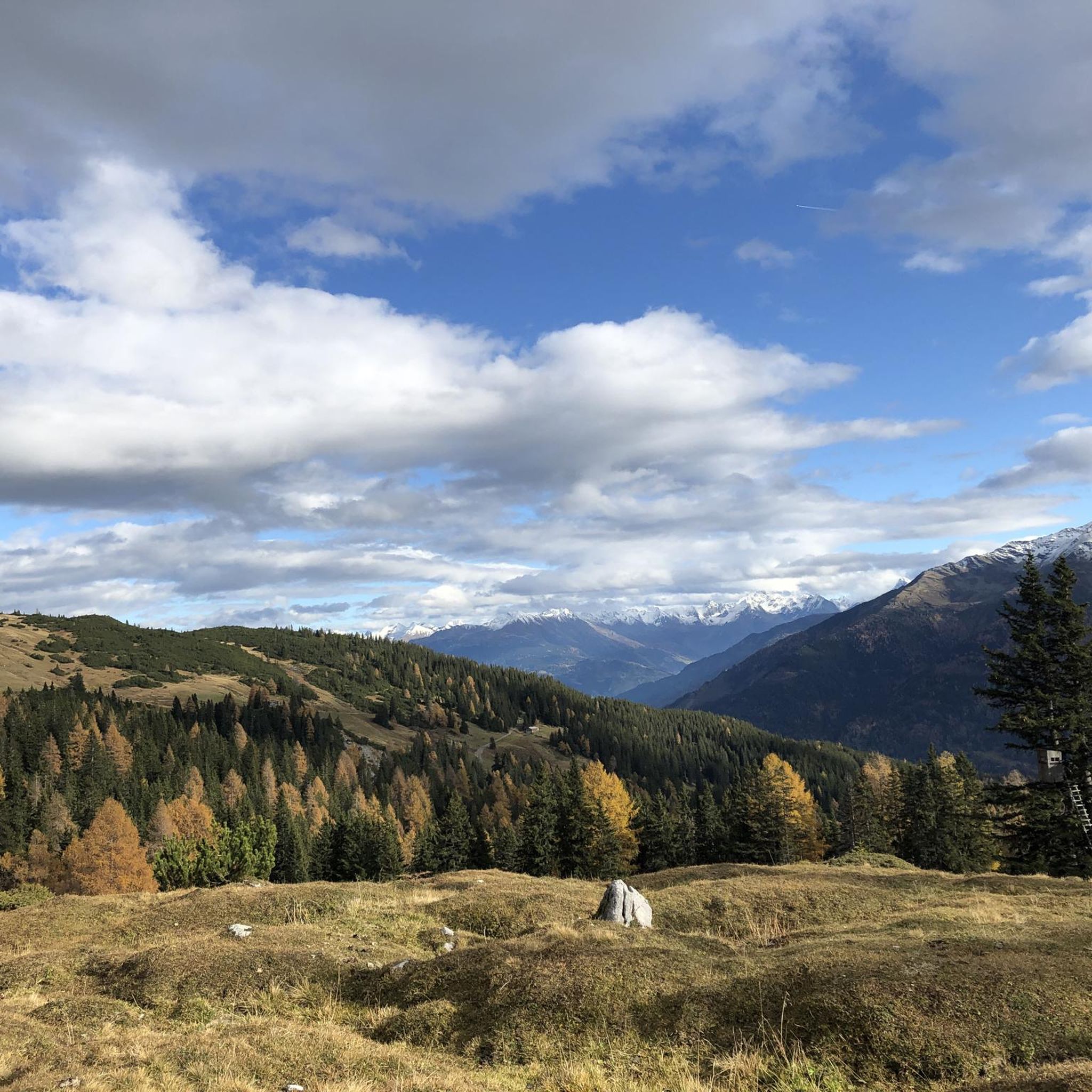
Road Cycling Routes around Strengen
Cycling around Strengen
MTB Trails around Strengen

Mountain Hikes around Strengen
Hiking around Strengen

Gravel biking around Strengen

Tips from the Community

The hut is maintained by the German Alpine Club (DAV) Leutkirch section, as is the nearby Leutkircher Hut. Given increasing hygiene and environmental requirements, which normally require significant investments, this is a great honor.
0
0

Descent to the Schnanner Klamm from here is not recommended, as the alternative path has also been washed away
0
0


The Kaiserjochhaus (2,310 m) is located directly on the main ridge of the Lechtal Alps in the Northern Limestone Alps. Located between Kaisers in the Lechtal and Pettneu in the Stanzertal on the Arlberg, on the meadows of the Kaiserjoch, it offers an impressive panorama with peaks such as the Grieskopf or the Malatschkopf. The diverse types of rock and the varied flora and fauna make the Kaiserjochhaus in Tyrol particularly attractive for nature lovers, connoisseurs and explorers.
3
0

The Schmalzgrubenscharte, located at an altitude of 2,697 m, is a pass from the Stanzer Valley to the Paznaun. It can be reached from the Edmund-Graf-Hütte or from the Diasbahn. The view is phenomenal.
1
0
The Kaiserjochhaus is located at an altitude of 2,310 meters on the Kaiserjoch, a pass between the Lechtal and Stanzer Tal in the Lechtal Alps. The hut is very cozy, there is a warming tiled stove in the middle of the dining room. The food is very tasty. 😋
9
1
The Kaiserjochhaus is located at an altitude of 2,310 m on the Kaiserjoch, a pass between the Lechtal and Stanzer Tal in the Lechtal Alps. The hut is very cozy, there is a warming tiled stove in the middle of the dining room. The food is very tasty. 😋
8
0

Frequently Asked Questions
Where is Strengen located and what kind of mountain passes can I expect?
Strengen is a charming village nestled at 1,029 meters above sea level at the entrance of the Stanzer Valley in Austria. The area is characterized by challenging high-alpine "scharte" (saddles or notches) rather than traditional road-accessible mountain passes. These form part of extensive hiking and mountaineering routes in the surrounding Lechtal and Verwall Alps, offering breathtaking panoramic views and a true wilderness experience.
How challenging are the mountain passes around Strengen?
The mountain passes and high-alpine crossings near Strengen are generally demanding, requiring very good fitness, sure-footedness, sturdy shoes, and alpine experience. Routes like those involving the Patrolscharte, Spinnscharte, Dawinscharte, and Parseierscharte (part of the Augsburger Höhenweg) are categorized as hard. They often involve steep climbs, secured sections, and crossings of scree fields and glacial remnants.
What natural features and viewpoints can I find on these passes?
The high-alpine areas around Strengen boast untouched natural beauty, with rugged peaks, pristine lakes, and diverse flora and fauna. You'll find expansive, breathtaking panoramic views of the surrounding mountain ranges, including the Lechtal Alps and Verwall Group. For instance, the Seescharte (2,599 m) offers a great view of the lake and wildlife, while Schmalzgrubenscharte features impressive rock formations and magnificent views of the valleys.
Are there popular hiking trails that include these mountain passes?
Yes, many of the mountain passes are integral parts of popular and challenging hiking and mountaineering routes. For example, the Patrolscharte is featured in demanding mountaineering routes like the "Augsburger Hut – Patrolscharte loop from Grins." The Dawinscharte and Parseierscharte are prominent features along the highly recommended and difficult Augsburger Höhenweg. You can find more hiking options in the Hiking around Strengen guide.
What is the best time of year to visit the mountain passes near Strengen?
The high-alpine nature of these passes means they are best visited during the warmer months, typically from late spring to early autumn (June to September), when snow has largely melted and weather conditions are more stable. Always check current weather forecasts and trail conditions before heading out, as conditions can change rapidly in the mountains.
Are there any mountain huts or accommodations on these passes?
Yes, many of these routes connect to traditional alpine huts, offering a chance for rest, refreshments, and an authentic alpine experience. A notable example is the Kaiserjochhaus, located at 2,310 meters on the Kaiserjoch, which is known for its cozy atmosphere and tasty food. Other huts like the Augsburger Hut and Memminger Hut are also part of the network in the region.
What do visitors enjoy most about the mountain passes around Strengen?
Visitors highly appreciate the untouched alpine landscape, the sense of remote wilderness, and the significant challenge these routes provide for experienced hikers and mountaineers. The expansive, breathtaking panoramic views from high elevations are a major draw, as is the sense of accomplishment after traversing difficult sections. The connection to authentic alpine huts also enhances the experience.
Are there any less crowded mountain passes or routes near Strengen?
Given the demanding nature of the high-alpine saddles around Strengen, they generally offer a true sense of wilderness and solitude, far from the crowds often found on more easily accessible passes. Routes involving the Patrolscharte, Spinnscharte, Dawinscharte, and Parseierscharte are known for providing a remote experience.
What other outdoor activities can I do near these mountain passes?
Beyond challenging mountaineering, the Strengen area offers various outdoor activities. You can explore numerous hiking trails, including moderate and difficult options. There are also dedicated running trails and gravel biking routes available. For more details, check out the Hiking around Strengen, Running Trails around Strengen, and Gravel biking around Strengen guides.
Can I bring my dog on trails around Strengen's mountain passes?
While many alpine trails are dog-friendly, the high-alpine and challenging nature of the passes around Strengen means that some sections might be unsuitable or dangerous for dogs, especially those involving steep climbs, scree fields, or secured sections. Always assess the specific trail's difficulty and conditions, and ensure your dog is fit and accustomed to such terrain. Leash requirements and local regulations should also be observed.
Are there any easy mountain walks for beginners near Strengen?
While the prominent mountain passes themselves are generally challenging, Strengen, as a village, offers access to some tranquil high meadow areas. For instance, the Dawinalm and the small lakes above it are popular destinations reachable by foot or e-mountain bike, offering a less strenuous experience compared to the high-alpine saddles. Look for moderate hiking routes in the Hiking around Strengen guide for easier options.
What is the Flarschjoch Pass like?
The Flarschjoch Pass (2,464 m) is a small fissure offering a magnificent view of the two valleys below. It provides a slightly more rustic landscape compared to lower elevations, making it an appealing spot for those seeking a change of scenery and impressive vistas.
Most popular routes around Strengen
Most popular attractions around Strengen

Get inspired with the komoot mobile app


Explore more
See even more epic mountain passes by checking out these guides around Strengen:
