The best road cycling routes around Caesars Head
44
riders
3
rides
If you've ever tried to plan road cycling around Caesars Head, you know how quickly the sheer number of routes can feel overwhelming. It's tough to tell which ones are genuinely worth the effort, and which are just filler. That's where we come in. Our komoot community has mapped, ridden, and reviewed these roads, so we've done the legwork to bring you a trusted shortlist of the routes truly worth your legs, saving you the guesswork.
Road cycling around Caesars…
Last updated: June 5, 2026
15
riders
49.4km
02:45
1,060m
1,060m
Hard road ride. Very good fitness required. Mostly well-paved surfaces and easy to ride.
21
riders
58.9km
02:45
720m
720m
Moderate road ride. Good fitness required. Mostly well-paved surfaces and easy to ride.

9
riders
107km
05:35
1,700m
1,700m
Hard road ride. Very good fitness required. Some segments of this route may be unpaved and difficult to ride.
2
riders
118km
06:51
1,570m
1,570m
Hard road ride. Very good fitness required. Some segments of this route may be unpaved and difficult to ride.
Our route recommendations are based on thousands of hikes, rides, and runs completed by other people on komoot.
Start today with a free account
Your next adventure awaits.
Popular around Caesars Head

Tips from the Community

The views from this quiet winding road are lovely with the wooded hills in the background. Keep your eye out for the interesting bird species that live in the surrounding woods.
0
0

Grant Meadow Overlook is a scenic pull-off along the Cherokee Foothills Scenic Highway in Pickens, South Carolina. This is a great place to stop on your ride to sip some water and snap some photos of the fantastics views of Table Rock over the open meadow.
0
0
Timmons Pond is a small pond just off of Pumpkintown Road in Slater-Marietta, South Carolina, on the border of North and South Carolina. This is a nice spot to keep an eye out for birds and other wildlife as you ride by.
0
0

For those who enjoy the thrill of off-the-beaten-path exploration, reaching Mashbox Falls is a truly rewarding experience. The secluded beauty and serene atmosphere make it a hidden gem worth discovering.
0
0

Jones Gap is a mountain pass on the South and North Carolina border. At an elevation of 2,929ft (893m) it gives you a good elevation gain hit just to get here and on the way it has a maximum gradient of 11%. The pass road is 16.4 miles (26.39km) long, running from Cedar Mountain towards Cleveland. You are in for a pretty great ride!
0
0

The climb takes you up to the highest point in South Carolina, Sassafras Mountain. There are a few 20% plus sections to really test your legs, but the forested road and the view at the top are worth it.
0
0
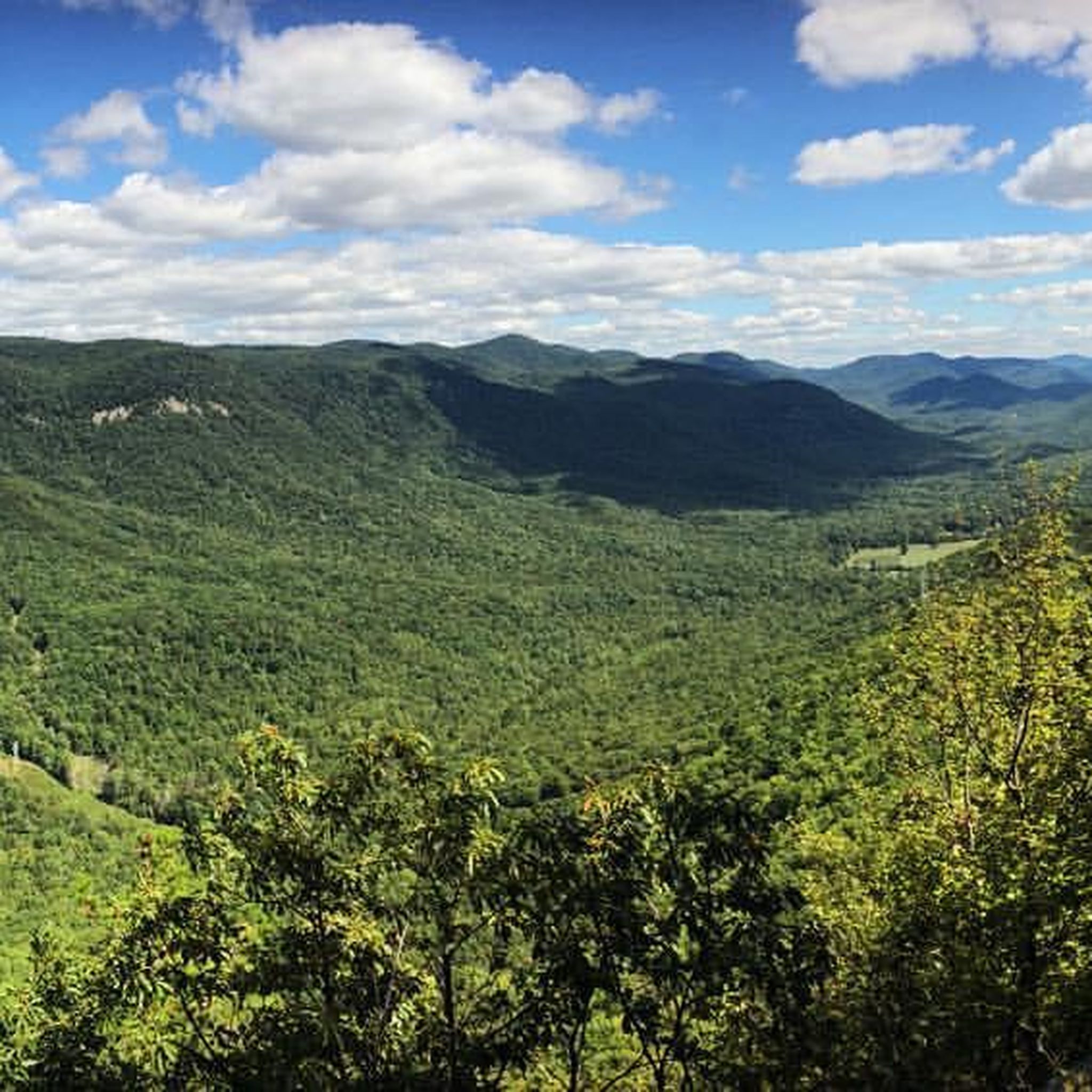
The viewing platform at the top of Sassafras Mountain is the perfect reward for all that climbing. On the border of North and South Carolina, the views are breathtaking.
0
0

Frequently Asked Questions
What is the typical terrain and difficulty level for road cycling routes around Caesars Head?
Road cycling routes around Caesars Head are known for their challenging terrain, featuring significant elevation changes and demanding climbs. You can expect routes with an average grade of about 5.9% and elevation gains often exceeding 2,000 feet. The climbs frequently wind through dense woodlands, and while the pavement is generally good, some sections can be quite steep, surpassing 8%.
What scenic viewpoints or natural features can I expect to see while road cycling in the Caesars Head area?
The Caesars Head area offers spectacular panoramic views from the Blue Ridge Escarpment, stretching into North Carolina and Georgia. Notable features include the dramatic granitic gneiss outcropping at Caesars Head State Park and the expansive vistas from Sassafras Mountain, the highest point in South Carolina. You might also encounter the dramatic 420-foot Raven Cliff Falls, the tallest waterfall in South Carolina, visible from an overlook.
Are there any road cycling routes that offer views of specific landmarks or attractions?
Yes, several routes provide access to stunning landmarks. For instance, the Sassafras Mountain Climb – Sassafras Mountain Viewpoint loop from Caesars Head State Park offers panoramic views from Sassafras Mountain. Additionally, the region is home to other natural attractions like Bridal Veil Falls and Hooker Falls, which are part of the broader natural landscape.
What is the best time of year to go road cycling in Caesars Head?
The early spring and fall are particularly popular for road cycling in Caesars Head. Professional cyclists and junior development teams often train here in early spring. The fall season offers picturesque scenery as the dense woodlands display vibrant autumn colors. From September through November, the area also hosts its renowned 'Hawk Watch' program, offering a unique viewing opportunity.
Are there any family-friendly or beginner-level road cycling routes in Caesars Head?
The road cycling routes around Caesars Head are primarily defined by challenging climbs and significant elevation changes, catering mostly to advanced ability levels. The routes listed in this guide, such as the Grant Meadow Overlook – Bald Rock loop from The Stool, are rated as 'difficult' due to their demanding nature. Therefore, options suitable for beginners or young families on road bikes are limited in this specific area.
Where can cyclists park when visiting Caesars Head for road cycling?
Caesars Head State Park is a common starting point for many routes, and parking facilities are available there. For routes like the Sassafras Mountain Climb – Sassafras Mountain Viewpoint loop, starting from Caesars Head State Park is convenient. Other routes may originate from areas like 'The Stool' or 'Big Rock', which also offer parking options for cyclists.
Are there any circular road cycling routes available in the Caesars Head area?
Yes, many of the road cycling routes around Caesars Head are designed as loops, allowing you to start and end at the same point. Examples include the Grant Meadow Overlook – Bald Rock loop from The Stool, which covers 30.4 miles, and the longer View from Sassafras Mountain – Lake Oolenoy loop from Big Rock, spanning 71.6 miles.
What kind of wildlife might I encounter while cycling in the Mountain Bridge Wilderness Area?
The Mountain Bridge Wilderness Area, which includes Caesars Head, is a protected habitat for diverse wildlife. Cyclists might spot black bears, peregrine falcons, and various rare flora such as the mountain sweet pitcher plant. The area's dense woodlands and natural features provide a rich environment for these species.
Are there any cafes or places to refuel near the road cycling routes?
While the immediate vicinity of the most challenging climbs through dense woodlands may have limited options, there are cafes and small towns within a reasonable distance from the Caesars Head area where cyclists can refuel. It's advisable to plan your route and carry sufficient hydration and nutrition, especially for longer rides like the Timmons Pond – Caesars Head Mountain loop from Wildcat Wayside.
Do I need any special permits to cycle in the Caesars Head area?
Generally, no special cycling permits are required for road cycling on public roads in the Caesars Head area. However, if your route takes you through specific state parks or private lands, it's always best to check their individual regulations regarding entry fees or usage. For information on Caesars Head State Park, you can visit visitgreenvillesc.com.
What do other road cyclists enjoy most about road cycling in Caesars Head?
Road cyclists frequently praise the challenging climbs and the rewarding panoramic views from the Blue Ridge Escarpment. The opportunity to tackle significant elevation gains, often exceeding 3,000 feet on longer routes, is a major draw. Many appreciate the natural beauty of the dense woodlands, especially during the fall, and the sense of accomplishment after conquering the demanding ascents.
Most popular routes around Caesars Head
Most popular attractions around Caesars Head

Get inspired with the komoot mobile app


Explore more
Browse the best Road cycling routes in other regions.
