The best road cycling routes around Cedar Hills
4.4
(57)
3,132
riders
208
rides
Road cycling around Cedar Hills offers a diverse landscape characterized by rolling hills and varied terrain, typical of the Pacific Northwest. The area features routes that traverse urban fringes, river valleys, and more elevated sections, providing a mix of gradients for different cycling preferences. This region's topography includes significant elevation changes, making for engaging road cycling experiences.
Best road cycling routes around Cedar Hills
- The most popular road cycling route is St. Johns Bridge – View of Saint Johns Bridge…
Last updated: July 2, 2026
5.0
(1)
56
riders
Moderate road ride. Good fitness required. Mostly well-paved surfaces and easy to ride.
5.0
(1)
18
riders
Moderate road ride. Good fitness required. Mostly well-paved surfaces and easy to ride.

Sign up for free
17
riders
47.6km
02:06
290m
290m
Moderate road ride. Good fitness required. Mostly well-paved surfaces and easy to ride.
14
riders
35.1km
02:05
610m
610m
Moderate road ride. Good fitness required. Mostly well-paved surfaces and easy to ride.
9
riders
Easy road ride. Great for any fitness level. Mostly well-paved surfaces and easy to ride.
Get access to more routes and recommendations from other explorers.
Sign up for free
Already have an account?
Our route recommendations are based on thousands of hikes, rides, and runs completed by other people on komoot.
Start today with a free account
Your next adventure awaits.
Login or Signup



Tips from the Community

There isn't a place to lock up your bike. Go on a nice day and sit outside.
0
0

Henry Hagg Lake is surrounded by 2,500-acre Scoggins Valley Park, which has more than 14 miles of multi-use trails. But you might enjoy riding the road that wraps around the lake, swooping in and out of the trees as you play peekaboo with views of the water.
0
0
This recreation area just off the road has restrooms, potable water, picnic facilities, and a bike repair hub that includes basic tools, a workstation and a charger for small electronics. There's also a fishing pier, and you may see people using the boat ramp to launch motorized watercraft.
0
0
This little beach is a great spot to park your bike and enjoy a picnic. You'll find picnic tables, restrooms, loaner personal flotation devices, and a "bike hub" with basic tools and workstation for on-the-go maintenance needs.
0
0

Cedar Mill Falls is a lovely waterfall that can be easily accessed through a wooden platform from Northwest Cornell Road. The falls are very picturesque and it can be a nice place to stop by while cycling. The platform system is very short but it does have stairs, so you might need to walk with the bike in small sections.
0
0
This heavily wooded nature preserve is part of a much larger greenbelt complex. Keep an eye out for large wildlife like deer as you pedal past, and an ear out for evidence of songbirds; both thrive in this habitat.
0
0

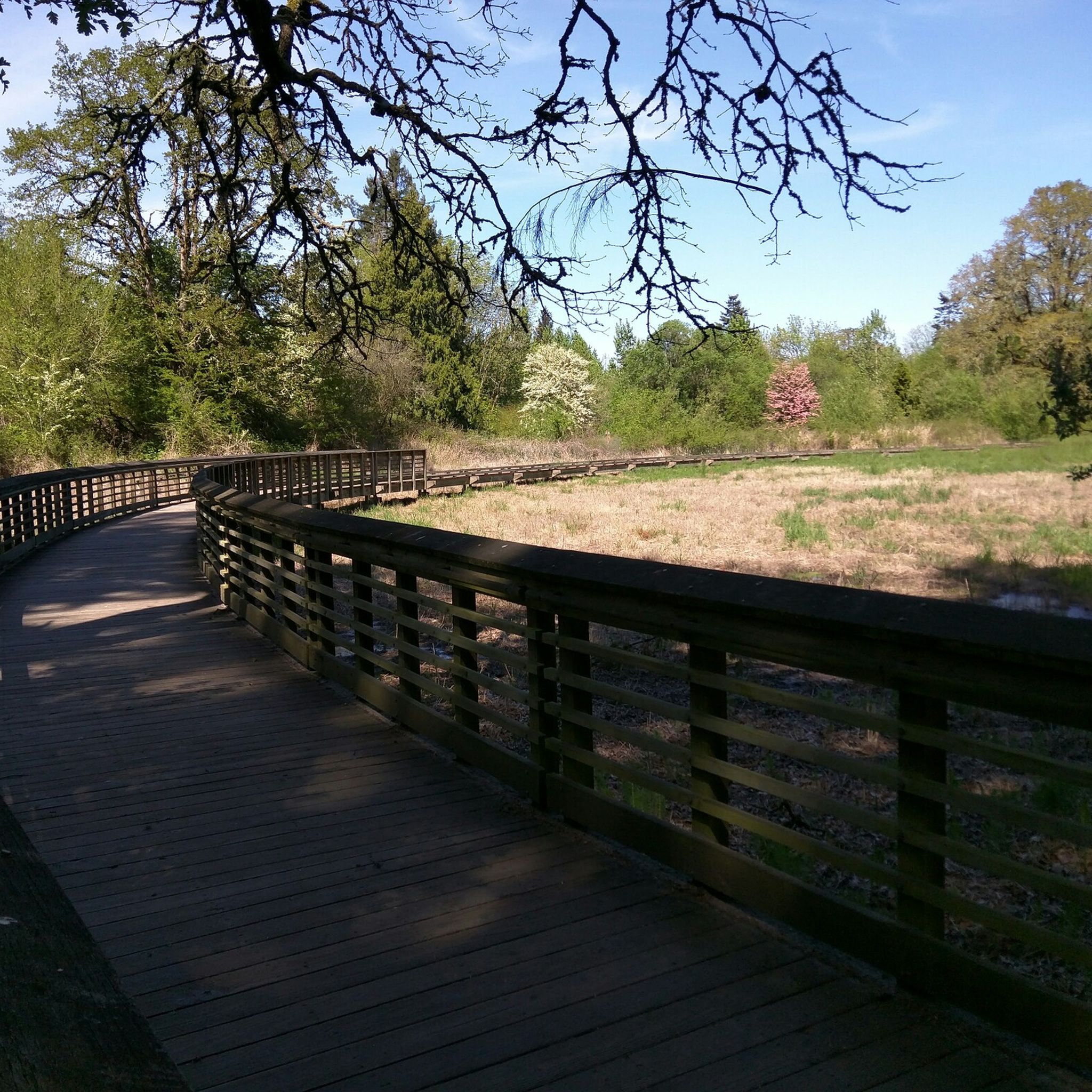
Adams Wetlands Natural Area is a small sliver of protected wetlands adjacent to Adams Acres Park, which is next to Lenox Elementary School.
0
0

You gain a lovely view of this farm barn whilst cycling around the bend here. If you're lucky you might see some farm animals such as llamas and chickens!
0
0
Frequently Asked Questions
How many road cycling routes are available around Cedar Hills?
There are over 200 road cycling routes around Cedar Hills, offering a diverse range of experiences. These include 51 easy routes, 119 moderate routes, and 33 difficult routes, catering to various skill levels.
What kind of terrain can I expect when road cycling in Cedar Hills?
Road cycling in Cedar Hills is characterized by rolling hills and varied terrain, typical of the Pacific Northwest. You'll find routes that traverse urban fringes, river valleys, and elevated sections, providing a mix of gradients and significant elevation changes for engaging rides.
What do other road cyclists enjoy most about the routes in Cedar Hills?
The road cycling routes in Cedar Hills are highly rated by the komoot community, with an average score of 4.4 stars from over 58 reviews. Cyclists often praise the diverse landscapes, the engaging elevation changes, and the variety of routes available for different skill levels.
Are there any challenging road cycling routes for experienced riders?
Yes, Cedar Hills offers several challenging routes. For instance, the St. Johns Bridge – View of Saint Johns Bridge loop from Sunset Transit Center is a difficult 56.7-mile trail with substantial elevation gain, perfect for experienced cyclists seeking a demanding ride.
Are there any moderate-difficulty loop routes suitable for a good workout?
Absolutely. The Northwest Rock Creek Road – View of Cornelius Pass loop from Sunset Transit Center is a popular moderate 32.4-mile route that includes significant climbs through varied terrain, typically completed in about 2 hours 37 minutes.
What are some scenic points or landmarks I can see along the road cycling routes?
Many routes offer scenic views and pass by interesting landmarks. You might encounter natural features like Hoyt Arboretum or Tualatin Hills Nature Park. Urban routes can lead you past sights such as Pioneer Courthouse Square or the iconic Tilikum Crossing.
Are there any routes that offer panoramic views?
Yes, for panoramic views, consider routes that ascend to higher elevations. The Council Crest loop from Sunset Transit Center, for example, leads through hilly urban and natural landscapes, offering great vantage points, including the Council Crest viewpoint itself.
Can I find longer road cycling routes for endurance training?
For longer endurance rides, the Jenkins Estate – Tualatin Valley Scenic Bikeway loop from Millikan Way is an excellent option. This moderate route spans over 67 miles (109 km) and offers a substantial distance for extended cycling sessions.
Are there any routes that explore river valleys or islands?
Yes, the Sauvie Island Bridge loop from Sunset Transit Center is a moderate 41.4-mile (66.7 km) route that takes you towards Sauvie Island, offering a different landscape experience with river views.
What kind of natural features can I expect to see on the trails?
The Cedar Hills area is rich in natural beauty. You can explore places like Hoyt Arboretum with its diverse tree collections, or the tranquil Tualatin Hills Nature Park. Some routes might even pass by unique natural monuments like Portland Heritage Tree #134 or Munger Creek Old-Growth Douglas-Firs.
Most popular attractions around Cedar Hills

Get inspired with the komoot mobile app


Explore more
Browse the best Road cycling routes in other regions.
