The best road cycling routes around Akron
4.5
(2)
420
riders
18
rides
Road cycling routes around Akron offer diverse landscapes and well-maintained trail systems across Summit County. The region features the Ohio & Erie Canalway Towpath Trail, known for its relatively flat gradient and mixed paved and crushed limestone surfaces. Cyclists can also explore the Summit Metro Parks, which include paved rails-to-trails conversions like the Bike & Hike Trail. The area encompasses lush forests, rolling hills, and the Cuyahoga River, particularly within the Cuyahoga Valley National Park.
Best road cycling routes around…
Last updated: July 7, 2026
13
riders
83.3km
03:41
550m
550m
The Peninsula/Kent loop is a popular 51.7-mile road cycling route in Cuyahoga Valley National Park, rated moderate with 1801 feet of gain.
9
riders
40.6km
02:33
250m
250m
The Freedom Trail and Bike & Hike Trail Loop is a 25.2-mile moderate road cycling route in Summit Metro Parks, offering diverse scenery.

Sign up for free
48.2km
02:04
370m
370m
This moderate 30.0 miles (48.2 km) road cycling loop in Cuyahoga Valley National Park offers scenic views and historic trails.
26
riders
32.0km
01:21
170m
170m
Moderate road ride. Great for any fitness level. Some segments of this route may be unpaved and difficult to ride.
25
riders
80.9km
04:17
570m
570m
Moderate road ride. Good fitness required. Some segments of this route may be unpaved and difficult to ride.
Get access to more routes and recommendations from other explorers.
Sign up for free
Already have an account?
Our route recommendations are based on thousands of hikes, rides, and runs completed by other people on komoot.
Start today with a free account
Your next adventure awaits.
Login or Signup
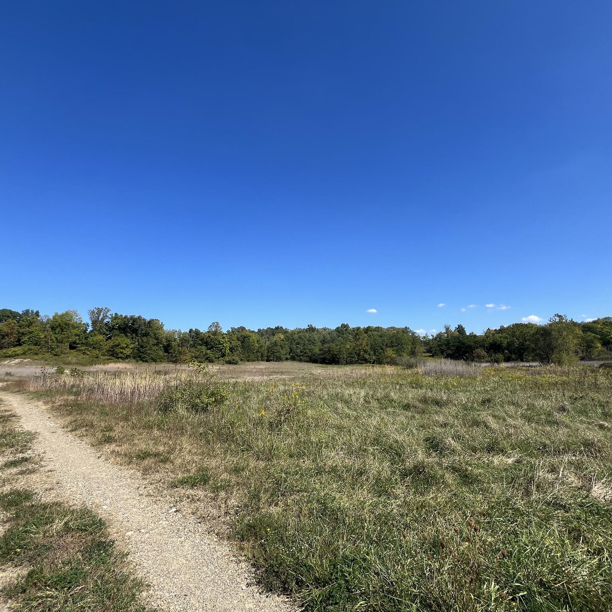
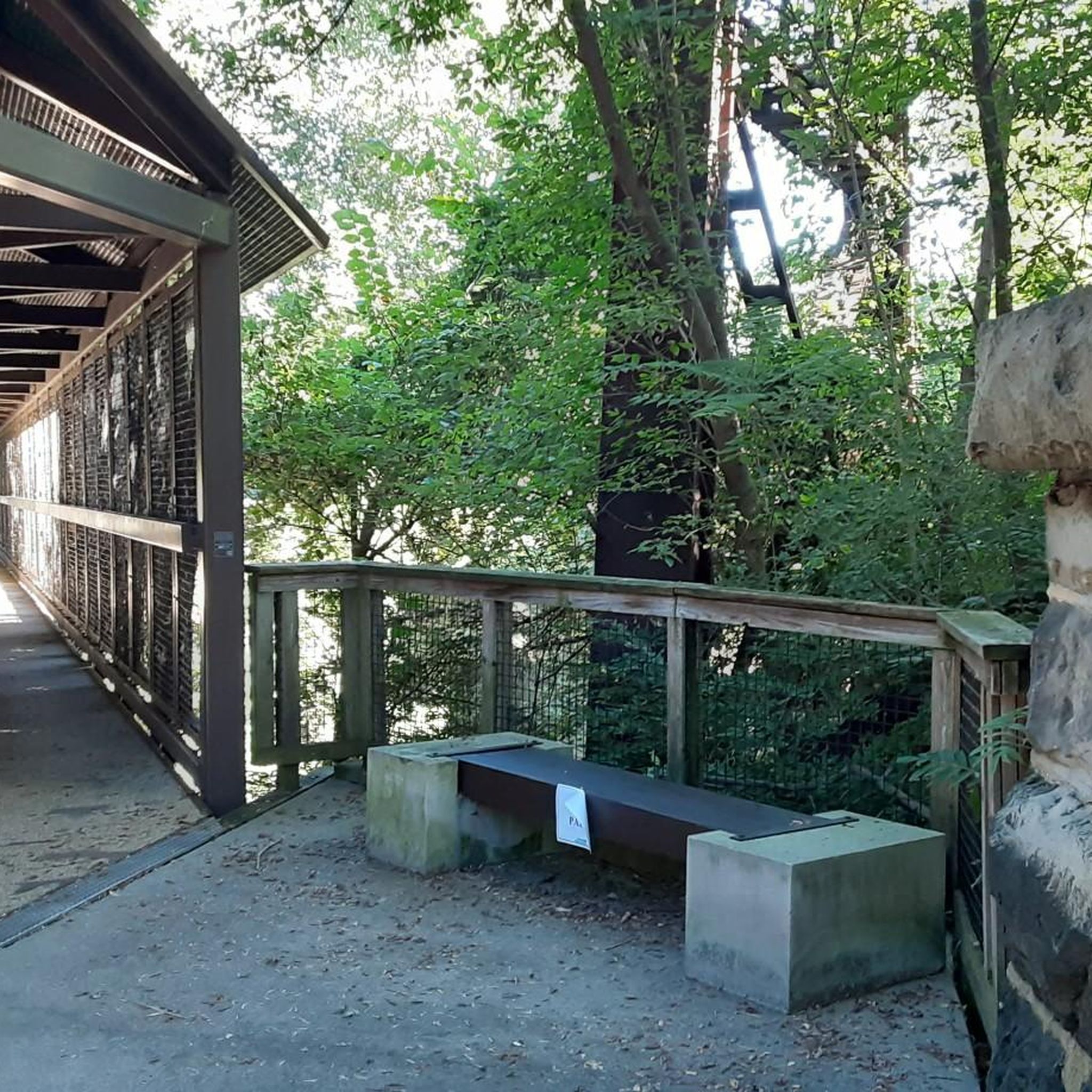
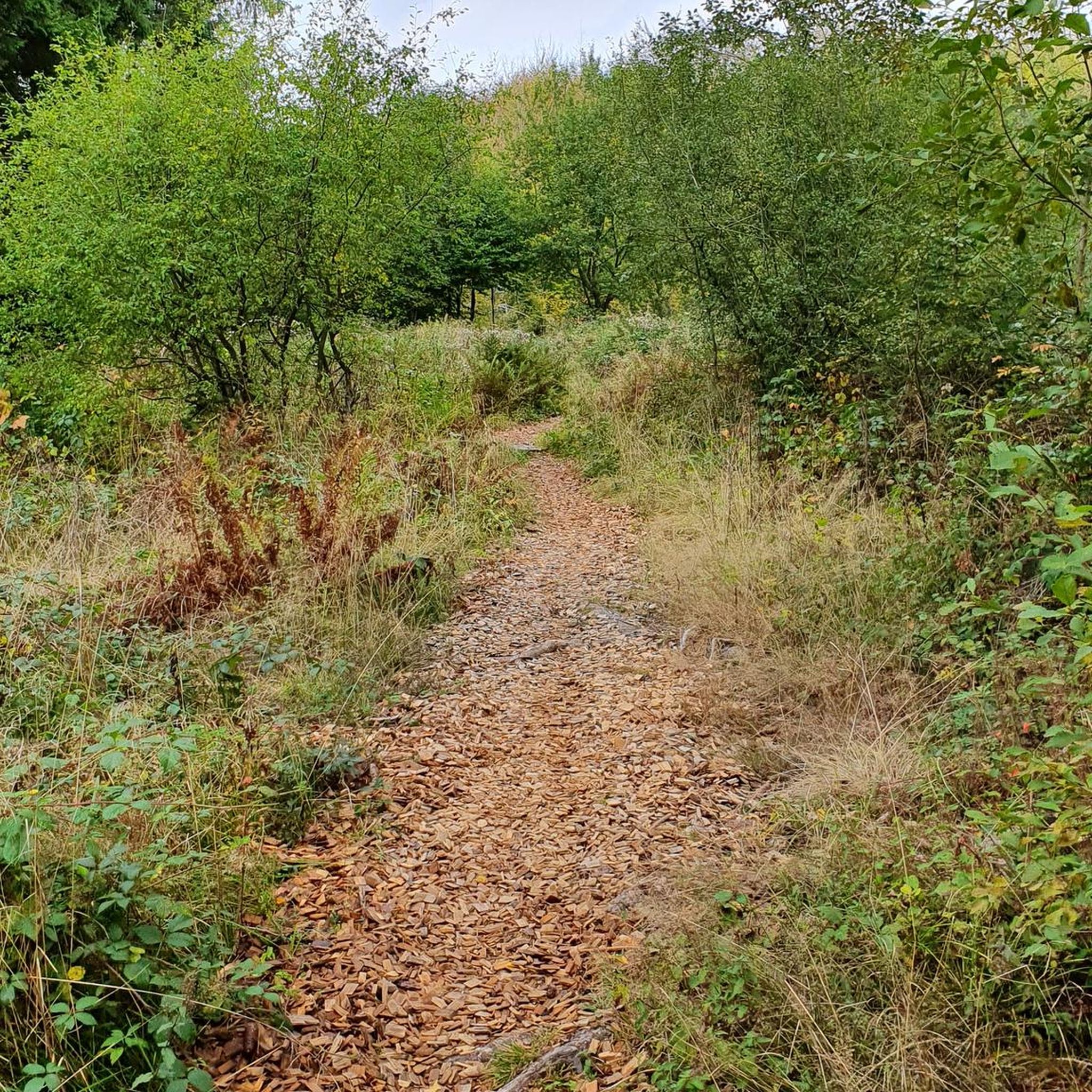


Tips from the Community

Good alternative parking spot for the towpath if Peninsula lots are full
0
0
nice little farmers market. They do not accept cash, but there is an ATM on sight. Store sits right next to towpath trail
0
0

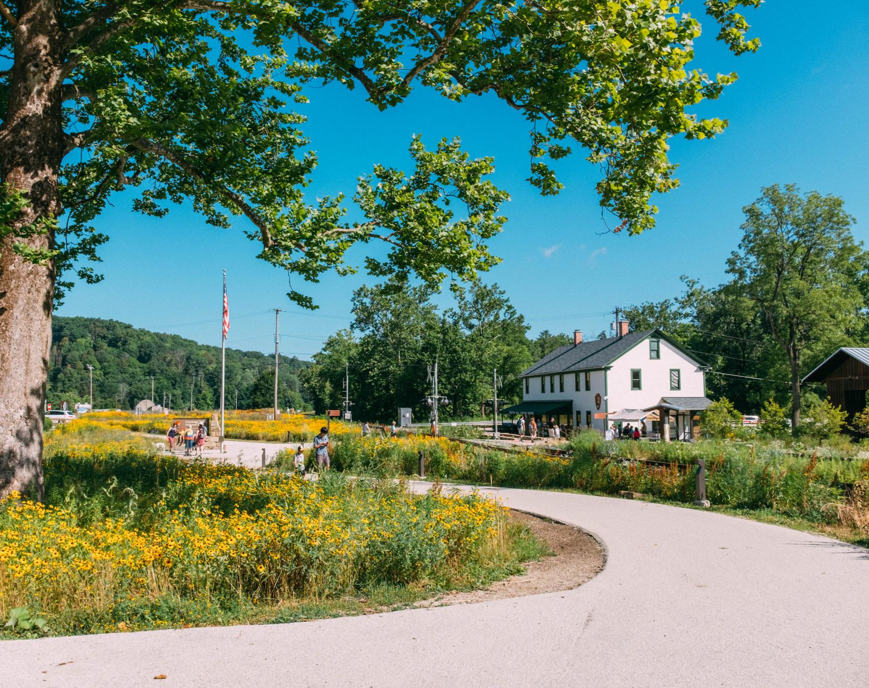
Cuyahoga Valley National Park sits between the cities of Cleveland and Akron along the Cuyahoga River. The park consists of 33,000 acres of deep forests, waterfalls, rolling hills, and farmland.
0
0

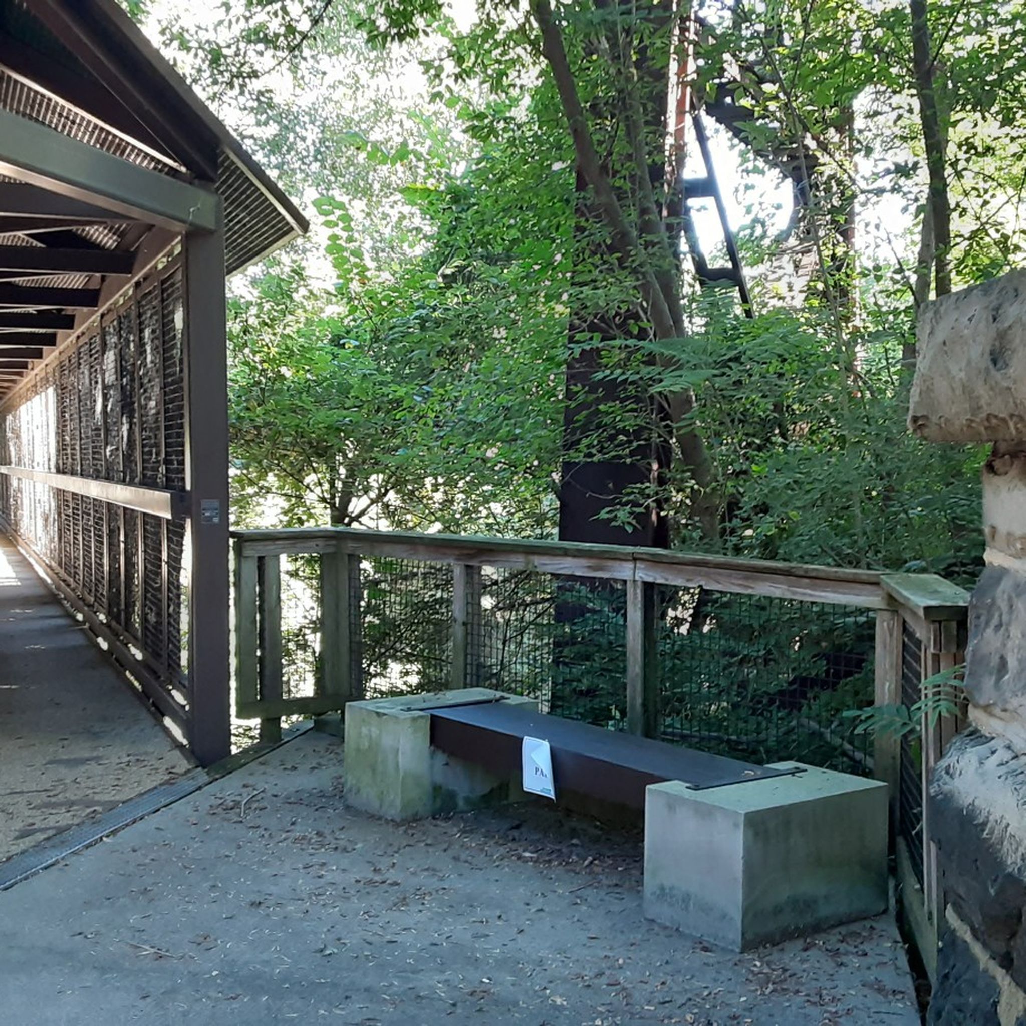
At this spot on the Ohio & Erie Canal Townpath Trail, you pass under I-80. You get a truly unique view of the underside of the highway and of the Cuyahoga River.
0
0

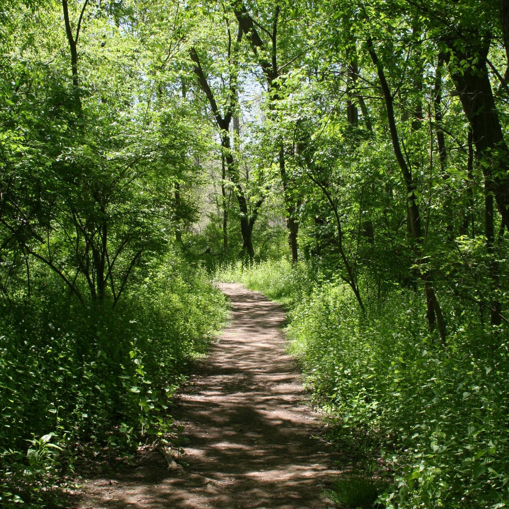
The Ohio & Erie Canal Towpath Trail, spanning over 90 miles as of 2022, is set to reach 101 miles upon completion. Stretching from Canal Basin Park in Cleveland to Canal Lands Park in New Philadelphia, Ohio, this trail traces the historic path where mules once pulled canal boats between 1827 and 1913. Today, the trail aligns with the historic towpath as closely as possible, guided by old maps and remaining traces. Visitor centers along the route offer insights into the cultural, historic, natural, and recreational significance of the trail. This section of the trail is compacted dirt. Although the ride is comfortable, use caution when wet.
0
0
great stop along the trail. Refreshments, flush facilities, water
0
0

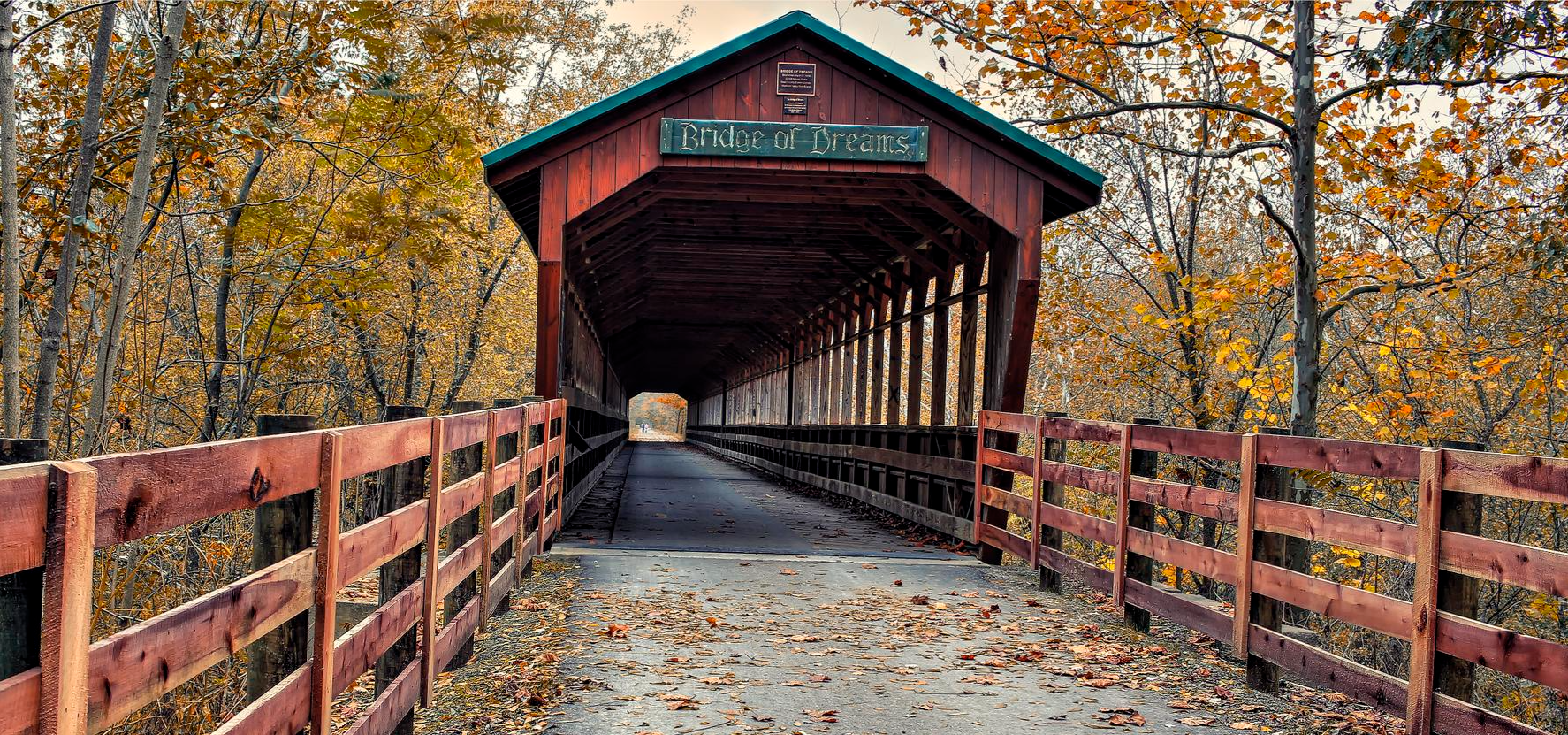
This section of the Ohio and Erie Canal Towpath Trail leads from the town of Brecksville to the Jaite Mill Historic District. It is part of the Buckeye Trail, which is a popular hiking trail in the area as well and follows the Cuyahoga River.
0
0
This is underpass takes you below the I-80 Ohio Turnpike Bridge right before it crosses the Cuyahoga River.
0
0
Frequently Asked Questions
How many road cycling routes are available in Akron?
Akron offers over 20 road cycling routes, catering to various skill levels. You'll find a mix of easy and moderate trails to explore across the region.
Are there easy road cycling routes suitable for beginners or families in Akron?
Yes, Akron has several easy road cycling routes perfect for beginners and families. The Ohio & Erie Canalway Towpath Trail is particularly well-suited, offering a relatively flat gradient and a mix of paved and crushed limestone surfaces. The Bike & Hike Trail, a paved rail-to-trail conversion, also provides a smooth and scenic ride.
What are some of the most scenic road cycling routes around Akron?
Many routes offer beautiful scenery. The Cuyahoga Valley loop takes you through the lush forests and rolling hills of Cuyahoga Valley National Park. The Bike & Hike Trail offers picturesque views of the Cuyahoga River and abundant waterfowl, while the Towpath Trail also provides views of the river and diverse wildlife.
Are there any challenging road cycling routes near Akron?
While Akron's routes are primarily easy to moderate, some offer more elevation gain and longer distances. The Peninsula/Kent loop, for instance, is a moderate 51.7-mile trail with over 500 meters of elevation gain, providing a comprehensive experience of the region's varied landscapes.
What kind of natural attractions can I see along Akron's road cycling routes?
Akron's routes are rich with natural beauty. Along the trails, you can encounter features like the Sharon Conglomerate rock walls of the Boston Ledges and the impressive 75-foot Brandywine Falls, especially accessible from the Bike & Hike Trail. You might also spot wildlife, including over 250 bird species, particularly within the Cuyahoga Valley National Park. Highlights like Ledges Overlook and Blue Hen Falls are also nearby.
Are there any loop or circular road cycling routes in Akron?
Yes, many of Akron's road cycling routes are designed as loops, offering a continuous journey back to your starting point. Examples include the Freedom Trail and Bike & Hike Trail Loop, which combines paved sections of former railroad corridors, and the Cuyahoga Valley loop.
Where can I find parking for road cycling trails in Akron?
Many of the major trail systems in Akron, such as the Ohio & Erie Canalway Towpath Trail and the Summit Metro Parks trails, offer designated parking areas at various access points. These are typically well-marked and provide convenient starting points for your ride.
What do other road cyclists enjoy most about road cycling in Akron?
The road cycling routes in Akron are highly rated by the komoot community, with an average score of 4.7 stars. Reviewers often praise the diverse landscapes, well-maintained trail systems, and the blend of scenic beauty with historical interest found along routes like the Ohio & Erie Canalway.
Are there any historical sites or landmarks to explore while road cycling in Akron?
Absolutely. The Ohio & Erie Canalway Towpath Trail itself is a historic route, tracing where mules once pulled canal boats. As you cycle, you can pass through downtown Akron, near attractions like Canal Park and the Civic Theatre. The Jaite Mill Historic District – Brecksville-Northfield Bridge loop from Akron Northside also offers a glimpse into the region's past.
What is the best time of year for road biking in Akron?
Spring, summer, and fall generally offer the best conditions for road biking in Akron, with pleasant temperatures and vibrant scenery. The fall foliage can be particularly stunning along routes that pass through forested areas like Cuyahoga Valley National Park.
Are there any trails that connect different parts of Akron or surrounding areas?
Yes, Akron's trail network is well-connected. The Ohio & Erie Canalway Towpath Trail spans over 90 miles, connecting Akron to other areas and leading into Cuyahoga Valley National Park. The Freedom Trail also holds potential for future connections to Downtown Akron, linking various urban and forested environments.
Most popular attractions around Akron

Get inspired with the komoot mobile app


Explore more
Browse the best Road cycling routes in other regions.
