The best walks and hikes around Fargo
15
hikers
10
hikes
Hiking around Fargo offers diverse outdoor experiences, primarily shaped by the Red River, which forms the border with Moorhead. The region features numerous wooded parks along the riverbanks, providing shaded trails and wildlife habitats. Additionally, Fargo incorporates native prairie landscapes and pollinator gardens within its city parks, contributing to varied ecological environments. The terrain is generally flat, with minimal elevation changes, making most trails accessible.
Best hiking trails around Fargo
- The most popular hiking route is Red River Trail —…
Last updated: June 24, 2026
2
hikers
2.02km
00:31
0m
0m
The Forest River Loop invites you to a peaceful hiking experience, offering a refreshing break within natural surroundings. You can enjoy a tranquil walk through pleasant forest environments, with potential…
1
hikers
3.63km
00:55
10m
10m
The MB Johnson Walking/Snowshoeing Trail offers an easy hiking experience, guiding you along the scenic banks of the Red River. You will cover 2.3 miles (3.6 km) with a gentle…

Sign up for free
1.97km
00:30
10m
10m
The Orchard Glen Loop offers an easy and refreshing hike, perfect for a quick outdoor escape. This gentle route covers 1.2 miles (2.0 km) with a minimal elevation gain of…
1.14km
00:18
10m
10m
Embark on an easy hike along the Blue Goose Trail, a paved path that guides you through a unique brackish marsh and wooded levee. You will pass shrub-scrub thickets and…
7
hikers
9.89km
02:30
20m
20m
The Fargo River Trail offers a moderate hiking experience along a paved path, providing scenic views of the Red River. You will cover 6.1 miles (9.9 km) with a gentle…
Get access to more routes and recommendations from other explorers.
Sign up for free
Already have an account?
Our route recommendations are based on thousands of hikes, rides, and runs completed by other people on komoot.
Start today with a free account
Your next adventure awaits.
Login or Signup
Popular around Fargo

Tips from the Community

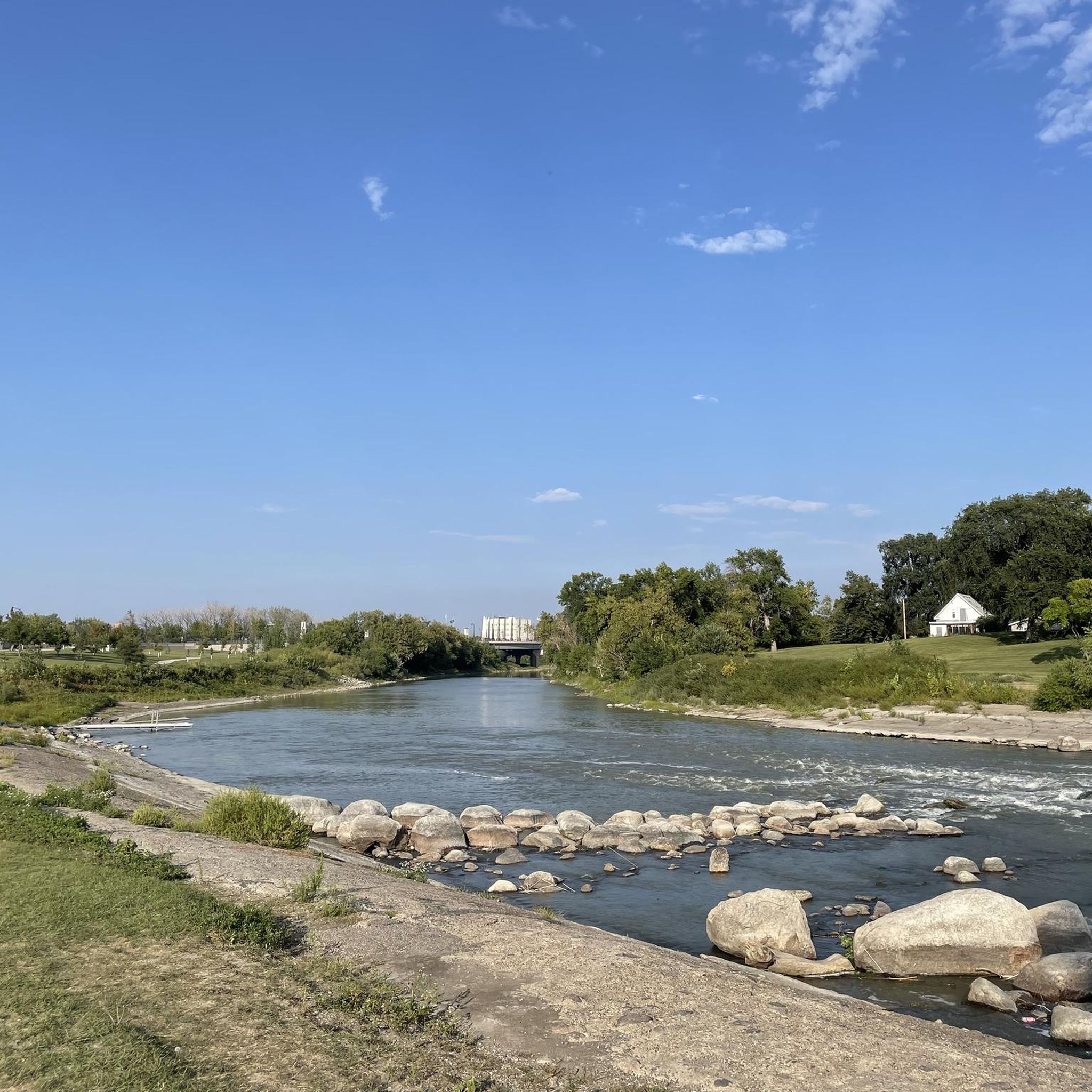
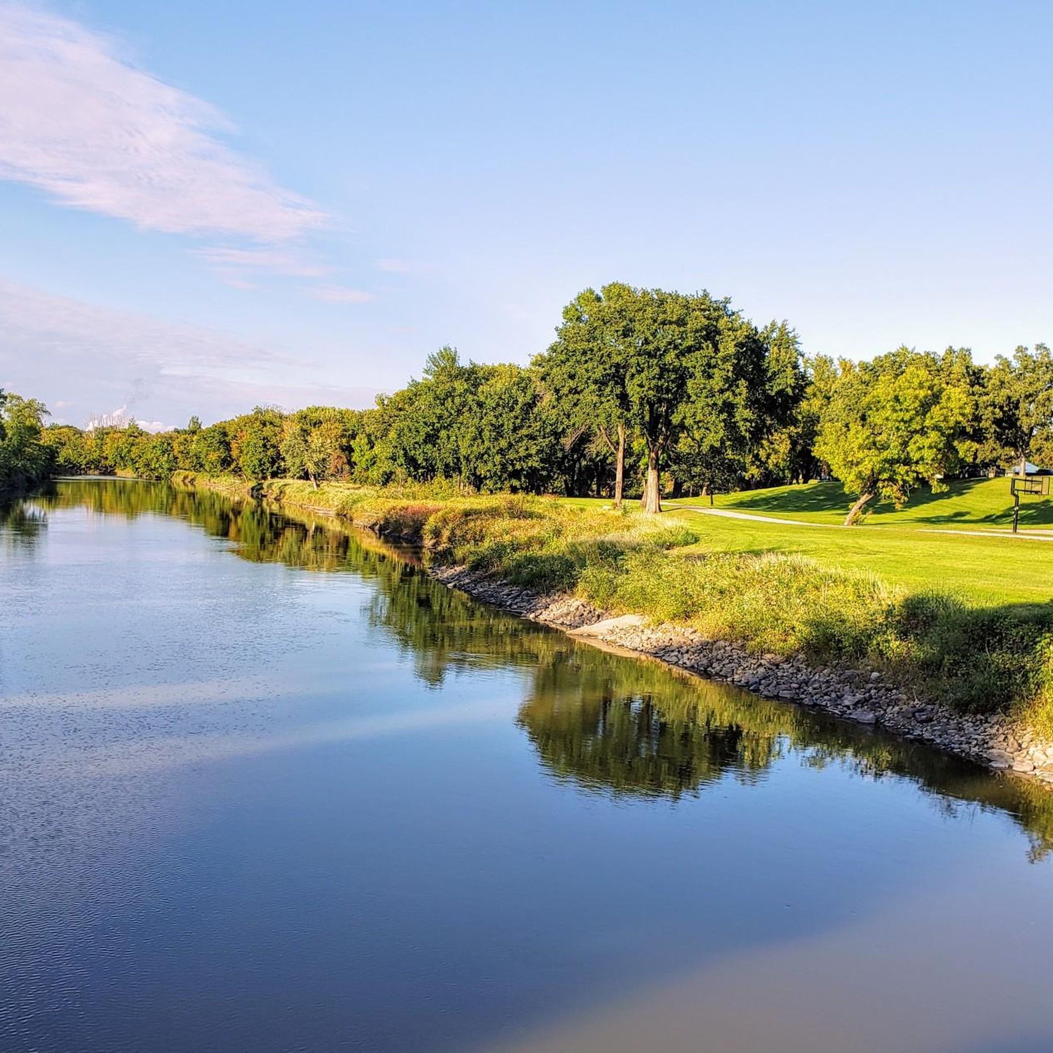
Known as the Red River of the North, this river flows northward through the Red River Valley and forms most of the border between the states of North Dakota and Minnesota.
0
0
Frequently Asked Questions
What kind of scenery can I expect on Fargo's hiking trails?
Fargo's hiking trails primarily offer scenic riverfront paths along the Red River, often winding through heavily wooded parklands. You'll also find areas with native prairie landscapes and pollinator gardens, especially in parks like Orchard Glen and Bison Meadows. These diverse environments provide opportunities to observe local wildlife, including deer, squirrels, and various bird species.
What is the typical difficulty of hiking trails in Fargo?
The hiking trails in Fargo are generally considered easy to moderate, with minimal elevation changes. Most routes are accessible, making them suitable for a wide range of hikers. For example, the Red River Trail — Lindenwood Park is a moderate route, while the Downtown Fargo Riverwalk loop — Fargo, ND is an easy path.
Are there family-friendly hiking trails in Fargo?
Yes, Fargo offers several family-friendly hiking options. Many parks feature easy-to-walk paths and shorter loops. For instance, the Island Park loop — Fargo, North Dakota is a short, easy route perfect for families. Additionally, Buffalo River State Park, a short drive from Fargo, provides easy paths suitable for all ages.
Are there any notable landmarks or attractions along Fargo's trails?
Many trails in Fargo offer views of the Red River, which is a significant natural feature. You might also encounter historical elements like the Bergquist Pioneer Cabin along the Moorhead Corridor River Trail. Other points of interest include the Pedestrian Bridge over Red River and the Hopperstad Stave Church Replica, which can be explored in the wider Fargo area.
When is the best time of year to go hiking in Fargo?
The best time for hiking in Fargo is typically during spring, summer, and fall. Spring brings beautiful blossoms, especially in parks like Orchard Glen, while fall offers vibrant foliage. These seasons provide pleasant temperatures for exploring the wooded and riverside trails. While winter hiking is possible, be prepared for snow and colder conditions.
Are there options for winter hiking in Fargo?
Yes, some trails in Fargo remain accessible for winter hiking, offering a different perspective of the snow-covered landscapes. Parks with wooded areas, such as MB Johnson Park and Forest River Park, can be particularly scenic in winter. Always check local conditions and dress appropriately for cold weather.
Are there loop trails available in Fargo?
Yes, Fargo features several enjoyable loop trails. A popular option is the Iwen Park to Lions Conservancy Park loop — Fargo, which takes you through wooded riverfront parks. The Downtown Fargo Riverwalk loop — Fargo, ND also provides a scenic circular path along the Red River.
Is parking available at Fargo's trailheads?
Most of Fargo's parks and trailheads offer convenient parking facilities. For example, Lindenwood Park, MB Johnson Park, and Orchard Glen Park all have designated parking areas, making it easy to access the trails. Public transport options may be limited for some trail access points, so driving is often the most practical way to reach them.
What kind of wildlife can I expect to see while hiking in Fargo?
Fargo's diverse natural spaces, especially along the Red River and in its wooded parks, are home to various wildlife. Hikers often spot deer, squirrels, and a wide array of birds, including herons, ducks, and colorful wood ducks. Bird watching is particularly popular, with locations like Buffalo River State Park (a short drive away) hosting over 200 species.
Are there any trails that offer a more extensive 'wilderness' experience near Fargo?
While Fargo's immediate trails are primarily within urban parks, for a more extensive wilderness experience, you can venture further afield. The Sheyenne National Grassland, about an hour's drive from Fargo, offers sections of the North Country Trail, providing a more rugged and expansive hiking environment.
What do other hikers enjoy most about hiking in Fargo?
Hikers often praise Fargo's trails for their accessibility, the peaceful riverfront views, and the surprising amount of natural beauty within an urban setting. The wooded areas provide welcome shade and a sense of immersion in nature, while the well-maintained paths make for enjoyable walks. Many appreciate the opportunity to spot wildlife and enjoy the changing seasons.
Most popular attractions around Fargo

Get inspired with the komoot mobile app


Explore more
Browse the best Hikes in other regions.
