The best road cycling routes around Mcadenville
5.0
(4)
109
riders
22
rides
Road cycling around Mcadenville features routes that navigate river valleys and include climbs over local hills. The terrain primarily consists of rolling landscapes, with some routes following the Catawba River. Elevated sections offer views of the surrounding area, such as the Cramer Mountain region. The area provides varied road cycling experiences, from flat river loops to more challenging ascents over undulating terrain.
Best road cycling routes around Mcadenville
- The most popular road cycling route is Catawba River loop from Mount…
Last updated: May 29, 2026
5.0
(3)
17
riders
67.2km
03:10
580m
580m
Moderate road ride. Good fitness required. Mostly well-paved surfaces and easy to ride.
13
riders
40.4km
01:49
300m
300m
Easy road ride. Great for any fitness level. Mostly well-paved surfaces and easy to ride.

Sign up for free
13
riders
108km
04:52
740m
740m
Moderate road ride. Good fitness required. Mostly well-paved surfaces and easy to ride.
13
riders
47.0km
02:05
340m
340m
Moderate road ride. Good fitness required. Mostly well-paved surfaces and easy to ride.
3
riders
49.5km
02:15
340m
340m
Moderate road ride. Good fitness required. Mostly well-paved surfaces and easy to ride.
Get access to more routes and recommendations from other explorers.
Sign up for free
Already have an account?
Our route recommendations are based on thousands of hikes, rides, and runs completed by other people on komoot.
Start today with a free account
Your next adventure awaits.
Login or Signup
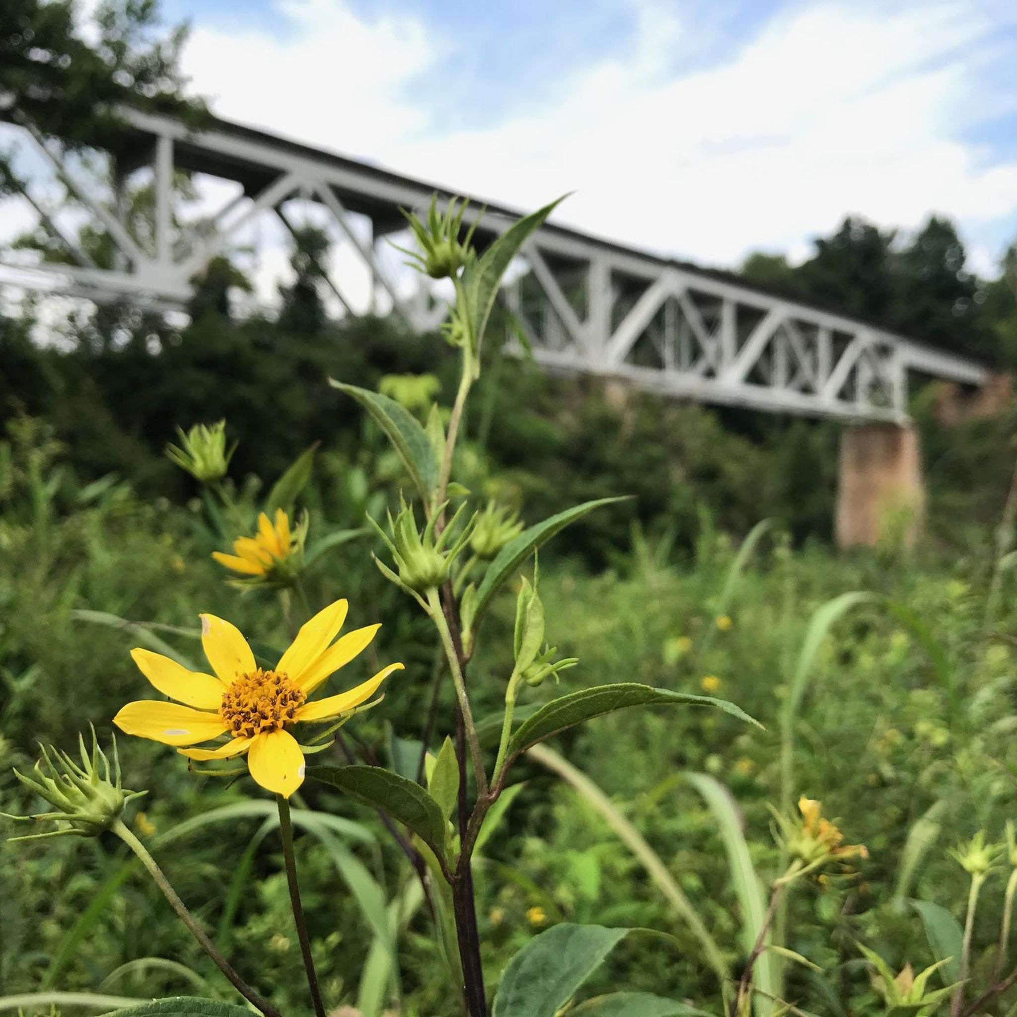
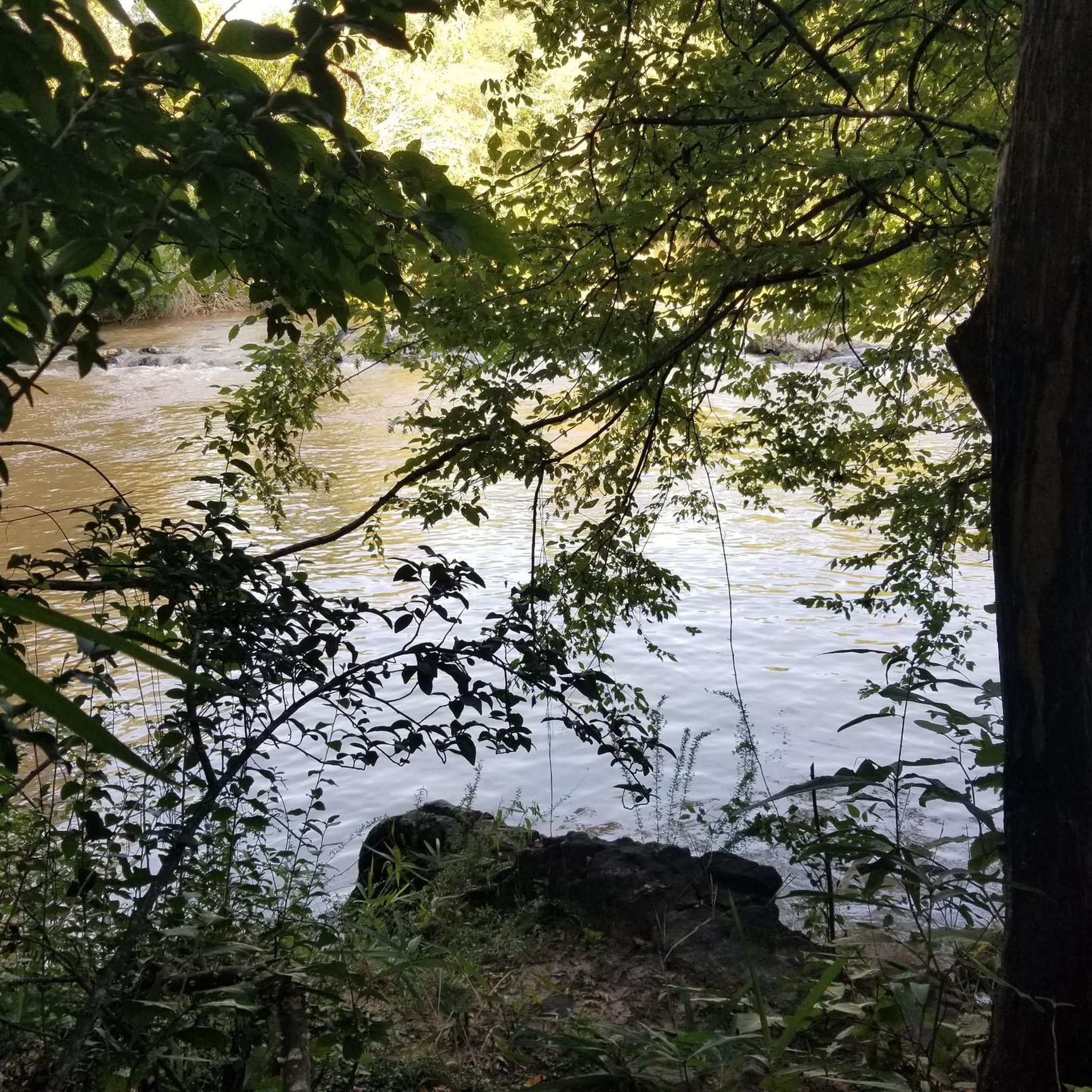


Tips from the Community

The Catawba River flows for 220 miles from the Blue Ridge Mountains in North Carolina. The river eventually flows into the Lake Wateree reservoir, and when it emerges again from the outlet it becomes known as the Wateree River.
0
0

The Rocky Branch Trail is a 1.25 mile trail that connects the towns of Belmont and Cramerton, North Carolina and is for primarily mountain bikers and hikers. Several single-track mountain bike trails extend off of this pleasant, shaded trail, so be aware and share the trails.
0
0
Frequently Asked Questions
How many road cycling routes are available around Mcadenville?
There are over 25 road cycling routes around Mcadenville, offering a variety of experiences from river loops to climbs over local hills.
Are there easy road cycling routes for beginners in Mcadenville?
Yes, Mcadenville offers several easy road cycling routes. For instance, the Cramer Mountain Climb loop from Belmont is an easy 25.1-mile (40.4 km) trail that takes about 1 hour 48 minutes, leading through the Cramer Mountain area.
What kind of terrain can I expect on road cycling routes in Mcadenville?
Road cycling around Mcadenville features routes that navigate river valleys and include climbs over local hills. The terrain primarily consists of rolling landscapes, with many routes following the Catawba River. Elevated sections offer views of the surrounding area, such as the Cramer Mountain region.
Are there any challenging road cycling routes for advanced riders?
Absolutely. For experienced cyclists seeking a challenge, the Catawba River loop from Belmont is a difficult 71.6-mile (115.2 km) path with significant elevation gain, providing an extensive journey along the river.
What do other road cyclists say about the routes in Mcadenville?
The road cycling routes in Mcadenville are highly rated by the komoot community, with an average score of 5.0 stars from over 3 reviews. More than 120 road cyclists have used komoot to explore Mcadenville's varied terrain, often praising the scenic river views and diverse landscapes.
Are there family-friendly road cycling options in Mcadenville?
While specific 'family-friendly' routes are not explicitly categorized, many of the easier and moderate routes along the Catawba River, which feature rolling landscapes and less intense climbs, could be suitable for families depending on their experience level. Always check route details for distance and elevation.
What are some scenic viewpoints or attractions along the road cycling routes?
Along your rides, you might encounter scenic spots like the viewpoint of the bridge drop in the competition channel. You can also find natural features such as Martin Pond Number Two, offering pleasant views during your ride.
Are there any circular road bike trails in Mcadenville?
Yes, many of the routes around Mcadenville are designed as loops. For example, the popular Catawba River loop from Mount Holly is a 30.5-mile (49.1 km) circular route following the river, and the Cramer Mountain Climb loop from Gastonia also offers a circular journey.
What is the best time of year for road biking in Mcadenville?
Mcadenville's climate generally allows for road cycling through much of the year. Spring and fall typically offer the most pleasant temperatures and vibrant scenery. Summer can be warm, while winter conditions are generally mild, though it's always advisable to check local weather forecasts before heading out.
Are there any road cycling routes that offer views of the Catawba River?
Many routes in Mcadenville are designed to follow the Catawba River, providing scenic views. The Catawba River loop from Mount Holly and the longer Catawba River loop from Belmont are excellent choices for experiencing the river's beauty.
What are the typical durations for road cycling routes in Mcadenville?
Route durations vary significantly based on distance and difficulty. You can find shorter rides like the Cramer Mountain Climb loop from Belmont, which takes about 1 hour 48 minutes, to much longer journeys such as the difficult Catawba River loop from Belmont, which can take over 5 hours.
Are there routes that include climbs over local hills?
Yes, Mcadenville's road cycling terrain includes routes with climbs over local hills. The Cramer Mountain Climb loop from Belmont is a prime example, leading through the Cramer Mountain area and offering ascents.
Most popular routes around Mcadenville
Most popular attractions around Mcadenville

Get inspired with the komoot mobile app


Explore more
Browse the best Road cycling routes in other regions.
