The best walks and hikes around Mcadenville
3.0
(2)
175
hikers
22
hikes
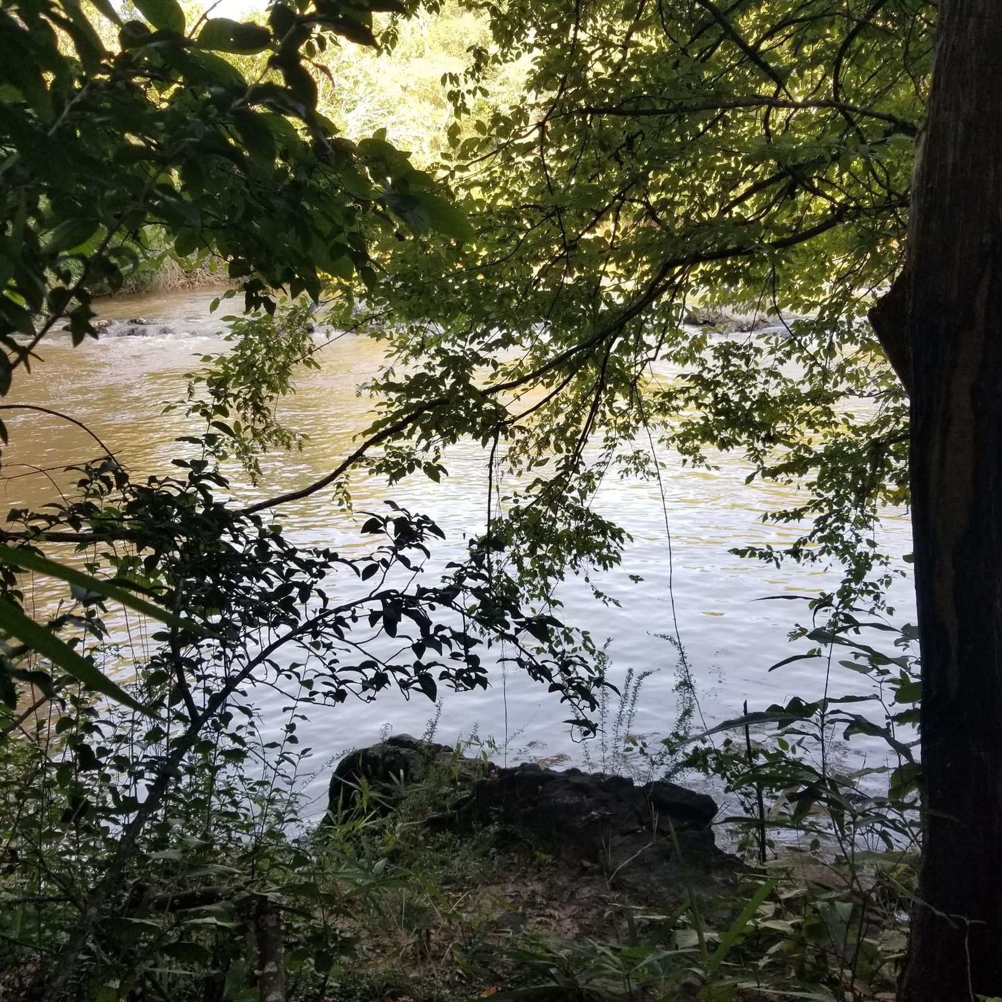
Hikes around McAdenville NC are centered along the South Fork Catawba River and its surrounding woodlands. The area's terrain is characterized by gentle gradients, with trails following the riverbanks and passing through natural preserves. Most routes have paved or mixed surfaces, making them accessible for a variety of activities.
Best hiking trails around Mcadenville
- The most popular hiking route is South Fork Trail (The Pharr Yarns Family Trail) — McAdenville, a 4.2 mile (6.7 km) trail that takes about 1 hour 45 minutes to complete. This route follows the banks of the South Fork Catawba River.
- Another top favourite among local hiking enthusiasts is All Weather Trail loop — U.S. National Whitewater Center, an easy 4.1 mile (6.7 km) path. The trail features mixed surfaces through a wooded area.
- Local hiking enthusiasts also love the Rocky Branch Trail loop — Belmont, a 4.7 mile (7.5 km) trail leading through local woodlands, often completed in about 2 hours.
- Hiking around Mcadenville is defined by riverside paths, wooded preserves, and gentle gradients. The local trail network offers a selection of easy routes suitable for most ability levels.
- The routes in Mcadenville are rated by the komoot community with an average score of 3.0 stars from a small number of reviews. More than 100 hikers have used komoot to explore Mcadenville's varied terrain.
Last updated: July 7, 2026
16
hikers
4.62km
01:13
40m
40m
The South Main Loop offers a delightful escape into nature, tracing the scenic banks of the Catawba River. You'll wander through lush, shaded forests, enjoying continuous river views and the calming atmosphere. The path is generally smooth, with a mix of singletrack and wider sections, making it a pleasant experience for casual hikers and families looking for an easy outing.
This easy 2.9-mile (4.6 km) hiking loop, with a gentle 139 feet (42 metres) of elevation gain, is located at the U.S. National Whitewater Center. It typically takes about 1 hour and 13 minutes to complete. Parking is available at the center, but as it's a popular outdoor hub, consider arriving early, especially on busy days. Spring and fall are particularly good times to visit for vibrant scenery and wildlife spotting.
What makes this South Main Loop stand out is its accessibility and the natural beauty it offers within a well-known outdoor activity center. It's a fantastic option for beginner hikes or for those seeking a dog-friendly trail where you can enjoy nature without a strenuous climb. The trail provides a peaceful contrast to the more adventurous activities found elsewhere at the Whitewater Center.
8
hikers
3.92km
01:01
30m
30m
The Dogleg trail offers a pleasant and accessible outdoor experience within the U.S. National Whitewater Center in Charlotte, North Carolina. This easy 2.4-mile (3.9 km) singletrack route features a bridge and is designed for multiple uses, including hiking, mountain biking, and trail running. With a gentle 93 feet (28 metres) of elevation gain, it's a relaxed journey that takes approximately 1 hour and 1 minute to complete, making it ideal for a quick escape into nature.
Planning your visit to the Dogleg trail is straightforward, though you should be aware of the parking fees typically associated with the U.S. National Whitewater Center. The trail is dog-friendly, so feel free to bring your leashed companion along for the adventure. To make the most of your time and avoid peak crowds, consider visiting during the cooler morning hours or later in the afternoon, especially on weekends.
This trail stands out as a versatile option for outdoor enthusiasts in the Mecklenburg County area, offering a well-maintained path suitable for various activities. Its easy difficulty level makes it a great choice for beginners or families looking for a low-impact outing. Being part of the larger Whitewater Center complex, you also have access to other amenities and activities, making it a convenient hub for a day of outdoor fun.

Sign up for free
8
hikers
3.92km
01:01
30m
30m
The Dogleg trail in Mecklenburg County, North Carolina, offers a delightful and easy hiking experience, perfect for a quick escape into nature. You'll navigate through varied terrain, from narrow dirt paths to multi-use sections, potentially crossing a bridge as you go. The scenery often includes woodlands and open areas, providing a refreshing change of pace without demanding too much effort.
Planning your visit is straightforward; parking is generally available at the trailhead. This trail is popular for multiple activities, so expect to share the path with mountain bikers and trail runners. To ensure a more serene experience, consider heading out during off-peak hours or on weekdays.
What makes this Dogleg trail notable is its accessibility and multi-use nature, making it a community favorite for various outdoor enthusiasts. It's an excellent option for those new to hiking or anyone looking for a relaxed 2.4-mile (3.9 km) stroll with only 93 feet (28 metres) of elevation gain, typically completed in just over an hour.
3.37km
00:52
10m
20m
If you're looking for a tranquil escape without a big time commitment, the South Fork Trail delivers. This easy 2.1-mile (3.4 km) hike, with a mere 37 feet (11 metres) of elevation gain, is often characterized by pleasant paths that follow natural water features like rivers or creeks, offering a serene atmosphere. You can comfortably complete the route in about 51 minutes, making it a perfect choice for a quick nature fix or a leisurely family outing.
Accessing the South Fork Trail is typically straightforward, with most trails of this type featuring a designated trailhead and parking. It's a great option for any time of day, but a morning or late afternoon visit can offer particularly pleasant light and cooler temperatures. Always check local conditions, especially for seasonal considerations like spring wildflowers or potential for winter snow, though this trail's low elevation gain makes it a good candidate for year-round enjoyment.
Many South Fork Trails are celebrated for their accessibility and natural beauty, often leading through forested areas or alongside flowing water. This particular route is an excellent introduction to hiking for beginners or a relaxing option for experienced hikers seeking a less strenuous day. It's a prime example of a family-friendly trail, offering a peaceful environment to connect with nature without demanding significant physical exertion.
1.33km
00:21
10m
10m
The Goat Island Greenway offers a delightful, easy stroll along the South Fork Catawba River, perfect for a quick escape into nature. This paved greenway winds through 30 acres of preserved wetlands and mature hardwoods, providing picturesque river views, especially as you cross the two pedestrian bridges. It's a flat, accessible route, making it ideal for a leisurely walk or a family outing.
Planning your visit is straightforward, with ample parking available at the trailhead. While the greenway is always open, arriving earlier on weekends can help you avoid crowds. The park also features clean restrooms and various amenities, ensuring a comfortable experience for all visitors.
Beyond the walking path, Goat Island Park is rich with attractions, including an observation pier, canoe/kayak landings, and a natural treehouse-style playground. The island's unique name comes from textile engineer Stuart Cramer, who released goats here in the early 1900s to manage vegetation. This 0.8-mile (1.3 km) route, with only 34 feet (10 metres) of elevation gain, takes about 20 minutes and is rated easy, making it a fantastic family-friendly option in Cramerton.
Get access to more routes and recommendations from other explorers.
Sign up for free
Already have an account?
Our route recommendations are based on thousands of hikes, rides, and runs completed by other people on komoot.
Start today with a free account
Your next adventure awaits.
Login or Signup



Tips from the Community

Frequently Asked Questions
Are the hiking trails in McAdenville dog-friendly?
Yes, many trails in the area are great for walking with your dog. The McAdenville Greenway Park is a particularly popular spot for dog walkers, offering a paved path along the river. As always, it's best to keep your dog on a leash and be mindful of local regulations, especially in nature preserves.
What are some good family-friendly hikes in the McAdenville area?
McAdenville is very family-friendly, with several easy trails. The South Fork Trail (The Pharr Yarns Family Trail) is a great choice, offering a 2.4-mile journey along the river with mixed surfaces. Its gentle terrain and scenic views make it suitable for hikers of all ages.
What is the trail surface like on the paths around McAdenville?
The trail surfaces vary. The McAdenville Greenway is fully paved, making it ideal for easy walks, runs, and strollers. Other paths, like those in the Pharr Yarns Preserve, feature a mix of natural dirt, gravel, and some paved sections, offering a more traditional hiking experience.
Which trails run along the South Fork of the Catawba River?
Both of McAdenville's primary trails follow the South Fork Catawba River. The McAdenville Greenway runs parallel to the river, providing excellent views from the downtown area. For a longer riverside experience, the Pharr Yarns Family Trail also follows the river's banks, connecting McAdenville to the town of Lowell.
Are there any circular or loop trails near McAdenville?
Yes, there are several loop trails in the surrounding area. For a straightforward woodland walk, the Rocky Branch Trail loop — Belmont is a 4.7-mile route. Another option is the Martin Pond Number Two loop from Riverfront Homes & Marina, which offers a shorter, easy circuit.
What kind of wildlife can I expect to see?
The area around the South Fork Catawba River is rich in wildlife. The Pharr Yarns Preserve is a habitat for over 50 species of birds, so it's a great spot for birdwatching. Keep an eye out for great blue herons, osprey, and even bald eagles along the river. The preserve is also part of the Butterfly Highway, supporting native pollinators.
Are there opportunities for trail running near McAdenville?
Absolutely. The local trails are well-suited for running. The paved McAdenville Greenway offers a smooth, flat surface for a straightforward run. For those who prefer varied terrain, the All Weather Trail loop at the U.S. National Whitewater Center provides a 4.1-mile path with mixed surfaces through the woods.
Can I go kayaking or paddling on the river?
Yes, the South Fork Catawba River is a designated blueway, perfect for paddling. McAdenville has a public canoe and kayak launch near the greenway, providing easy access to the water. The river's gentle flow and undeveloped banks make for a peaceful experience.
Are there any scenic viewpoints or overlooks on the trails?
While the trails are mostly at river level, they offer continuous scenic views of the water and surrounding woodlands. Along the Pharr Yarns Family Trail, you'll find Cable Point, a dedicated lookout area that provides a lovely spot to pause and appreciate the river.
What do other hikers think of the trails in McAdenville?
The komoot community rates the trails with an average of 3.0 stars. Hikers often enjoy the accessibility of the trails and the serene environment along the South Fork Catawba River. The mix of paved greenways and natural surface paths is frequently mentioned as a positive feature.
Are there any historical points of interest along the hikes?
Yes, you can spot some history while you hike. Along the Pharr Yarns Family Trail, you can see the stone pillar remnants of a Civil War-era bridge. The trail also passes by sites of former textile mills that were central to the region's history.
Where are the main access points or trailheads for hiking?
The main trail systems are very accessible. You can start your hike at the South Fork Trail and Blueway Access on Willow Drive, which is a popular starting point for the Pharr Yarns Family Trail. Another key location is the McAdenville Greenway Park on Lakeview Drive, which offers parking and direct access to the paved greenway.
Most popular attractions around Mcadenville

Get inspired with the komoot mobile app


Explore more
Browse the best Hikes in other regions.
