The best walks and hikes around Knightdale
4.5
(4)
79
hikers
27
hikes
Hiking around Knightdale, North Carolina, offers access to an extensive network of trails and diverse parkland. The region is characterized by interconnected greenway systems, including the Neuse River Greenway Trail, which features lush, tree-lined paths, river crossings, and boardwalks through wetland areas. Hardwood forests and riverine landscapes define much of the terrain, providing varied natural settings for outdoor activities.
Best hiking trails around Knightdale
- The most popular hiking route is Neuse River Greenway Trail, an easy 3.0 miles (4.9…
Last updated: October 10, 2026
5.0
(1)
6
hikers
5.31km
01:23
40m
30m
Easy hike. Great for any fitness level. Easily-accessible paths. Suitable for all skill levels.
1
hikers
2.56km
00:39
10m
10m
Easy hike. Great for any fitness level. Easily-accessible paths. Suitable for all skill levels.

4.87km
01:14
10m
20m
Easy hike. Great for any fitness level. Easily-accessible paths. Suitable for all skill levels.
10.5km
02:42
60m
50m
Moderate hike. Good fitness required. Easily-accessible paths. Suitable for all skill levels.
86.3km
22:00
270m
280m
Hard hike. Very good fitness required. Easily-accessible paths. Suitable for all skill levels.
Get access to more routes and recommendations from other explorers.
Already have an account?
Our route recommendations are based on thousands of hikes, rides, and runs completed by other people on komoot.
Start today with a free account
Your next adventure awaits.
Popular around Knightdale

Tips from the Community

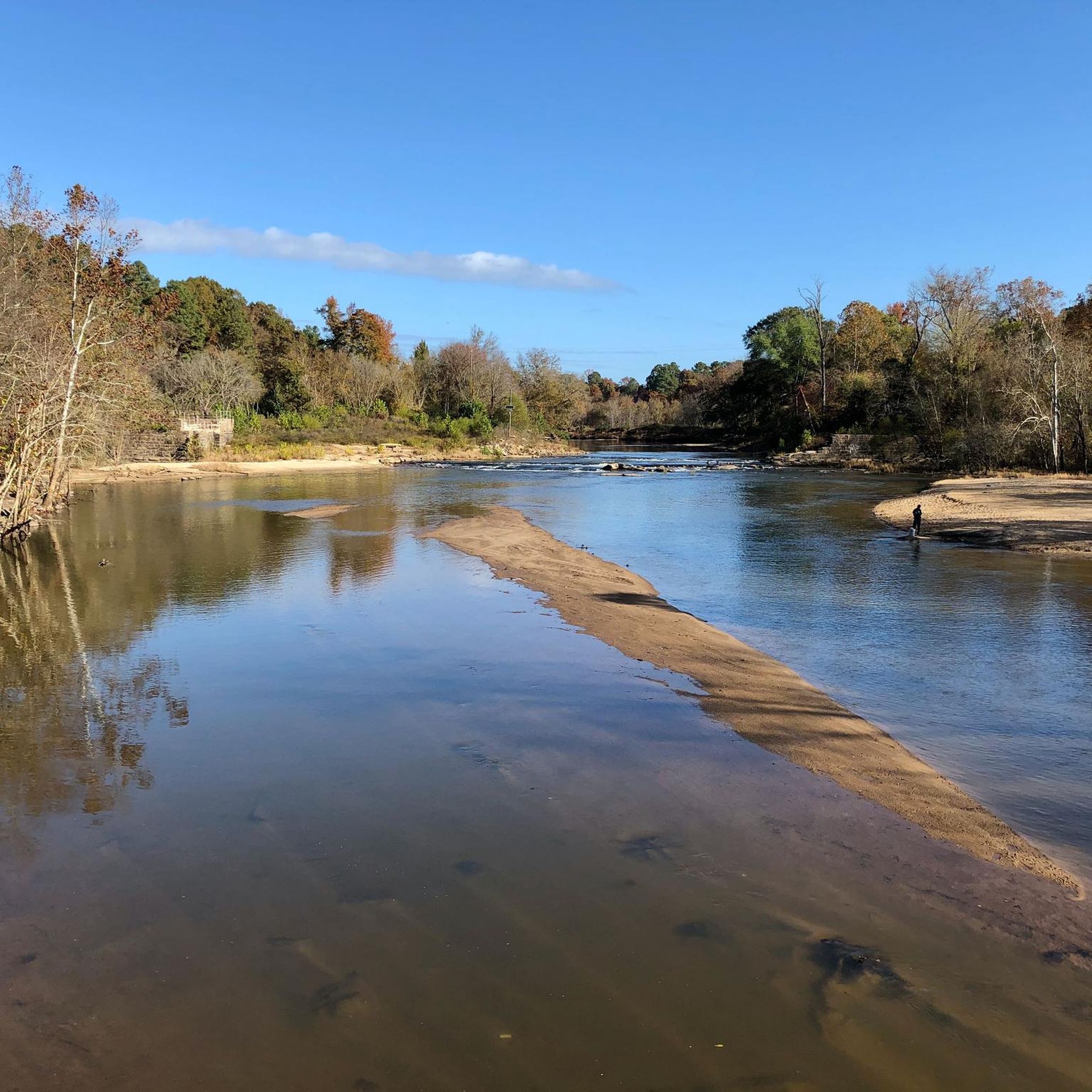
This was the site of the Milburnie Dam, which was built on centuries old mills and dams. Now, it has been removed and this section of the Neuse River is being cleaned up. There is an overlook spot that gives you a great view of the river.
1
0

This is one of two suspension bridges that span the Neuse River. The bridge is 275 feet long and has two 45-foot-tall steel towers.
0
0
Anderson Point Park is a 90-acre park that is home to the historic Anderson Family Homestead, as well as walking trails, an amphitheater, and sports fields.
0
0

The Turnipseed Nature Preserve in North Carolina is a serene sanctuary nestled in natural beauty. Covering areas of diverse ecosystems such as wetlands and meadows, it offers various hiking trails with a rich biodiversity.
0
0

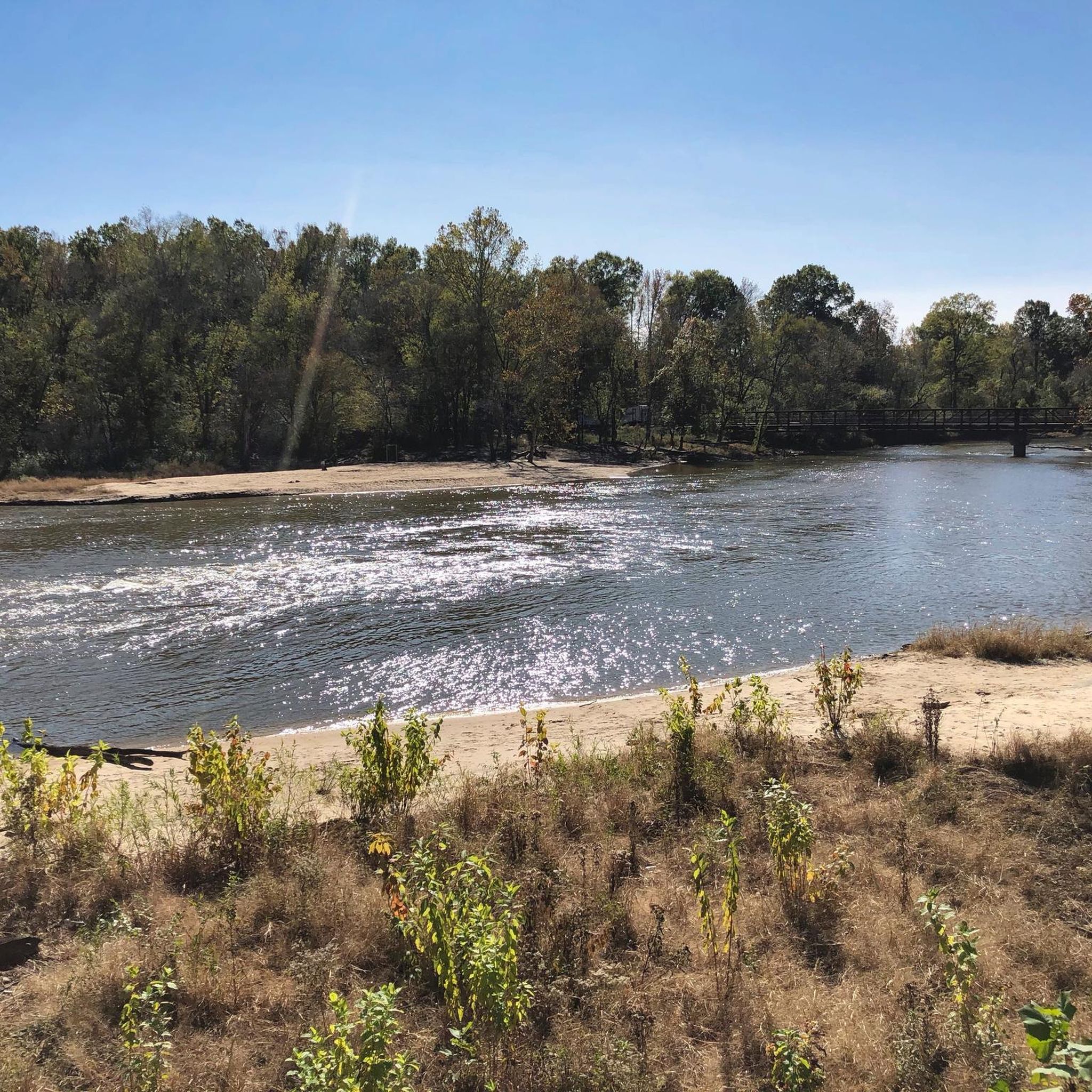
Scenic overlook of the Neuse River from the sight of the former Milburnie Dam. Raleigh Beach is also located on the river at this location.
0
0

It's a great place to take a break and get a view of the river.
0
0
Frequently Asked Questions
How many hiking trails are available in Knightdale?
Knightdale offers a wide variety of hiking opportunities, with over 25 trails to explore. These range from easy walks to more challenging routes, catering to different fitness levels.
What is the general difficulty level of hiking trails in Knightdale?
The trails around Knightdale are predominantly easy, with 15 routes classified as such. There are also 6 moderate and 5 difficult trails for those seeking more challenging excursions. The extensive greenway system provides many accessible options.
What kind of terrain can I expect on Knightdale's hiking trails?
You can expect diverse terrain, including lush, tree-lined paths, wooded boardwalks through wetland areas, and paved sections within parks. The region is characterized by interconnected greenways, hardwood forests, and riverine landscapes, offering varied natural settings.
Are there family-friendly hiking options in Knightdale?
Yes, many trails in Knightdale are suitable for families. For example, the Knightdale Station Park Loop is an easy 1.6-mile path within a 74.5-acre park, known for being kid-friendly with well-maintained routes.
Are Knightdale's trails dog-friendly?
Many areas in Knightdale welcome dogs. Knightdale Station Park Loop is a notable dog-friendly option. Additionally, some of the waterfall trails within a 50-mile radius are also suitable for dogs.
Can I find trails with waterfalls near Knightdale?
Yes, within a 50-mile radius of Knightdale, there are four waterfall hiking trails, including Lanier Falls, Upper Falls, and Little Falls. These trails vary from easy to moderate difficulty, offering scenic natural beauty.
Are there any circular hiking routes in Knightdale?
Yes, you can find circular routes in Knightdale. A popular option is the Knightdale Station Park Loop, which provides a well-maintained, easy 1.6-mile path perfect for a round trip.
What natural features or landmarks can I see along the trails?
Knightdale's trails offer access to several natural features and landmarks. You can explore the extensive Neuse River Greenway Trail with its suspension bridges and wetland boardwalks, or visit the Milburnie Overlook for views of the Neuse River. Mingo Creek Park and Knightdale Environmental Park also feature scenic wetlands and forests.
Where can I find parking for Knightdale hiking trails?
Most parks and greenway access points in Knightdale offer dedicated parking facilities. For instance, Mingo Creek Park and Knightdale Station Park provide convenient parking for trail users. It's always a good idea to check specific park websites for detailed parking information.
Is there public transport access to hiking trails in Knightdale?
While Knightdale is well-connected by its greenway system, direct public transport access to all trailheads may be limited. Most visitors typically reach the hiking areas by car. We recommend checking local transit schedules for specific routes if you plan to use public transportation.
What do other hikers enjoy the most about hiking in Knightdale?
The area is highly rated by the komoot community, with an average score of 5.0 stars. Reviewers often praise the extensive and well-maintained greenway system, the diverse natural landscapes including wetlands and hardwood forests, and the accessibility of trails for various activity levels.
Are there any upcoming park developments in Knightdale that hikers should know about?
Yes, Panther Rock Park is currently under development. This upcoming 2-acre passive park is noted for its substantial rock formations, which will be ideal for climbing, and will include a mulched walking trail. You can find more information on the town's engagement page: engage.knightdalenc.gov/panther-rock-park.
What are some longer hiking options in the Knightdale area?
For longer excursions, consider the Neuse River Trail to Williamson Preserve, a moderate 6.5-mile route. The broader Neuse River Trail itself extends for over 50 miles, offering a challenging and extensive hiking experience.
Most popular attractions around Knightdale

Get inspired with the komoot mobile app


Explore more
Browse the best Hikes in other regions.
