The best road cycling routes around Woodmere
4.7
(23)
419
riders
18
rides
Road cycling routes around Woodmere feature predominantly flat terrain, making them accessible for various skill levels. The region is characterized by coastal areas, waterfront paths, and suburban roads, often incorporating loops around local ponds and parks. Elevation gains are minimal, with most routes staying close to sea level. This landscape provides consistent riding conditions suitable for longer distances without significant climbs.
Best road cycling routes around Woodmere
- The most popular road cycling route is Willow Pond loop from Rosedale,…
Last updated: October 19, 2026
4.0
(2)
41
riders
40.6km
01:45
60m
60m
Easy road ride. Great for any fitness level. Mostly well-paved surfaces and easy to ride.
27
riders
43.0km
01:50
80m
80m
Easy road ride. Great for any fitness level. Mostly well-paved surfaces and easy to ride.

24
riders
37.0km
01:37
70m
70m
Easy road ride. Great for any fitness level. Mostly well-paved surfaces and easy to ride.
5.0
(1)
14
riders
Easy road ride. Great for any fitness level. Mostly well-paved surfaces and easy to ride.
4.3
(3)
12
riders
22.8km
01:07
40m
40m
Easy road ride. Great for any fitness level. Mostly well-paved surfaces and easy to ride.
Get access to more routes and recommendations from other explorers.
Already have an account?
Our route recommendations are based on thousands of hikes, rides, and runs completed by other people on komoot.
Tips from the Community

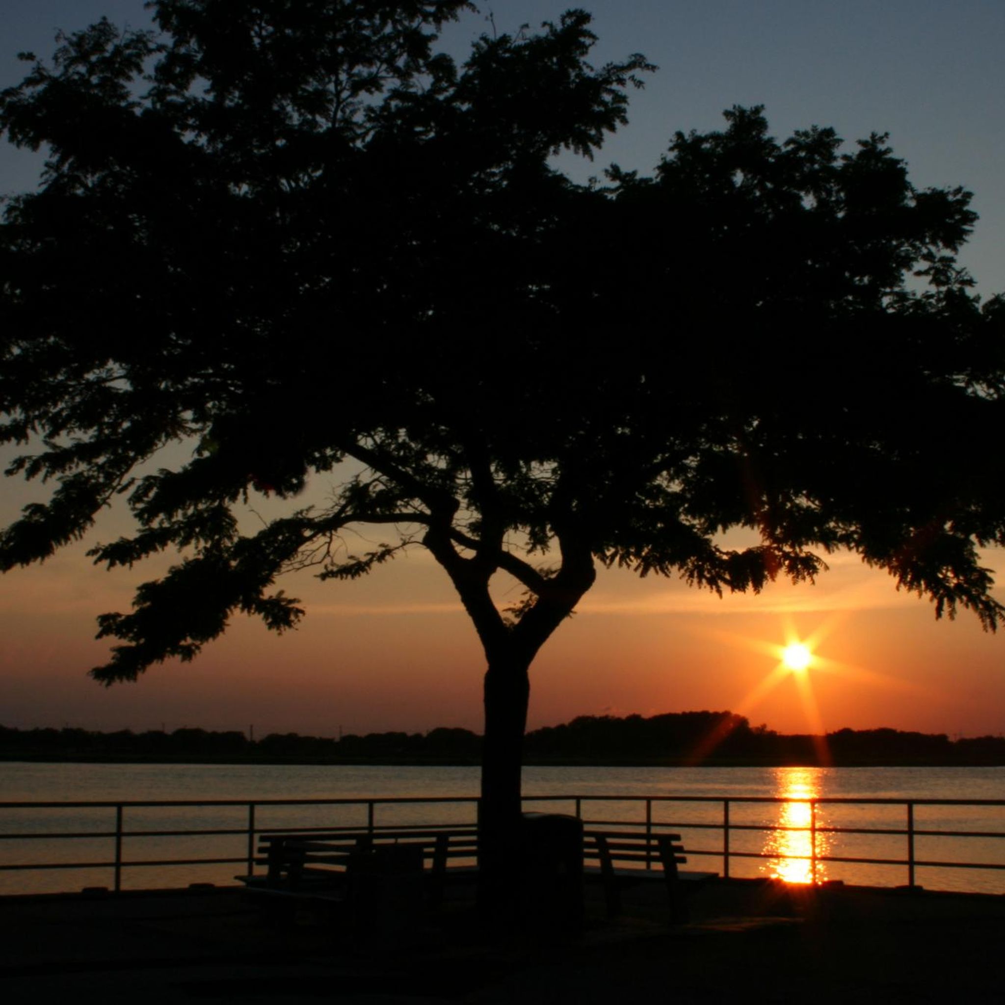
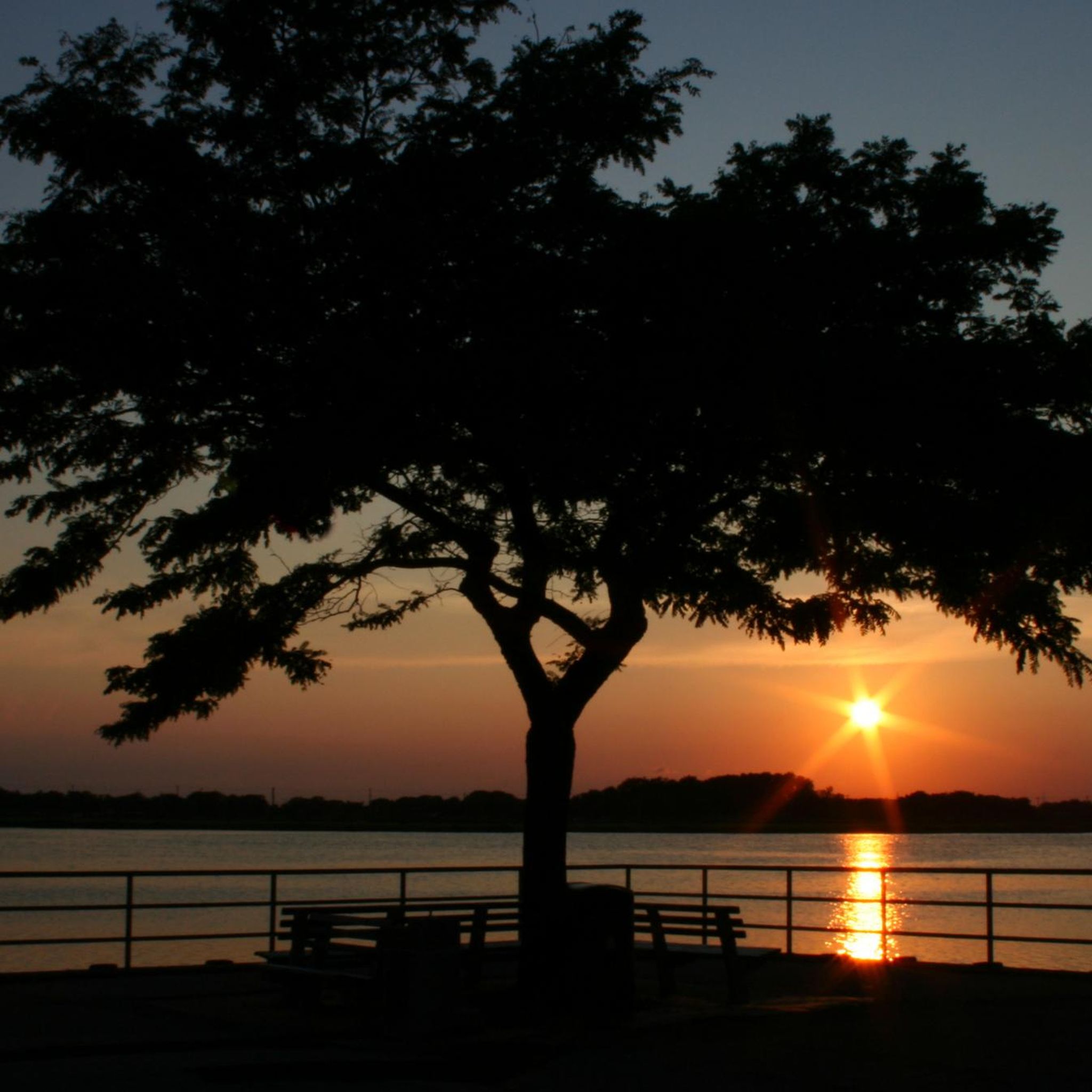
Long Beach Boardwalk is a wide, pedestrian-friendly path perfect for a run, relaxing bike ride or walk along the ocean. Stretching for over 2 miles, it offers fresh sea air, beach access, and plenty of spots to stop for food or drinks. Early mornings are quieter, while afternoons can get busier.
0
0
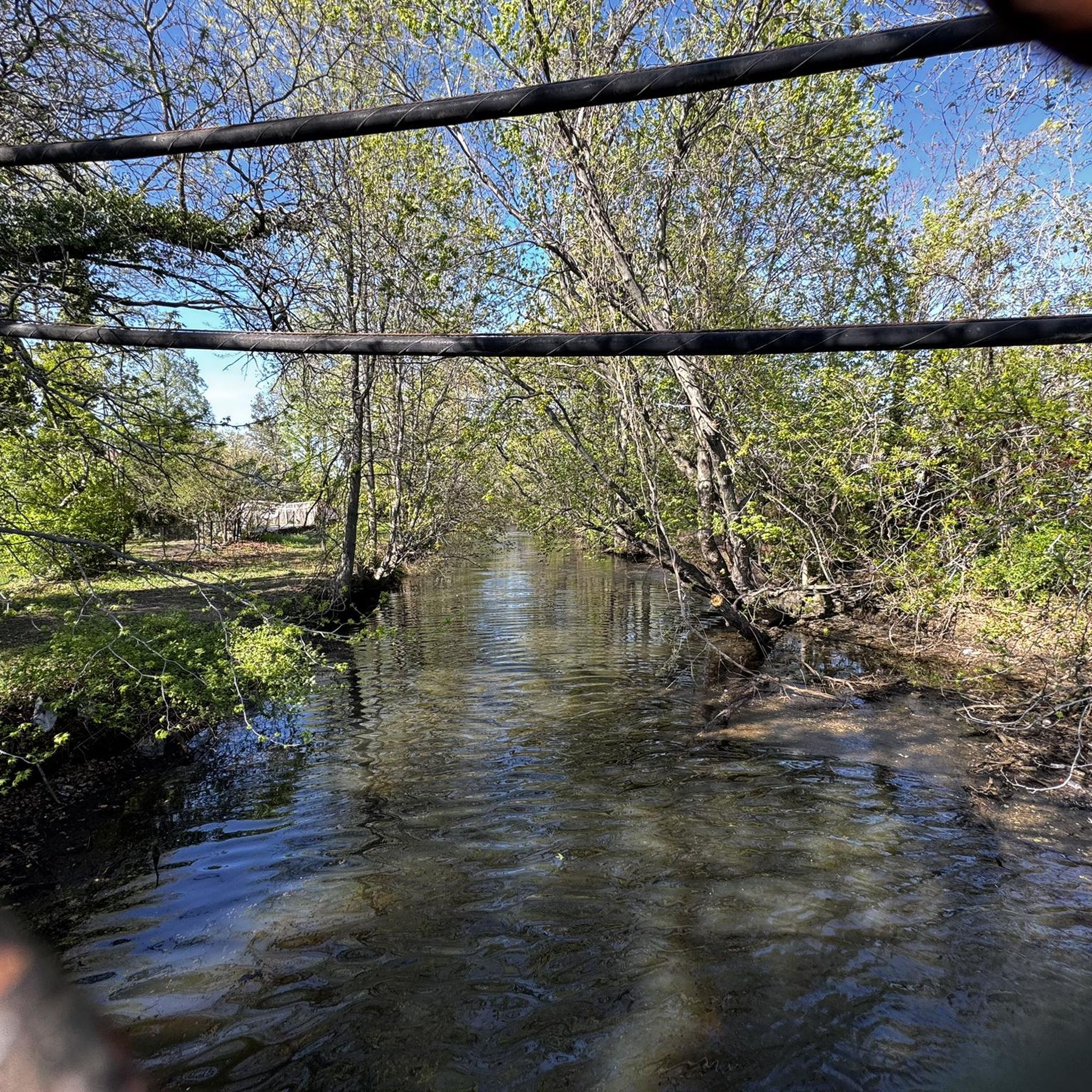
Here, you’ll pass by Willow Pond and the Village of Hewlett Bay Park. The pond is very charming, with some swans living in it. Enjoy the water views.
0
0


Willow Pond and Macy Channel are separated by Everit Avenue and are surrounded by green lawns and a variety of different types of trees. Both bodies of water are surrounded by large homes, and Macy Channel is lined with docks.
0
0

Willow Pond is a peaceful and beautiful location situated between Hewlett Bay Park and Hewlett Harbor. The area is home to various species of birds, including great blue herons and egrets. If you need a break, there is a nice bench here where you can relax and recharge.
0
0

This park has the rare view of the Reynolds Channel, as most of the shore is lined with property. If you'd like to get the full view, jump off the bike and head into the park on foot.
0
0

The southeastern-most point in NYC — the beach here faces the Atlantic Ocean where it meets Reynolds Channel, and is accessible via riding on the paved boardwalk all the way from Belle Harbor.
1
0
Small park where you can catch a view of the water at Reynolds Channel — most of the north shore of Long Beach Barrier Island is lined with homes/private property.
0
0
Frequently Asked Questions
What kind of terrain can I expect on road cycling routes around Woodmere?
Road cycling routes in Woodmere are predominantly flat, characterized by coastal areas, waterfront paths, and suburban roads. You'll find minimal elevation gains, with most routes staying close to sea level, making for consistent riding conditions suitable for various skill levels.
Are there many road cycling routes available in Woodmere?
Yes, Woodmere offers a good selection of road cycling routes. There are over 20 routes available, catering to different preferences and skill levels.
Which routes are suitable for beginner road cyclists or families in Woodmere?
For beginners and families, Woodmere offers many easy, flat routes. The Long Beach Boardwalk – Veterans Memorial Park loop from Village of Atlantic Beach is an excellent choice, covering 12.7 miles (20.4 km) along coastal areas and the boardwalk. Another easy option is the Willow Pond loop from Centre Avenue, which is 14.2 miles (22.8 km).
Are there longer distance road cycling routes for more experienced riders?
Yes, Woodmere has options for longer rides. The Willow Pond loop from Rosedale is a popular choice, stretching 26.9 miles (43.3 km) and offering a consistent ride around local water features. Another route, the Cross Bay Bridge and Boulevard loop from Beach 25th Street, is a moderate 26.1 miles (42.1 km) path with varied scenery.
What are some scenic viewpoints or landmarks I can see along the road cycling routes?
Many routes offer scenic views, especially along the coast and near local water bodies. You might encounter landmarks like the Cross Bay Bridge and Boulevard, or enjoy views from the Cross Bay City View. The Beach at Far Rockaway is also a notable point of interest.
Are there any circular road cycling routes around Woodmere?
Yes, many of the road cycling routes in Woodmere are designed as loops. For example, the Willow Pond loop from Beach 25th Street is an easy 23.1 miles (37.2 km) circular route, perfect for exploring the area and returning to your starting point.
What do other road cyclists think about the routes in Woodmere?
The road cycling routes in Woodmere are highly regarded by the komoot community, with an average rating of 4.7 stars from over 18 reviews. Over 400 road cyclists have used komoot to explore the area, often praising the flat, accessible terrain and scenic waterfront sections.
What is the best time of year for road biking in Woodmere?
Given the coastal and flat nature of Woodmere's routes, spring through fall generally offers the most pleasant conditions for road cycling. The lack of significant elevation means routes are less affected by snow and ice, making them accessible for a longer season compared to mountainous regions.
Are there any routes that pass by lakes or natural reserves?
Yes, some routes incorporate natural areas. You can find routes that pass near Hempstead Lake and Hempstead Lake State Park, offering opportunities to enjoy the natural surroundings. The Jamaica Bay Wildlife Refuge Trail is also a nearby highlight for nature enthusiasts.
How can I find parking or public transport access for these routes?
While specific parking details for each route vary, many routes start from accessible points within Woodmere or nearby towns. For public transport, consider routes that begin near urban centers or train stations, such as those starting from Beach 25th Street or Rosedale, which often have better connectivity. Always check local transport schedules and parking availability before you go.
Are there any routes that are particularly good for seeing the coastline?
Absolutely. The Long Beach Boardwalk – Veterans Memorial Park loop from Village of Atlantic Beach is an excellent option, leading directly through coastal areas and along the boardwalk, providing continuous ocean views.
Most popular routes around Woodmere
Most popular attractions around Woodmere

Get inspired with the komoot mobile app


Explore more
Browse the best Road cycling routes in other regions.
