The best running trails around Shelter Island
4.5
(7)
191
runners
46
runs
Jogging around Shelter Island offers access to a diverse landscape, with approximately one-third of the island preserved in its natural state. The terrain features protected wetlands, woodlands, and coastlines, providing varied scenery for running. Its generally flat nature makes it accessible for different fitness levels, while a network of trails winds through diverse ecosystems. This allows runners to experience the island's natural beauty and tranquil environment.
Best jogging routes around Shelter Island
- The most popular jogging route is Joan C. Coles, Red, Yellow, Blue and Green Trail loop, an 8.2 miles (13.1 km) trail that takes 1 hour 36 minutes to complete. This route explores diverse habitats including woodlands and coastal sections.
- Another top favourite among local runners is Long Pond Greenbelt Trail, a moderate 5.0 miles (8.1 km) path. This trail leads through varied landscapes, including freshwater marshes and wooded areas.
- Local runners also love the Cedar Point Lighthouse Loop Trail, a 4.8 miles (7.8 km) trail leading through coastal woodlands, often completed in about 52 minutes.
- Jogging around Shelter Island is defined by preserved wetlands, dense woodlands, and scenic coastlines. The network of routes offers options for different ability levels, from easy paths to more challenging runs.
- The routes in Shelter Island are highly rated by the komoot community with an average score of 4.5 stars from over 3 reviews. More than 130 runners have used komoot to explore Shelter Island's varied terrain.
Last updated: October 10, 2026
6
runners
13.1km
01:36
60m
60m
The Joan C. Coles, Red, Yellow, Blue and Green Trail loop is a fantastic option for joggers seeking a refreshing escape into nature. This moderate 8.2-mile (13.1 km) route winds through the beautiful Mashomack Preserve, offering a mix of forest paths and glimpses of Nicoll's Creen. With only 204 feet (62 metres) of elevation gain, it's a consistent and enjoyable run that you can comfortably complete in about 1 hour and 35 minutes.
When planning your visit, you'll find convenient parking at the trailhead, making access simple for a quick getaway. This loop is perfect for a morning or late afternoon jog, especially if you're looking for a steady pace without significant climbs. It's a great way to experience the natural beauty of Shelter Island without committing to an overly long or challenging outing.
This trail stands out as a reliable choice for a moderate jogging experience within the Mashomack Preserve, a significant natural area on Shelter Island. Its well-maintained paths and gentle elevation make it a welcoming route for those looking to maintain their fitness amidst peaceful surroundings. The blend of forest and water views provides a scenic backdrop for your 8.2-mile (13.1 km) run.
3
runners
8.05km
00:57
20m
20m
The Long Pond Greenbelt Trail offers a peaceful escape for joggers in Sag Harbor, guiding you through a serene natural landscape that feels far removed from the bustle. You'll follow a path that includes a section of the Old Railroad, providing a unique historical backdrop to your run. The route is mostly flat, making it ideal for maintaining a steady pace and enjoying the quiet surroundings.
This 5.0-mile (8.1 km) jogging route is rated moderate, with a gentle 68 feet (21 metres) of elevation gain, and you can comfortably complete it in about 57 minutes. The trailhead is conveniently located near Mashashimuet Park, which usually provides parking options. It's a great option for a morning or afternoon jog when you want to get some exercise without a strenuous climb.
This trail is part of the larger Long Pond Greenbelt, an important natural area in Suffolk County, New York. It's a fantastic spot for wildlife spotting and experiencing the local ecosystem. The easy terrain and accessible location make it a popular choice for those seeking a straightforward and enjoyable jogging experience in the Sag Harbor area.

7.78km
00:52
30m
30m
Jog the 4.8-mile Cedar Point Lighthouse Loop Trail in Cedar Point County Park for coastal views, diverse terrain, and a historic lighthouse.
4.0
(2)
20
runners
Moderate run. Good fitness required. Mostly paved surfaces. Suitable for all skill levels.
14
runners
9.96km
01:02
60m
60m
Moderate run. Good fitness required. Mostly paved surfaces. Suitable for all skill levels.
Get access to more routes and recommendations from other explorers.
Already have an account?
Our route recommendations are based on thousands of hikes, rides, and runs completed by other people on komoot.
Start today with a free account
Your next adventure awaits.
Popular around Shelter Island
Tips from the Community

A save beach, and one of a lot one Long Island
0
0

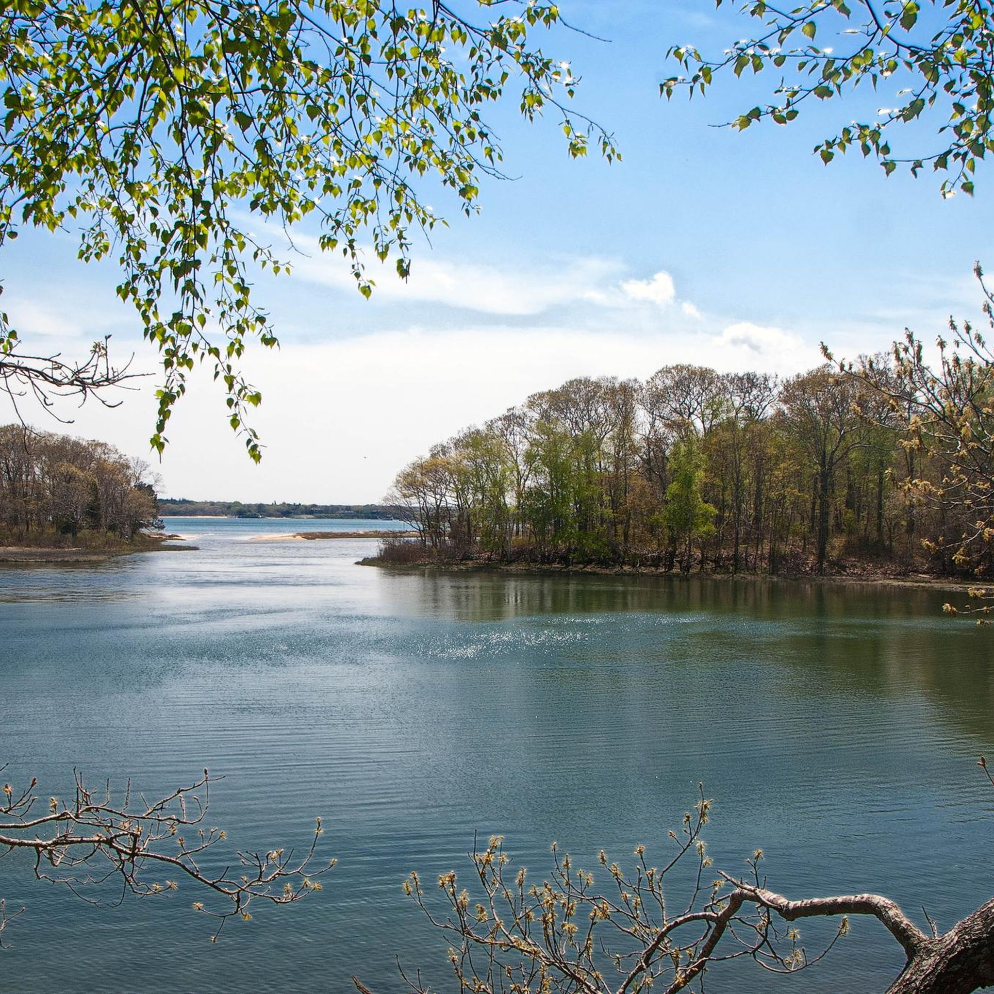
The Long Pond Greenbelt Trail, also known as Old Railroad, runs past a chain of scenic coastal plain ponds and by wetlands surrounded by fringing oak forests. The trail varies from wide, open, and flat to narrow, sandy, and bumpy in some other spots.
0
0
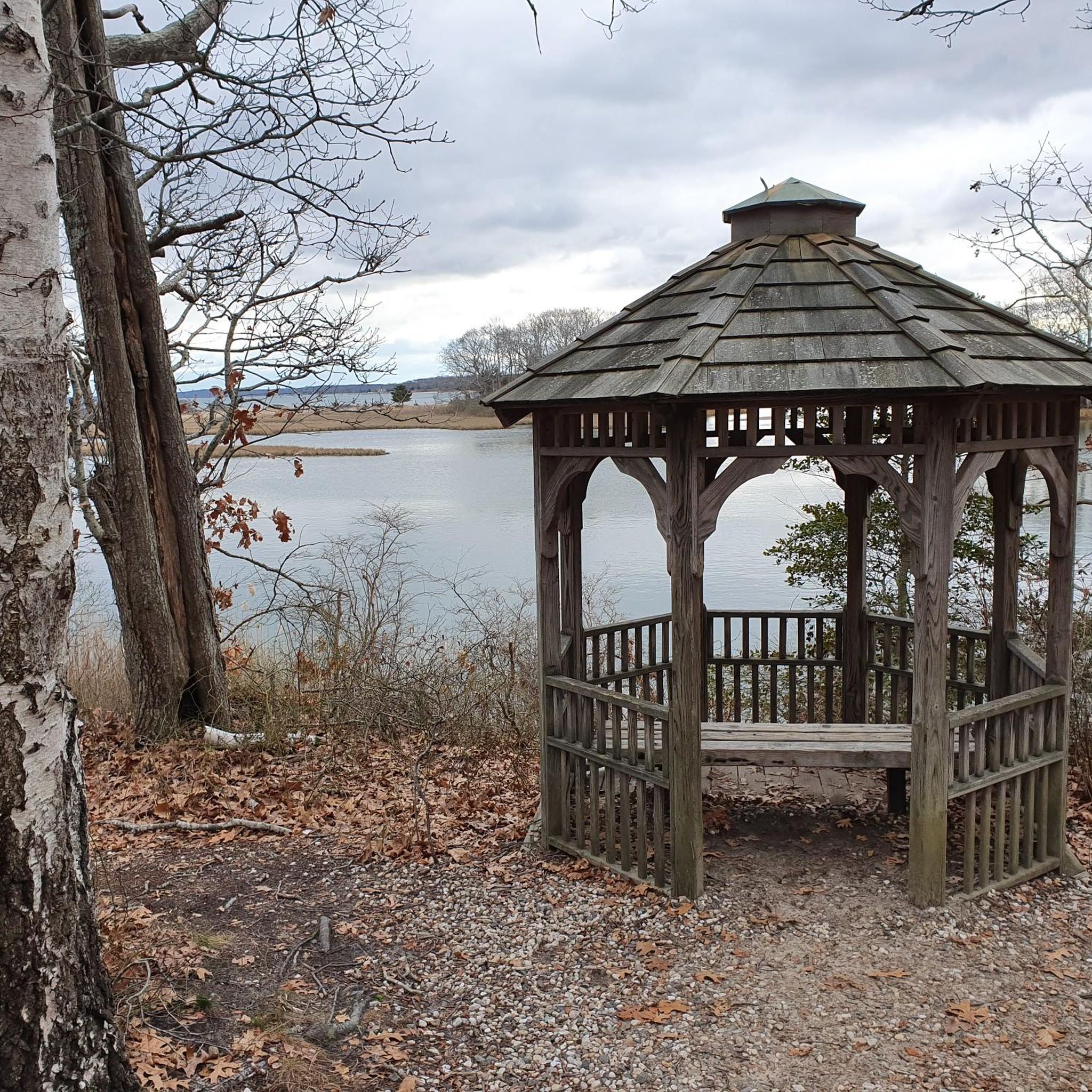
Nicoll's Creen is a marshy bay, part of Mashomack Preserve. This area is great for birdwatching and a scenic spot for a break.
0
0

Nestled on Shelter Island, Mashomack Preserve is a 2,039-acre natural wonderland. It features diverse ecosystems from woodlands to tidal creeks, offering picturesque trails for hikers. Rich in biodiversity, it's a haven for birdwatchers and nature enthusiasts, showcasing the beauty of Long Island's wildlife.
0
0
Cedar Point County Park, a 607-acre park, offers amazing views of Gardiners Bay and features the decommissioned Cedar Island Lighthouse. Owned by Suffolk County, the park has individual and organized group camping areas. It is dog-friendly, with pets required to be leashed.
0
0
Follow the coast on the picturesque Northwest Path that meanders around Cedar Point County Park. Enjoy seaside bluffs and woods, but be aware of bugs in the summer and ticks.
0
0

The park's name, "Mashashimuet," derives from the Algonquin word meaning "Place of the Great Springs." Native Americans used the area for hunting, fishing, and gathering for centuries before European settlers arrived. It remains a vital center for the local community. It hosts various celebrations, festivals, and cultural events throughout the year.
0
0

Sag Harbor is a picturesque village on the East End of Long Island, New York. It boasts a rich maritime history dating back to the 18th and 19th centuries and served as a vital port for whaling and shipping industries. With historic landmarks like the Old Whaler's Church and the Sag Harbor Whaling and Historical Museum, the village preserves its seafaring heritage. The scenic waterfront is dotted with boats and surrounded by historic architecture, adding to the village's charm. Sag Harbor also has theaters, galleries, local shops, and great restaurants and coffee shops making it an awesome place to relax after a long ride.
0
0
Frequently Asked Questions
How many running routes are available on Shelter Island?
Shelter Island offers a wide selection of running routes, with over 35 different options to explore. These routes vary in length and difficulty, ensuring there's something for every runner.
Are there easy running routes suitable for beginners on Shelter Island?
Yes, Shelter Island has several easy running routes perfect for beginners or those looking for a more relaxed pace. There are at least 3 routes categorized as easy, with many moderate options also being accessible due to the island's generally flat terrain. For example, the Long Pond Greenbelt Trail is a moderate 5.0-mile path that leads through varied landscapes including freshwater marshes and wooded areas, offering a pleasant experience.
Can I find loop running routes on Shelter Island?
Absolutely. Many of Shelter Island's running paths are designed as loops, allowing you to start and end in the same location. A popular example is the Joan C. Coles, Red, Yellow, Blue and Green Trail loop, an 8.2-mile route that explores diverse habitats including woodlands and coastal sections.
Are the running trails on Shelter Island dog-friendly?
While many areas on Shelter Island are welcoming to dogs, it's important to note specific restrictions. For instance, Mashomack Preserve, a significant natural area, explicitly states "no dogs, bikes or jogging here" within the preserve itself. However, other preserves and many of the island's roads and pathways are generally dog-friendly. Always check local signage or specific trail rules before heading out with your canine companion.
What kind of scenery can I expect on Shelter Island's running paths?
Shelter Island offers incredibly diverse scenery for runners. You can expect to encounter protected wetlands, dense woodlands, scenic coastlines, and open fields. Routes often wind through oak and beech forests, past tidal creeks, and along sandy beaches like Crescent Beach or Hay Beach, providing stunning views of the surrounding waters.
Are there any historical landmarks or points of interest along the running routes?
Yes, Shelter Island is rich in history and natural beauty. While running, you might pass by areas like Shelter Island Heights, a historic district. Other nearby attractions include the Gardiner Windmill and Rev. Thomas James Homesite, offering glimpses into the island's past. Many routes also traverse various preserves, each with its unique natural features.
What do other runners say about the trails on Shelter Island?
The running routes on Shelter Island are highly regarded by the komoot community, boasting an average score of 4.5 stars from over 3 reviews. More than 130 runners have used komoot to explore the island's varied terrain, often praising the tranquil environment, diverse ecosystems, and well-maintained paths.
Are there less crowded running options for a peaceful experience?
For a more peaceful experience, consider exploring some of the island's smaller preserves or less-trafficked roads. Mashomack Preserve, despite its restrictions, offers a vast network of trails that can feel secluded. Sachem's Woods, with its quiet loop through an oak and beech forest, is another excellent choice for a serene run away from the main thoroughfares.
Is parking available near the running routes on Shelter Island?
Yes, parking is generally available near many of Shelter Island's running routes and preserves. Specific parking areas are often designated at trailheads for places like Mashomack Preserve, Sylvester Manor Educational Farm, and Dickerson Park. When planning your run, it's advisable to check the starting point of your chosen route for nearby parking facilities.
What is the best time of year to go running on Shelter Island?
Shelter Island offers enjoyable running conditions throughout much of the year. Spring and fall provide pleasant temperatures and beautiful foliage, making them ideal. Summer can be warm, but coastal breezes and shaded woodland trails offer relief. Even winter running can be scenic, with fewer crowds and crisp air, though some trails might be less maintained.
Are there any running routes that offer views of the coastline or water?
Absolutely! With 20 miles of coastline, Shelter Island provides numerous opportunities for runs with stunning water views. Routes often lead to or along beaches like Crescent Beach (Sunset Beach), Shell Beach, and Hay Beach. The Cedar Point Lighthouse Loop Trail, for example, leads through coastal woodlands, offering glimpses of the surrounding waters.
Are there any routes suitable for longer runs on Shelter Island?
Yes, Shelter Island has routes that cater to longer distances. The Joan C. Coles, Red, Yellow, Blue and Green Trail loop is a substantial 8.2 miles (13.1 km) route. Additionally, the island's network of roads and interconnected preserves allows for custom longer runs by linking different sections.
Most popular attractions around Shelter Island

Get inspired with the komoot mobile app


Explore more
Browse the best Running Trails & Routes in other regions.
