The 8 Most Amazing Peaks around Bingen am Rhein
Best mountain peaks around Bingen am Rhein are situated in a region characterized by scenic river valleys and vineyards, at the southern end of the UNESCO Rhine Gorge World Heritage Site. This area offers elevated peaks and hills that provide opportunities for recreation and views. The broader region is part of the UNESCO World Heritage Upper Middle Rhine Valley, featuring diverse landscapes including forests and geological formations. These peaks are significant local landmarks, offering various features for visitors.
Best mountain peaks around Bingen am Rhein
- The most popular mountain peaks is Kalte Herberge – Highest Mountain of the Rheingau, a summit that is the highest mountain in the Rheingau at 619 meters above sea level. A view has opened up due to a wind break and subsequent clearing.
- Another must-see spot is Hallgarter Zange Observation Tower & Viewpoint, a viewpoint known for its observation tower and impressive views. It offers great routes for exploration.
- Visitors also love Salzkopf Tower, a viewpoint with a tower providing panoramic views. After climbing approximately 100 steps, visitors can enjoy views of the Hunsrück, Taunus, and the Middle Rhine Valley.
- Bingen am Rhein is known for summits, viewpoints, and observation towers. These include prominent peaks like Salzkopf and Kalte Herberge, offering diverse features and natural landscapes.
- The mountain peaks around Bingen am Rhein are appreciated by the komoot community. There are more than 500 photos and over 600 upvotes from visitors.
Last updated: July 7, 2026
Salzkopf Tower
Highlight • Viewpoint
Translated by Google •
Tip by

Kalte Herberge – Highest Mountain of the Rheingau
Highlight • Summit
Translated by Google •
Tip by

Sign up now to discover places like this
Get recommendations on the best single tracks, peaks, & plenty of other exciting outdoor places.
Sign up for free
Franzosenkopf
Highlight • Summit
Several deforested parcels provide a little view of the Middle Rhine Valley.
But the large windthrow area east of the summit is more interesting.
Translated by Google •
Tip by

Hallgarter Zange Observation Tower & Viewpoint
Highlight • Viewpoint
Translated by Google •
Tip by

Zotzenheimer Horn Viewpoint
Highlight • Viewpoint
Translated by Google •
Tip by

Sign up for free to discover even more peaks around Bingen am Rhein.
Sign up for free
Already have an account?
Start today with a free account
Your next adventure awaits.
Login or Signup
Popular around Bingen am Rhein
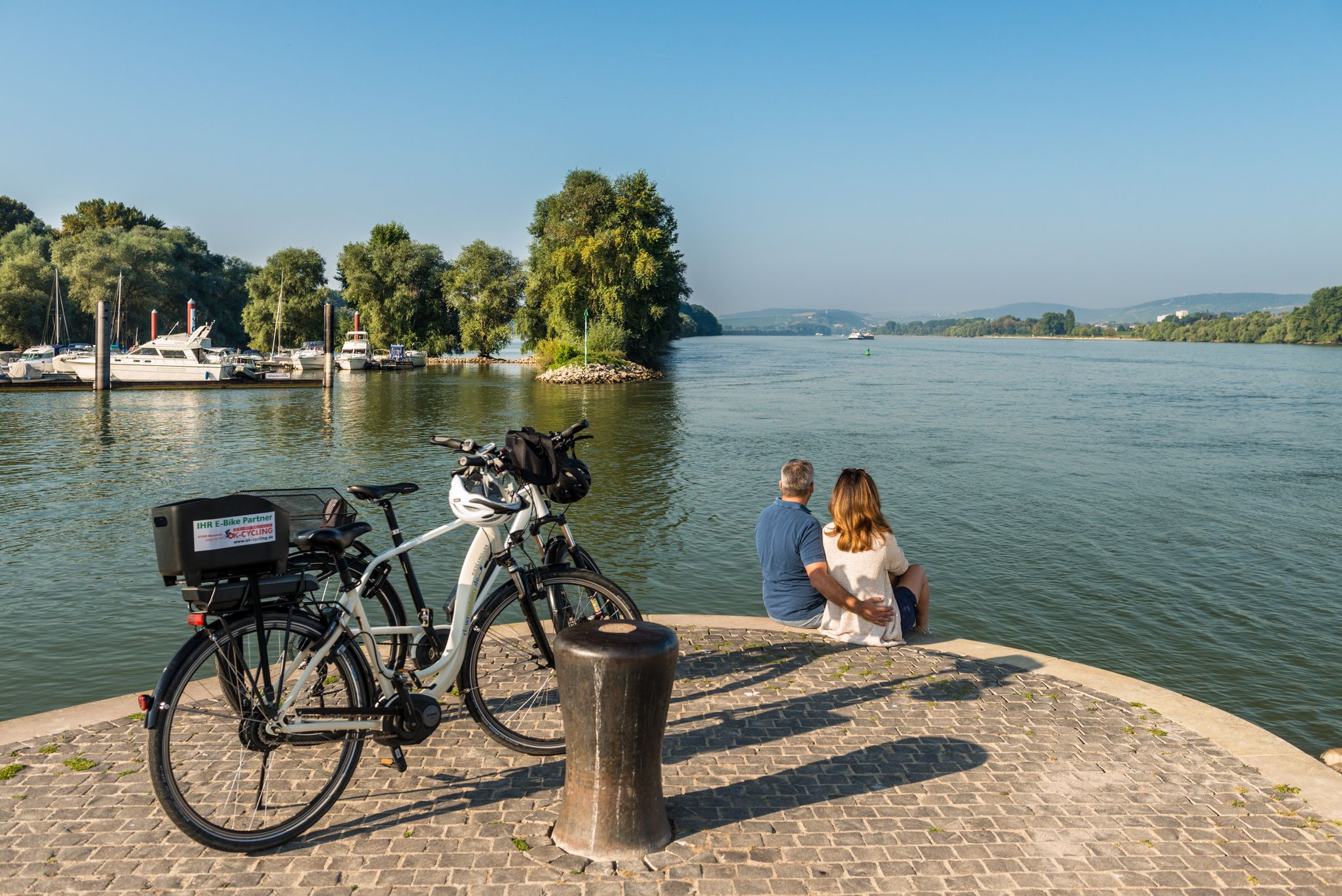
Cycling in Rheinhessen between Rhine and wine
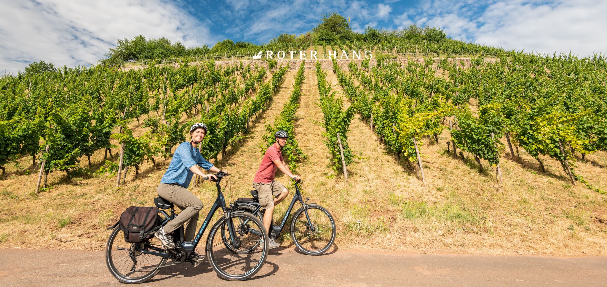
From the city to a sea of vines – cycling Tours in Rheinhessen

Out into spring – glorious hikes with the RMV
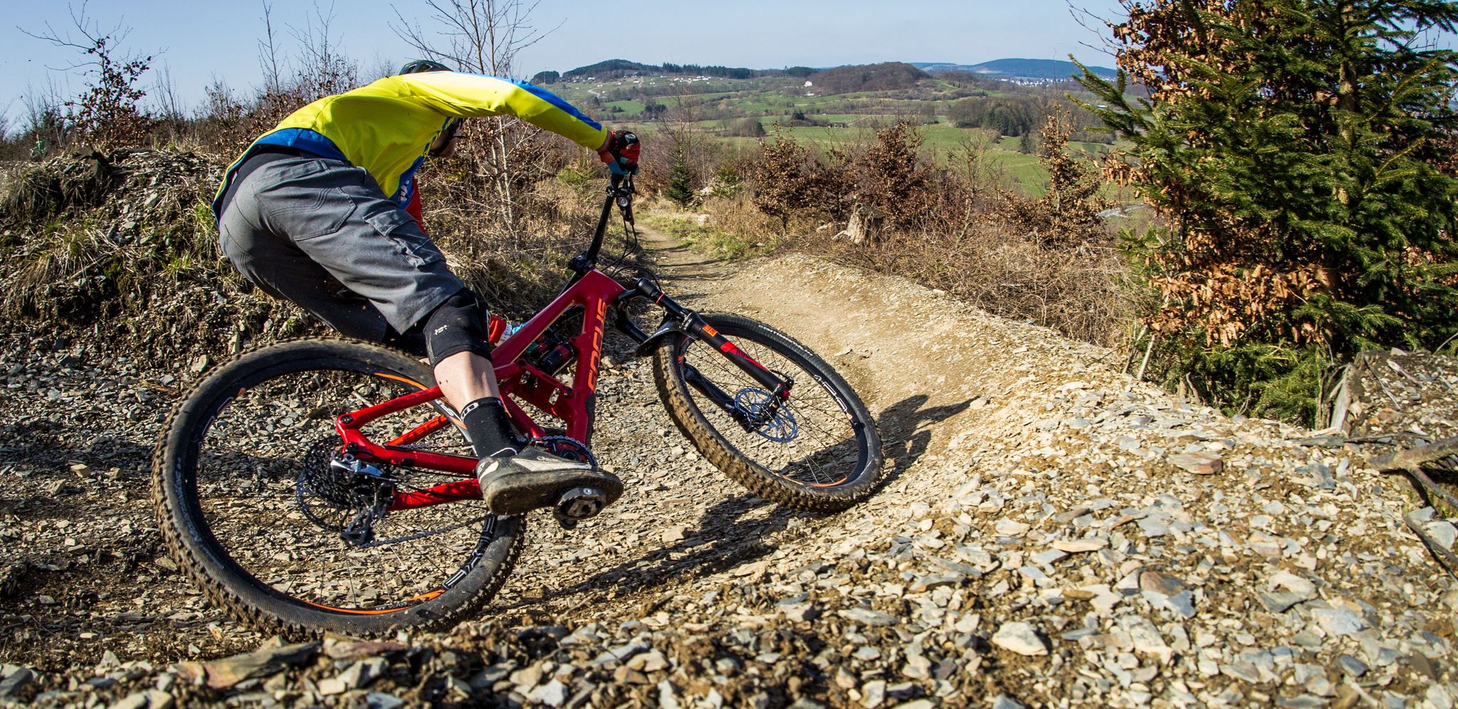
Flow Rider — trail fun for everyone
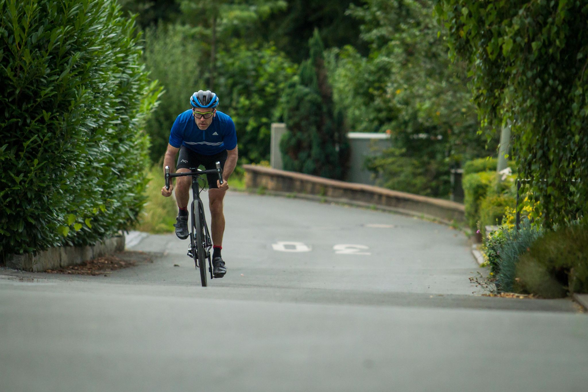
Who needs the Alps? 8 great climbs around Germany
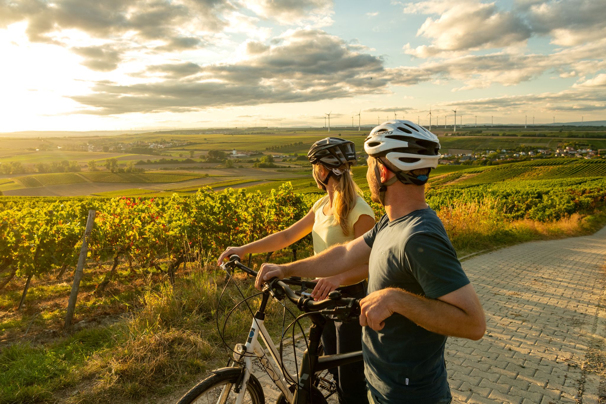
Rheinhessen mit Aussicht - Die schönsten Panoramatouren in Rheinhessen
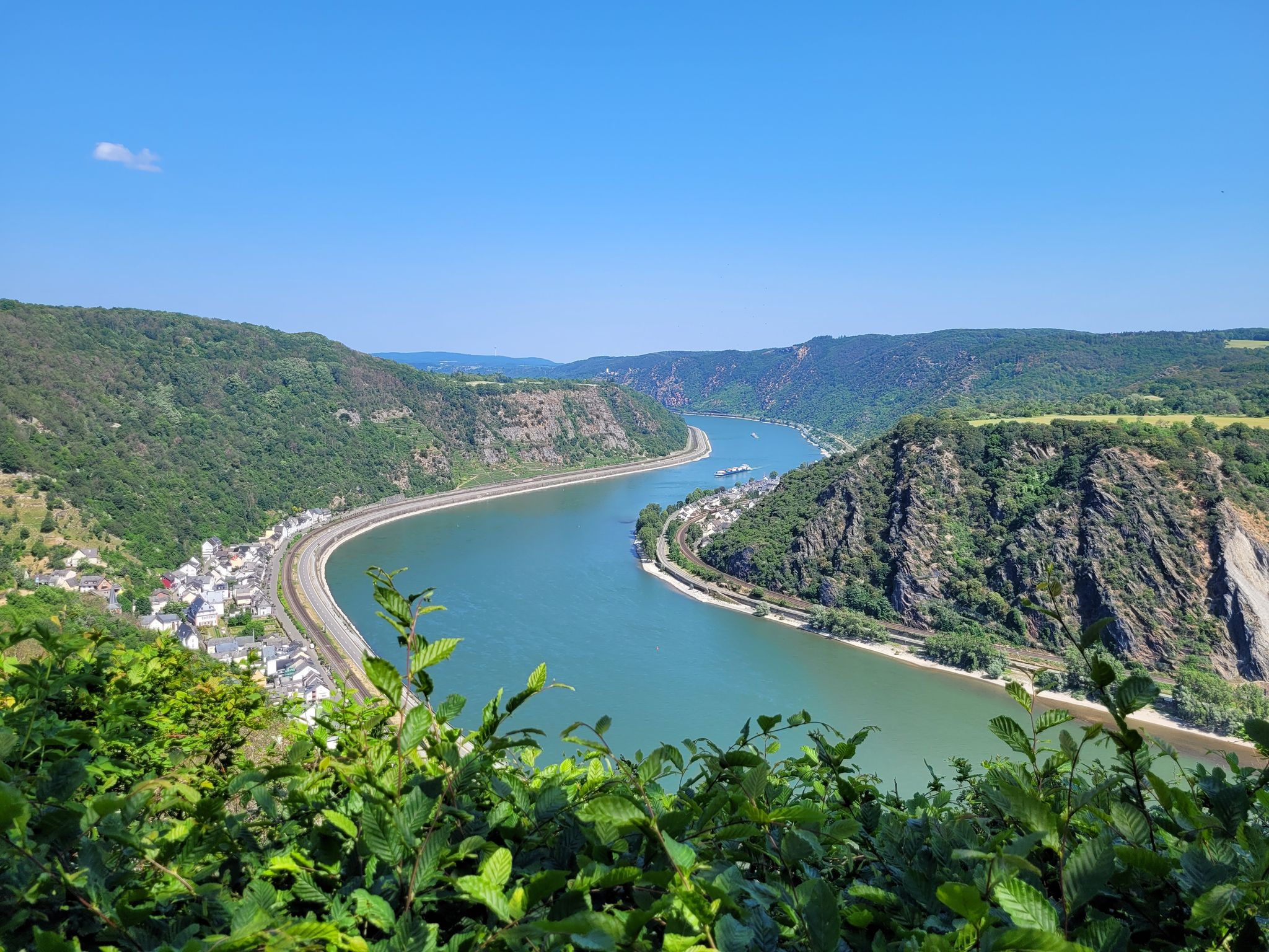
Welterbesteig Oberes Mittelrheintal
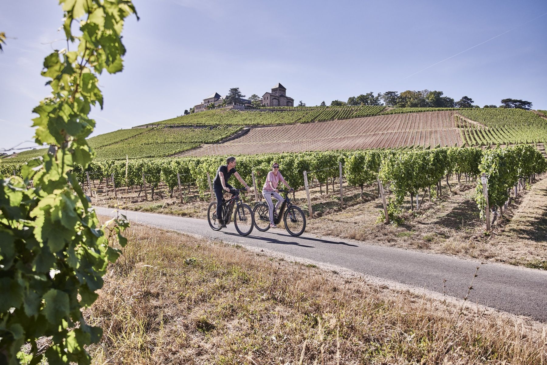
Wald, Wein und Weite – Genussvolle Radrouten im Rheingau
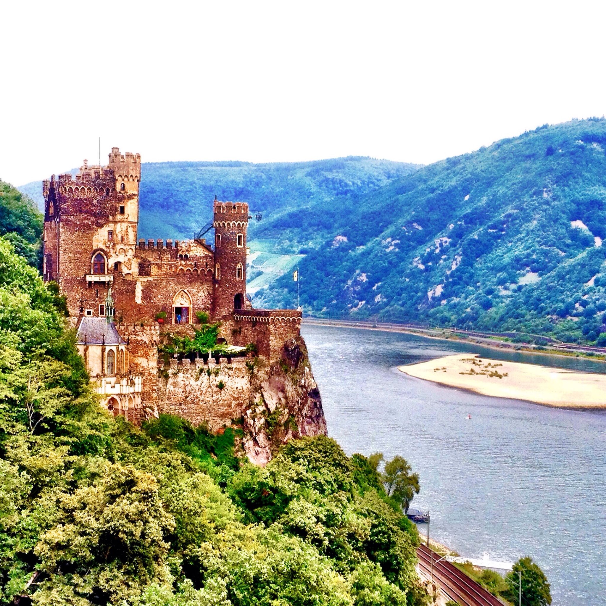
Cycling around Bingen am Rhein
Hiking around Bingen am Rhein
Other adventures around Bingen am Rhein


Tips from the Community

As the name suggests, it was the westernmost location of the Franconians in the past. But riding up it on a mountain bike is an experience. 550 meters of elevation gain in one go from Niederheimbach. It's also ideal for runners for a good workout. And also for hikers for the unique views of and across the Rhine.
0
0

beautiful vantage point for a winter hike in the snow
0
0

Panorama and free binoculars Lots of space, little shade
1
0


Just beautiful - sufficient rest areas and a fantastic view
1
0

Not passable for a long time. Finally everything was cleared again. :)
1
0

That's the "Bald Hostel". 😎
1
0

Unfortunately, the tower is closed ⛔ No sign explaining why...
5
0
Frequently Asked Questions
Which mountain peaks around Bingen am Rhein offer the best panoramic views?
For expansive panoramic views, the Salzkopf Tower on Salzkopf is highly recommended. After climbing about 100 steps, you can enjoy views of the Hunsrück, Taunus, and the Middle Rhine Valley. The Hallgarter Zange Observation Tower & Viewpoint also offers impressive vistas. Additionally, the View of the Rhine and Bingen from the Prinzenkopf provides wonderful views towards Assmannshausen and Rüdesheim.
Are there any family-friendly mountain peaks or trails in the Bingen am Rhein area?
Yes, the area offers options suitable for families. The Prinzenkopf viewpoint is considered family-friendly and features a nice rest area with benches and a shelter. For an easy hiking loop with views, consider the trail that includes Scharlachkopf and the Rochus Chapel, which is accessible for a wider range of visitors.
What is the highest mountain in the Rheingau region near Bingen am Rhein?
The highest mountain in the Rheingau is Kalte Herberge, standing at 619 meters above sea level. While historically its summit view was limited, recent clearing due to windbreak has opened up new vistas, making it more appealing for panoramic scenes.
What kind of hiking opportunities are available near the mountain peaks of Bingen am Rhein?
The region around Bingen am Rhein is crisscrossed with numerous hiking trails, ranging from easy walks to more challenging routes. You can find a variety of options, including sections of the RheinBurgenWeg and Rhein-Nahe Wine Trail. For specific easy hikes, you can explore routes like the 'View from Scharlachkopf – Rochusberg Observation Tower loop' or 'Rochus Chapel – View of the Rhine River loop'. More options are available in the Easy hikes around Bingen am Rhein guide.
What natural features can I expect to see when visiting the peaks around Bingen am Rhein?
Visitors can immerse themselves in diverse landscapes, including dense forests, expansive vineyards, and unique geological formations. The Bingen Forest Adventure Trail, for example, highlights the natural features of the local forest. From many peaks, you'll also see the Rhine River and surrounding valleys.
Are there any historical or cultural landmarks associated with these mountain peaks?
Yes, the broader region is part of the UNESCO World Heritage Upper Middle Rhine Valley, rich in castles and historical sites that can often be viewed from these elevated points. For instance, the easy hiking loop around Scharlachkopf includes the historic Rochus Chapel. The Kalte Herberge also has historical significance as the highest point in the Rheingau.
What do visitors enjoy most about the mountain peaks around Bingen am Rhein?
Visitors particularly appreciate the stunning panoramic views of the Rhine River, surrounding valleys, and distant regions like the Hunsrück and Taunus. The variety of hiking opportunities, from easy walks to more challenging routes, and the chance to immerse oneself in diverse natural landscapes, are also highly valued. The community has shared over 500 photos and given more than 600 upvotes for these peaks.
Can I find other outdoor activities besides hiking near the peaks?
Absolutely. Besides hiking, the area around Bingen am Rhein offers excellent opportunities for road cycling and running. You can find various routes, such as the 'Dike Path – Sheep pasture by the Rhine loop' for road cycling, or the 'View of Niederwalddenkmal – Rhine-Nahe-Eck loop' for running. Explore more options in the Road Cycling Routes around Bingen am Rhein and Running Trails around Bingen am Rhein guides.
What is special about Franzosenkopf?
The Franzosenkopf, at 618 meters, is marked by a stone stele and a single rest bench. While the immediate summit might not be spectacular, deforested areas offer glimpses of the Middle Rhine Valley, and a large windthrow area east of the summit presents an interesting natural feature for those exploring the Bingen Forest.
Is the Salzkopf Tower accessible in all weather conditions?
The Salzkopf Tower has a roof, which makes it a suitable destination even in rainy weather. However, it's important to note that the tower has undergone renovations, so checking its current accessibility status before your visit is advisable.
Are there any easy hiking routes that include a prominent local mountain?
Yes, Scharlachkopf, which is the most prominent mountain in the Landkreis Mainz-Bingen area, is featured in an easy hiking loop. This route often includes the Rochus Chapel, making it a pleasant and accessible walk with views for a wide range of visitors.
Most popular routes around Bingen am Rhein
Most popular attractions around Bingen am Rhein

Get inspired with the komoot mobile app


Explore more
See even more amazing summits around Bingen am Rhein with these guides:
