The best cycling routes around South St. Paul
4.5
(152)
1,294
riders
112
rides
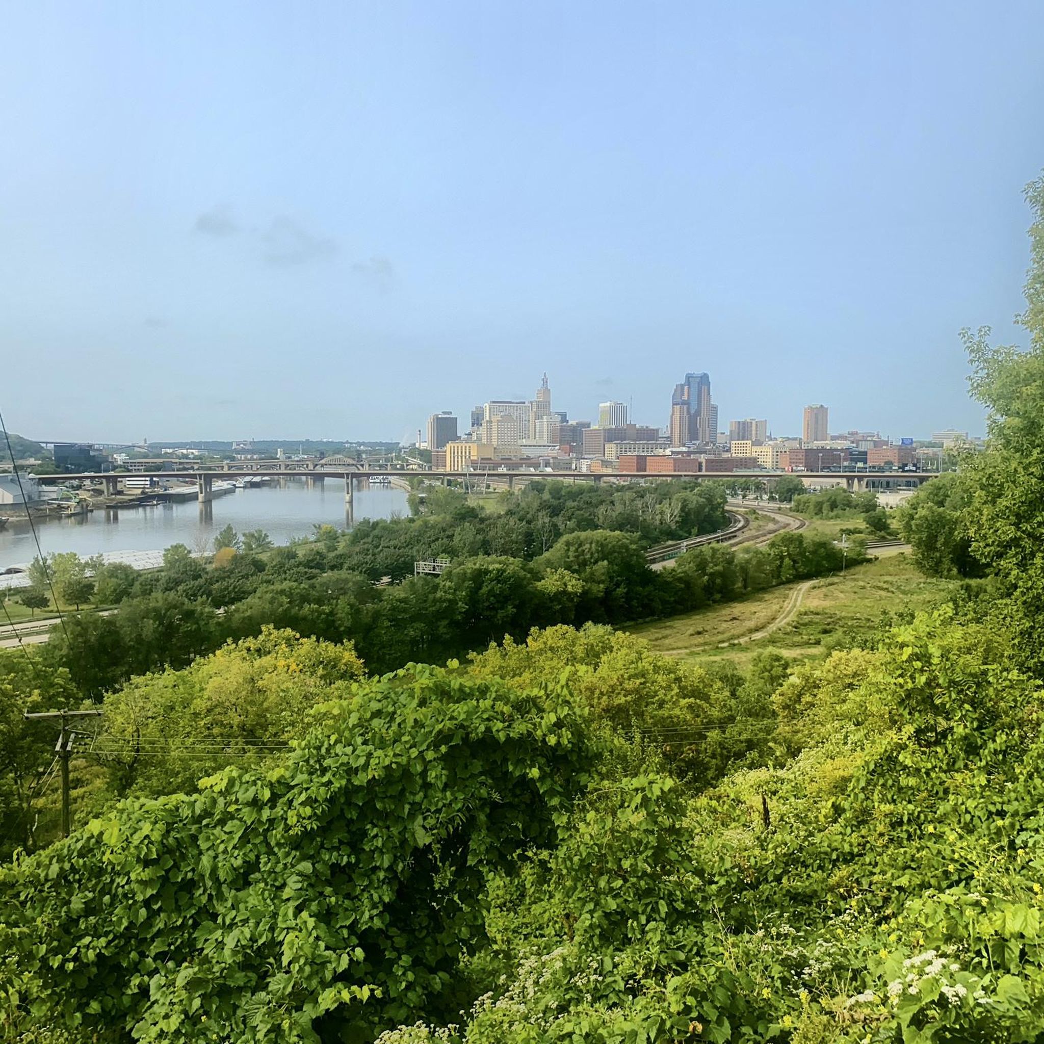
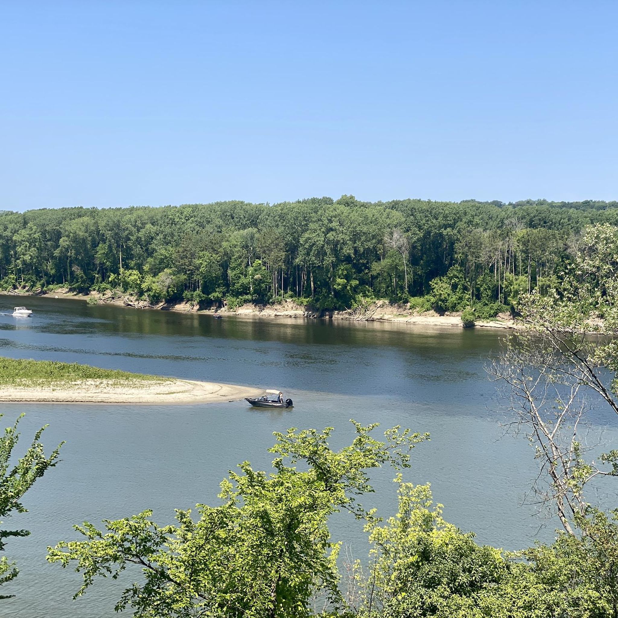
Touring cycling routes around South St. Paul are characterized by their direct engagement with the Mississippi River, offering scenic riverfront landscapes and access to extensive trail networks. The area features a diverse terrain, including bluffs, woodlands, and wetlands, particularly within its numerous parks. These interconnected paths provide a variety of experiences, from paved river trails to routes through natural park settings.
Best touring cycling routes around South St. Paul
- The most popular touring cycling route is Mississippi River Trail Loop, a 24.5 miles (39.5 km) trail that takes 2 hours 23 minutes to complete. This route offers extensive views along the Mississippi River shoreline.
- Another top favourite among local touring cyclists is Mississippi River Greenway, an easy 11.6 miles (18.7 km) path. This trail provides direct access to the riverfront, connecting various points along the Mississippi.
- Local touring cyclists also love the Battle Creek Park Loop, a 7.8 miles (12.6 km) trail leading through woods and wetlands with scenic bluffs, often completed in about 45 minutes.
- Touring cycling around South St. Paul is defined by the Mississippi River, extensive park systems, and varied terrain including bluffs and woodlands. The network offers options for different ability levels, from easy riverfront rides to more moderate loops.
- The routes in South St. Paul are highly rated by the komoot community with an average score of 4.5 stars from over 100 reviews. More than 1000 touring cyclists have used komoot to explore South St. Paul's varied terrain.
Last updated: June 29, 2026
4.8
(13)
89
riders
39.5km
02:23
280m
280m
The Mississippi River Trail Loop offers a fantastic touring cycling experience, guiding you through a diverse urban landscape alongside the iconic Mississippi River. You'll enjoy well-maintained paths, passing by significant natural landmarks like the Confluence of the Mississippi and Minnesota Rivers, and can take in panoramic views from the Fort Snelling Scenic Overlook. This moderate route covers 24.5 miles (39.5 km) with 925 feet (282 metres) of elevation gain, providing a good workout without being overly demanding.
Expect to spend around 2 hours and 23 minutes completing the loop, making it a great option for a half-day adventure. Access is generally straightforward, with various entry points along the route, including facilities at Harriet Island Regional Park. For the most comfortable ride, plan your visit during the spring or fall when temperatures are mild and the scenery is vibrant.
This trail is a highlight for anyone looking to combine city exploration with natural beauty, offering a unique perspective on the Twin Cities' riverfront. It's an excellent choice for cyclists seeking a moderate challenge and scenic viewpoints, providing a comprehensive experience of the Mississippi River's urban stretch.
5.0
(2)
15
riders
18.7km
01:05
30m
30m
Embark on an easy touring bicycle ride along the Mississippi River Greenway, a paved, off-road path stretching 11.6 miles (18.7 km). You will experience minimal climbing, with a gentle elevation gain of just 101 feet (31 metres), making it suitable for all skill levels. The route offers expansive views of the majestic Mississippi River, guiding you through serene woodlands and open areas vibrant with wildflowers, especially during summer. Keep an eye out for local wildlife, such as painted and snapping turtles, often seen in the ponds along the way. A notable feature is the historic Railroad Swing Bridge, providing a unique vantage point over the river where natural beauty meets urban infrastructure. This ride typically takes about 1 hour and 5 minutes to complete at a steady pace.
Planning your visit is straightforward, as the Mississippi River Greenway is well-equipped for cyclists. You will find multiple trailheads that offer convenient parking and accessible bathrooms, making it easy to start your adventure. The trail is generally open year-round, but the best time to experience the wildflowers is from mid to late summer. Consider an early morning or late afternoon ride for cooler temperatures and softer light. No permits or fees are required to access this scenic route.
This greenway stands out as a crucial segment of the larger Mississippi River Trail system, connecting you to various other regional trails. Its unique blend of natural riverine landscapes and glimpses of urban history, like the Railroad Swing Bridge, offers a distinct experience. The trail's flat, accessible terrain and well-maintained surface make it a perfect choice for a relaxed outing, allowing you to fully immerse yourself in the riverside environment and its diverse ecosystems.

Sign up for free
3
riders
12.6km
00:45
100m
110m
Cycle the easy 7.8-mile Battle Creek Park Loop, a touring route through woods and wetlands with scenic bluffs and wildlife in St. Paul.
1
riders
42.8km
02:46
280m
280m
Embark on a moderate touring cycling adventure along the River to River Greenway and Mendota Trail loop, a 26.6-mile (42.8 km) route that offers scenic views of rivers, lakes, and natural corridors. You will gain 926 feet (282 metres) of elevation, typically completing the ride in about 2 hours and 46 minutes. As you cycle, you will pass through wooded ravines and parks, including Kaposia Park and Thompson County Park, providing a refreshing natural escape within an urban setting.
Planning your visit is straightforward, as the greenway is primarily paved with asphalt and concrete, ensuring a smooth ride, though some sections might be bumpy. Parking is generally available at various access points along the greenway, such as the MN River Greenway - Cedar Nichols Trailhead. Always remember to check local signage for specific parking regulations and availability before you head out.
This route highlights the River to River Greenway and its connecting paths within Minnesota, offering a unique opportunity to explore the local area by bike. It provides a blend of urban accessibility and natural beauty, making it a notable option for cyclists looking for a substantial yet manageable ride through diverse landscapes.
5.0
(2)
11
riders
25.5km
01:31
170m
170m
Moderate bike ride. Good fitness required. Mostly paved surfaces. Suitable for all skill levels.
Get access to more routes and recommendations from other explorers.
Sign up for free
Already have an account?
Our route recommendations are based on thousands of hikes, rides, and runs completed by other people on komoot.
Start today with a free account
Your next adventure awaits.
Login or Signup
Tips from the Community

Holman Field in Saint Paul began in 1926, when the city developed the former Riverview Flats lake bed into the Saint Paul Municipal Airport to secure a nearby airmail route. It quickly became the Twin Cities’ main commercial airport and the home base of Northwest Airways, which launched its first passenger flight from St. Paul to Chicago in 1927. In 1931, the airport was renamed Holman Field in honor of Charles “Speed” Holman, a renowned local pilot and record-setting stunt flyer who was Northwest’s first hire and later its operations manager. During the 1930s, the WPA built the historic Administration Building, now on the National Register of Historic Places and home to Holman’s Table restaurant. In World War II, the field served as a major Modification Center where Northwest employees reconfigured thousands of B-24 bombers for the U.S. Army. After the war, commercial air service shifted to what became MSP, and Holman Field evolved into the Twin Cities’ primary corporate and general aviation reliever airport.
4
0

This is a pretty big park that has lots of features, mountain bike trails, paved trails, ballfields, playgrounds, goes for blocks.
1
0
Park with playgrounds, dog park, ballfields, bike paths, etc.
0
0
Interesting bridge they can swing out of the way to let boats through.
1
0
Nice river views from the bike path.
0
0
Not sure what these were used for, guessing they were originally for the railroad.
1
0
Frequently Asked Questions
What do other touring cyclists enjoy about the routes around South St. Paul?
The touring cycling routes around South St. Paul are highly rated by the komoot community, with an average score of 4.5 stars from over 100 reviews. Cyclists frequently praise the scenic riverfront landscapes, access to extensive trail networks, and the diverse terrain found within the numerous parks, offering a mix of urban and natural experiences.
Are there touring cycling routes suitable for beginners or those looking for easy rides?
Yes, South St. Paul offers a good selection of easy touring cycling routes. Approximately 46 routes are classified as easy, providing accessible options for all skill levels. A great example is the Mississippi River Greenway, an 11.6-mile path that offers direct access to the riverfront with minimal elevation changes.
What kind of landscapes and attractions can I expect to see along the touring cycling routes?
The routes in South St. Paul primarily feature the Mississippi River shoreline, offering scenic river views. You'll also cycle through extensive park systems like Kaposia Park and Battle Creek Regional Park, which boast woodlands, wetlands, and bluffs. Notable attractions in the wider area include the Confluence of the Mississippi and Minnesota Rivers, Lake Phalen, and Como Lake, which can be accessed via interconnected trail networks.
Are there any circular touring cycling routes in South St. Paul?
Yes, there are several excellent circular routes. A popular choice is the Mississippi River Trail Loop, which spans 24.5 miles and offers extensive views along the river. Another option is the Battle Creek Park Loop, a 7.8-mile trail through woods and wetlands with scenic bluffs.
Can I bring my dog on the touring cycling trails in South St. Paul?
Many parks and trails in South St. Paul, including sections of the Mississippi River Trail and Kaposia Landing Park, are dog-friendly. However, it's always best to check specific park regulations for leash requirements and any restricted areas. Generally, dogs should be kept on a leash and waste should be picked up.
What is the best time of year to go touring cycling in South St. Paul?
The best time for touring cycling in South St. Paul is typically during the spring, summer, and fall months. These seasons offer pleasant temperatures and vibrant natural scenery. While some trails may be open in winter, conditions can vary with snow and ice, so it's advisable to check local trail conditions before heading out.
Are there family-friendly touring cycling options in South St. Paul?
Absolutely. The extensive and interconnected trail networks, particularly along the Mississippi River and within parks like Kaposia Park, offer many family-friendly sections. These often feature paved surfaces and relatively flat terrain, making them suitable for cyclists of all ages. Simon's Ravine within Kaposia Park, for instance, offers family-friendly paths with river views.
How can I access the touring cycling trails using public transport?
South St. Paul's trail networks, including the Mississippi River Trail and River to River Greenway, are generally accessible via public transportation, particularly through the Metro Transit system serving the wider Twin Cities area. Specific bus routes may have stops near trailheads or major parks. For detailed planning, it's recommended to consult the Metro Transit website for routes and schedules.
Where can I find parking near the touring cycling routes?
Parking is available at various access points along the major trail networks and within the city's parks. Kaposia Park, a significant access point for the Mississippi River Trail, offers parking facilities. Other parks like Battle Creek Regional Park and Thompson County Park also provide designated parking areas for trail users.
Do I need a permit to bike on the trails in South St. Paul?
Generally, a permit is not required for casual touring cycling on most public trails and park paths in South St. Paul. However, for specific regional trails or state parks that connect to the city's network, a Minnesota State Parks and Trails vehicle permit might be necessary if you are parking within those designated areas. It's always wise to check the specific requirements for any particular trail segment you plan to use, especially if venturing into larger regional or state park systems.
Are there any longer touring cycling routes for experienced riders?
For more experienced riders seeking longer distances, routes like the Mississippi River Trail Loop (24.5 miles) and the River to River Greenway and Mendota Trail loop (over 26 miles) offer moderate challenges with varied terrain and elevation changes. These routes connect to broader regional networks, allowing for extended touring adventures.
Where can I find places to eat or stay near the cycling trails?
South St. Paul and its surrounding areas offer various cafes, pubs, and accommodation options. Many establishments are located within a short distance of the main trail networks, particularly in the city center or along major roads. For specific recommendations, local business directories or online search engines can provide up-to-date information on dining and lodging near your chosen cycling route.
Most popular attractions around South St. Paul

Get inspired with the komoot mobile app


Explore more
Browse the best Cycling routes in other regions.
