The best cycling routes around Millis-Clicquot
4.7
(25)
135
riders
18
rides
Touring cycling around Millis-Clicquot offers a diverse landscape characterized by a mix of suburban and rural environments. The region features extensive woodlands, significant wetland areas, and riverine environments, notably along the Charles River which defines over half of Millis's border. While there are no high peaks, the terrain includes gentle hills and varied paths suitable for cycling. These natural features contribute to a scenic backdrop for outdoor activities.
Best touring cycling routes around Millis-Clicquot
- The most popular touring cycling route is Upper Charles Trail, a 15.4 miles (24.8 km) trail that takes 1 hour 30 minutes to complete. This route offers diverse surfaces and picturesque views, including Louisa Lake.
- Another top favourite among local touring cyclists is Franklin to Diamond Hill Reservoir loop, a moderate 19.2 miles (30.9 km) path. This loop provides scenic vistas of water, farm fields, and historic stone structures.
- Local touring cyclists also love the Bay Circuit Trail and Rocky Narrows Loop, a 12.3 miles (19.8 km) trail leading through varied terrain, often completed in about 1 hour 40 minutes.
- Touring cycling around Millis-Clicquot is defined by woodlands, wetlands, and the Charles River, offering a mix of suburban and rural scenery. The network provides options for different ability levels, from easy paths to moderate loops.
- The routes in Millis-Clicquot are highly rated by the komoot community with an average score of 4.5 stars from over 10 reviews. More than 160 touring cyclists have used komoot to explore Millis-Clicquot's varied terrain.
Last updated: October 18, 2026
4.2
(6)
26
riders
24.8km
01:30
100m
100m
The Upper Charles Trail invites you to an easy touring cycling adventure, covering 15.4 miles (24.8 km) with a gentle elevation gain of 321 feet (98 metres). Expect to spend about 1 hour and 29 minutes enjoying the ride. As you cycle, you'll pass through scenic woodlands and alongside tranquil waters, such as Louisa Lake, offering pleasant views and chances for wildlife spotting.
Planning your visit is simple, with amenities like parking and restrooms conveniently located at key access points along the route. For instance, Fino Field in Milford provides a good starting point with available parking. While much of the trail is flat, be prepared for varying surface conditions, including smooth asphalt, hard-packed crushed stone, and some unpaved sections.
This route stands out for its blend of natural beauty and historical elements. You can discover unique features like the Phipps Tunnel and the impressive eight-arch Bogastow Brook Viaduct, which add character to your journey. The trail offers a welcoming experience for cyclists of all levels, making it a notable option in the region for a relaxed ride.
5.0
(1)
6
riders
30.9km
01:52
230m
230m
The Franklin to Diamond Hill Reservoir loop offers a delightful touring cycling experience through classic New England scenery. You'll roll past historic stone walls, open farm fields, and catch glimpses of the Diamond Hill Reservoir, whose mica-laden rocks sparkle in the sunlight. This moderate 19.2-mile (30.9 km) route includes 768 feet (234 metres) of elevation gain, making for a good workout that takes about 1 hour and 52 minutes to complete.
To make the most of your ride, plan your visit for a clear day, perhaps in autumn to enjoy the vibrant fall foliage. While specific parking information isn't detailed, starting points in Franklin are generally accessible for cyclists. Remember to bring sufficient water, as amenities might be sparse along the route.
This loop is a local favorite for a reason, showcasing the region's charm with its blend of natural beauty and historical elements like the nearby Mount St. Mary's Abbey. It's an excellent choice if you're seeking a scenic, moderately challenging ride that captures the essence of the Massachusetts countryside.

2
riders
19.8km
01:40
180m
180m
Cycle the moderate 12.3-mile Bay Circuit Trail and Rocky Narrows Loop, gaining 592 feet with scenic river views and diverse terrain.
4.0
(2)
1
riders
3.42km
00:20
20m
20m
This easy 2.1-mile touring bicycle loop in Adams Farm Nature Reserve offers a pleasant ride with 79 feet of elevation gain.
13.1km
01:08
130m
130m
If you're looking for a peaceful touring cycling experience away from traffic, the Weston Pond to Adams Street Conservation Land loop via Fairbanks Land is a fantastic choice. This easy 8.2-mile (13.1 km) route, which takes about 1 hour and 7 minutes to complete, guides you through a delightful mix of wooded paths, conservation lands, and past ponds and aqueducts. You'll enjoy varied scenery, including the diverse ecosystems of Adams Street Conservation Land with its mature forests and old stone walls, making for a truly immersive ride.
Planning your ride is straightforward, as this loop is considered easy and suitable for most skill levels, especially for a quick outing. The trail surface is mostly paved, asphalt, and crushed stone, but be aware of some brief chip-stone sections; a gravel bike or a road bike with slightly wider tires will offer the most comfortable experience. While specific parking isn't detailed, access points to conservation lands usually have designated parking, so look for signs upon arrival.
This route stands out as one of the most popular traffic-free touring cycling options in the Weston Pond Recreation Area. It connects several conservation lands, offering a blend of natural beauty and accessible paths. You can even link up with adjacent parks like Adams Street Conservation Park and the NEMBA land to customize longer rides, exploring miles of additional trails and enjoying the local wildlife habitats.
Get access to more routes and recommendations from other explorers.
Already have an account?
Our route recommendations are based on thousands of hikes, rides, and runs completed by other people on komoot.
Start today with a free account
Your next adventure awaits.


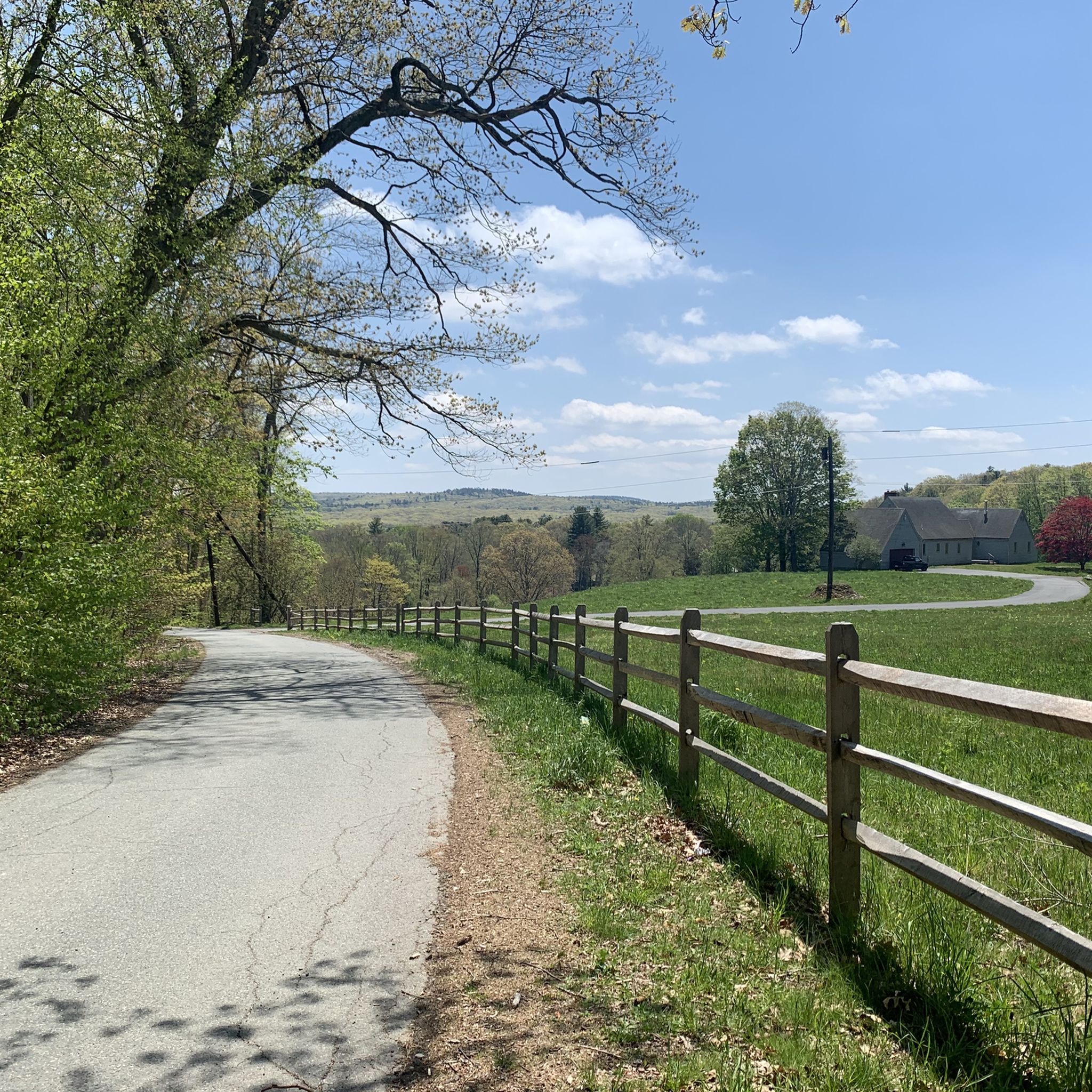
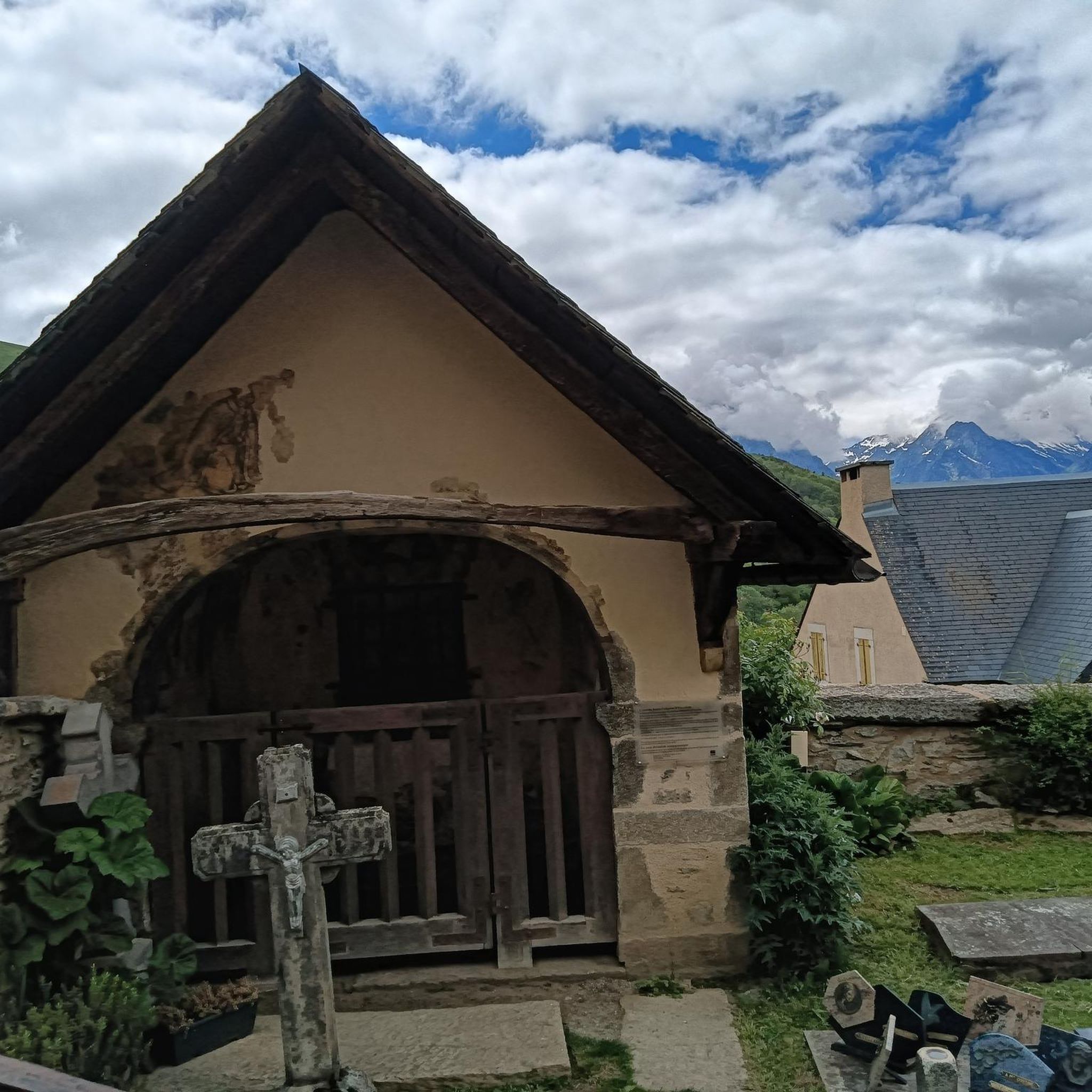

Tips from the Community

A short and totaly nice river for discovering then area.
0
0

The Charles River winds 80 miles through eastern Massachusetts, flowing past many towns before emptying into Boston Harbor. As the you cross this section of bridge on South Main Street, you are treated to a great view of the river.
0
0

Diamond Hill Reservoir, also known as the Pawtucket Upper Reservoir, is located in Cumberland, Rhode Island, near the border with Massachusetts. Constructed in 1971, the earthen dam stands 80 feet high and stretches 2,000 feet across. The reservoir covers approximately 390 acres, and is designated exclusively for drinking water purposes, so recreational activities like fishing, swimming, and boating are prohibited to maintain water quality. Despite these restrictions, the reservoir's scenic surroundings attracts many visitors; the area features rustic farmhouses, original historic stone walls, and woodland paths, making it popular among cyclists, joggers, and walkers who appreciate the picturesque landscape. Wildlife enthusiasts can observe various species, including ducks, swans, geese, blue herons, and occasionally bald eagles.
1
0

There is a bit of everything here at Louisa Lake. It is a very scenic area and along with nearby Milford Pond, it provides a great venue for a variety of recreational activities, especially bicycling. Nearby is the Upper Charles Trail, a super good cycling trail.
0
0

Adams Farm Nature Reserve is a picturesque and tranquil oasis in Walpole. With its sprawling 365-acre property, the reserve boasts an abundance of diverse wildlife and an array of scenic paths that wind through lush forests and verdant meadows. It's an ideal setting for a perfect trail run.
0
0

Diamond Hill Reservoir in Massachusetts is a scenic freshwater reservoir surrounded by lush landscapes. Popular for fishing and hiking, it offers a tranquil escape with picturesque views and recreational opportunities.
1
0
Adams Farm Nature Reserve is a serene haven in Walpole, Massachusetts, offering 365 acres of scenic trails, diverse wildlife, and peaceful landscapes. Visitors enjoy hiking, birdwatching, and nature immersion.
0
0

Louisa Lake offers a scenic haven for non-motor boating, fresh water fishing, and various recreational activities like bicycling, walking, and running.
0
0
Frequently Asked Questions
How many touring cycling routes are available in Millis-Clicquot?
There are nearly 20 touring cycling routes around Millis-Clicquot, offering a mix of easy and moderate options. Specifically, you'll find 10 easy routes and 9 moderate routes to explore the region's diverse landscapes.
What do other touring cyclists enjoy most about the routes in Millis-Clicquot?
The touring cycling routes in Millis-Clicquot are highly rated by the komoot community, with an average score of 4.5 stars from over 10 reviews. Cyclists often praise the diverse landscapes, including woodlands, wetlands, and scenic views along the Charles River, as well as the variety of paths suitable for different ability levels.
Are there easy touring cycling routes suitable for beginners in Millis-Clicquot?
Yes, Millis-Clicquot offers several easy touring cycling routes perfect for beginners. One popular option is the Upper Charles Trail, which is 15.4 miles (24.8 km) long and features diverse surfaces and picturesque views, including Louisa Lake.
Can I find more challenging touring cycling routes in the area?
For those seeking a moderate challenge, the Franklin to Diamond Hill Reservoir loop is a great choice. This 19.2-mile (30.9 km) route provides scenic vistas of water, farm fields, and historic stone structures, offering a rewarding ride through varied terrain.
Are there any circular touring cycling routes in Millis-Clicquot?
Yes, you can find several circular routes. The Bay Circuit Trail and Rocky Narrows Loop is a 12.3-mile (19.8 km) option that takes you through varied terrain. Another loop is the Weston Pond to Adams Street Conservation Land loop via Fairbanks Land, which is 13.1 km long.
What kind of natural features and landscapes can I expect to see while cycling?
Millis-Clicquot is characterized by extensive woodlands, significant wetland areas, and riverine environments, particularly along the Charles River, which defines over half of Millis's border. You'll encounter scenic views of water, farm fields, and historic stone structures. The area is also known for its wildlife, with opportunities to spot hawks, ducks, otters, muskrats, and beavers in the wetlands, including the Great Black Swamp.
Are there any specific points of interest or landmarks along the cycling routes?
Yes, several points of interest enhance the cycling experience. You might pass by the Adams Street Conservation Land, which features 1.5 miles of public trails. The King Philip's Overlook offers scenic views, and the Upper Charles Trail itself is a highlight. The region also features the scenic Hartford Street, a wooded road connecting Fork Factory Brook and Rocky Woods Reservations.
Are there family-friendly cycling options in Millis-Clicquot?
Many of the easy routes are suitable for families. The Blue Trail is a shorter, easy option at 3.4 km, providing a gentle ride. The generally flat terrain and well-maintained paths of routes like the Upper Charles Trail also make them enjoyable for families.
What is the best time of year to go touring cycling in Millis-Clicquot?
The Millis-Clicquot area is particularly scenic in autumn with spectacular tree colors and various wildflowers, making it an ideal time for cycling. Spring and summer also offer pleasant conditions for exploring the woodlands and riverine environments. Always check local weather conditions before heading out.
Are there places to stop for refreshments or explore local produce near the cycling routes?
While specific cafes directly on the trails are not prominent, the region offers local attractions like Tangerini's Spring Street Farm. This farm provides pick-your-own berries and apples, farm animals, a farm stand, and seasonal menus, making it a great stop for refreshments and local produce within a beautiful 67-acre setting with rolling fields.
Where can I find parking for the touring cycling routes?
Parking is generally available at various trailheads and conservation areas throughout Millis-Clicquot. For instance, areas like Adams Street Conservation Land and Oak Grove Park offer parking facilities. It's advisable to check specific route details on komoot for designated parking spots near your chosen starting point.
Can I access the cycling routes using public transport?
Millis-Clicquot is primarily a suburban and rural area, and direct public transport access to all trailheads might be limited. While some regional bus services operate in the broader area, planning your trip with a car or checking local transit options for specific trail access points is recommended.
Most popular attractions around Millis-Clicquot

Get inspired with the komoot mobile app


Explore more
Browse the best Cycling routes in other regions.
