The best road cycling routes around Suitland
4.2
(124)
4,161
riders
74
rides
Road cycling routes around Suitland, Maryland, are situated within the Atlantic Coastal Plain, offering terrain that is generally flat to gently rolling. The area features extensive green spaces and connected pathways, providing access to broader trail networks. Suitland's location near the Anacostia Trails Heritage Area allows for cycling along paved multi-use trails that traverse diverse ecosystems, including forests, fields, and marshes.
Best road cycling routes around Suitland
- The most popular road cycling route is Anacostia Riverwalk Trail – Anacostia Riverwalk…
Last updated: July 13, 2026
5.0
(3)
137
riders
40.4km
01:48
200m
200m
Easy road ride. Great for any fitness level. Mostly well-paved surfaces and easy to ride.
5.0
(2)
74
riders
Moderate road ride. Good fitness required. Mostly well-paved surfaces and easy to ride.

Sign up for free
4.5
(2)
45
riders
41.8km
01:52
190m
190m
Easy road ride. Great for any fitness level. Mostly well-paved surfaces and easy to ride.
13
riders
114km
05:04
870m
870m
Hard road ride. Very good fitness required. Mostly well-paved surfaces and easy to ride.
3.0
(1)
13
riders
15.4km
00:38
50m
50m
Easy road ride. Great for any fitness level. Mostly well-paved surfaces and easy to ride.
Get access to more routes and recommendations from other explorers.
Sign up for free
Already have an account?
Our route recommendations are based on thousands of hikes, rides, and runs completed by other people on komoot.
Start today with a free account
Your next adventure awaits.
Login or Signup



Tips from the Community

You should not miss this if you are visiting or living in the area
0
0

This site is famous for a very important and unfortunate event in American history: the Battle of Bladensburg during the War of 1812. You can learn about the battle, see historical markers, and understand how this event shaped the nation.
0
0

Once a working gristmill in the 1800s, Pierce Mill offers a glimpse into early Washington industry amid the woodland calm of Rock Creek Park. Today, its restored stone walls and waterwheel stand as a quiet counterpoint to the city just beyond the trees.
0
0

Peace Monument for the dead of the civil war?
1
0

The final (or beginning) mile of the C&O Canal stands here, next to the Tide Lock on the Potomac, the true birthplace of the canal. The spot is marked with a stone pillar. Stretching from Cumberland to Washington, DC, this route ends at Mile Post 0, where hikers and bikers can definitively mark the start or finish of their journey along the historic canal. The towpath follows the canal’s full 184.5 miles to its Cumberland, MD, terminus, often extending to 333 miles for those who begin in Pittsburgh on the Great Allegheny Passage (GAP) trail.
1
0

The Capital Crescent Trail follows the north shoreline of the Potomac river downstream into Washington, D.C. Currently the trail is around 7 miles long, but there is an extension planned for the near future.
0
1

This point marks the start of the 185-mile C&O Canal Towpath Trail that runs from Washington D.C. to Cumberland, Maryland. Originally built as a way for mules to tow boats along the canal, it is now converted into a multi-use trail for outdoor enthusiasts of all stripes.
1
0
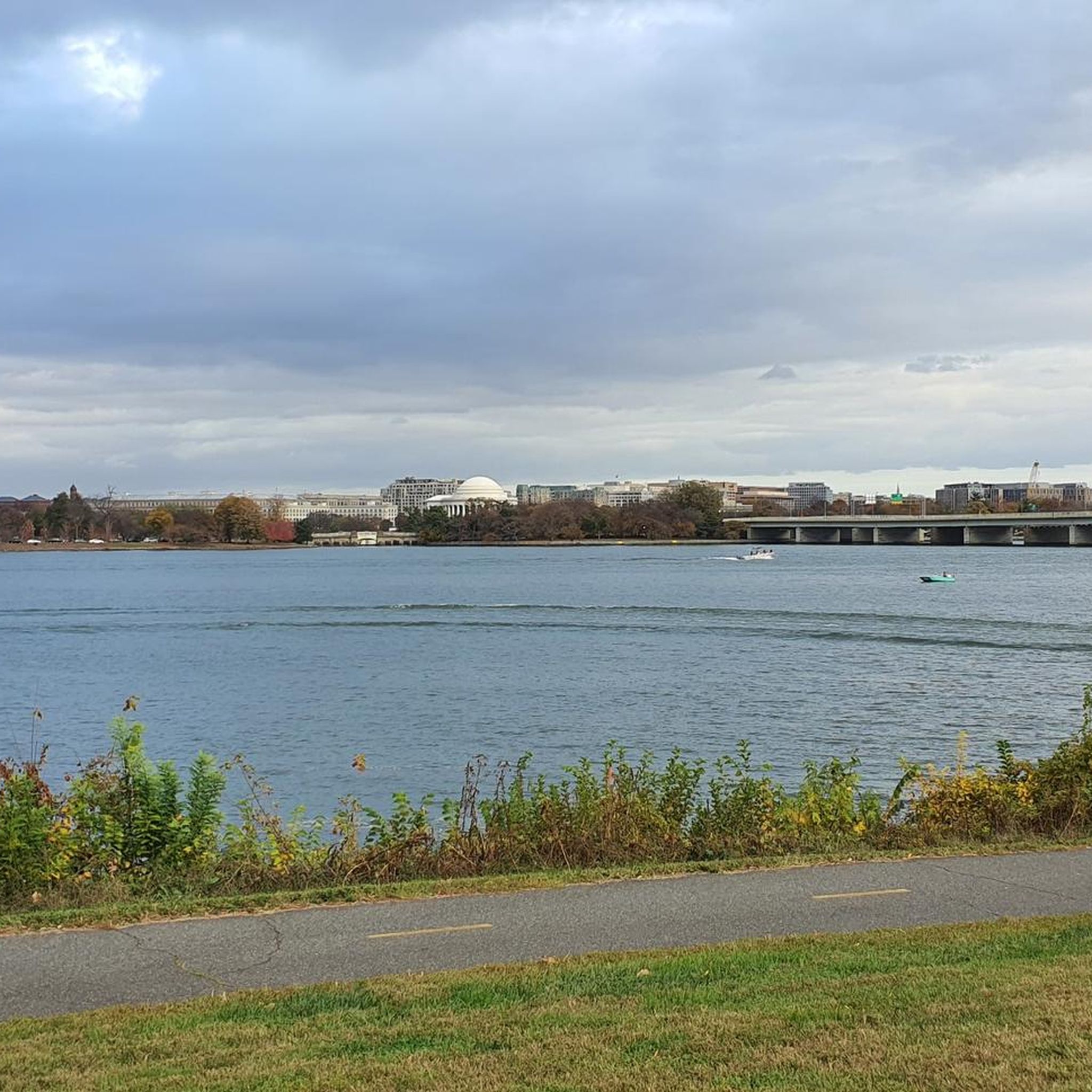
Gravelly Point Park is overseen by the Nation Park Service as it lies within the George Washington Memorial Parkway. This unique location gives visitors an amazing opportunity to see planes taking off and landing at Ronald Reagan Washington National Airport. There is also an excellent view of the Washington Monument on the other side of the Potomac.
1
0
Frequently Asked Questions
What kind of terrain can I expect on road cycling routes around Suitland?
Road cycling routes around Suitland, Maryland, are primarily located within the Atlantic Coastal Plain, meaning you can expect generally flat to gently rolling terrain. The area is known for its extensive green spaces and connected paved pathways, making it suitable for various ability levels.
How many road cycling routes are available in the Suitland area?
There are over 80 road cycling routes available around Suitland, offering a wide range of options for different preferences and fitness levels. These include easy loops, moderate excursions, and a few more challenging routes with moderate elevation gains.
Are there any family-friendly road cycling routes near Suitland?
Yes, many routes in the Suitland area are suitable for families, particularly those utilizing the paved multi-use trails within the Anacostia Trails Heritage Area. These trails offer diverse ecosystems and scenic views, providing a pleasant experience for all ages. For example, the Hains Point – Tidal Basin loop from Minnesota Avenue is an easy 19.2-mile ride that is generally flat and accessible.
What are some notable landmarks or attractions I can see while road cycling near Suitland?
Many road cycling routes near Suitland offer opportunities to see significant landmarks. For instance, the Thomas Jefferson Memorial – Hains Point loop from Stadium–Armory navigates around prominent Washington D.C. landmarks. You can also pass by attractions such as the World War II Memorial, Lincoln Memorial, and the Washington Monument on various routes.
What is the best time of year for road biking in Suitland?
The best time for road biking in Suitland is generally during spring and fall when temperatures are mild and comfortable. Summer can be warm and humid, while winter can bring colder temperatures and occasional precipitation. Checking local weather forecasts before your ride is always recommended.
Are there any long-distance road cycling routes available from Suitland?
Yes, Suitland provides access to longer routes, particularly through its connection to the Anacostia Trails Heritage Area. An example of a longer route is the Anacostia Riverwalk Trail – Anacostia Riverwalk Trail loop from Stadium–Armory, which spans over 52 miles and offers extensive riding along the river.
What do other road cyclists enjoy most about road cycling in Suitland?
The road cycling routes around Suitland are highly rated by the komoot community, with an average score of 4.5 stars from over 100 reviews. Cyclists often praise the well-maintained paved trails, scenic views along the Anacostia River, and the accessibility to diverse ecosystems like forests and marshes.
Can I access these road cycling routes using public transport?
Suitland's proximity to Washington D.C. and its extensive trail networks means that many routes, especially those within the Anacostia Trails Heritage Area, are often accessible via public transport. Specific access points for trails like the Anacostia Riverwalk Trail exist in nearby areas like Bladensburg and Hyattsville, which may have public transport connections.
Are there any circular road cycling routes in the Suitland area?
Yes, many of the road cycling routes around Suitland are designed as loops, offering convenient circular journeys. For instance, the Hains Point – Anacostia Riverwalk Trail loop from Minnesota Avenue provides a moderate 40-mile circular route that combines river views with urban landscapes.
What are the difficulty levels of road cycling routes around Suitland?
The routes around Suitland cater to various difficulty levels. You'll find a good mix of easy routes, such as the Thomas Jefferson Memorial – World War II Memorial loop from Minnesota Avenue, which is about 22 miles with minimal elevation. There are also numerous moderate routes, and a few more challenging options for experienced riders seeking greater distances or moderate elevation gains.
Are there places to eat or get refreshments near the road cycling trails in Suitland?
While specific cafes or pubs directly on the trails in Suitland are not highlighted, the area's proximity to urban centers like Washington D.C. and surrounding towns means that refreshments and dining options are generally accessible within a reasonable distance from various trailheads and access points.
What is the Anacostia Riverwalk Trail, and how does it relate to road cycling in Suitland?
The Anacostia Riverwalk Trail is a significant part of the broader Anacostia Trails Heritage Area, offering over 15 miles of paved, multi-use trails. It's a prime location for road cycling, providing scenic views of the Anacostia River and diverse ecosystems. Suitland's location offers excellent access to this extensive network, making it a central feature for local road cyclists.
Most popular routes around Suitland
Most popular attractions around Suitland

Get inspired with the komoot mobile app


Explore more
Browse the best Road cycling routes in other regions.
