The best road cycling routes around Brownsville
10
riders
5
rides
Road cycling around Brownsville, Texas, benefits from the city's flat terrain and extensive network of trails. The region is characterized by former Rio Grande River tributaries known as resacas, which offer scenic views along many paths. Brownsville's mild climate supports year-round outdoor activities, making it suitable for cycling enthusiasts. The city actively maintains over 40 miles of hike and bike trails, connecting various natural and urban areas.
Best road cycling routes around Brownsville
- The most popular road cycling route is…
Last updated: July 13, 2026
72.5km
03:59
600m
600m
A difficult 45.1-mile road cycling loop through Frederick County's rolling hills and past historic C&O Canal landmarks like the Monocacy Aqu
70.5km
03:34
870m
870m
The South Mountain loop is a moderate 43.8-mile road cycling route near Brunswick, Maryland, featuring historical sites and a challenging cl

Sign up for free
5
riders
46.8km
02:37
570m
570m
Moderate road ride. Good fitness required. Some segments of this route may be unpaved and difficult to ride.
3
riders
60.0km
03:26
1,010m
1,010m
Hard road ride. Very good fitness required. Some segments of this route may be unpaved and difficult to ride.
2
riders
61.6km
03:55
870m
870m
Moderate road ride. Good fitness required. Some segments of this route may be unpaved and difficult to ride.
Our route recommendations are based on thousands of hikes, rides, and runs completed by other people on komoot.
Start today with a free account
Your next adventure awaits.
Login or Signup


Tips from the Community

The Antietam Aqueduct was built in 1834 to carry canal boats over Antietam Creek. It is over 140 feet long and is one of many such aqueducts along the C&O Canal.
0
0

The Antietam Aqueduct, located at mile 69.4 of the C&O Canal Towpath, is a three-arch stone aqueduct that once carried the canal over Antietam Creek. Built in 1834, it is constructed from limestone quarried nearby and remains one of the best-preserved aqueducts along the canal. During the Civil War, it was near the site of Confederate troop movements before and after the Battle of Antietam in 1862. Though it suffered some damage over the years, it has been fully restored and now serves as a scenic and historic stop along the towpath, offering great river views and picnic spots.
0
0
Shepherdstown, West Virginia, is the oldest town in the state (founded in 1762) and has a fun, vibrant college-town atmosphere. Located along the Potomac River at mile 72 of the C&O Canal Towpath, it is home to Shepherd University, giving it a lively college-town vibe with great cafés, restaurants, and shops. Rich in Civil War history, it played a role in the aftermath of the Battle of Antietam, as wounded soldiers were treated here. With its historic district, riverside views, and plenty of accommodations, Shepherdstown is a perfect overnight stop for cyclists C&O Canal Towpath or to just visit when exploring the area.
0
0


Brunswick is a very small, quirky and welcoming city in southern Frederick County, and an ideal place to begin or end a run. Beans in the Belfry is a great place to grab a hot drink and bite to eat, and the Smoketown Brewing Station if you fancy a cold beer to wash down the hard work.
1
0

The Monocacy Aqueduct spans 516 feet and has seven arches. It is the largest of the eleven aqueducts along the C&O Canal and has been described as "one of the finest canal features in the United States."
0
0
The Chesapeake and Ohio Canal Trail is one of the East Coast's premier bicycle pathways. It follows the abandoned Chesapeake and Ohio Canal and runs from Washington, DC, to Cumberland, Maryland.
1
0
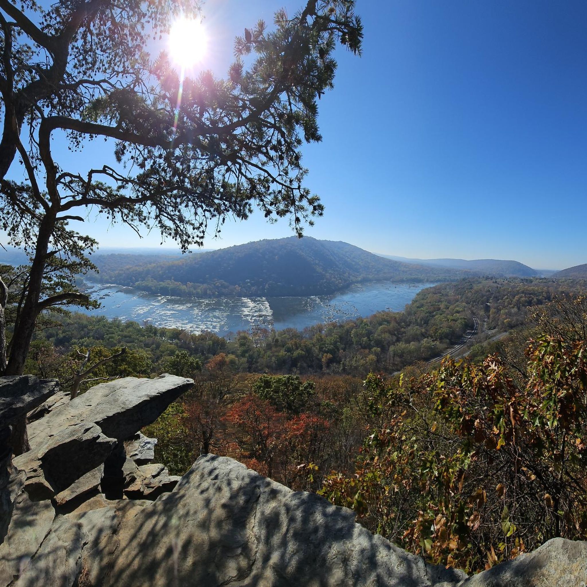
From here, you can look up at the West Portal of the Harpers Ferry Tunnel. The tunnel is part of the B & O Railroad Potomac River Crossing, which is on the National Register of Historic Places for its significance in commerce, engineering, industry, invention, and transportation.
1
0
Frequently Asked Questions
What types of road cycling routes are available in Brownsville?
Brownsville offers a diverse network of road cycling routes, characterized by flat urban trails, paths alongside scenic resacas (former Rio Grande River tributaries), and connections to natural areas. The city boasts an extensive trail network, including the 9-mile Historic Battlefield Trail and the 7-mile Paseo de la Resaca Trail System, providing varied experiences for cyclists.
Are there road cycling routes suitable for beginners in Brownsville?
Yes, Brownsville's generally flat terrain makes it welcoming for beginners. While this guide features routes ranging from moderate to difficult, the city's broader network includes many accessible paths. For example, the South Mountain loop is a moderate option that offers a good balance for those looking to build endurance.
What is the best time of year for road cycling in Brownsville?
Brownsville's mild climate supports year-round outdoor activities, making it suitable for cycling enthusiasts throughout most of the year. However, the cooler months from late fall to early spring generally offer the most comfortable temperatures for longer rides, avoiding the peak heat of summer.
Are there any family-friendly road cycling options in Brownsville?
While the routes in this guide are geared towards moderate to difficult road cycling, Brownsville's extensive trail network includes many paved, multi-use paths that are excellent for families. The Historic Battlefield Trail and the Paseo de la Resaca Trail System are great examples of flat, scenic routes suitable for all ages.
What kind of distances and durations can I expect on Brownsville's road cycling routes?
The road cycling routes around Brownsville vary in length and duration. For instance, the C&O Canal and Frederick Countryside Loop is about 45 miles (72.5 km) and typically takes around 4 hours, while the Shenandoah Pulp Factory Ruins – Shepherdstown loop from Harpers Ferry is 29 miles (46.7 km) and can be completed in about 2 hours 35 minutes.
What natural features or attractions can I see while road cycling in Brownsville?
Many routes offer views of the unique resacas, which are former tributaries of the Rio Grande River. You can also explore areas near the Jefferson Rock or the Maryland Heights Stone Fort. The region is also home to the Sabal Palm Sanctuary and the Palo Alto Battlefield National Historical Park, offering opportunities to experience South Texas's natural environment and history.
Are there any loop trails for road cycling in Brownsville?
Yes, several routes are designed as loops, providing a continuous cycling experience without retracing your path. Examples from this guide include the South Mountain loop and the Gathland State Park – Jefferson Rock loop from Harpers Ferry, allowing you to explore different scenery along the way.
Where can I find parking near Brownsville's road cycling routes?
Brownsville's Parks and Recreation Department actively manages numerous parks and trails, many of which offer dedicated parking facilities. For specific routes, it's advisable to check the starting point details on komoot for information on nearby parking. The Historic Battlefield Trail, for instance, features amenities like rest areas and public repair stations, often indicating accessible parking.
Does Brownsville host any cycling events?
Yes, Brownsville periodically hosts CycloBia, a free, open-streets event where selected public roads are closed to vehicle traffic. These events allow people to walk, skate, bike, or run freely, fostering a community atmosphere and encouraging active participation without the concern of cars.
What is the Caracara Trails project and how does it relate to road cycling in Brownsville?
The Caracara Trails is a planned 428-mile network aiming to connect natural, cultural, and historical resources across the Lower Rio Grande Valley. While still under development, this ambitious project will significantly expand cycling opportunities in and around Brownsville, promoting outdoor tourism and healthy lifestyles for the future.
Are there any facilities like bike repair stations along Brownsville's trails?
Yes, the city is committed to supporting cyclists. For example, the Historic Battlefield Trail includes a public repair station at Linear Park. The Southmost Nature Trail also features amenities such as a bike repair station, ensuring cyclists have access to basic maintenance facilities.
How many road cycling routes are featured in this guide for Brownsville?
This guide highlights 5 top road cycling routes around Brownsville, carefully selected to showcase the best of the region's landscape and provide varied experiences for cyclists.
Most popular routes around Brownsville
Most popular attractions around Brownsville

Get inspired with the komoot mobile app


Explore more
Browse the best Road cycling routes in other regions.
