The best walks and hikes around Uggerby Klitplantage
4.7
(486)
2,182
hikers
17
hikes
Hiking around Uggerby Klitplantage offers a diverse environment blending coastal, forest, and riverine landscapes. The area features a dune plantation established on a raised Stone Age seabed, bordering the North Sea coast with sea dunes up to 12 meters above sea level. To the east, the plantation borders Uggerby Å, characterized by steep banks. The terrain includes varied forest types and reaches elevations up to 24 meters above sea level in the highest migrating dunes.
Best hiking trails around Uggerby Klitplantage
- The most popular hiking route is View of the mouth of the Uggerby River – Bridge over the Uggerby River loop from Uggerby, an easy 4.3 miles (6.8 km) trail that takes 1 hour 45 minutes to complete, offering views of the river mouth and coastal areas.
- Another top favourite among local hikers is Picnic Area at the Lily Pond – Boardwalk to the Sea loop from Uggerby, a moderate 8.2 miles (13.2 km) path. This route leads through varied forest and along a boardwalk towards the sea, showcasing the diverse natural features.
- Local hikers also love the Picnic Area at the Lily Pond – Forest Pond with Lily Pads loop from Uggerby, a 3.3 miles (5.4 km) trail leading through varied forest, often completed in about 1 hour 20 minutes.
- Hiking around Uggerby Klitplantage is defined by dune plantations, varied forests, and the Uggerby Å river, with coastal paths and elevated viewpoints. The network offers options for different ability levels, including 10 easy, 5 moderate, and 2 difficult routes.
- The routes in Uggerby Klitplantage are highly rated by the komoot community with an average score of 4.8 stars from more than 350 reviews. Over 1,600 hikers have used komoot to explore Uggerby Klitplantage's varied terrain.
Last updated: July 9, 2026
4.9
(15)
28
hikers
Easy hike. Great for any fitness level. Easily-accessible paths. Suitable for all skill levels.
4.3
(6)
25
hikers
Moderate hike. Good fitness required. Easily-accessible paths. Suitable for all skill levels.

Sign up for free
4.7
(7)
19
hikers
17.4km
04:27
50m
50m
Moderate hike. Good fitness required. Easily-accessible paths. Suitable for all skill levels.
5.0
(3)
9
hikers
Easy hike. Great for any fitness level. Easily-accessible paths. Suitable for all skill levels.
5.0
(3)
11
hikers
Easy hike. Great for any fitness level. Easily-accessible paths. Suitable for all skill levels.
Get access to more routes and recommendations from other explorers.
Sign up for free
Already have an account?
Our route recommendations are based on thousands of hikes, rides, and runs completed by other people on komoot.
Start today with a free account
Your next adventure awaits.
Login or Signup
Tips from the Community

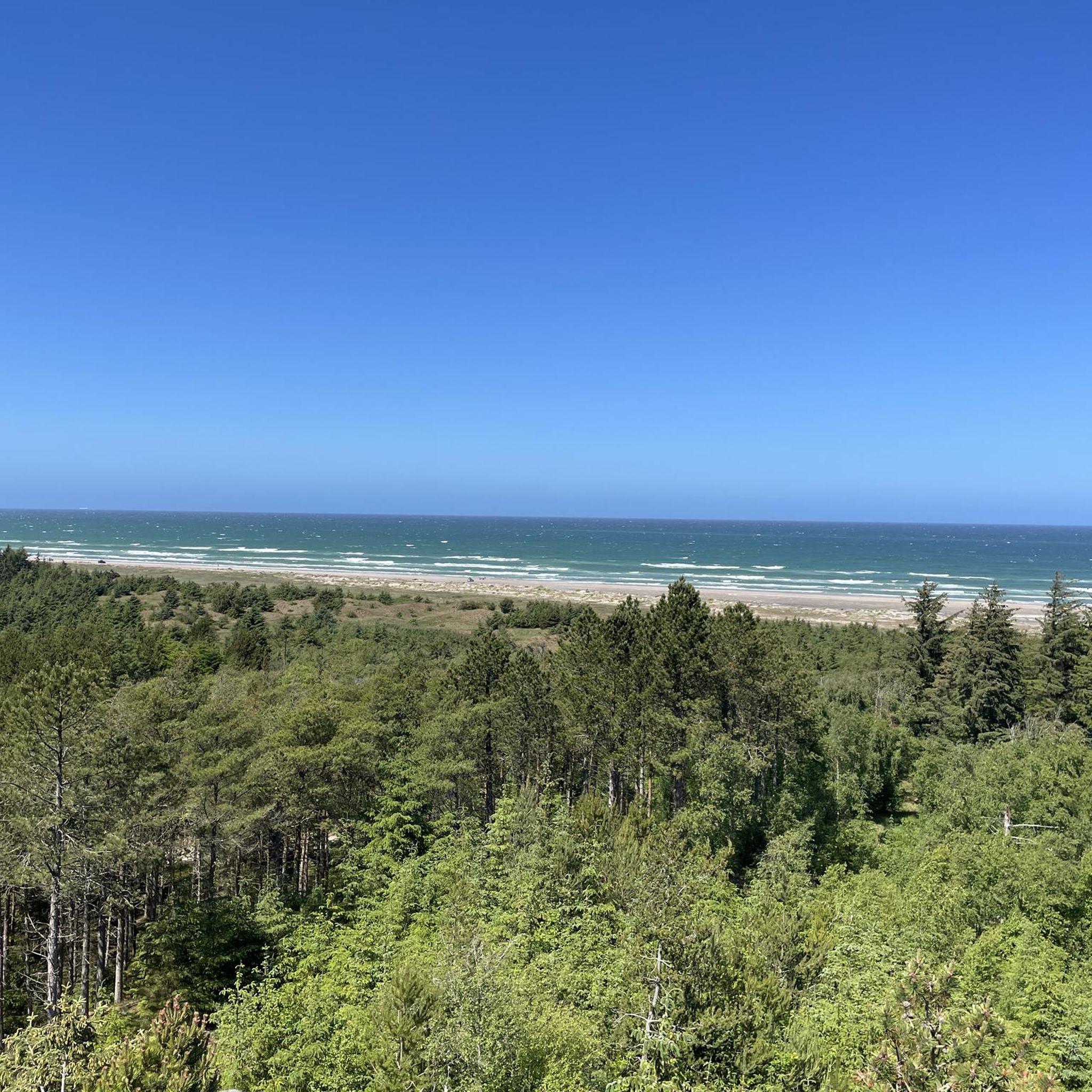
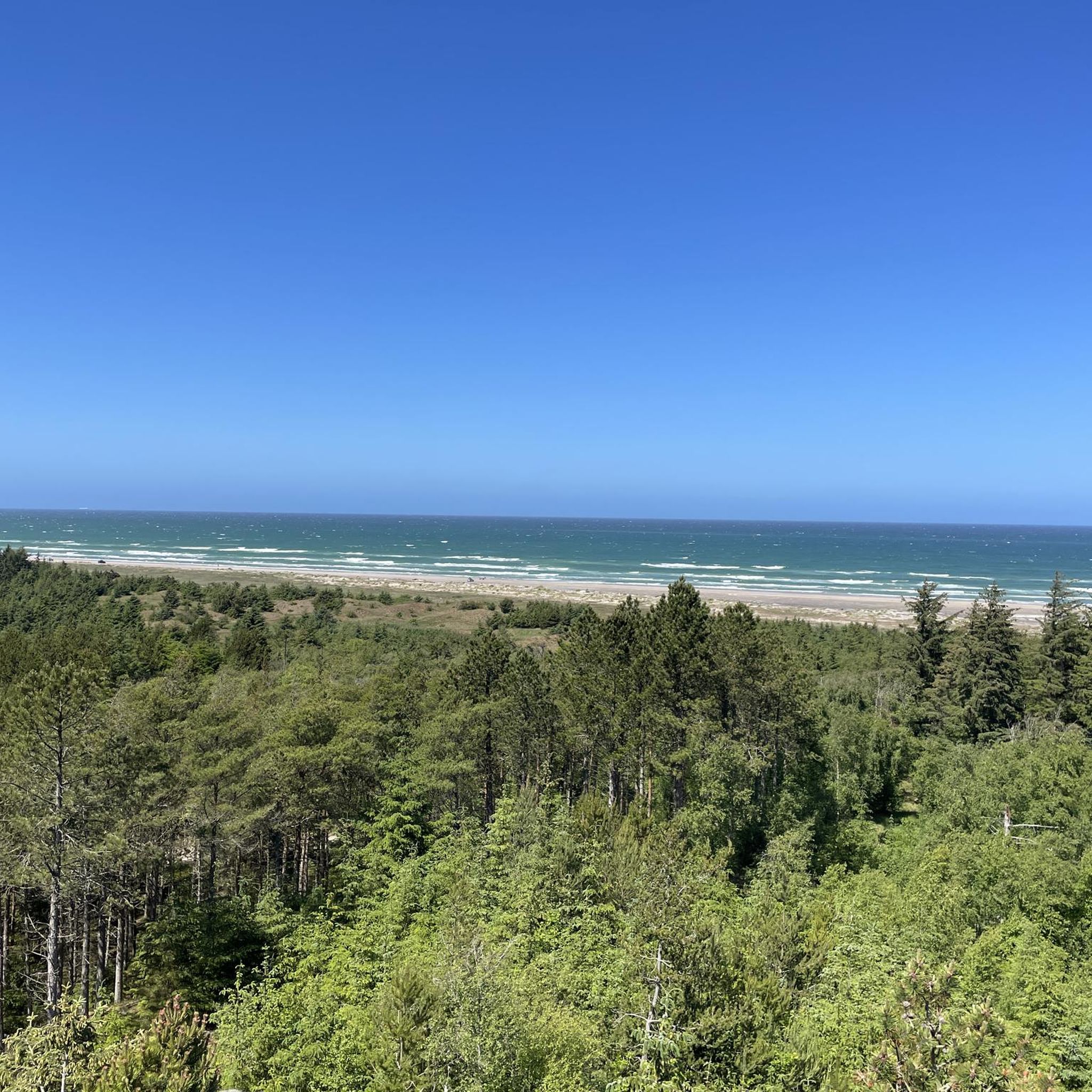
Dune plantation in Uggerby, where there are beautiful paths and good cycle paths. Excursion to the observation tower and enjoy the beautiful view
0
0

A wonderful museum. A rare opportunity (at least, I don't know of any other) to see a live sunfish. However, the one that disappeared in February is just being replaced.
2
0

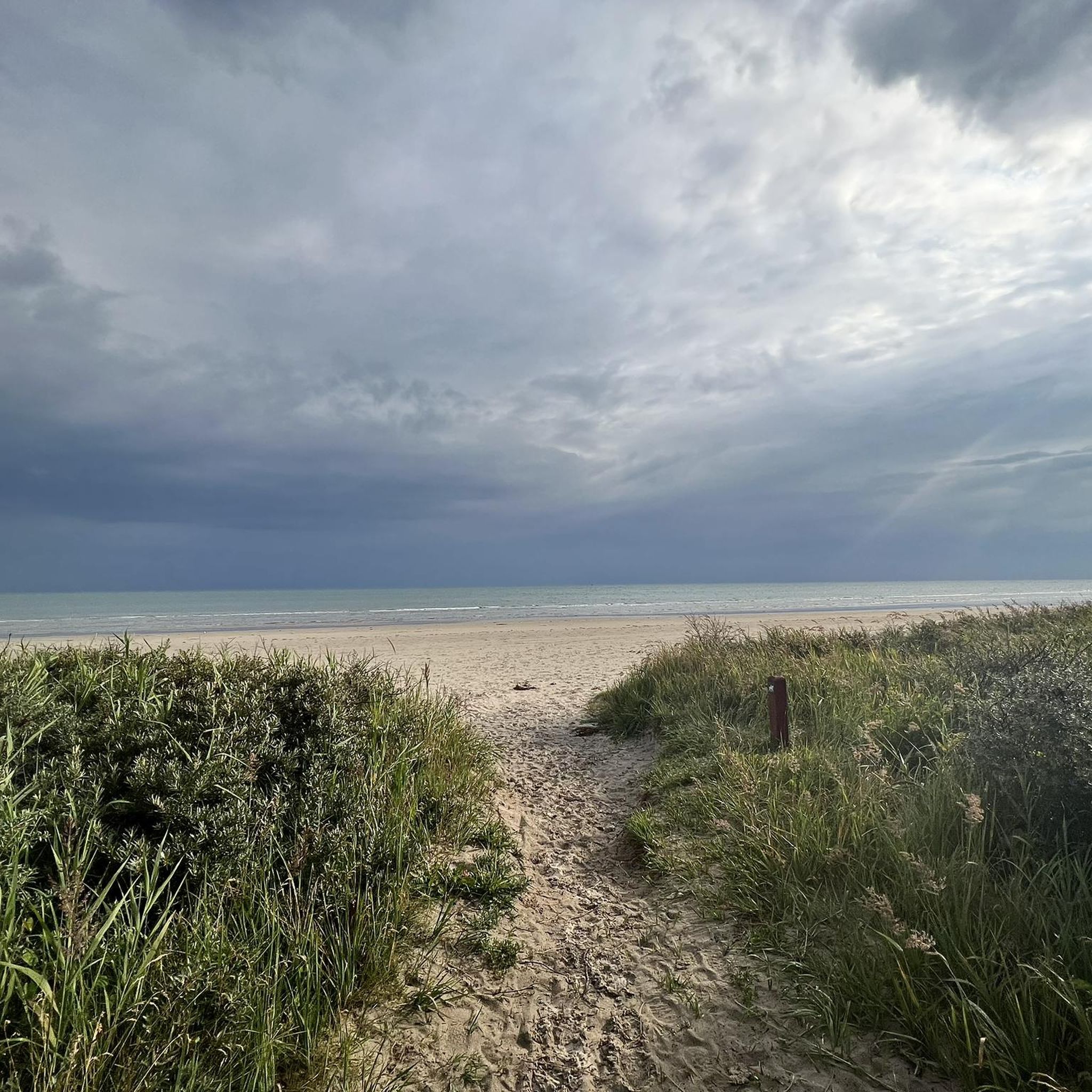
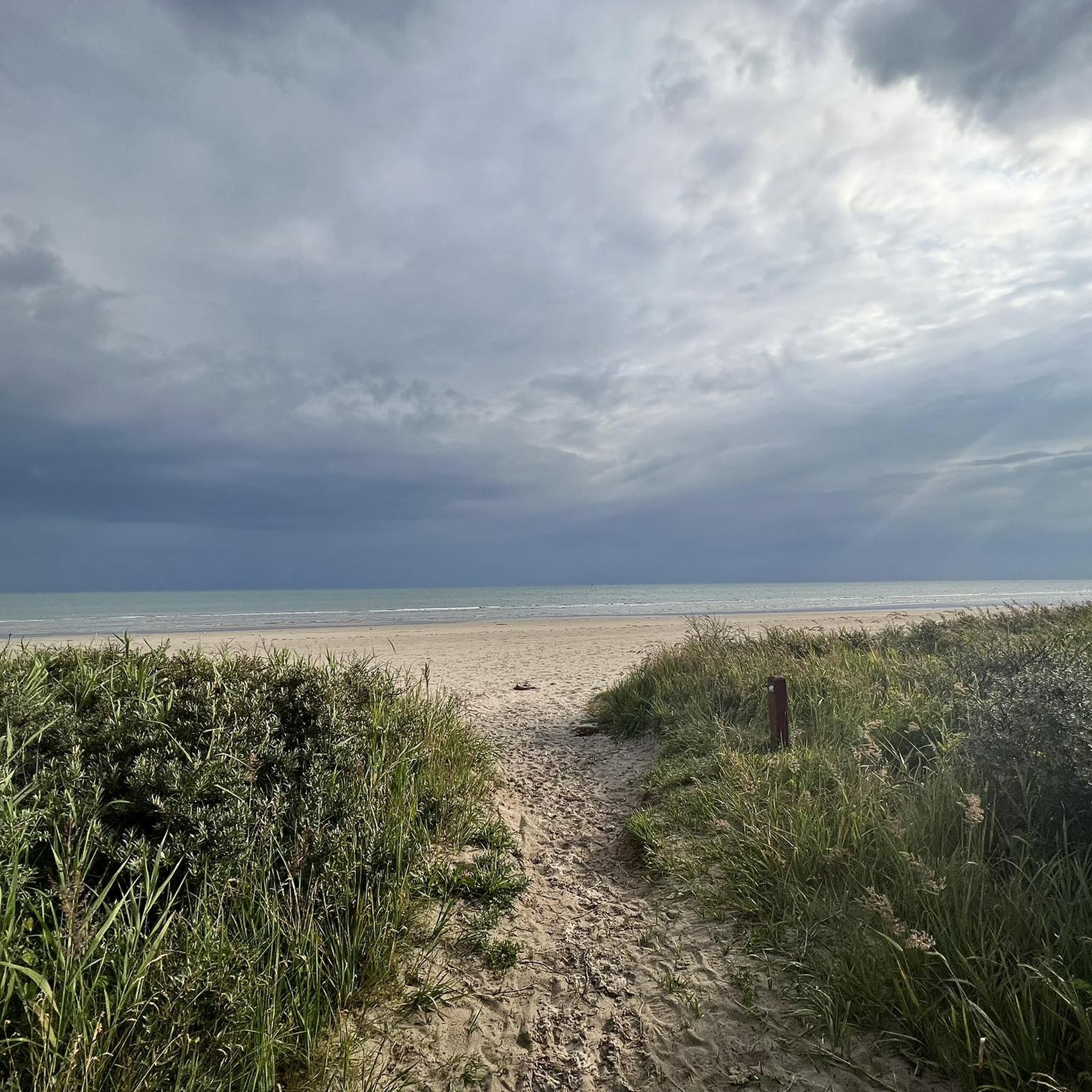
It is definitely worth walking through this magnificent dune landscape.
0
0
We had a huge storm and even had to push our bikes.
0
0

This well-equipped shelter site is ideal for a break. It offers two shelters, a trailer, picnic tables, fresh water, a barbecue area and even a wood splitter – perfect for cyclists looking to rest or camp.
1
0


Nice cafe in the dunes with a delicious ice cream selection and a view of the beach.
0
0
Frequently Asked Questions
How many hiking trails are available in Uggerby Klitplantage?
Uggerby Klitplantage offers a comprehensive network of 17 hiking trails. These include 10 easy routes, 5 moderate paths, and 2 more challenging options, catering to various fitness levels and preferences.
What kind of terrain can I expect when hiking in Uggerby Klitplantage?
The terrain in Uggerby Klitplantage is remarkably diverse. You'll encounter dynamic coastal dunes, some rising up to 12 meters above sea level, and gravelly ground near the coast. Further inland, the landscape transitions to varied forest types, including Sitka spruce, Scotch pine, and deciduous trees. To the east, the trails border Uggerby Å, featuring distinctive steep banks.
Are there any family-friendly hiking options in Uggerby Klitplantage?
Yes, Uggerby Klitplantage is well-suited for families, offering 10 easy routes. These paths are generally accessible and provide a pleasant experience for all ages. A good example is the Picnic Area at the Lily Pond – Forest Pond with Lily Pads loop from Uggerby, an easy 3.3-mile (5.4 km) trail through varied forest.
What natural features or landmarks can I see along the trails?
Hikers can discover a variety of natural features and landmarks. The area is part of a Natura 2000 protected zone, home to unique flora and fauna. You can visit the Lily Pond on the Dune Cycle Path, explore the coastal dunes, or enjoy views from the tall lookout tower. The Uggerby Å river with its steep banks is also a prominent feature.
Are there any circular hiking routes in Uggerby Klitplantage?
Yes, many of the trails in Uggerby Klitplantage are designed as circular routes, allowing you to start and end at the same point. For instance, the View of the mouth of the Uggerby River – Bridge over the Uggerby River loop from Uggerby is an easy 4.3-mile (6.8 km) loop offering views of the river mouth and coastal areas.
What do other hikers enjoy most about Uggerby Klitplantage?
The komoot community highly rates Uggerby Klitplantage, with an average score of 4.8 stars from over 350 reviews. Hikers often praise the diverse landscapes, from coastal dunes to varied forests and riverine areas, as well as the well-maintained network of trails suitable for different abilities.
Are there opportunities for overnight stays or shelters in the area?
Yes, Uggerby Klitplantage provides several free shelter sites for those wishing to extend their outdoor experience. These sites often include amenities like fire pits, wood, and sometimes even running water and toilet facilities nearby. You can find options like the Shelter site with fire pit and wood storage or Fårehgnet Shelter.
What are the elevation changes like on the trails?
The trails in Uggerby Klitplantage offer varied elevations. The terrain reaches heights of up to 24 meters above sea level in the highest migrating dunes, known as Vagtbakker, with plains at 18 meters above sea level. This provides a dynamic hiking experience with gentle ascents and descents.
Is Uggerby Klitplantage suitable for dog walking?
Uggerby Klitplantage is generally dog-friendly, but it's important to keep dogs on a leash, especially in areas with wildlife or grazing animals, and to respect local regulations. The varied trails provide plenty of space for you and your dog to enjoy the natural surroundings.
Are there any longer or more challenging routes for experienced hikers?
Yes, for experienced hikers seeking a challenge, Uggerby Klitplantage offers 2 difficult routes. An example is the Boardwalk to the Sea – View of the mouth of the Uggerby River loop from Emmersbæk, a demanding 18.4-mile (29.7 km) trail that requires good fitness and sure-footedness.
How can I access Uggerby Klitplantage by public transport or find parking?
While specific public transport routes directly into the plantation can vary, local bus services often connect nearby towns. For drivers, designated parking areas are available at various trailheads around Uggerby Klitplantage, providing convenient access to the hiking routes.
What kind of forest can I expect to see in Uggerby Klitplantage?
The forest in Uggerby Klitplantage is diverse, dominated by Sitka spruce and Scotch pine, each covering about a third of the area. Approximately one-sixth consists of deciduous trees, often found in mixed stands. You can also find a small, older oak area dating back to 1904, adding to the varied forest experience.
Most popular routes around Uggerby Klitplantage
Most popular attractions around Uggerby Klitplantage

Get inspired with the komoot mobile app


Explore more
Browse the best Hikes in other regions.
