The best walks and hikes around Foresta della Valle Benedetta
4.4
(1210)
5,481
hikers
92
hikes
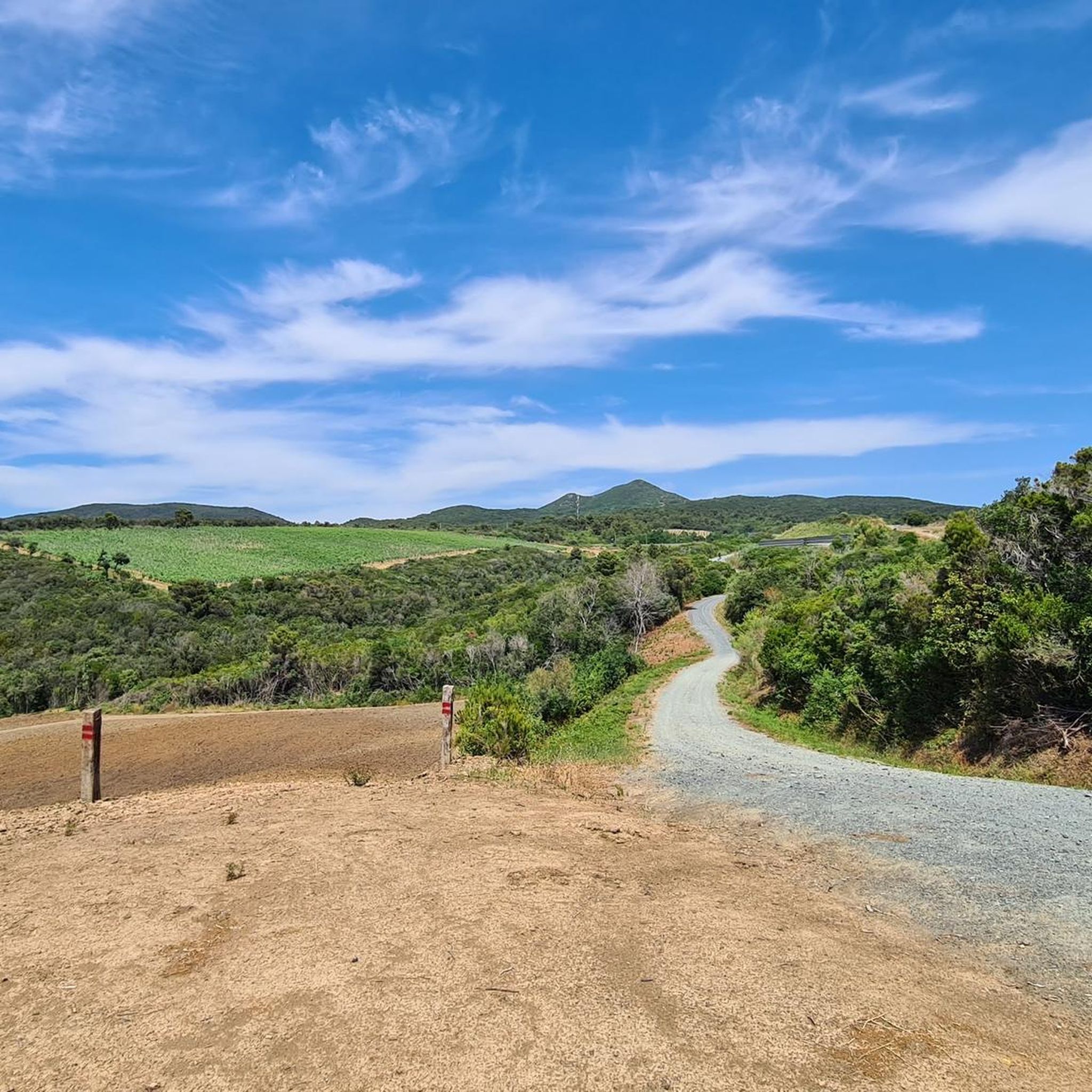
Hiking around Foresta della Valle Benedetta offers a varied landscape characterized by dense maritime pine forests, Mediterranean scrub, and lush oak woods. Situated within the Livorno Mountains at an altitude of over 300 meters, the area features diverse terrain. The Torrente Ugione is a prominent natural feature, with many paths running alongside it. From various points, panoramic views of Livorno and the Tuscan Archipelago are accessible.
Best hiking trails around Foresta della Valle Benedetta
- The most popular hiking route is View from Cima Monte Pelato – Monte Pelato loop from Castiglioncello, a 6.7 miles (10.7 km) trail that takes 3 hours 5 minutes to complete. This moderate route offers scenic vistas from Cima Monte Pelato.
- Another top favourite among local hikers is Eremo della Sambuca – Villa Cristina loop from Acquedotto Leopoldino, a moderate 4.8 miles (7.7 km) path. This trail leads through the tranquil Ugione valley, passing the ancient Eremo della Sambuca.
- Local hikers also love the Ruins of Poggio ai Tre Molini loop from Colognole, a 5.9 miles (9.5 km) trail leading through historical remnants, often completed in about 2 hours 55 minutes.
- Hiking around Foresta della Valle Benedetta is defined by dense maritime pine forests, Mediterranean scrub, and the Torrente Ugione, with panoramic viewpoints over Livorno. The network offers options for easy strolls to more challenging treks, catering to different ability levels.
- The routes in Foresta della Valle Benedetta are highly rated by the komoot community with an average score of 4.5 stars from more than 300 reviews. More than 1000 hikers have used komoot to explore Foresta della Valle Benedetta's varied terrain.
Last updated: June 25, 2026
4.8
(53)
118
hikers
10.5km
03:01
260m
260m
Moderate hike. Good fitness required. Easily-accessible paths. Suitable for all skill levels.
4.7
(22)
66
hikers
7.73km
02:14
150m
150m
Moderate hike. Good fitness required. Mostly accessible paths. Sure-footedness required.

Sign up for free
4.1
(22)
49
hikers
9.80km
03:01
320m
320m
Moderate hike. Good fitness required. Mostly accessible paths. Sure-footedness required.
4.6
(22)
52
hikers
7.95km
02:33
290m
290m
Hard hike. Good fitness required. Sure-footedness, sturdy shoes and alpine experience required.
4.8
(11)
50
hikers
8.99km
02:44
270m
270m
Moderate hike. Good fitness required. Mostly accessible paths. Sure-footedness required.
Get access to more routes and recommendations from other explorers.
Sign up for free
Already have an account?
Our route recommendations are based on thousands of hikes, rides, and runs completed by other people on komoot.
Start today with a free account
Your next adventure awaits.
Login or Signup
Popular around Foresta della Valle Benedetta
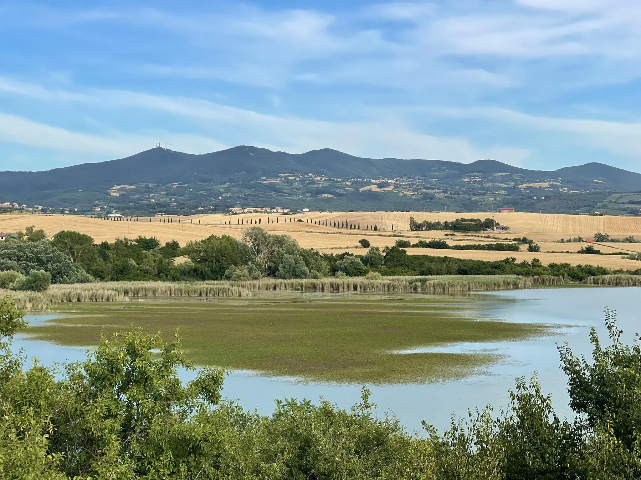
Bike touring between spas and villages – Santa Luce lake and Livorno hills
Road Cycling Routes around Foresta della Valle Benedetta
Cycling around Foresta della Valle Benedetta
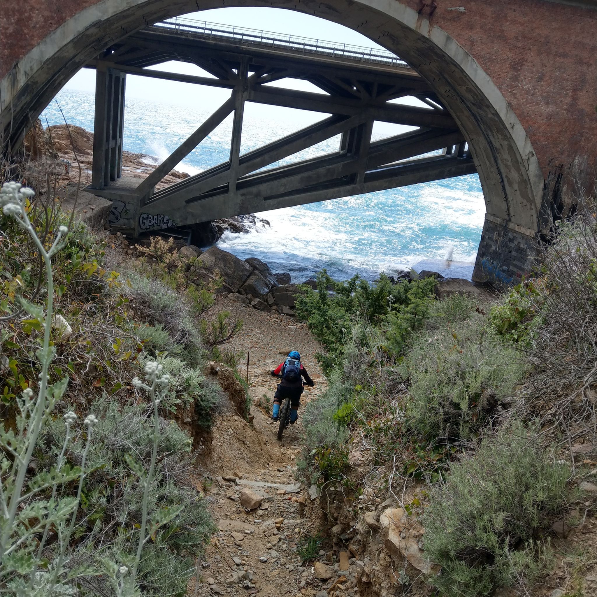
MTB Trails around Foresta della Valle Benedetta

Gravel biking around Foresta della Valle Benedetta
Running Trails around Foresta della Valle Benedetta
Other adventures around Foresta della Valle Benedetta

Tips from the Community

Please take into account that it is very technical and some roads are closed.
0
0

Stunning 360° panorama worth the effort to get there.
0
0
An 18th-century masterpiece just waiting for you Also known as the Poccianti Aqueduct or the Colognole Aqueduct, this ambitious project, begun in 1793, was conceived by order of Grand Duke Ferdinand III in response to the growing water needs of an expanding Livorno. Thanks to its port, in fact, the city was experiencing a significant population increase. However, it was Leopold II who brought it to completion, inaugurating the work only in 1852. The project of the aqueduct, which supplied water to the city of Livorno from 1816 to 1912 and still serves the neighboring towns, was conceived by the skilled Florentine architect Giuseppe Salvetti, the first to trace the path through the hills of Colognole, where various springs gush generously. Due to his premature death, the work was assigned to the architect Calocchieri and completed by Pasquale Poccianti. The latter in particular left an indelible mark on the structure, creating the three imposing cisterns visible in Livorno: the Cisternone, the Cisternino di Città and the Cisternino di Pian di Rota.
0
0

perfect place for snorkeling or just swimming with a very strong shadow of the bridge
1
0

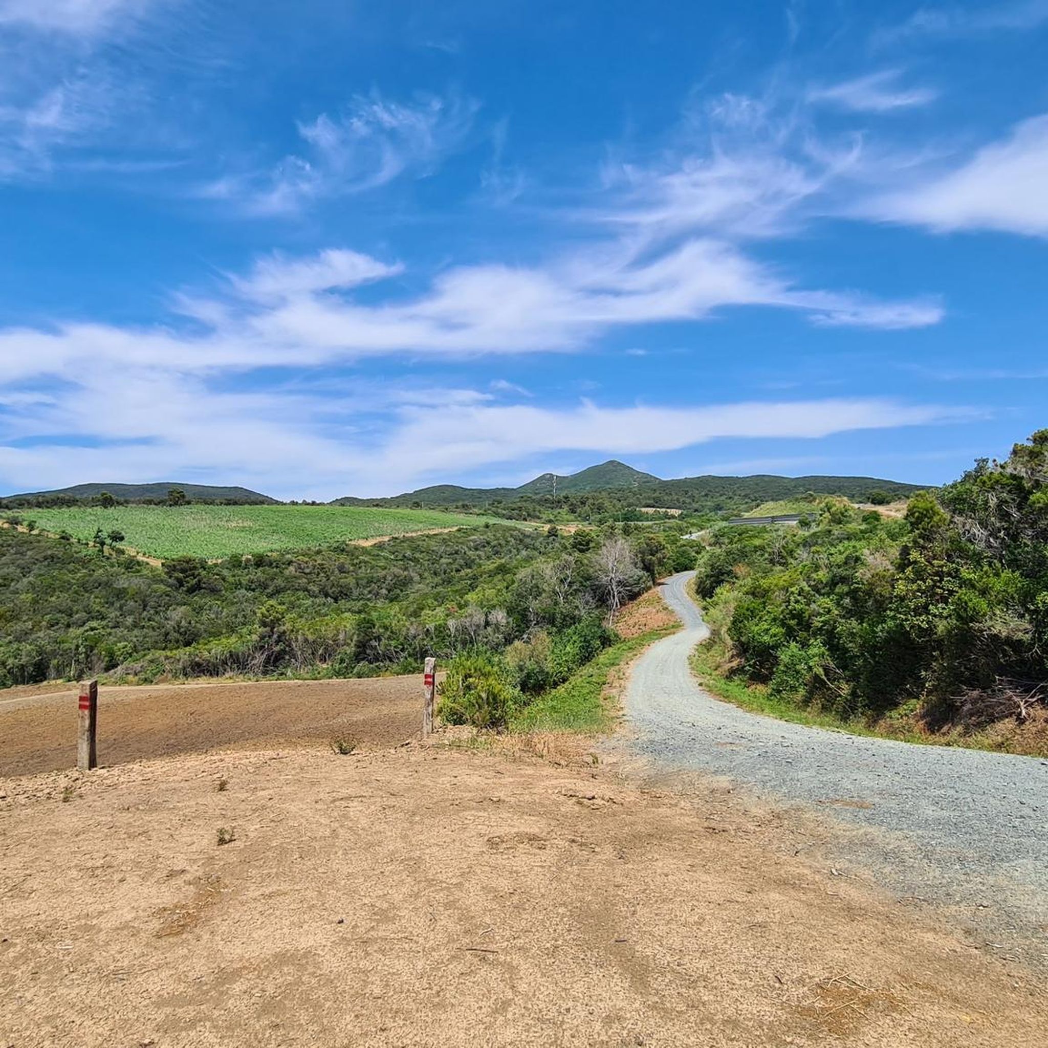
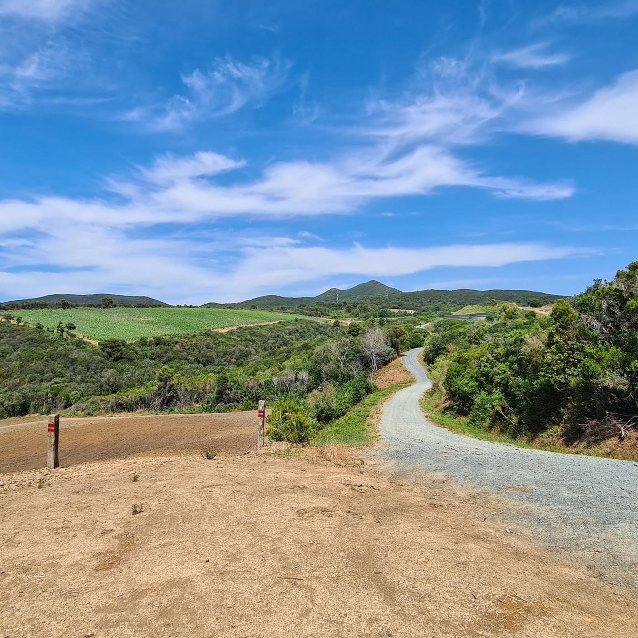
Descent from Poggio Pelato along a slightly technical but very beautiful single track
0
0


Poggio Lecceta, 457 meters above sea level, is the highest peak of the Livorno Hills and is divided between the municipalities of Livorno and Collesalvetti. The summit is occupied by a radar station, whose radome can be seen from a great distance. On the slopes of the hill is the Livorno hamlet of Valle Benedetta (364 m), known for being the site of numerous excursions by the C.A.I. of Livorno. Among the numerous streams that have their sources in Poggio Lecceta are the Rio Maggiore and the Torrente Ugione, which are among the longest that descend from the Livorno Hills. (from Wikipedia) Access to the Radar area is via a short, but very steep climb along Via del Radar; However, since it is a military structure that has the purpose of providing meteorological information, as well as ensuring air traffic control and surveillance of maritime navigation, access to the structure is prohibited to unauthorized persons.
3
0
Frequently Asked Questions
How many hiking trails are available in Foresta della Valle Benedetta?
Foresta della Valle Benedetta offers a wide selection of hiking opportunities, with over 80 routes available. These range from easy strolls to more challenging treks, catering to various fitness levels.
Are there easy hiking trails suitable for beginners or casual walkers?
Yes, the area features several easy trails perfect for beginners or those seeking a relaxed walk. For example, the "Anello Pian della Rena – Vista su Pisa e il mare da Quercianella" is an easy 5.4 km route offering expansive views towards Pisa and the sea, typically taking about 1.5 hours.
Can I find circular hiking routes in Foresta della Valle Benedetta?
Many of the trails in Foresta della Valle Benedetta are designed as loops, allowing you to start and end at the same point. A popular moderate circular route is the Eremo della Sambuca – Villa Cristina loop from Acquedotto Leopoldino, which is about 7.7 km long and passes by the ancient Eremo della Sambuca.
What natural features and viewpoints can I expect to see while hiking?
You'll encounter dense maritime pine forests, Mediterranean scrub, and lush oak woods. The Torrente Ugione (Ugione stream) is a prominent natural feature, often paralleled by paths. From various points, such as Poggio Corbolone, you can enjoy panoramic views of Livorno and the Tuscan Archipelago. The "Anello Cascata dell'Infernaccio" route also leads past a small waterfall.
Are there any historical landmarks or attractions to explore along the trails?
Yes, the forest is rich in historical interest. You can visit the ancient Eremo della Sambuca, a peaceful hermitage dating back to the 13th century. Other historical remnants include ancient mills and ice houses along the Ugione river, and sections of the Colognole Aqueduct (Leopoldino Aqueduct), which are integrated into the landscape.
Are the hiking trails in Foresta della Valle Benedetta suitable for families with children?
Yes, many trails are suitable for families, especially the easier and moderate options. The diverse landscape and historical points of interest can make for an engaging outing for all ages. Always check the specific trail's difficulty and length to ensure it matches your family's capabilities.
Are dogs allowed on the hiking trails?
Foresta della Valle Benedetta is generally dog-friendly, and many hikers enjoy bringing their canine companions. However, it's always advisable to keep dogs on a leash, especially in areas with wildlife or near other hikers, and to follow local regulations regarding pet waste.
What is the best time of year to go hiking in Foresta della Valle Benedetta?
The region is enjoyable for hiking throughout much of the year. Spring and autumn offer pleasant temperatures and vibrant scenery, making them ideal. Summer can be warm, so early morning or late afternoon hikes are recommended. Winter hiking is also possible, though some paths might be muddy after rain.
Are there challenging hikes for experienced trekkers?
Yes, for those seeking a more strenuous experience, there are challenging routes available. The Panorama – Calignaia Canyon loop from Quercianella is a harder 7.9 km trail offering scenic vistas and a good workout.
How long do hikes in Foresta della Valle Benedetta typically take?
Hike durations vary significantly depending on the route and your pace. Trails can take anywhere from under two hours for shorter, easier loops to over five hours for more extensive and challenging treks. For example, the View from Cima Monte Pelato – Monte Pelato loop is a moderate 10.7 km trail that typically takes around 3 hours and 5 minutes.
What do other hikers enjoy most about hiking in Foresta della Valle Benedetta?
The area is highly rated by the komoot community, with an average score of 4.5 stars from over 300 reviews. Hikers frequently praise the diverse terrain, from dense forests to panoramic viewpoints, and the blend of natural beauty with historical sites like the Eremo della Sambuca.
Is parking available for hikers in Foresta della Valle Benedetta?
Parking is generally available at common starting points for trails, particularly near villages or specific attractions. It's advisable to check the route details on komoot for specific parking information related to your chosen trail.
Most popular routes around Foresta della Valle Benedetta
Most popular attractions around Foresta della Valle Benedetta

Get inspired with the komoot mobile app


Explore more
Browse the best Hikes in other regions.
