The best walks and hikes around Annalong Wood
4.5
(1269)
10,221
hikers
168
hikes
Hiking around Annalong Wood offers access to diverse landscapes within the Mourne Area of Outstanding Natural Beauty. The region features tranquil coniferous woodland, the meandering Annalong River, and serves as a gateway to the wider Mourne Mountains. Terrain varies from peaceful paths along the river to challenging, rocky ascents leading to mountain peaks.
Best hiking trails around Annalong Wood
- The most popular hiking route is Rocky Mountain & Annalong Wood loop — Mourne, a 5.5 miles (8.9 km) trail that takes 2 hours 48 minutes to complete. This moderate route combines woodland paths with views of the Mourne Mountains.
- Another top favourite among local hikers is Summit of Slieve Donard – The Mourne Wall loop from Moneydorragh More Upper, a moderate 8.4 miles (13.6 km) path. This trail offers significant elevation gain and panoramic views from Slieve Donard.
- Local hikers also love the Annalong Wood – Mourne Wall Path loop from Moneydorragh More Upper, a 7.5 miles (12.1 km) trail leading through varied terrain, often completed in about 3 hours 52 minutes.
- Hiking around Annalong Wood is defined by coniferous woodlands, the Annalong River, and rocky mountain peaks of the Mourne Mountains. The network offers options for different ability levels, from leisurely strolls to demanding mountain climbs.
- The routes in Annalong Wood are highly rated by the komoot community with an average score of 4.6 stars from more than 1100 reviews. More than 9900 hikers have used komoot to explore Annalong Wood's varied terrain.
Last updated: June 27, 2026
4.5
(2)
8
hikers
8.93km
02:49
360m
360m
Moderate hike. Good fitness required. Easily-accessible paths. Suitable for all skill levels.
5.0
(2)
18
hikers
13.6km
04:45
740m
740m
Moderate hike. Good fitness required. Easily-accessible paths. Suitable for all skill levels.

Sign up for free
4.7
(3)
22
hikers
12.2km
03:54
520m
520m
Moderate hike. Good fitness required. Easily-accessible paths. Suitable for all skill levels.
5.0
(23)
150
hikers
14.9km
04:56
600m
600m
Embark on a difficult hike along The Devil's Coach Road via Cove Mountain, a challenging route spanning 9.3 miles (14.9 km) with an elevation gain of 1976 feet (602 metres), typically taking 4 hours and 56 minutes to complete. This trail leads you through rugged terrain, including a deep, steep gully of loose scree on the granite flanks of Slieve Beg, where footing can be unstable. As you ascend, you will encounter rocky paths and areas covered in heather, offering varied scenery. From Cove Mountain, enjoy panoramic views of the central Mournes, including the Ben Crom Reservoir and distant peaks like Slieve Donard. The route also traverses tranquil valleys with gravel and grassy paths, occasionally crossing small streams, providing a diverse hiking experience.
This is a demanding hike requiring good fitness and sure-footedness, so come prepared with sturdy shoes. The ascent through the loose scree gully of the Devil's Coach Road is particularly challenging and steep, sometimes appearing almost vertical. If you have a fear of heights, this route may not be suitable for you. It is also not recommended for dogs due to the steepness and potential for paw injury. Some sections may involve technical or hazardous terrain, so prior experience and potentially specialist equipment are advisable.
The Devil's Coach Road is steeped in local folklore, with tales suggesting the Devil himself used this path to
4.9
(16)
176
hikers
8.06km
02:17
180m
180m
Embark on a moderate hiking adventure to Blue Lough from Carrick Little, a route that spans 5.0 miles (8.1 km) and involves a total elevation gain of 599 feet (183 metres). You can expect to complete this journey in approximately 2 hours and 17 minutes. As you hike, you will traverse open heathland, enjoying expansive views of the Mourne Mountains, including the striking peaks of Slieve Lamagan and Slieve Binnian. The trail culminates at the tranquil Blue Lough, offering a peaceful spot to pause and appreciate the wilderness.
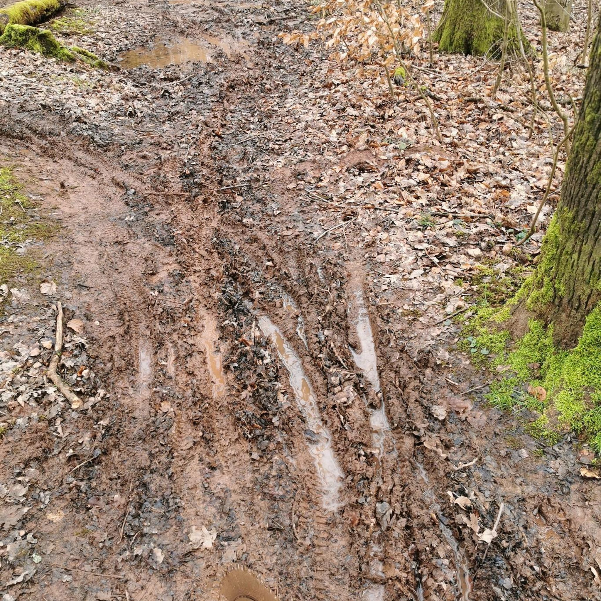
To begin your hike, head to the Carrick Little car park, which provides convenient access to the starting point of the route. While the path is generally well-defined, be aware that certain sections, particularly those near Annalong Wood, can become boggy. For this reason, wearing sturdy boots is highly recommended, especially if you plan your visit after periods of rain. Planning ahead ensures a more comfortable and enjoyable experience on the trail.
This route offers a unique opportunity to experience the rugged beauty of the Mourne Mountains. Along your journey, you will encounter the historic Mourne Wall, a significant landmark that winds its way across the landscape. The serene Blue Lough itself provides a sense of remote wilderness, making it an ideal destination if you are seeking a quiet escape into nature. It is a rewarding hike for anyone looking to explore the natural heritage of the region.
Get access to more routes and recommendations from other explorers.
Sign up for free
Already have an account?
Our route recommendations are based on thousands of hikes, rides, and runs completed by other people on komoot.
Start today with a free account
Your next adventure awaits.
Login or Signup
Tips from the Community

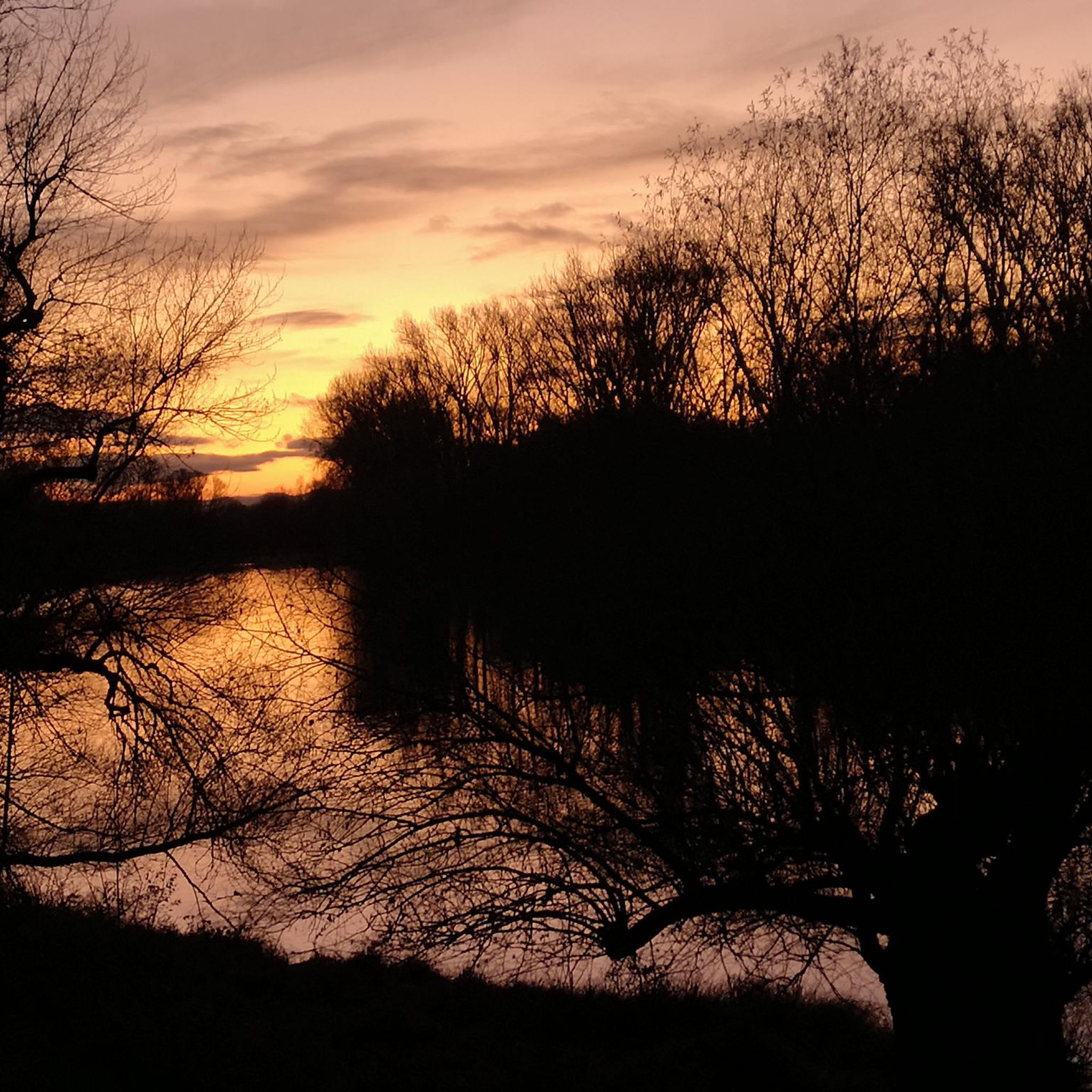
Annalong Wood offers a serene and immersive experience in the heart of the Mourne Mountains. This tranquil woodland, nestled near the Annalong River, provides a refreshing escape into nature. The path meanders through lush greenery, with the gentle sounds of the river accompanying your journey.
1
0
Starting from Carrick Little Car Park, the hiking path to Slieve Binnian offers a rewarding journey through the heart of the Mourne Mountains. This moderate to challenging loop, approximately 11.2 km in length, follows the Mourne Wall, a historic dry-stone structure built in the early 1900s, guiding hikers toward the summit of Slieve Binnian (747 m). The ascent is steady, with a mix of rocky terrain and scenic views. As you approach the summit, the path becomes more rugged, leading to the iconic South and North Tors. From the summit, panoramic vistas unfold, offering breathtaking views of the Silent Valley and the surrounding peaks.
1
0


I was lucky to see them at their best today, beautiful 😍
0
0

Not recommended for taking the dog , way to steep and could cause injury to paw’s .
0
0


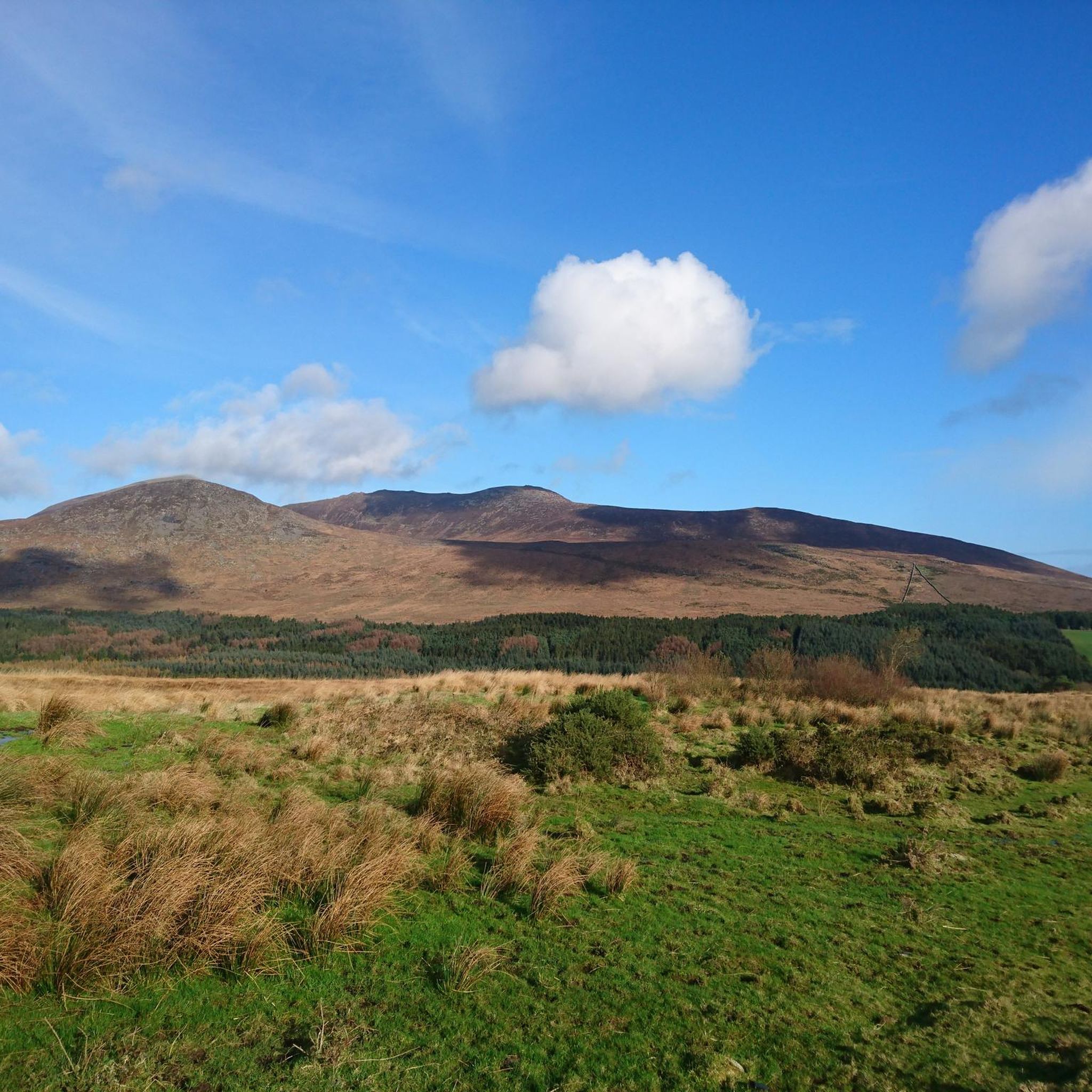
Enjoy a phenomenal bit of Mournes scenery to take your mind off the fact that you're about to begin your ascent up a mountain. In your periphery, you can see Slieve Binnian to the west, Slieve Lamagan to the North, and Rocky Mountain to the east.
2
0
Frequently Asked Questions
What types of hiking trails can I find in Annalong Wood?
Annalong Wood offers a diverse range of hiking experiences. You'll find peaceful strolls through tranquil coniferous woodland along the Annalong River, as well as more challenging, rocky ascents leading to mountain peaks within the wider Mourne Mountains. The terrain varies significantly, catering to different fitness levels.
How many hiking routes are available in the Annalong Wood area?
There are over 170 hiking routes available around Annalong Wood. These include a mix of easy, moderate, and difficult trails, ensuring options for various experience levels.
Are there any easy or family-friendly hiking options in Annalong Wood?
Yes, Annalong Wood has over 30 easy routes suitable for families or those seeking a more relaxed walk. These trails often follow the gentle course of the Annalong River through the peaceful woodland, providing a serene experience. While specific family-friendly routes aren't highlighted in the data, the easy trails are generally suitable.
What are some notable natural features or viewpoints to look out for while hiking?
Hikers can enjoy the tranquil coniferous woodland and the meandering Annalong River. From more elevated points, you'll find panoramic views of the surrounding Mourne Mountains, including peaks like Slieve Beg, Cove Mountain, and Slievelamagan. The area also features Blue Lough, a serene lake, and glimpses of the Silent Valley Reservoir from certain summits.
Are there any circular hiking routes in Annalong Wood?
Yes, many routes in Annalong Wood are circular, allowing you to start and finish at the same point. For example, the Rocky Mountain & Annalong Wood loop — Mourne is a popular moderate circular trail combining woodland paths with mountain views. Another option is the Annalong Wood – Mourne Wall Path loop from Moneydorragh More Upper, which offers varied terrain.
What is the best time of year to go hiking in Annalong Wood?
Annalong Wood is enjoyable year-round. The vibrant greens of spring and summer offer lush scenery, while autumn brings crisp air and beautiful colors. Even in winter, the area can be explored, though appropriate gear and awareness of conditions for higher, more exposed routes are essential.
Is Annalong Wood suitable for dog walking?
While the guide data doesn't explicitly state dog-friendly policies, Annalong Wood is a natural woodland area. Generally, dogs are welcome on trails in such areas, but it's always recommended to keep them on a lead, especially near livestock or wildlife, and to follow the Leave No Trace principles.
What is the typical duration of hikes in Annalong Wood?
Hike durations vary significantly depending on the route's length and difficulty. For instance, the moderate Rocky Mountain & Annalong Wood loop — Mourne typically takes around 2 hours 48 minutes, while the more challenging The Devil's Coach Road via Cove Mountain — Mourne can take closer to 5 hours.
What do other hikers say about their experience in Annalong Wood?
The hiking routes in Annalong Wood are highly rated by the komoot community, with an average score of 4.6 stars from over 1100 reviews. Hikers frequently praise the picturesque setting, the tranquility of the woodland, and the expansive panoramic views from the higher trails.
Are there any particularly challenging hikes for experienced walkers?
Yes, for experienced and well-prepared walkers, the area offers challenging, exposed, and rocky mountain peaks. Routes like The Devil's Coach Road via Cove Mountain — Mourne involve steep ascents and rugged terrain, including sections like the Devil's Coachroad along Slieve Beg. The Annalong Wood and Blue Lough Circular Walk is also known for being a difficult adventure with scrambling involved.
Where can I find parking for hiking trails in Annalong Wood?
Planning ahead for parking is advisable, especially during peak times. Annalong Wood is situated adjacent to the Silent Valley Reservoir, and access is typically managed through the Silent Valley entrance by Northern Ireland Water. Specific trailhead parking information can often be found on individual route descriptions.
What kind of footwear is recommended for hiking in Annalong Wood?
Given the varied terrain, which ranges from peaceful woodland paths to rugged, rocky mountain sections, appropriate footwear is highly recommended. Sturdy hiking boots with good ankle support are advisable, especially if you plan to tackle any of the more challenging or elevated routes.
Most popular routes around Annalong Wood

Get inspired with the komoot mobile app


Explore more
Browse the best Hikes in other regions.
