
The best road cycling routes around Columbia
4.8
(46)
387
riders
25
rides
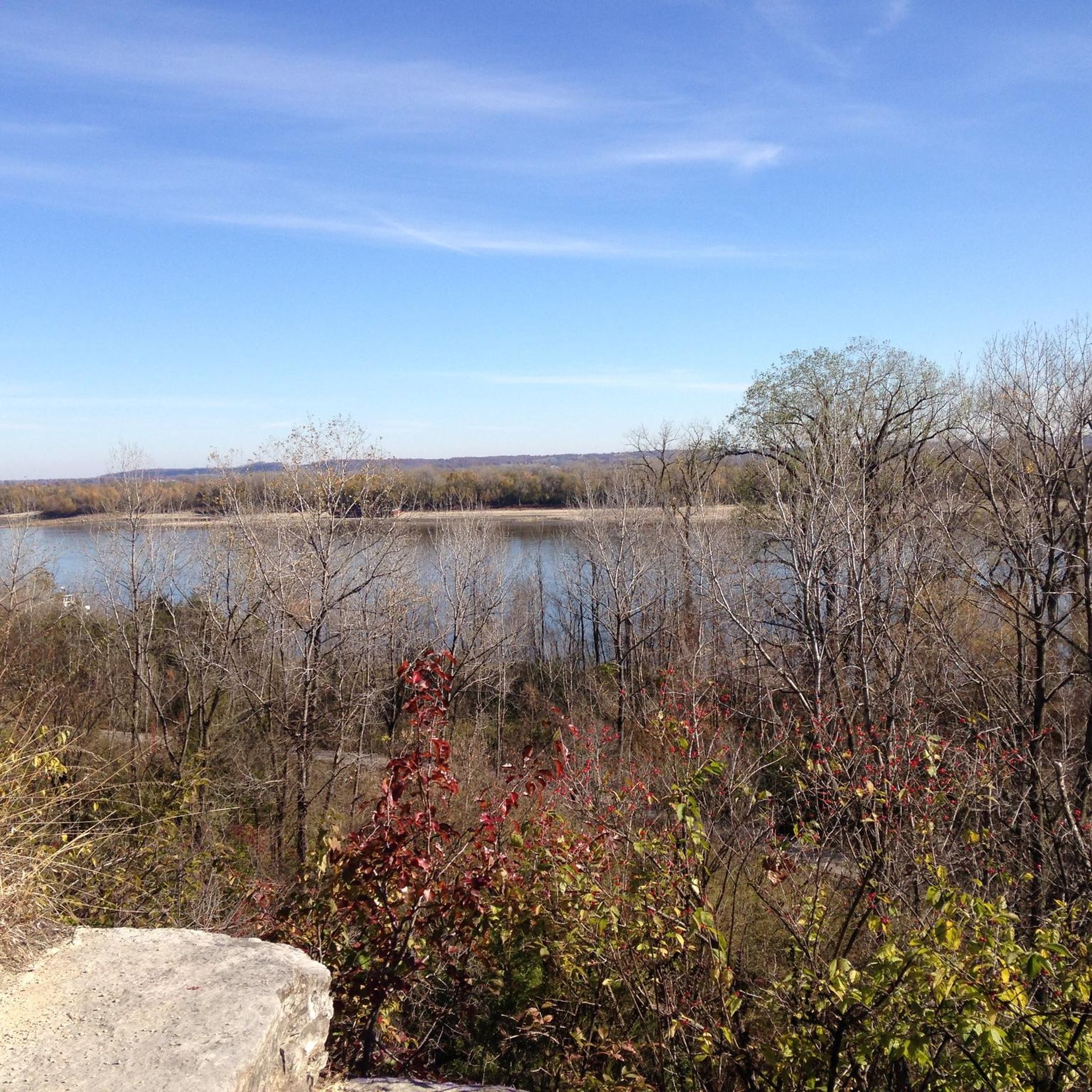
Road cycling around Columbia features a landscape characterized by rolling terrain and numerous water bodies, including lakes and reservoirs. The area offers varied routes that traverse through suburban and natural settings, providing a mix of gentle gradients and moderate climbs. This region is well-suited for road cyclists seeking routes with accessible elevation changes and scenic views of local waterways.
Best road cycling routes around Columbia
- The most popular road cycling route is Roadbike loop from Columbia, a 30.9 miles (49.9 km) trail that takes 2 hours 32 minutes to complete. This route offers a moderate challenge with varied terrain.
- Another top favourite among local road cyclists is Zion Fellowship Park loop from Columbia, an easy 21.5 miles (34.5 km) path. This route features gentle gradients and scenic views suitable for a relaxed ride.
- Local road cyclists also love the Oakville — Eureka loop, a 71.6 miles (115.3 km) trail leading through rolling terrain and suburban areas, often completed in about 5 hours 19 minutes.
- Road cycling around Columbia is defined by rolling hills, scenic lakes, and reservoir areas. The network offers options for different ability levels, from casual outings to longer, more demanding distances.
- The routes in Columbia are highly rated by the komoot community with an average score of 4.4 stars from more than 15 reviews. More than 100 road cyclists have used komoot to explore Columbia's varied terrain.
Last updated: July 8, 2026
4
riders
49.9km
02:33
150m
150m
The Roadbike loop from Columbia offers a moderate 31.0 miles (49.9 km) cycling experience, blending rail trail segments with on-road alternatives. You'll navigate varied terrain, from crushed stone to some rougher gravel sections, as you pass through woodlands, farms, and alongside the South Branch of the Raritan River. The route provides a bucolic setting with scenic views, including glimpses of the Ken Lockwood Gorge, making it a pleasant ride for those who enjoy a mix of surfaces and scenery. Expect about 495 feet (151 metres) of elevation gain over roughly 2 hours and 32 minutes, making it a good option for a solid morning or afternoon ride.
Accessing the loop is convenient, with parking available at various points along the Columbia Trail, such as High Bridge and Bartley Road. Towns like Califon and Long Valley are situated along the route, offering chances to refuel or grab a coffee. While the trail is largely shaded, providing comfort on hot days, it's wise to bring enough water. Bikes with wider tires are recommended for the varied surfaces, though the trail is generally suitable for most cyclists.
This loop utilizes a historic corridor, built upon a former railroad bed, which contributes to its generally gentle grades. It's a multi-use trail, popular with cyclists, hikers, and equestrians, fostering a shared outdoor experience. The option to create loop rides using on-road alternatives adds flexibility, allowing you to tailor the challenge. Its diverse scenery and consistent shade make it an enjoyable ride throughout the seasons, providing a refreshing escape near Columbia.
6
riders
86.0km
03:59
180m
180m
Moderate road ride. Good fitness required. Mostly well-paved surfaces and easy to ride.

Sign up for free
5.0
(1)
4
riders
34.5km
01:49
200m
200m
The Zion Fellowship Park loop from Columbia offers a wonderfully accessible road cycling experience, perfect for a relaxed outing. This easy 21.5-mile (34.5 km) route, with its modest 644 feet (196 metres) of elevation gain, is designed for racebikes and takes approximately 1 hour and 48 minutes to complete. You'll find yourself on smooth surfaces, enjoying the local scenery around Columbia, Illinois, without any demanding climbs or technical sections.
Planning your ride is straightforward; the loop is generally open year-round, making it a flexible option for a quick escape. Parking is typically available near the starting point in Columbia, and the route's easy nature means you won't need extensive preparation beyond checking the weather and bringing water. It's an excellent choice for a casual spin or a family outing.
This Zion Fellowship Park cycling route stands out as a reliable option for those seeking a gentle introduction to road cycling or a consistent training ride. Its flat profile and easy difficulty make it a welcoming trail for beginners, while more experienced riders can enjoy a quick, low-effort workout. It's a great way to explore the local area and enjoy the fresh air without venturing too far from Columbia.
90.9km
04:12
490m
490m
The Zion Fellowship Park loop from Millstadt is a substantial road cycling route that takes you through the quiet, rolling countryside surrounding the town. While Zion Fellowship Park itself is a serene spot with lush greenery and winding paths for walkers, this route keeps you on the public roads, offering a classic rural Illinois cycling experience. You'll encounter varied terrain, with open fields giving way to tree-lined stretches, providing a consistent and engaging ride for those who enjoy longer distances.
To tackle this moderate 56.5-mile (90.9 km) loop, plan for approximately 4 hours and 11 minutes in the saddle, accumulating 1612 feet (491 metres) of elevation gain. Starting directly from Millstadt, you'll find general parking within the town. Spring and fall are ideal seasons for this ride, offering pleasant temperatures, but always ensure you carry enough water and are visible to traffic on the rural roads.
This route stands out as a solid option for road cyclists in the St. Clair County area looking for a significant workout without venturing too far. It provides a good sense of the local agricultural landscape and offers a different perspective than the dedicated walking trails within Zion Fellowship Park. Consider it a great way to explore the broader Millstadt vicinity on two wheels.
Get access to more routes and recommendations from other explorers.
Sign up for free
Already have an account?
Our route recommendations are based on thousands of hikes, rides, and runs completed by other people on komoot.
Start today with a free account
Your next adventure awaits.
Login or Signup
Popular around Columbia


Frequently Asked Questions
How many road cycling routes are available around Columbia?
There are over 20 road cycling routes available around Columbia, offering a variety of experiences for different skill levels.
What kind of terrain can I expect when road cycling around Columbia?
Road cycling around Columbia features rolling terrain with varied gradients, ranging from gentle slopes to moderate climbs. The routes often traverse through a mix of suburban and natural settings, providing accessible elevation changes and scenic views.
Are there road cycling routes suitable for beginners or those looking for an easy ride?
Yes, Columbia offers several easy road cycling routes. For example, the Roadbike loop from Columbia is an easy 13.5-mile (21.7 km) path with gentle gradients, perfect for a relaxed ride.
What do other cyclists say about road cycling in Columbia?
The road cycling routes in Columbia are highly rated by the komoot community, with an average score of 4.3 stars from 8 reviews. Cyclists often praise the varied terrain and scenic views of local waterways.
Are there any long-distance road cycling routes in Columbia?
Yes, for those seeking longer rides, routes like the Saltpeter Cave loop from Columbia cover nearly 62 miles (99.5 km) and offer a more challenging experience. Another option is the Waterloo Reservoir Number 1 – Waterloo Reservoir Number 2 loop from Columbia, which is about 54 miles (86.9 km).
Can I find circular road cycling routes in Columbia?
Many of the road cycling routes around Columbia are designed as loops, allowing you to start and end at the same point. Examples include the Roadbike loop from Columbia and the Morgan Lake loop from Columbia.
What scenic views or natural features can I expect along the road cycling routes?
Road cycling routes in Columbia often feature scenic views of lakes and reservoir areas. You might encounter natural features like those around Morgan Lake or the Waterloo Reservoirs. Specific viewpoints include the River overlook.
Are there routes that pass by lakes or reservoirs?
Yes, several routes incorporate local water bodies. The Morgan Lake loop from Columbia leads through areas around Morgan Lake, and the Waterloo Reservoir Number 1 – Waterloo Reservoir Number 2 loop from Columbia explores the reservoir areas. You can also find highlights like the Boathouse Lake Pavilion and Horseshoe Lake in Carondelet Park.
What are some interesting landmarks or points of interest near the cycling routes?
Beyond the natural beauty, you can find points of interest like the River overlook for scenic vistas. For those interested in trails, the Spring Valley Trail (Cliff Cave County Park) is also nearby.
Are there any particularly challenging road cycling routes in Columbia?
Yes, for experienced cyclists seeking a challenge, routes like the Saltpeter Cave loop from Columbia are classified as difficult, featuring significant elevation gains over nearly 62 miles (99.5 km).
What is the best time of year for road cycling in Columbia?
Given the varied terrain and natural settings, spring and fall generally offer the most pleasant conditions for road cycling in Columbia, with milder temperatures and beautiful scenery. However, routes are accessible year-round, depending on weather conditions.
Most popular routes around Columbia
Most popular attractions around Columbia

Get inspired with the komoot mobile app


