The best cycling routes around Dittelbrunn
4.3
(164)
761
riders
50
rides
Touring cycling routes around Dittelbrunn traverse a landscape of rolling hills, verdant meadows, and dense forests in Lower Franconia, Germany. The region offers diverse and scenic backdrops for cyclists, with routes often leading through fields and past idyllic villages. Proximity to the Main River allows for routes along its banks, providing panoramic views of the riparian landscapes. The nearby Spessart forest provides opportunities for more challenging rides amidst lush woodland scenery.
Best touring cycling routes around Dittelbrunn
- The most popular…
Last updated: July 1, 2026
4.7
(28)
72
riders
Moderate bike ride. Good fitness required. Mostly paved surfaces. Suitable for all skill levels.
4.3
(15)
71
riders
32.3km
01:55
210m
210m
Moderate bike ride. Good fitness required. Mostly paved surfaces. Suitable for all skill levels.

Sign up for free
4.1
(14)
51
riders
21.8km
01:30
250m
250m
Moderate bike ride. Good fitness required. Mostly paved surfaces. Suitable for all skill levels.
4.0
(2)
47
riders
15.8km
00:59
150m
150m
Moderate bike ride. Good fitness required. Mostly paved surfaces. Suitable for all skill levels.
4.0
(3)
25
riders
12.5km
00:46
130m
130m
Easy bike ride. Great for any fitness level. Mostly paved surfaces. Suitable for all skill levels.
Get access to more routes and recommendations from other explorers.
Sign up for free
Already have an account?
Our route recommendations are based on thousands of hikes, rides, and runs completed by other people on komoot.
Start today with a free account
Your next adventure awaits.
Login or Signup
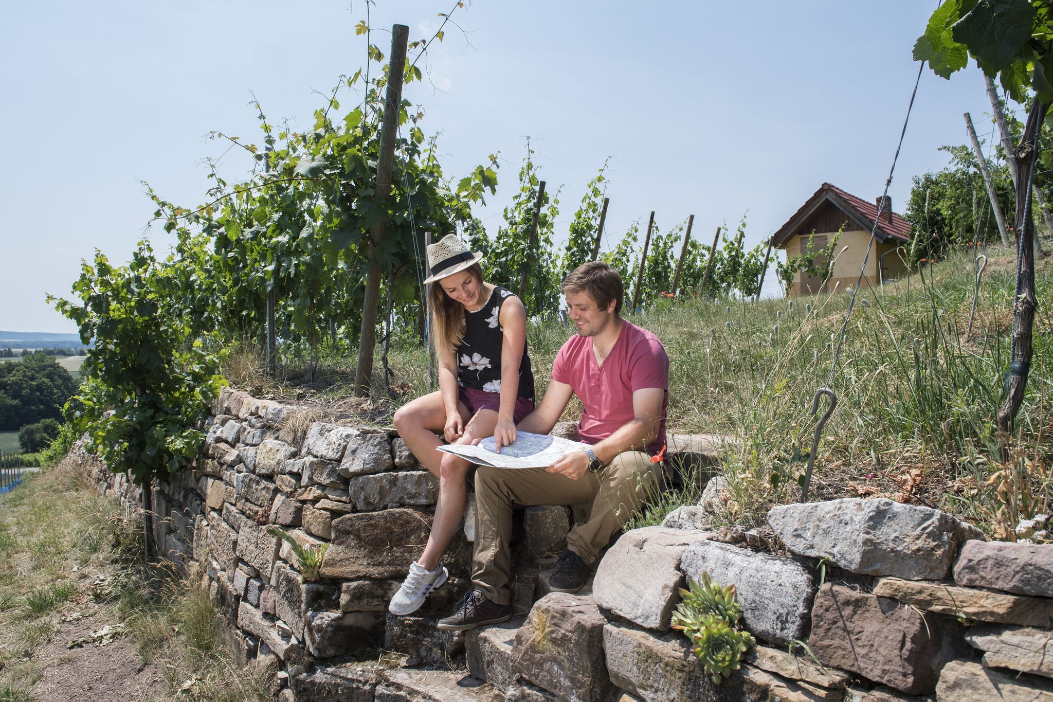
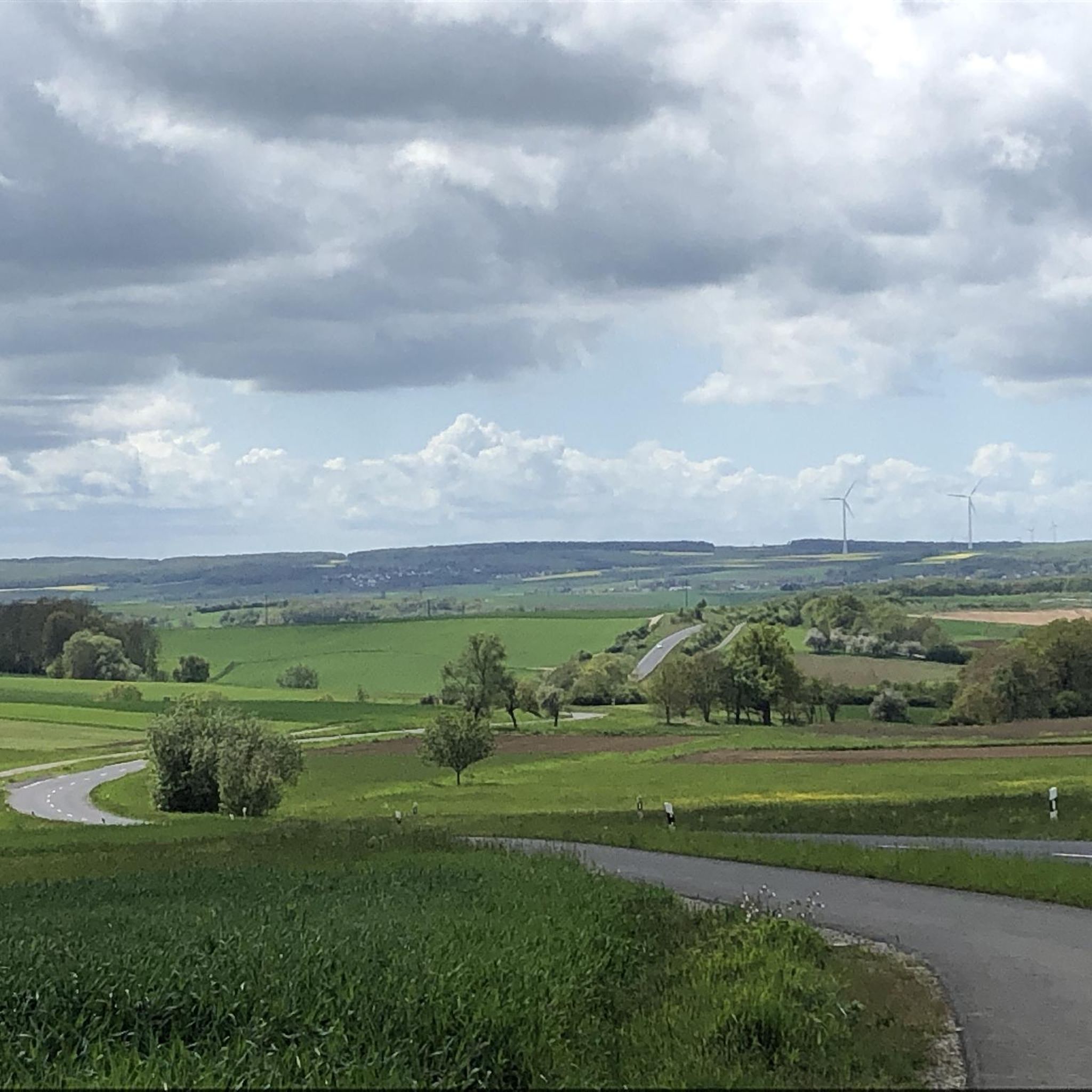
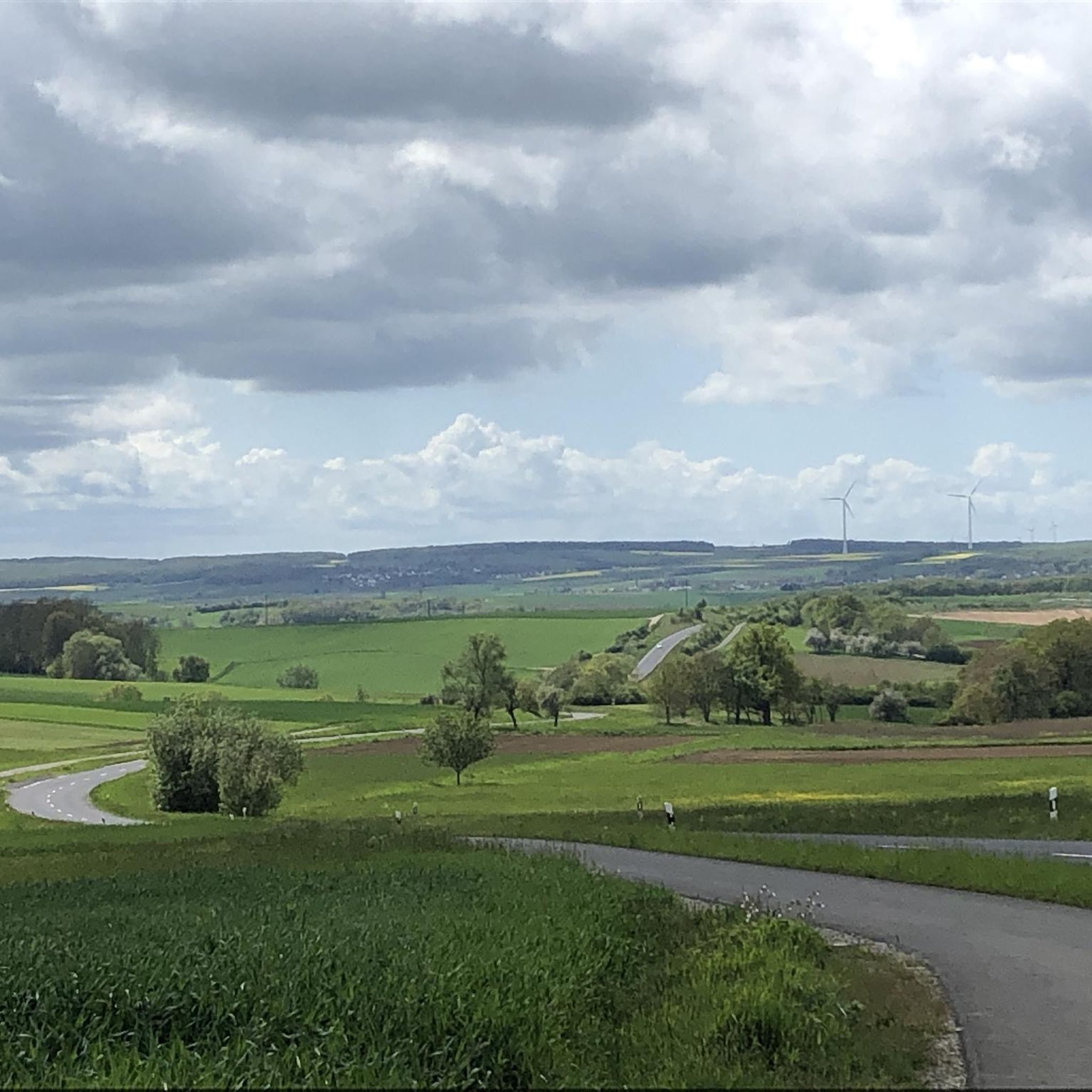
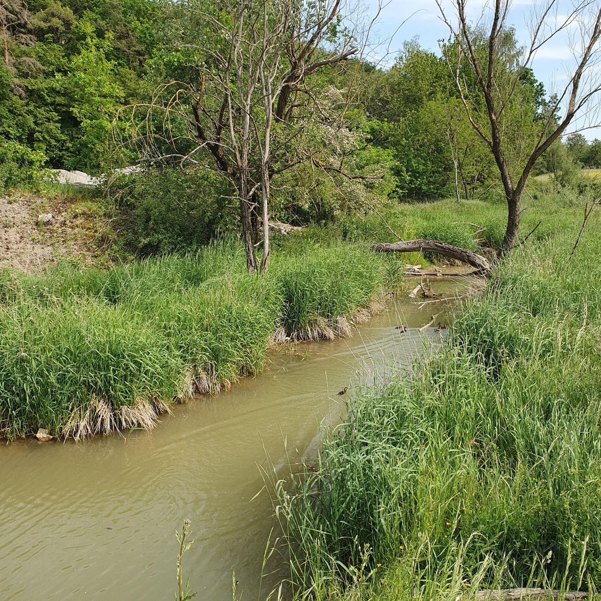
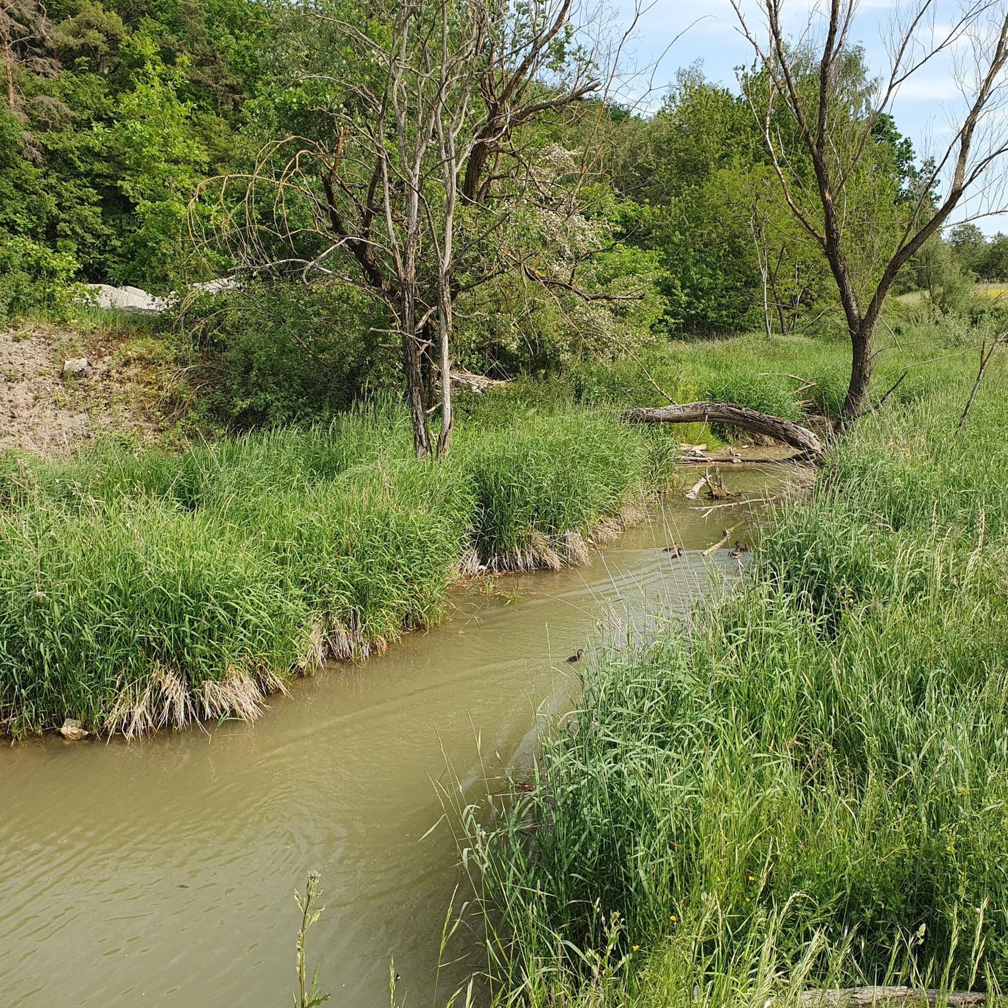
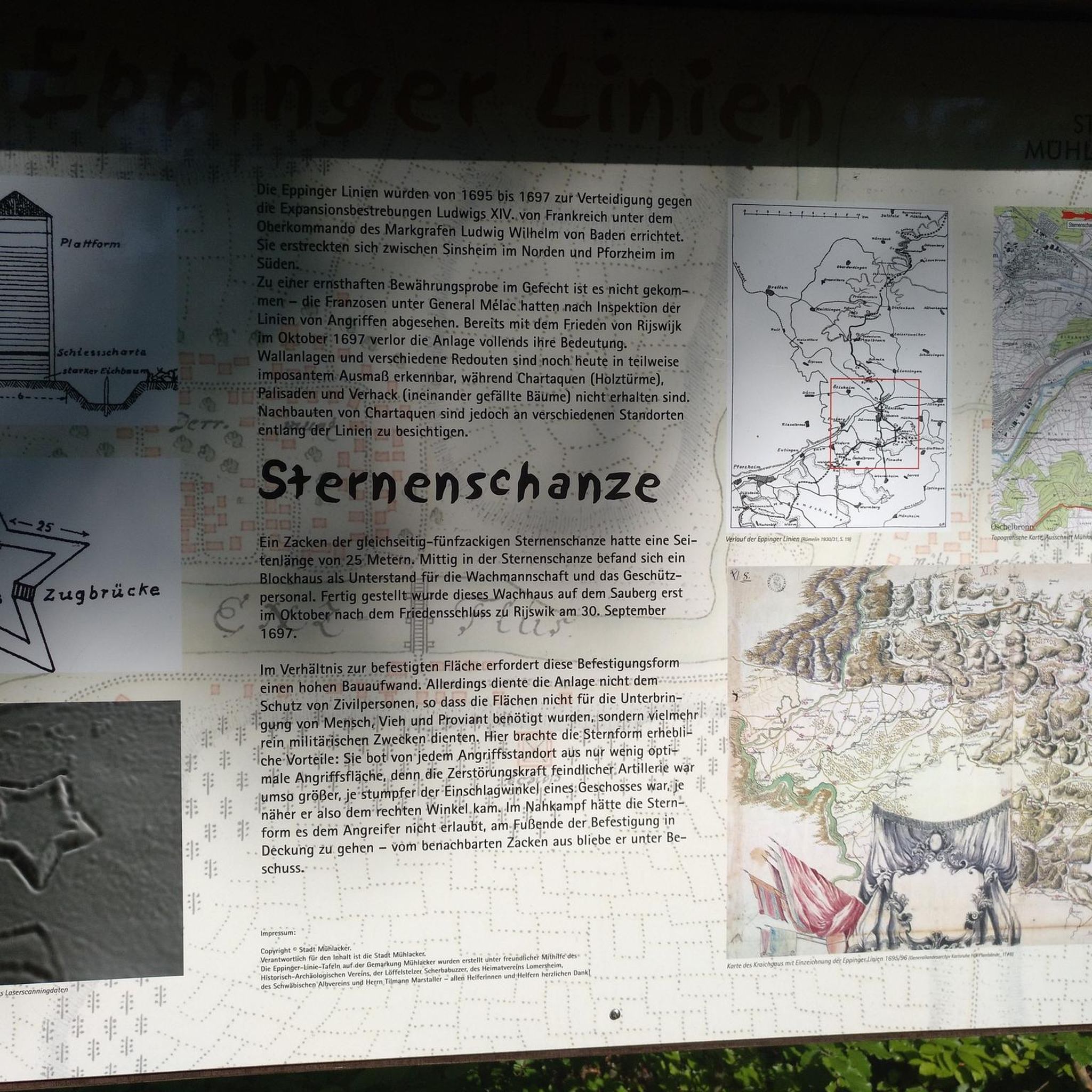
Other adventures around Dittelbrunn

Tips from the Community

A very pleasant rest area at the Holzhausen/Pfändhausen/Hambach intersection, featuring a cross-bearer. A cross-bearer (also known as a cross-carrying figure or cross-slinger; colloquially called a cross-beater or cross-sleeper[1]) is a depiction of Christ carrying the cross as a freestanding figure. This distinctive form of wayside shrine, which emerged in the 17th century, is particularly widespread in Franconia and is a prominent feature of the landscape, especially in the Catholic dioceses of Bamberg and Würzburg.
0
0

A former military training area with waterholes, numerous hedgerows, and a fair amount of history. The meadows are largely untouched and kept short by sheep, cattle, and horses.
1
0
A beautiful view of the setting sun. Provided the timing is right for sunset!
0
0

Here, too, beautiful views and a good road allow you to let your gaze wander while driving
0
0

Added to the collection: https://www.komoot.com/de-de/collection/3600632/-naturen-denkmaeler-besondere-baeume-und-weitere-schaetze-der-natur
0
0

Beautiful view of the vastness of the Rhön
0
0


Frequently Asked Questions
How many touring cycling routes are available around Dittelbrunn?
There are over 50 touring cycling routes around Dittelbrunn, offering a wide variety of options for different preferences and skill levels. The region's extensive network provides ample choice for exploring the Lower Franconian landscape.
What kind of scenery will I encounter on touring cycling routes in Dittelbrunn?
You can expect diverse and picturesque scenery, including rolling hills, verdant meadows, and dense forests. Many routes lead through fields and past idyllic villages. The proximity to the Main River also allows for tours along its banks, offering wonderful panoramic views. You might also find routes near the Haßberge Nature Park.
What is the best time of year for touring cycling in Dittelbrunn?
The most popular months for touring cycling in Dittelbrunn are June and July, when the weather is typically pleasant for outdoor activities. However, the region's natural beauty can be enjoyed throughout the warmer months, from spring to early autumn.
Are there easy touring cycling routes suitable for beginners or families?
Yes, Dittelbrunn offers a good selection of easy touring cycling routes. There are 21 easy routes available, perfect for beginners or families looking for a relaxed ride. An example is the Mainberg Castle – View of Mainberg Castle loop from Dittelbrunn, which is 19.6 miles (31.5 km) long and offers gentle terrain.
What are some notable sights or attractions along the touring cycling routes?
Along the routes, you can discover various points of interest. These include cultural landmarks like the baroque Pilgrimage Church of the Holy Cross (Talkirche) and the Gothic St. Laurentius Church in Dittelbrunn. Natural attractions include the Sauerstücksee and the Liebfrauensee Park. You might also pass by the Bad Kissingen spa gardens or the unique Wichtelhöhlen Rock Formations.
Are there any circular touring cycling routes in Dittelbrunn?
Many of the touring cycling routes around Dittelbrunn are designed as loops, allowing you to start and end your journey in the same location. For example, the moderate Werrn Valley Countryside Route – Cycle Path to Maibach loop from Dittelbrunn is a popular circular option that takes you through varied terrain.
What are the difficulty levels of touring cycling routes in Dittelbrunn?
The routes cater to various fitness levels. There are 21 easy routes, 23 moderate routes, and 8 difficult routes. This range ensures that both casual riders and experienced cyclists can find suitable challenges.
Can I find routes that are suitable for cycling with dogs?
While specific dog-friendly routes aren't explicitly designated, many of the touring cycling paths in Dittelbrunn traverse natural landscapes like forests and meadows, which can be enjoyable for well-behaved dogs on a leash. Always ensure your dog is comfortable with the distance and terrain, and carry enough water for both of you.
Are there any routes that offer scenic viewpoints?
Yes, the region's rolling hills and proximity to the Main River provide several opportunities for scenic viewpoints. The Observation Platform at Sauerstücksee is one such spot, and routes along the Main River banks often offer panoramic vistas. Incorporating historical sites like the ruins of Aura Castle or the Kreuzberg lookout point into your tour can also provide great views.
What do other touring cyclists enjoy most about cycling in Dittelbrunn?
The area is highly rated by the komoot community, with an average score of 4.3 stars from over 200 reviews. Reviewers often praise the diverse terrain, the peaceful rural experience through green meadows and idyllic villages, and the well-maintained cycling network that offers options for all abilities.
Are there any routes that follow old railway lines?
Yes, the broader Franconian region, including areas around Dittelbrunn, is known for its 'railway cycle paths.' These are often converted old railway lines, providing smooth and scenic rides that are generally flatter and easier to navigate, making them ideal for relaxed touring.
Are there options for longer touring cycling routes?
Yes, while there are many shorter loops, you can find longer routes or combine existing ones for extended tours. For example, the moderate Cycle Path to Maibach – Kneipp pool Oberwerrn loop from Dittelbrunn covers 20.2 miles (32.5 km), and other routes like the 'Auf Spuren des Kuppenritts' can be over 100 km, offering more challenging distances.
Most popular routes around Dittelbrunn
Most popular attractions around Dittelbrunn

Get inspired with the komoot mobile app


Explore more
Browse the best Cycling routes in other regions.
