The best road cycling routes around Dittelbrunn
4.4
(481)
6,932
riders
13
rides
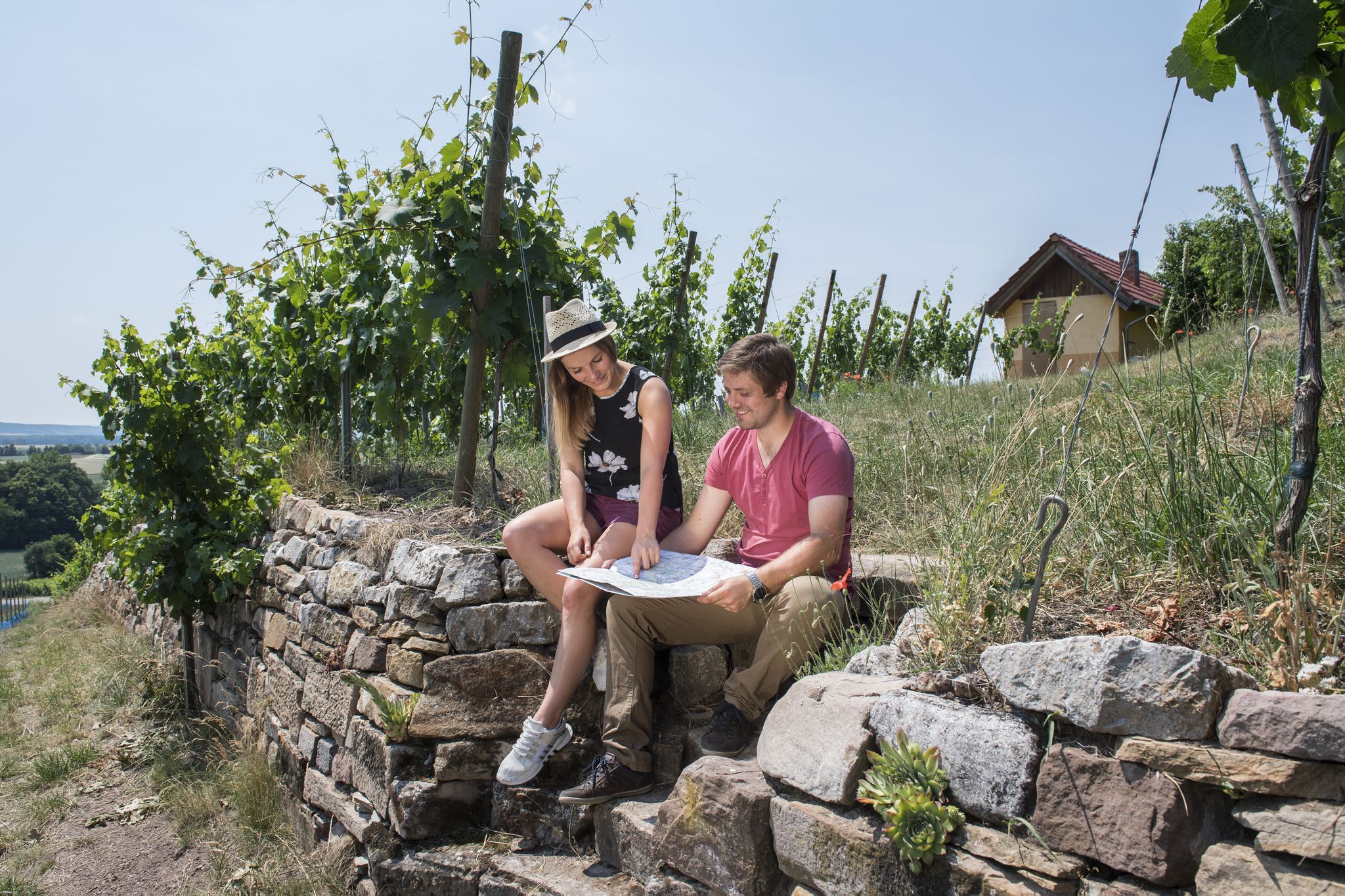
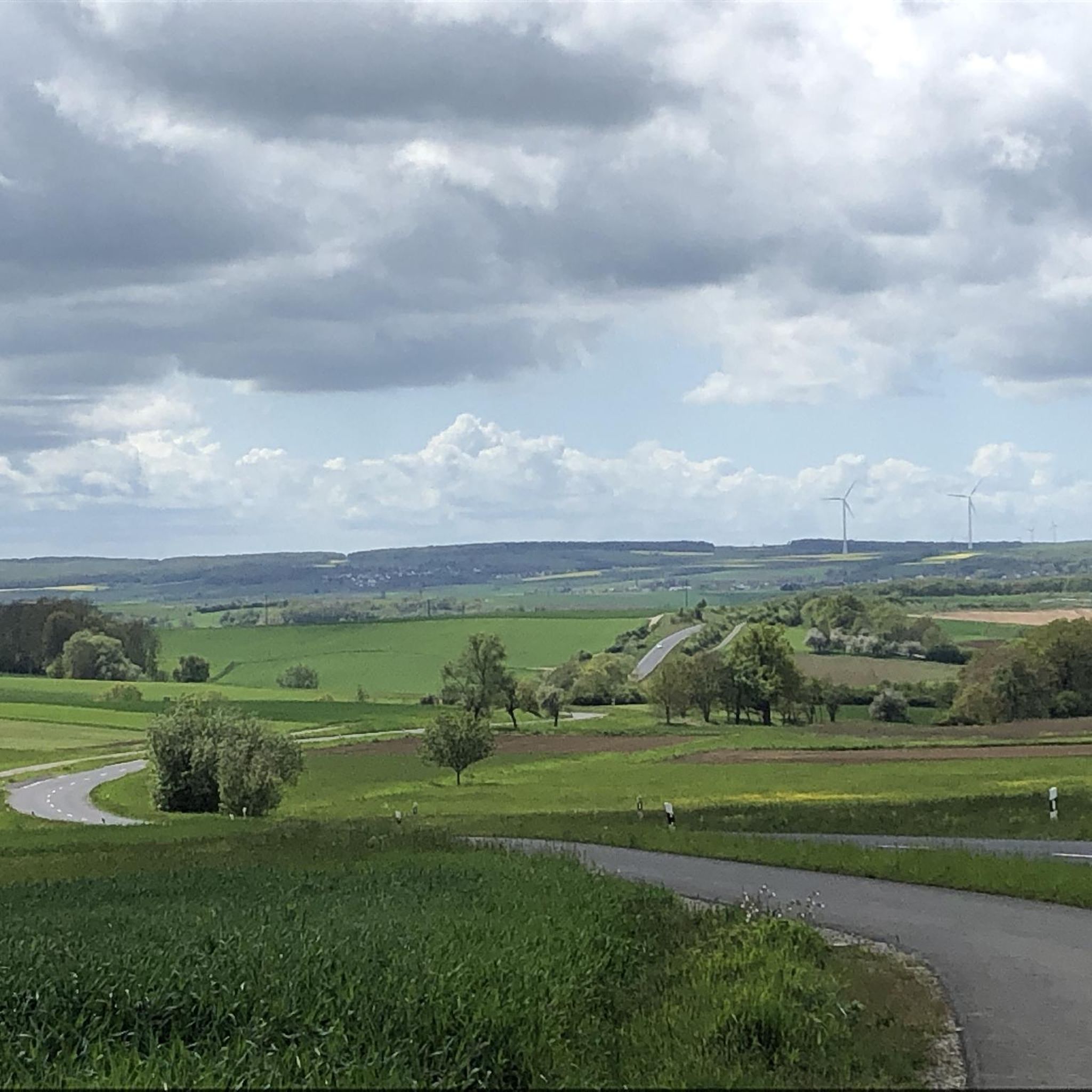
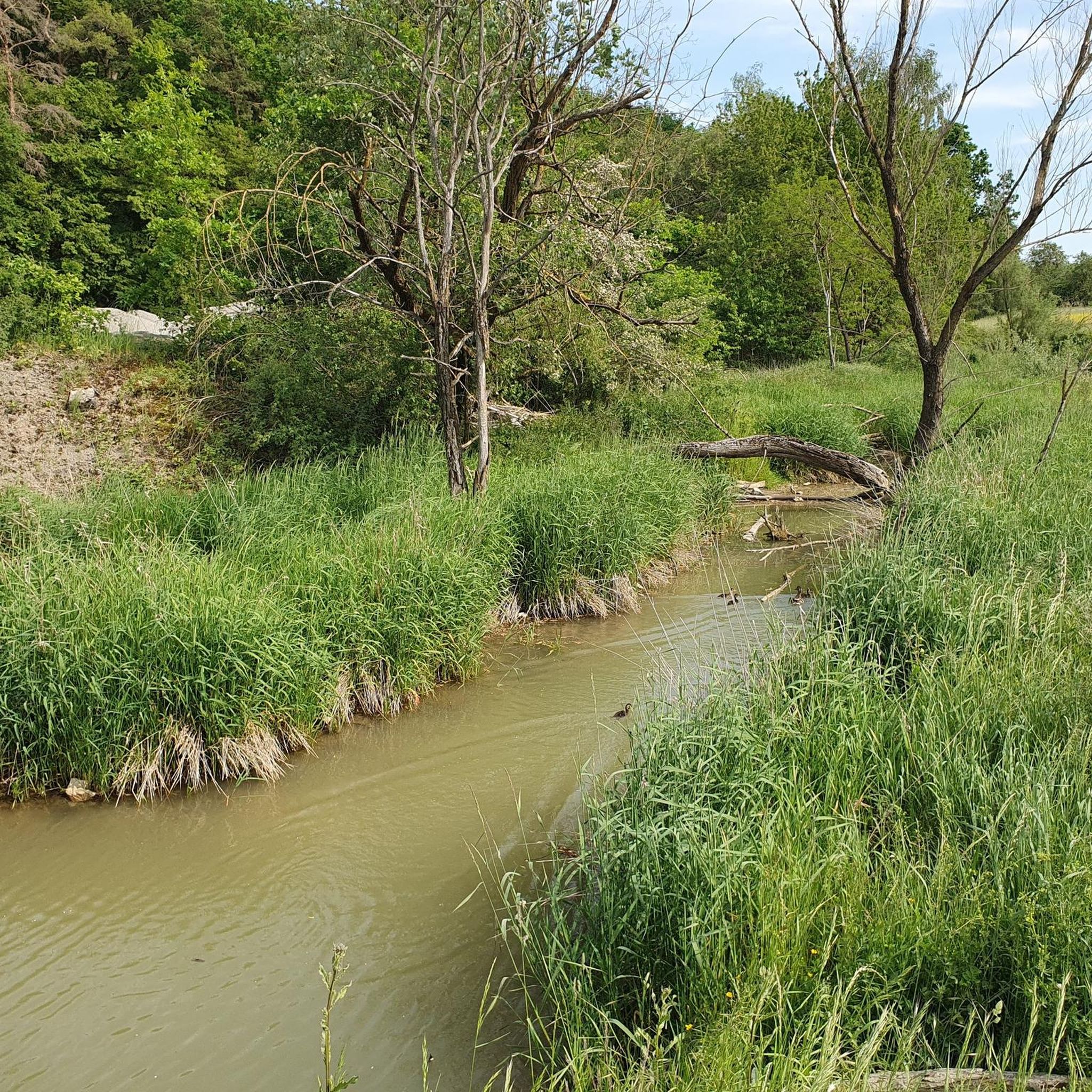
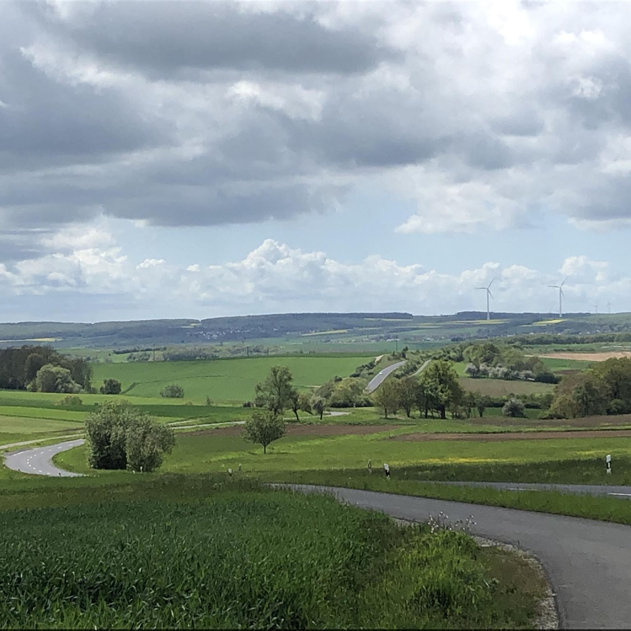
Road cycling routes around Dittelbrunn traverse a varied landscape characterized by rolling hills and picturesque river valleys. The region features charming vineyards and unspoiled forests, offering diverse scenic backdrops for road cyclists. Well-paved roads and dedicated cycle paths provide suitable infrastructure. The terrain offers options ranging from less strenuous riverside paths to more challenging routes through elevated areas, including sections in Grabfeld and Haßberge.
Best road cycling routes around Dittelbrunn
- The most popular road cycling route is View of Pfersdorf…
Last updated: July 1, 2026
2.0
(1)
36
riders
42.5km
01:54
430m
430m
Moderate road ride. Good fitness required. Mostly well-paved surfaces and easy to ride.
4.0
(3)
16
riders
20.4km
00:53
190m
190m
Easy road ride. Great for any fitness level. Mostly well-paved surfaces and easy to ride.

Sign up for free
3.0
(1)
21
riders
22.5km
01:02
170m
170m
Easy road ride. Great for any fitness level. Mostly well-paved surfaces and easy to ride.
10
riders
48.3km
02:23
680m
680m
Moderate road ride. Good fitness required. Some segments of this route may be unpaved and difficult to ride.
5.0
(1)
13
riders
18.8km
00:51
200m
200m
Easy road ride. Great for any fitness level. Mostly well-paved surfaces and easy to ride.
Get access to more routes and recommendations from other explorers.
Sign up for free
Already have an account?
Our route recommendations are based on thousands of hikes, rides, and runs completed by other people on komoot.
Start today with a free account
Your next adventure awaits.
Login or Signup
Other adventures around Dittelbrunn

Tips from the Community

Roman Catholic Parish Church of the Nativity of Mary - Before the establishment of the parish, Hambach was likely a branch of Maibach. Prince-Bishop Julius Echter von Mespelbrunn had the chancel tower of the church built around 1600 on Romanesque foundations. The nave, originally built with two window bays, was constructed in 1734 and extended by two more window bays in 1928. Two side wings were added between 1988 and 1990. The nave is oriented towards the eastern chancel in the lower level of the church tower. The church tower is built in the Echter style. The walls of the nave are pierced to create transitions to the northern and southern side wings. The church furnishings are Baroque, dating from the time the nave was built. The central figure of the high altar, which, like the side altars, has two columns, is a gilded Madonna and Child. The pulpit depicts the four Evangelists. Next to it, a crucifix from 1952. Wikipedia
0
0

A great bike path in beautiful scenery. No bumps, no potholes, etc. Riding away from traffic is really fun, and you can even pick up some speed. Simply fantastic!
0
0


Beautiful half-timbered house in Greßthal. A photo stop is almost obligatory!
0
0

nice to drive up and down, new road surface nice to drive
0
0

Small town hall square in the center of the village. The Christmas market always takes place here at Christmas time
0
0
The church consists of the nave with three window axes and the eastern church tower, a Julius Echter tower. The high altar is classicist and dates from around 1780, as is the pulpit. The side altars are early baroque works from around 1660 with wooden figures of Saints Kilian and Rochus from around 1510. On the ceiling of the nave is a painting showing Saint Kilian above a depiction of the village of Holzhausen. In the corners are medallions of the four evangelists.
0
0

Beautiful chapel on the edge of the forest of Sulzthal, with a beautiful view of the community
1
0
Frequently Asked Questions
How many road cycling routes are available around Dittelbrunn?
There are over 10 road cycling routes around Dittelbrunn, offering a variety of experiences for different skill levels. The komoot community has explored these routes extensively, with over 7,000 road cyclists using komoot to navigate the area.
What kind of terrain can I expect on road cycling routes in Dittelbrunn?
Road cycling routes in Dittelbrunn feature a diverse landscape of rolling hills and picturesque river valleys. You'll encounter charming vineyards and unspoiled forests, providing varied scenic backdrops. The terrain ranges from less strenuous riverside paths to more challenging routes with significant elevation changes, such as the View of Pfersdorf loop from Hambach.
Are the road cycling routes around Dittelbrunn suitable for beginners?
Yes, Dittelbrunn offers routes suitable for beginners. For instance, the Roadbike loop from Dittelbrunn is classified as easy, covering 13.1 miles (21.1 km) with moderate elevation gain, making it a good option for those new to road cycling.
What are the typical road conditions and traffic levels on Dittelbrunn's cycling paths?
The region is known for its well-paved roads and dedicated cycle paths, ensuring a suitable infrastructure for road cyclists. Many routes utilize quiet roads and rarely used byways, offering an enjoyable riding experience away from heavy traffic.
What natural features or landmarks can I see along the road cycling routes?
Cyclists can enjoy a variety of natural and cultural sights. Routes often pass through vineyards, forests, and along river valleys. Notable natural features include the Wichtelhöhlen Rock Formations and the Tännig Sand Dune. You might also encounter historical sites like the Bad Kissingen spa gardens or the Sisi Monument.
What do other road cyclists enjoy most about cycling in Dittelbrunn?
The road cycling routes in Dittelbrunn are highly rated by the komoot community, with an average score of 4.4 stars from over 400 reviews. Reviewers often praise the varied terrain, the mix of cultural sights and open landscapes, and the well-maintained paths that make for a pleasant cycling experience.
Are there any challenging road cycling routes for experienced riders?
Yes, Dittelbrunn offers routes with significant elevation gain for more experienced riders. The Sulzthal Serpentines – Obbach Sunflower Fields loop from Hambach, for example, is a moderate route spanning over 50 km with nearly 700 meters of elevation gain, providing a good challenge.
What is the best time of year for road cycling in Dittelbrunn?
The region's diverse landscapes, including vineyards and forests, are particularly beautiful during spring and autumn. The weather during these seasons is generally mild and pleasant for cycling. Summer also offers good conditions, though it can be warmer. Winter cycling might be possible, but road conditions could be affected by colder weather.
Are there options for family-friendly road cycling routes in Dittelbrunn?
While specific 'family-friendly' road cycling routes are not explicitly detailed, the presence of less strenuous riverside paths and easy loops like the Roadbike loop from Dittelbrunn suggests options suitable for families looking for a more relaxed ride on paved surfaces.
Where can I find parking for road cycling routes in Dittelbrunn?
While specific parking locations are not detailed for each route, Dittelbrunn and its surrounding villages generally offer public parking options. It's advisable to look for parking near the start points of routes or in town centers, which often have designated parking areas for visitors.
Can I access road cycling routes in Dittelbrunn using public transport?
Dittelbrunn is connected by public transport, which can facilitate access to the region. While specific details on bike transport on public services are not provided, Germany generally has good infrastructure for combining cycling with public transport. Check local bus or train schedules for options to reach Dittelbrunn and nearby starting points.
Are there any cultural sights or charming villages to explore along the routes?
Yes, many road cycling routes in the Dittelbrunn area pass through charming villages, offering opportunities to experience authentic European charm. You can also find historical and cultural sights, such as the Baroque pilgrimage church 'Talkirche' in the broader region, enhancing your cycling experience with cultural exploration.
Most popular routes around Dittelbrunn
Most popular attractions around Dittelbrunn

Get inspired with the komoot mobile app


Explore more
Browse the best Road cycling routes in other regions.
