The best walks and hikes around Robie Creek
4.7
(33)
504
hikers
49
hikes
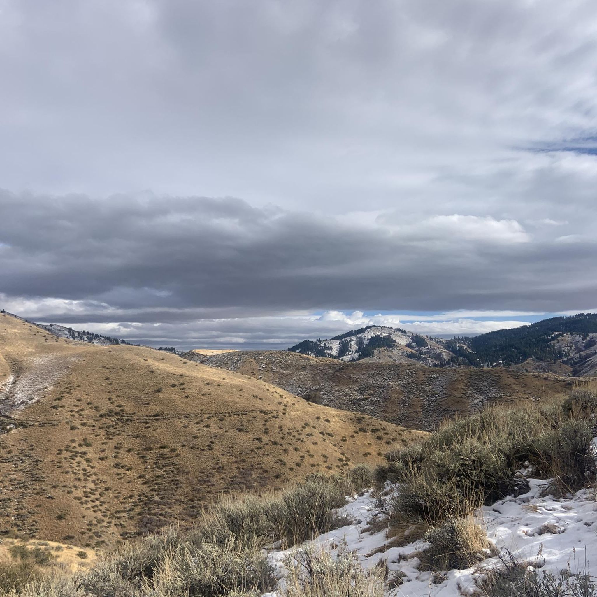
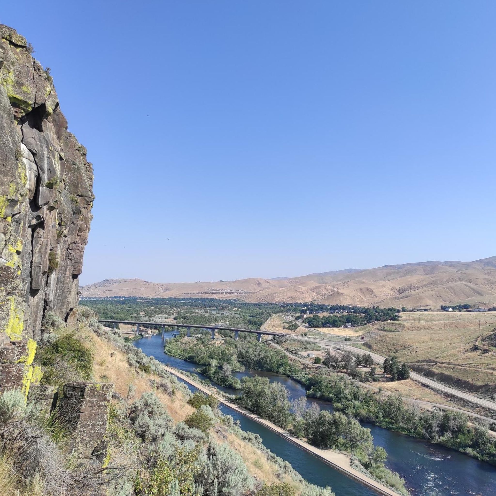
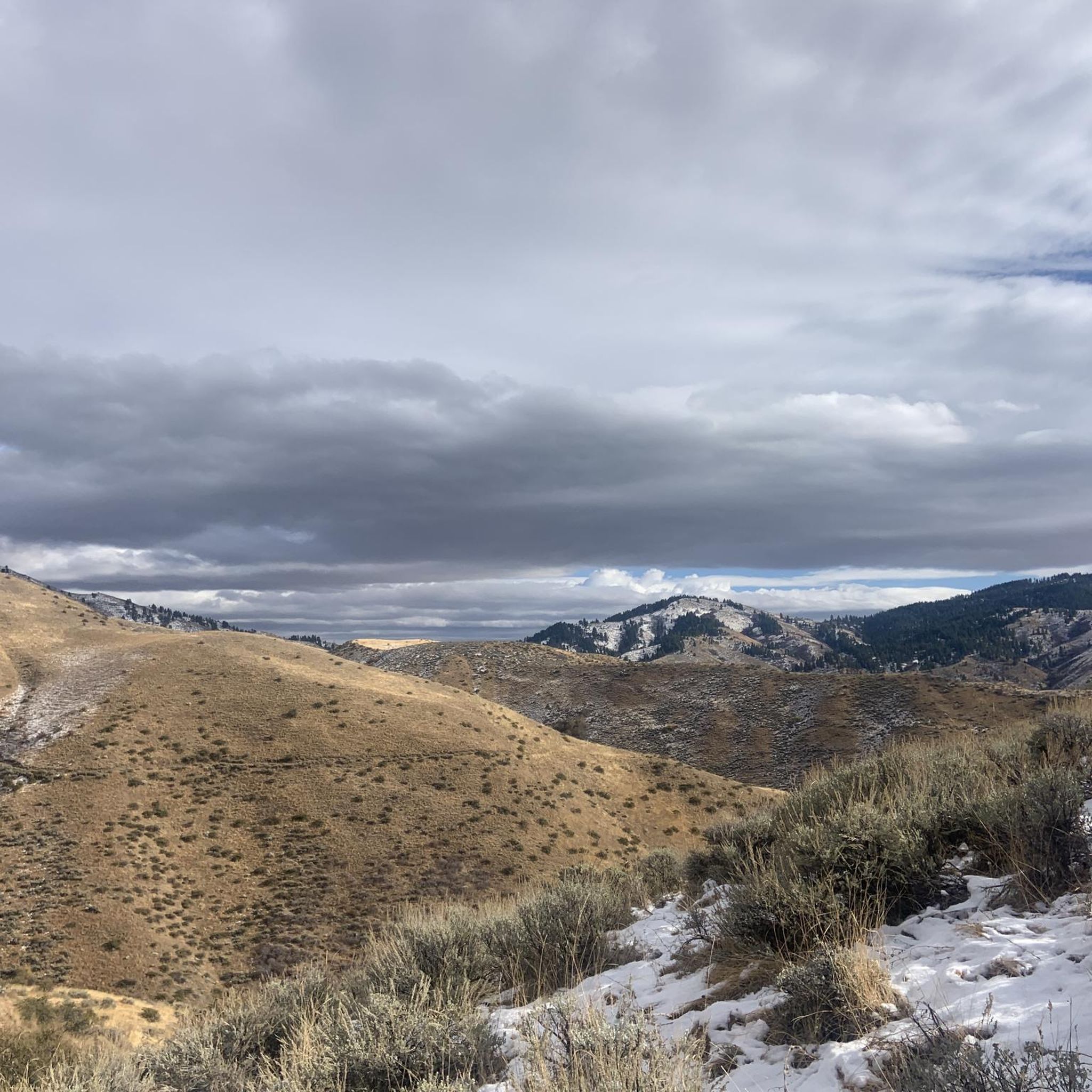
Hikes around Robie Creek Idaho are set within the Boise National Forest. The landscape is characterized by rolling hills, forested gulches, and trails that run near features like Lucky Peak Lake and Mores Creek. The routes offer a mix of terrain, from nature trails in reserves to more challenging ascents to peaks and rock formations.
Best hiking trails around Robie Creek
- The most popular hiking route is Stack Rock loop — Boise National Forest, a 11.2 mile (18.1 km)…
Last updated: June 25, 2026
2
hikers
4.27km
01:10
20m
140m
Easy hike. Great for any fitness level. Easily-accessible paths. Suitable for all skill levels.
4.0
(1)
2
hikers
12.4km
03:35
280m
410m
Moderate hike. Good fitness required. Easily-accessible paths. Suitable for all skill levels.

Sign up for free
1
hikers
14.3km
04:41
700m
550m
Moderate hike. Good fitness required. Easily-accessible paths. Suitable for all skill levels.
1
hikers
18.5km
05:28
570m
550m
Hard hike. Very good fitness required. Easily-accessible paths. Suitable for all skill levels.
4.71km
01:24
130m
150m
Easy hike. Great for any fitness level. Easily-accessible paths. Suitable for all skill levels.
Get access to more routes and recommendations from other explorers.
Sign up for free
Already have an account?
Our route recommendations are based on thousands of hikes, rides, and runs completed by other people on komoot.
Start today with a free account
Your next adventure awaits.
Login or Signup
Popular around Robie Creek
Tips from the Community

Noble Reserve is 598 acres in size, and was donated to the City by Allen and Billie Dee Noble in 2003. There are trails going through the preserve and it is open to the public.
1
0

This is a great place to stop and take in the views on your way up or down the mountain. Though it's not far Boise seems small when you're looking down on it from above.
0
0
If you're heading further out on the trail you'll be on the pedestrian only section of Hulls Gulch. Walking down towards town on Lowers Hulls Gulch will have you sharing the trail with bikers. Both options are great, you just need to be aware of fast moving bikers on the lower section.
0
0
This intersection marks the terminus of the bikeable Lower Hull's Gulch trail. Beyond this point is pedestrian only but Lower Hull's Gulch is a great little ride that riders need to take care on due to its popularity with hikes, runners, etc.
0
0

Five Mile Gulch Trail will climb steeply from here. The Watchman trail will provide a flowy downhill with a couple of steep sections.
0
0
Five Mile Gulch Trail is a great connector to Watchman Trail and Orchard Gulch. It climbs gently through large Cottonwood and Locust trees with a few stream crossings. The last section above Watchman Trail climbs steeply and is better as a downhill.
0
0

The Watchman Trail leads to a scenic canyon with shrubs and rolling hills. If you like solitude, this is your hike. It is connected to the Five Mile Gulch and Three Bears Trail, so you can hike a nice loop.
2
0
The Red Cliffs area in the Hulls Gulch Reserve is great for a leisure after work or weekend stroll. Bring enough water if you are out here during the summer months as there is few shade.
2
0
Frequently Asked Questions
Are there many dog-friendly trails near Robie Creek?
Yes, the Robie Creek area is very welcoming for hikers with dogs. Many trails in the Boise Foothills allow dogs, and some areas are specifically designated for off-leash fun. For example,
The Military Reserve is a popular choice, known for its extensive off-leash areas. Similarly, Hulls Gulch/Camel's Back Reserve is highly regarded by local dog owners for its trails and seasonal water sources for pets.
Always check the specific trail regulations on-site, as leash rules can vary.What are some good family-friendly hikes in the area?
For a relaxed day out with the family, Robie Creek Park is an excellent starting point. It features a playground, picnic areas, and a kid-friendly swim area by Lucky Peak Lake. For an easy but scenic walk, consider the Hulls Gulch Nature Trail – Boise Front ACEC. It's a relatively gentle path that offers a great introduction to the local landscape without being too strenuous.
I'm looking for a challenging hike. What do you recommend?
If you're seeking a strenuous workout with rewarding views, the Stack Rock loop — Boise National Forest is a difficult 11.2-mile (18.1 km) trek. It involves significant elevation gain through the forest and is a favorite for experienced hikers looking to push themselves.
Are there any circular or loop trails available?
Yes, there are several great loop trails. A popular moderate option is the Five Mile Gulch, Watchman & Three Bears Loop – Noble Reserve. This 6-mile (9.6 km) route takes you through varied terrain within the reserve, making for an engaging hike without having to backtrack.
What kind of scenery can I expect on the trails?
The hiking trails around Robie Creek offer diverse scenery. You'll encounter rolling green hills, dense forested gulches within the Boise National Forest, and open grassy meadows. Many trails provide stunning views of Lucky Peak Lake and the surrounding mountains. Some routes, like the one to Adelmann Mine, also pass by historical sites from Idaho's gold rush era.
How many hiking trails are there around Robie Creek?
There are over 25 designated hiking routes to explore around Robie Creek. The selection ranges from easy nature walks suitable for all skill levels to difficult mountain ascents for seasoned hikers, ensuring there's a trail for every type of adventure.
What do other hikers think of the trails in this region?
The area is highly regarded by the komoot community, with an average rating of 4.7 stars. Hikers often praise the well-maintained trails, the beautiful views of the Boise National Forest, and the variety of hikes available, from challenging peaks to peaceful walks along creeks.
Are there any trails that lead to a specific point of interest?
Yes, the Adelmann Mine – Boise National Forest trail is a great example. This moderate 4.4-mile (7.1 km) hike leads you to the site of a historic mine, offering a glimpse into the region's mining past. The trailhead is located off Rocky Canyon Road.
What's a good hike for great views that isn't too long?
For incredible panoramic views without an all-day commitment, the hike to Cervidae Peak – Lucky Peak State Park is a fantastic choice. It's a steady 4.5-mile (7.3 km) climb that rewards you with expansive vistas over Lucky Peak Lake and the surrounding landscape.
When is the best time of year to hike around Robie Creek?
Spring and fall are ideal for hiking in the Robie Creek area. In spring, the hills are vibrant green and wildflowers are abundant. Fall offers pleasant temperatures and beautiful autumn colors. Summer can be very hot, so early morning starts are recommended. Winter hiking is possible on lower elevation trails, but be prepared for snow and ice at higher altitudes.
What are the parking and access like for the trailheads?
Access to most trailheads, like the one for Adelmann Mine, is typically via forest service roads such as Rocky Canyon Road. Parking is usually available at designated trailheads, but lots can fill up quickly on weekends. It's always a good idea to arrive early to secure a spot. Some roads may be unpaved, so check conditions before you go, especially after rain or snow.
Most popular routes around Robie Creek
Most popular attractions around Robie Creek

Get inspired with the komoot mobile app


