The best mountain hikes around Burnmoor Tarn
4.9
(11)
96
hikers
6
hikes
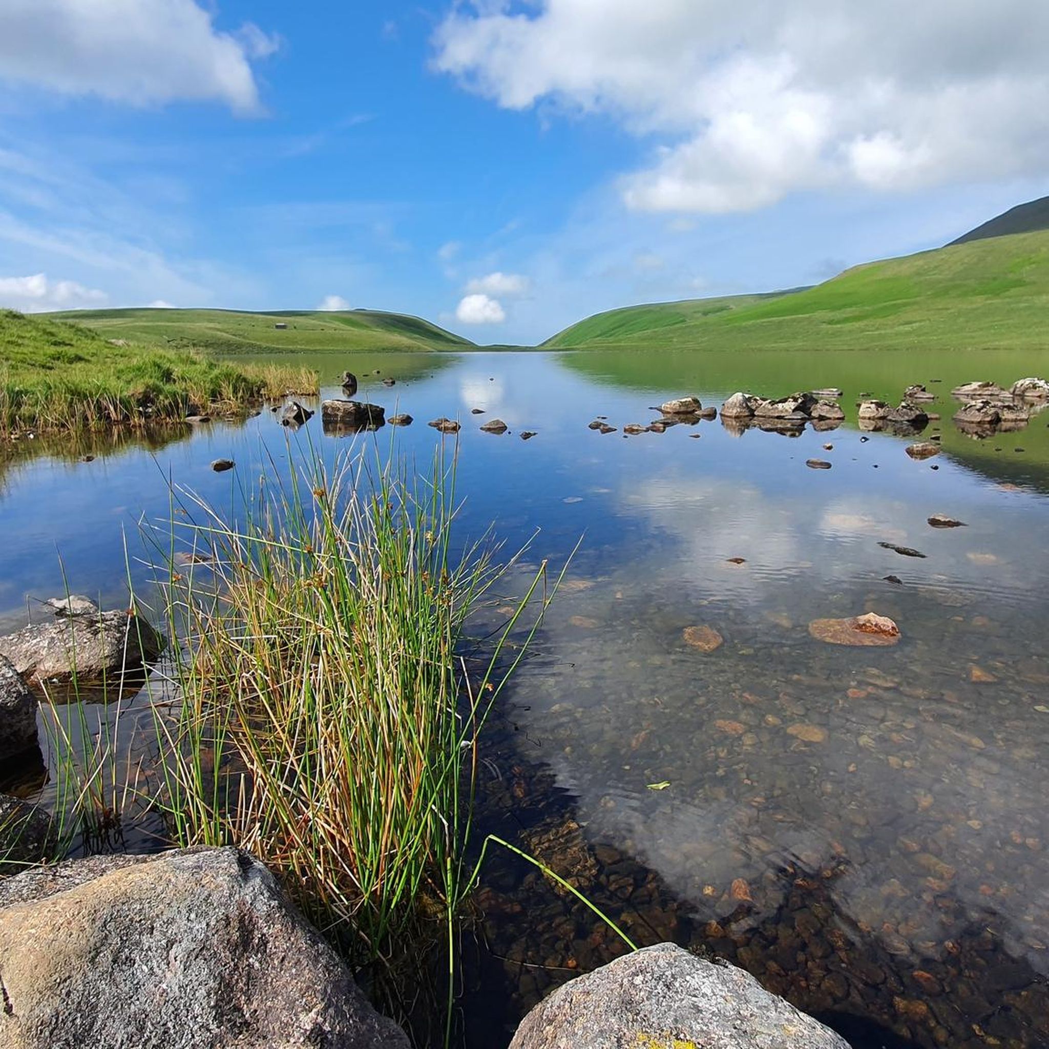
Mountaineering around Burnmoor Tarn offers access to some of England's highest fells and most challenging terrain. The region is characterized by rugged mountain landscapes, deep valleys, and prominent peaks, including Scafell Pike. These routes often involve significant elevation gain and rocky ascents, providing a demanding experience for mountaineers. The area's geology contributes to its dramatic scenery, with exposed rock faces and expansive views across the Lake District.
Best mountaineering routes around Burnmoor Tarn
- The most popular mountaineering route is Scafell…
Last updated: June 24, 2026
4.8
(8)
83
hikers
8.52km
05:00
890m
890m
Hard mountaineering route. Very good fitness required. Sure-footedness, sturdy shoes and alpine experience required.
5.0
(2)
2
hikers
14.6km
06:06
930m
930m
Hard mountaineering route. Very good fitness required. Sure-footedness, sturdy shoes and alpine experience required.

Sign up for free
5
hikers
12.2km
05:37
890m
890m
Hard mountaineering route. Very good fitness required. Sure-footedness, sturdy shoes and alpine experience required.
5.0
(1)
3
hikers
9.77km
05:17
930m
930m
Hard mountaineering route. Very good fitness required. Sure-footedness, sturdy shoes and alpine experience required.
1
hikers
6.52km
03:07
530m
530m
Hard mountaineering route. Good fitness required. Sure-footedness, sturdy shoes and alpine experience required.
Our route recommendations are based on thousands of hikes, rides, and runs completed by other people on komoot.
Start today with a free account
Your next adventure awaits.
Login or Signup
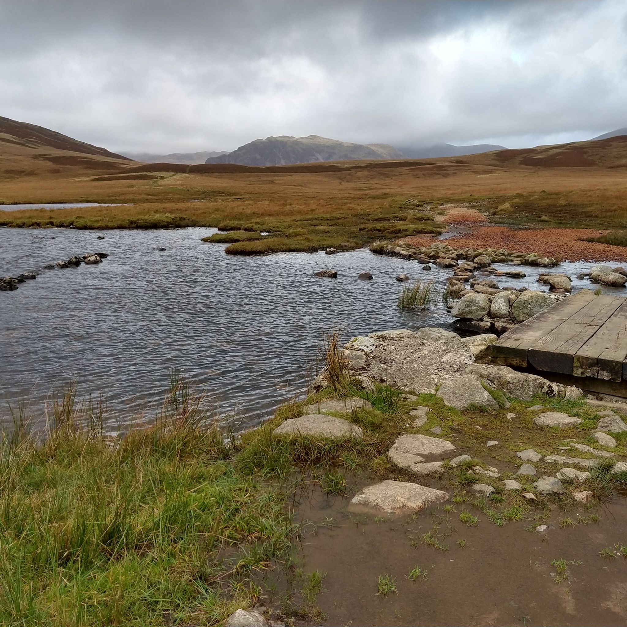
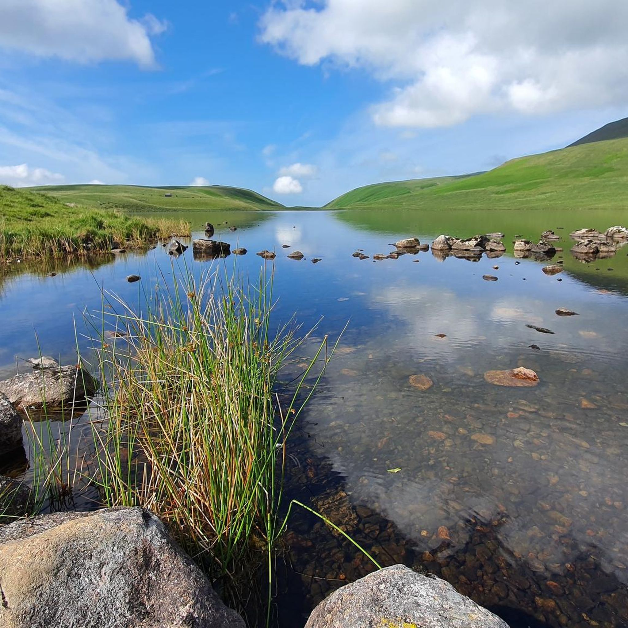
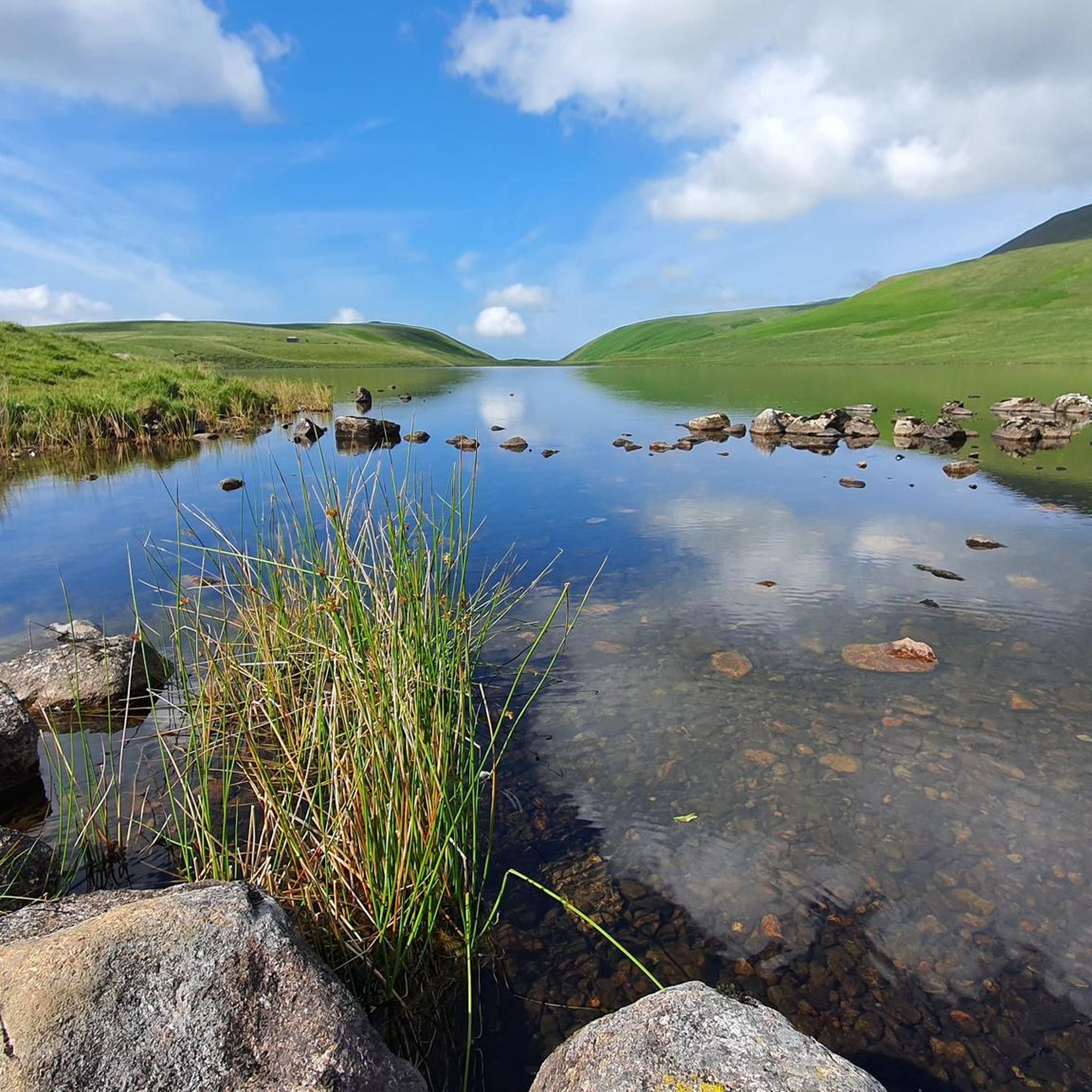
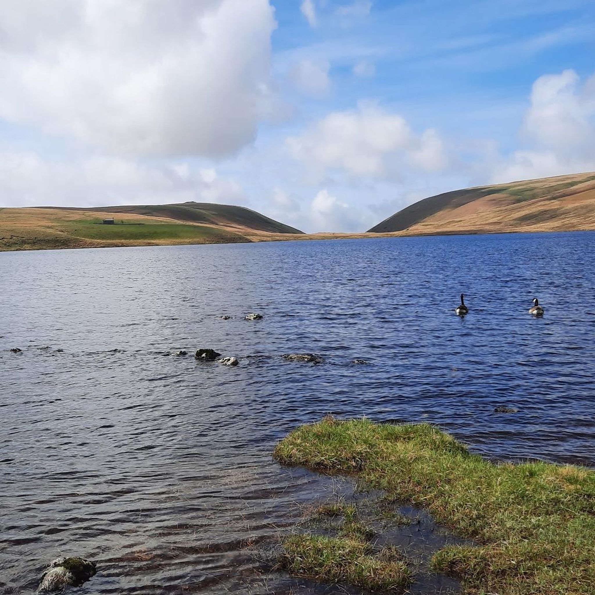
Tips from the Community

Sprinkling Tarn sits nestled in the most beautiful mountain scenery in England. It is surrounded by some of the most dramatic mountain peaks in this green and pleasant land and includes Scafell, Great Gable and Great End. It is the most beautiful place and definitely up there as one of the most picturesque tarns in the Lake District.
0
0


Englands highest mountain with fantastic views on a clear day but can be very busy in the summer.
0
0

Unfortunately it was dry when I came down this route. But lovely views to be had 😎
0
0
This is the ankle killer part ! One step forward 2 back and a twist and turn 🤪 its worse coming down than going up, be careful with your footing and if you slip or skid go with it 😣 good luck.
0
0
The weather can change 20 times before you summit. Make sure you have layers and if possible a hot drink. Ive done this twice both in August's and have been sun burnt on the bottom and wind burnt on the top. 😵💫
0
0
The hike up to Scafell Pike is surrounded in BEAUTY don't forget to look up and around, take it all in and take your time. Closer to the top the terrain is rocky and screen and it tires you out. Save your energy before hand 👌💪🦵
0
0
Frequently Asked Questions
How many mountaineering routes are available around Burnmoor Tarn?
There are 7 mountaineering routes available around Burnmoor Tarn on komoot. These routes primarily offer challenging experiences for experienced mountaineers.
What is the typical difficulty level of mountaineering routes around Burnmoor Tarn?
The mountaineering routes around Burnmoor Tarn are predominantly difficult, with 6 out of 7 routes rated as such. They involve significant elevation gain and rocky ascents, catering to experienced mountaineers seeking a demanding physical challenge.
Are there any easier mountaineering routes suitable for beginners or families?
While most routes are rated difficult, there is one moderate mountaineering route available. However, the region is generally characterized by challenging terrain, making it less suitable for beginners or young families seeking easy hikes. For a moderate option, consider exploring other areas of the Lake District.
Are there circular mountaineering routes around Burnmoor Tarn?
Yes, many of the mountaineering routes around Burnmoor Tarn are circular. For example, the Yewbarrow loop from Wasdale offers a challenging circular experience, covering 6.5 km with over 500 meters of elevation gain.
Can I bring my dog on mountaineering routes near Burnmoor Tarn?
Many routes in the Lake District are dog-friendly, but it's crucial to keep dogs under close control, especially in areas with livestock or ground-nesting birds. The challenging terrain around Burnmoor Tarn means dogs should be fit and accustomed to long, strenuous walks on rocky paths. Always check specific route details for any restrictions.
What is the best time of year to go mountaineering in Burnmoor Tarn?
The best time for mountaineering around Burnmoor Tarn is typically from late spring to early autumn (May to October) when weather conditions are generally more stable, and daylight hours are longer. However, even in summer, the weather in the Lake District can change rapidly, so always be prepared for all conditions.
What are the conditions like for winter mountaineering around Burnmoor Tarn?
Winter mountaineering in Burnmoor Tarn, particularly on peaks like Scafell Pike, can be extremely challenging and should only be attempted by experienced individuals with appropriate winter gear and skills. Conditions can include deep snow, ice, strong winds, and limited visibility, requiring ice axes, crampons, and navigation expertise.
Where can I find parking for mountaineering routes near Burnmoor Tarn?
Parking for routes accessing the Burnmoor Tarn area is typically available in valleys such as Wasdale and Eskdale. Specific car parks like those in Wasdale Head provide access to many of the major routes, including those leading towards Scafell Pike.
Is Burnmoor Tarn accessible by public transport?
Public transport options to the remote Wasdale and Eskdale valleys, which provide access to Burnmoor Tarn, are limited. While some bus services operate in parts of the Lake District, reaching these specific starting points often requires a car or a combination of public transport and pre-booked taxis. Always check local bus timetables in advance.
Are there places to eat or drink near the mountaineering routes?
Given the remote nature of Burnmoor Tarn and the surrounding fells, amenities are scarce directly on the routes. However, in the nearby valleys of Wasdale and Eskdale, you can find traditional pubs like the Wasdale Head Inn, which offer food and drink, perfect for a post-hike refreshment.
What kind of gear should I bring for mountaineering in Burnmoor Tarn?
For mountaineering in Burnmoor Tarn, essential gear includes sturdy waterproof boots, waterproof and windproof clothing layers, a map and compass (and the ability to use them), a headtorch, sufficient food and water, and a first-aid kit. For winter conditions, additional gear like ice axes and crampons are crucial.
What do other mountaineers enjoy most about the routes in Burnmoor Tarn?
The routes around Burnmoor Tarn are highly rated by the komoot community, with an average score of 4.9 stars. Mountaineers often praise the dramatic mountain scenery, the challenging ascents, and the sense of accomplishment from tackling England's highest fells. The rugged, untamed nature of the landscape is a significant draw.
Are there any wild swimming spots close to Burnmoor Tarn?
Burnmoor Tarn itself is a remote mountain tarn, and while some may consider swimming there, the water is often cold and exposed. For more accessible wild swimming, nearby valleys like Eskdale offer river pools and smaller tarns, though always exercise caution and respect the environment.
What are some of the more challenging mountaineering routes in the area?
Beyond the popular Scafell Pike routes, the Sca Fell – Slight Side loop from Eskdale is a particularly challenging option. This 16 km route involves significant elevation changes and traverses rugged terrain, offering a demanding day out for experienced mountaineers.
Most popular routes around Burnmoor Tarn

Get inspired with the komoot mobile app


Explore more
Browse the best Mountain Hikes & Routes in other regions.
