The best mountain hikes around Rivelin Lower Reservoir
4
hikers
3
hikes
Mountaineering routes around Rivelin Lower Reservoir are set within a varied landscape on the eastern boundary of the Peak District National Park. The area features gritstone escarpments, notably Rivelin Rocks (also known as Rivelin Edge), which offer technical climbing opportunities. Beyond the reservoir, the terrain transitions into mixed woodlands, open moorland, and the picturesque Rivelin Valley, characterized by its historical watermills and natural heritage. The adjacent Wyming Brook Nature Reserve adds tranquil forests and cascades to the region's diverse topography.
…Last updated: July 10, 2026
1
hikers
11.3km
03:06
170m
170m
Moderate mountaineering route. Good fitness required. Easily-accessible paths. Suitable for all skill levels.
11.5km
03:17
280m
280m
Moderate mountaineering route. Good fitness required. Easily-accessible paths. Suitable for all skill levels.

Sign up for free
3
hikers
Moderate mountaineering route. Good fitness required. Easily-accessible paths. Suitable for all skill levels.
Our route recommendations are based on thousands of hikes, rides, and runs completed by other people on komoot.
Start today with a free account
Your next adventure awaits.
Login or Signup
Tips from the Community

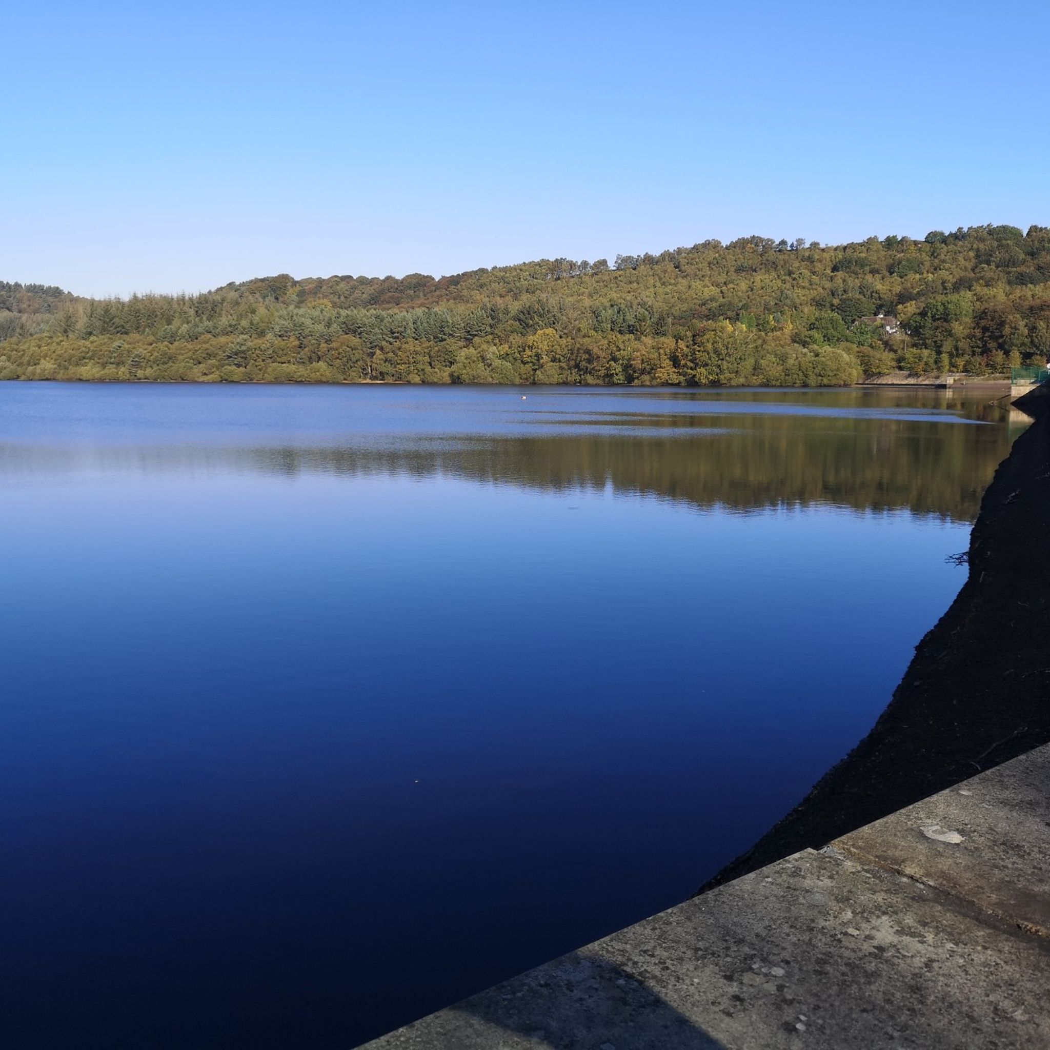
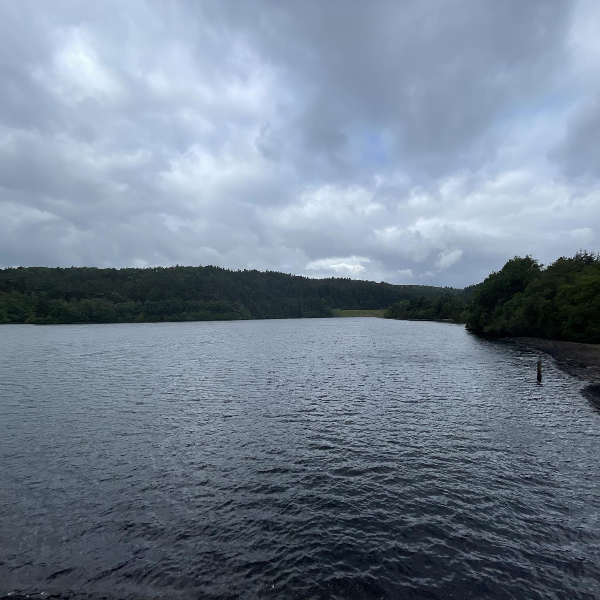
Great spot to walk/run round always uplifting, it can be very muddy and boggy in places after heavy rainfall.
0
0


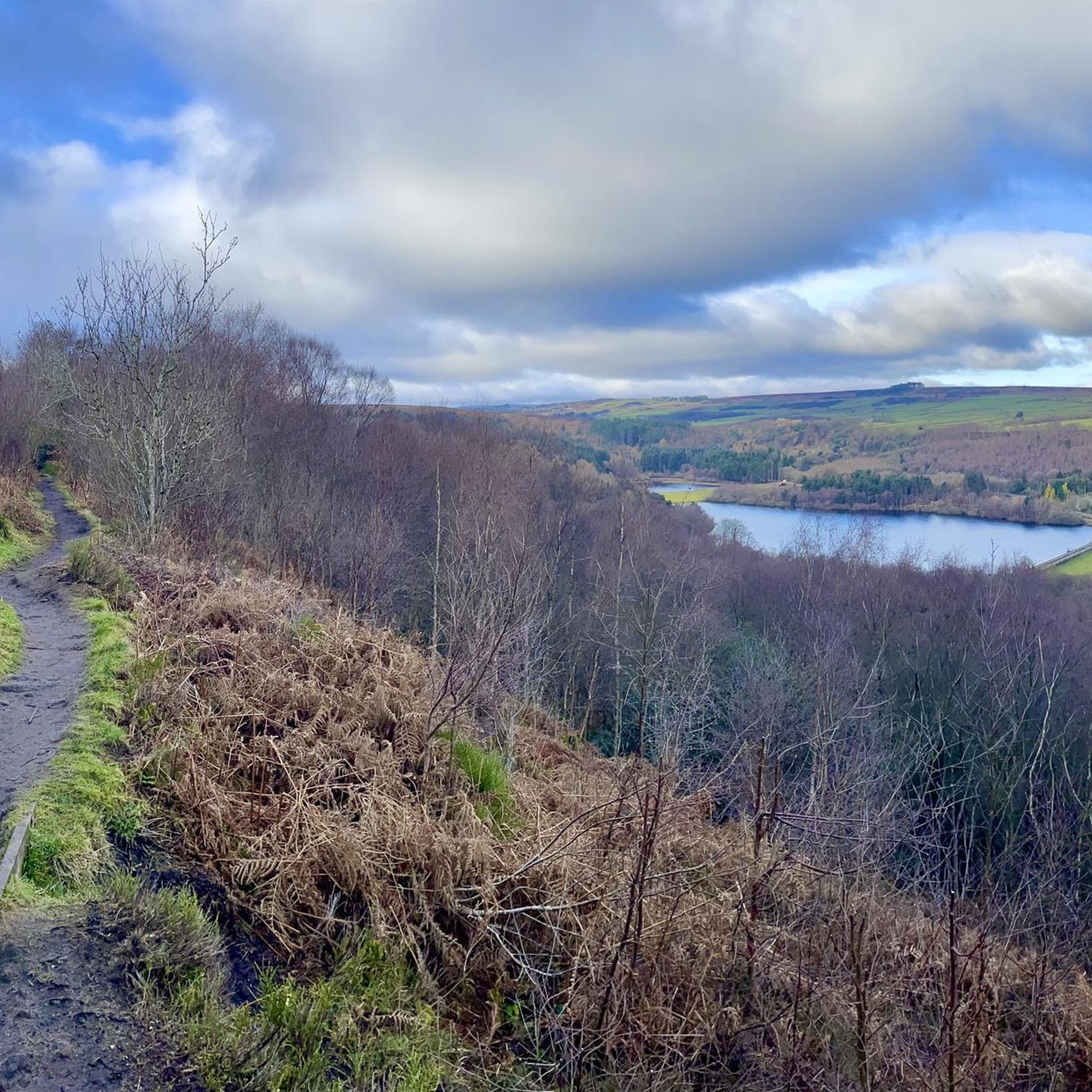
Offer good views down into the valley in-between Burbage edge and higgor tor
0
0


beautiful ikkle spot for a tea break and a picture.
0
0


Perfect sunrise and sunset spot. Great little easy-ish hike. Parking in lay-by.
0
0

There's a coffee van in the car park here at the weekends now - good coffee, good cake.
0
0
Frequently Asked Questions
What kind of mountaineering challenges can I expect around Rivelin Lower Reservoir?
The area offers a diverse range of challenges. While the komoot guide features routes primarily rated as moderate, the broader region is known for its gritstone escarpments, particularly Rivelin Rocks (also known as Rivelin Edge), which provide technical climbing opportunities. You'll find varied terrain including mixed woodlands, open moorland, and valley paths, catering to different skill levels.
Are there any specific climbing spots or notable rock formations in the area?
Yes, directly opposite the dam wall of Rivelin Lower Reservoir is Rivelin Rocks, also known as Rivelin Edge. This popular gritstone escarpment features the notable Rivelin Needle, a 20-meter free-standing gritstone pinnacle with multiple recognized climbing routes. The main edge also offers highly-rated climbs across various grades. For more details on its climbing history and routes, you can refer to Rivelin Rocks on Wikipedia.
What are some of the natural features or landmarks I might encounter on these routes?
Mountaineering routes around Rivelin Lower Reservoir will lead you through the picturesque Rivelin Valley, featuring woodlands and remnants of historic watermills. Adjacent to the reservoirs, the Wyming Brook Nature Reserve is a highlight, known for its tranquil forests, moss-covered trees, and trickling waterfalls. You'll also experience dramatic gritstone edges and open moorland, offering expansive views.
Are there any family-friendly walking options near Rivelin Lower Reservoir?
While the featured routes are mountaineering-focused, the broader Rivelin Valley area is crisscrossed with trails suitable for all levels, including easy, family-friendly strolls. These often traverse waterside paths and mixed woodlands, providing a pleasant outdoor experience for families.
Can I bring my dog on the mountaineering trails around Rivelin Lower Reservoir?
Many trails in the Rivelin Valley and surrounding Peak District are dog-friendly. However, it's always recommended to keep dogs on a lead, especially when passing through livestock areas, nature reserves like Wyming Brook, or during ground-nesting bird seasons. Please respect local signage and ensure your dog is under control.
What is the best time of year to go mountaineering in this region?
The area is enjoyable year-round, but spring and autumn often offer the most pleasant conditions with milder temperatures and vibrant scenery. Summer is also popular, though routes can be busier. Winter mountaineering is possible, but conditions can be challenging with potential for ice and snow on higher ground, requiring appropriate gear and experience.
Are there any circular mountaineering routes available?
Yes, the komoot guide includes several circular routes. For instance, the Stanage Edge Viewpoint – Stanage Edge loop from Redmires Upper Reservoir is a popular circular trail offering expansive views. Another option is the Back Tor Trig Point – Derwent Edge loop from Hallfield, which traverses distinctive gritstone formations.
Where can I find parking for mountaineering routes near Rivelin Lower Reservoir?
Parking is generally available at various points around the reservoirs and trailheads leading into the Peak District. Specific parking areas can be found near Redmires Upper Reservoir, Hallfield, and Bamford, which serve as starting points for some of the featured routes. Always check for local parking restrictions and fees.
Is public transport an option to reach the mountaineering areas?
Yes, the Rivelin Valley is relatively accessible from Sheffield. Public transport options, including bus services, can take you close to the Rivelin Lower Reservoir area, from where you can access various trailheads. For routes further into the Peak District, train services to nearby villages like Bamford might be an option, followed by a walk or local bus connection.
Are there places to eat or drink near the mountaineering routes?
While the immediate vicinity of Rivelin Lower Reservoir is more natural, the broader Rivelin Valley and nearby areas offer cafes and pubs. You'll find options in the surrounding villages and within a short drive towards Sheffield, perfect for a post-climb refreshment or meal.
What is the typical duration for mountaineering routes in this area?
The routes featured in this guide typically range from approximately 2 hours 56 minutes to 3 hours 17 minutes to complete. For example, the Trig point at Win Hill summit – Ladybower Reservoir Overflow loop from Bamford is often completed in about 2 hours 56 minutes, while the Stanage Edge Viewpoint – Stanage Edge loop from Redmires Upper Reservoir takes around 3 hours 6 minutes.
Can I go wild swimming or engage in other water sports in Rivelin Lower Reservoir?
No, swimming, paddleboarding, and other water sports are generally not permitted in Rivelin Lower Reservoir or the surrounding reservoirs. This is due to safety concerns such as cold water, strong currents, hidden machinery, and potential blue-green algae. The reservoirs are primarily for water supply and offer peaceful waterside paths for walking.
Most popular routes around Rivelin Lower Reservoir

Get inspired with the komoot mobile app


Explore more
Browse the best Mountain Hikes & Routes in other regions.
