Rivelin Lower Reservoir
Rivelin Lower Reservoir
The best road cycling routes around Rivelin Lower Reservoir
4.5
(285)
15,729
riders
200
rides
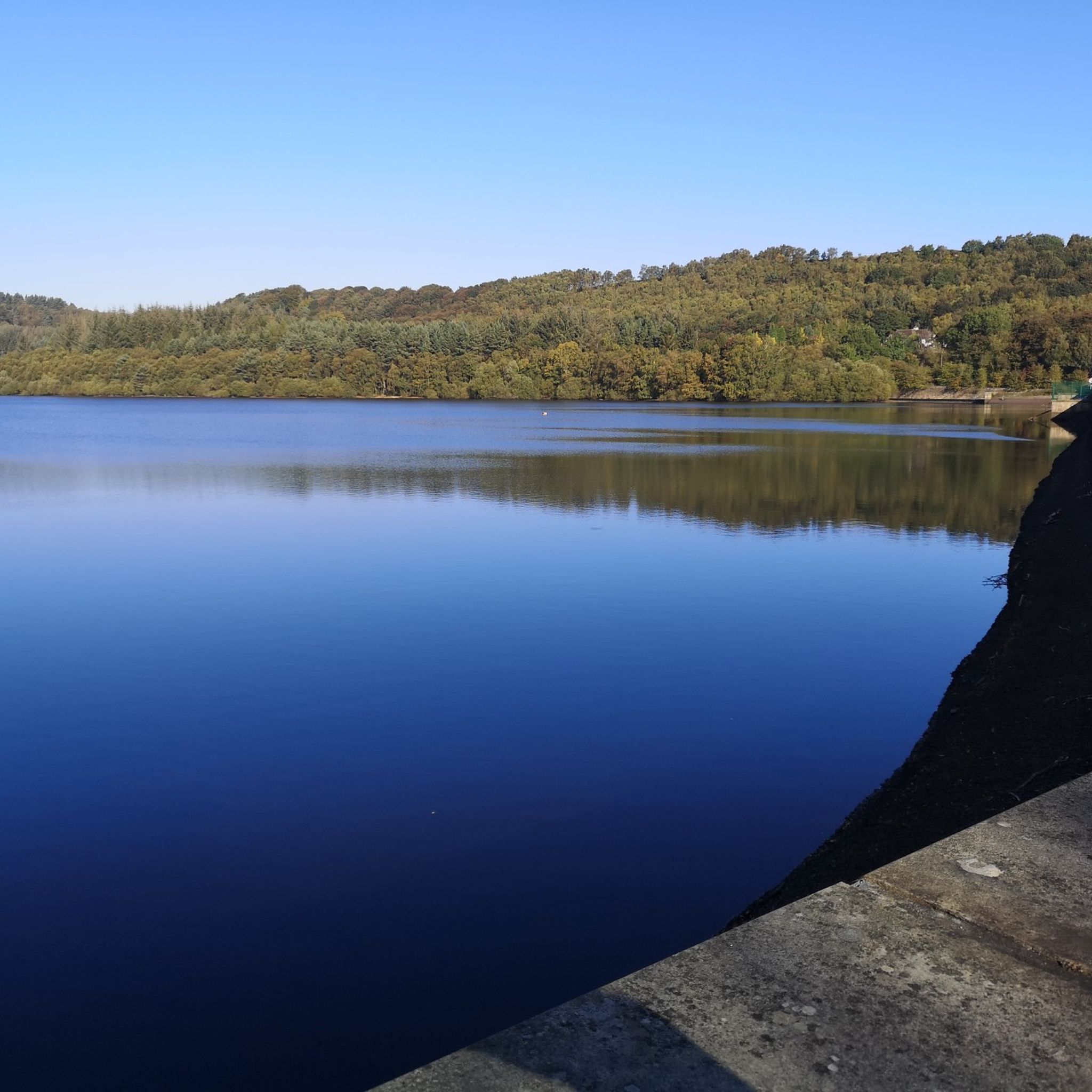
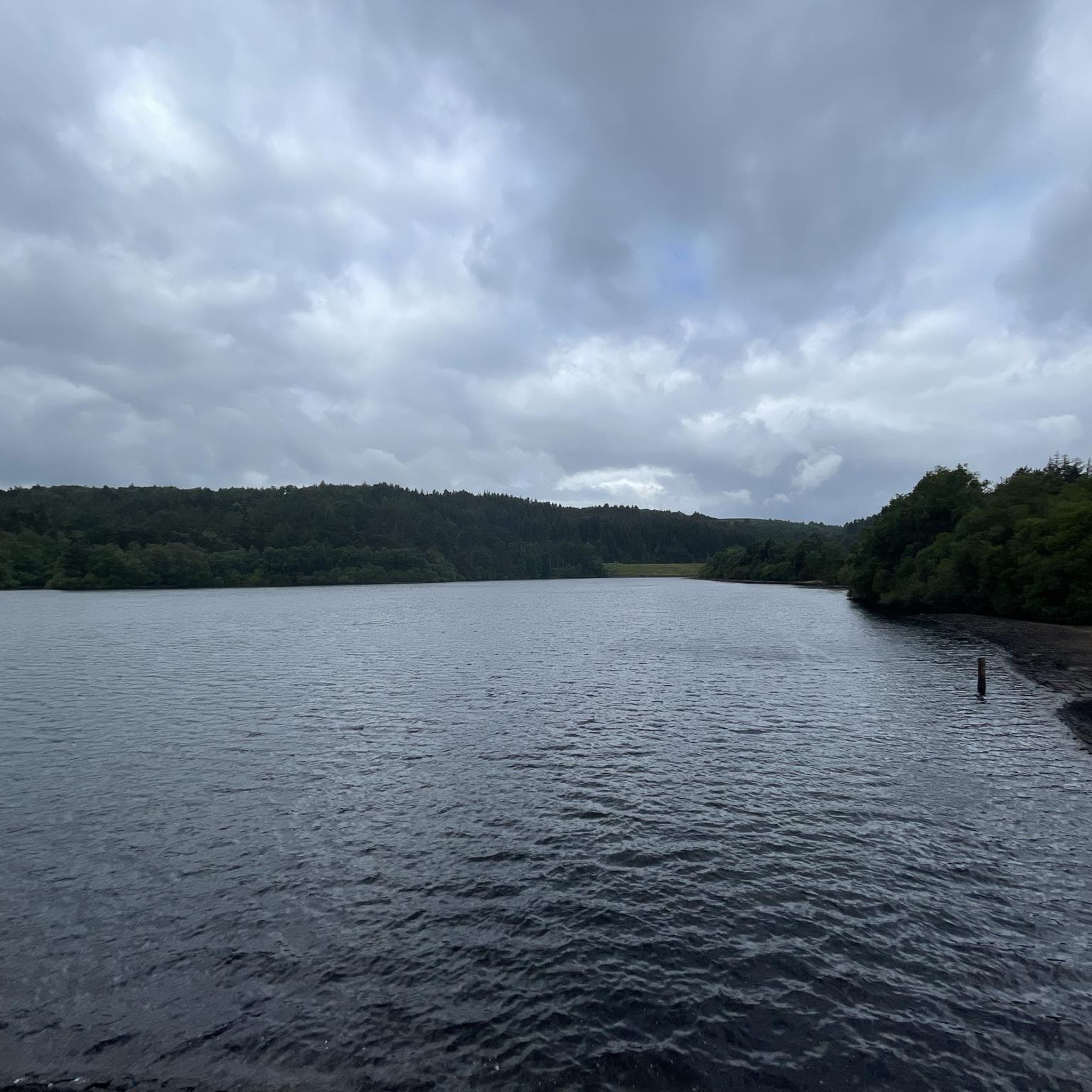
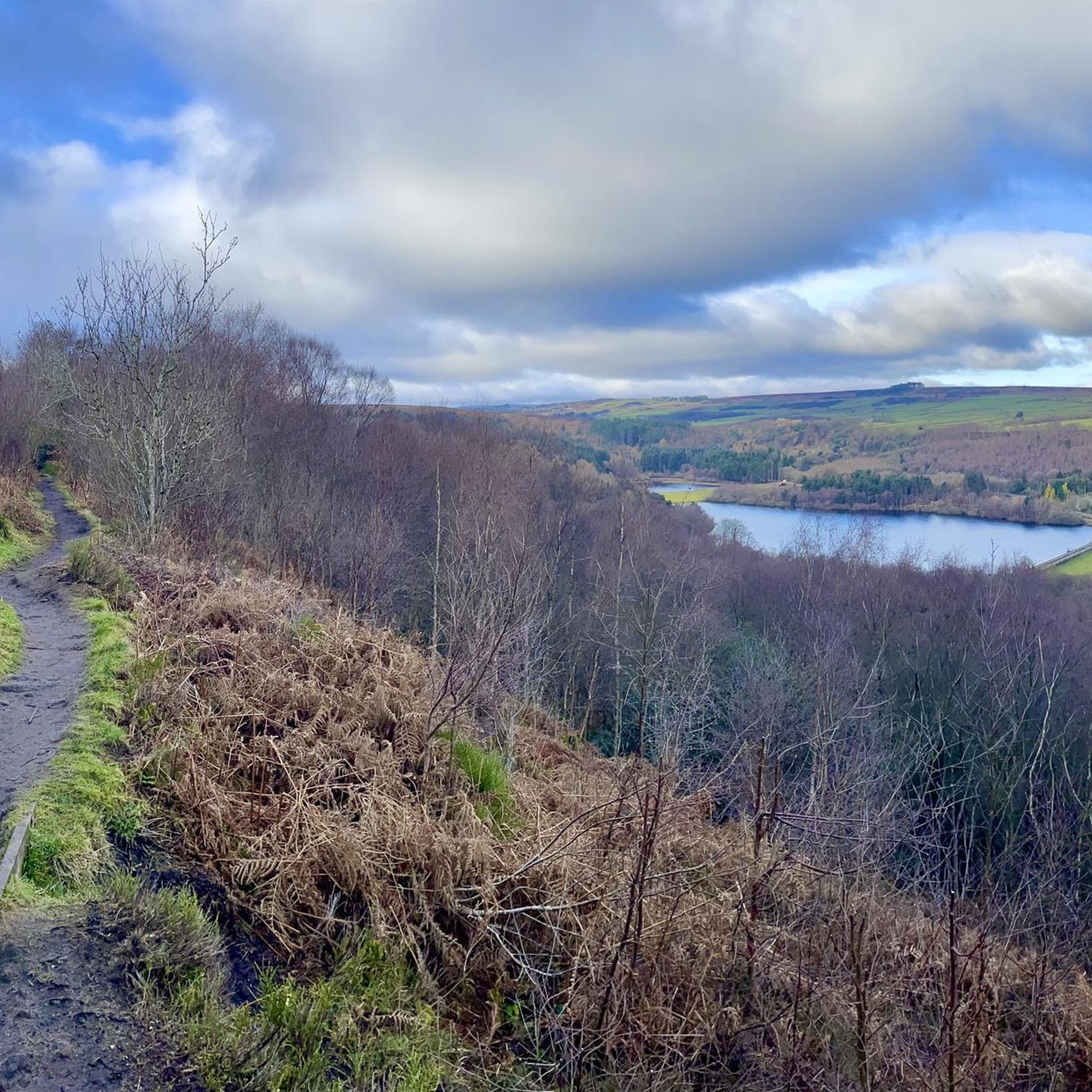
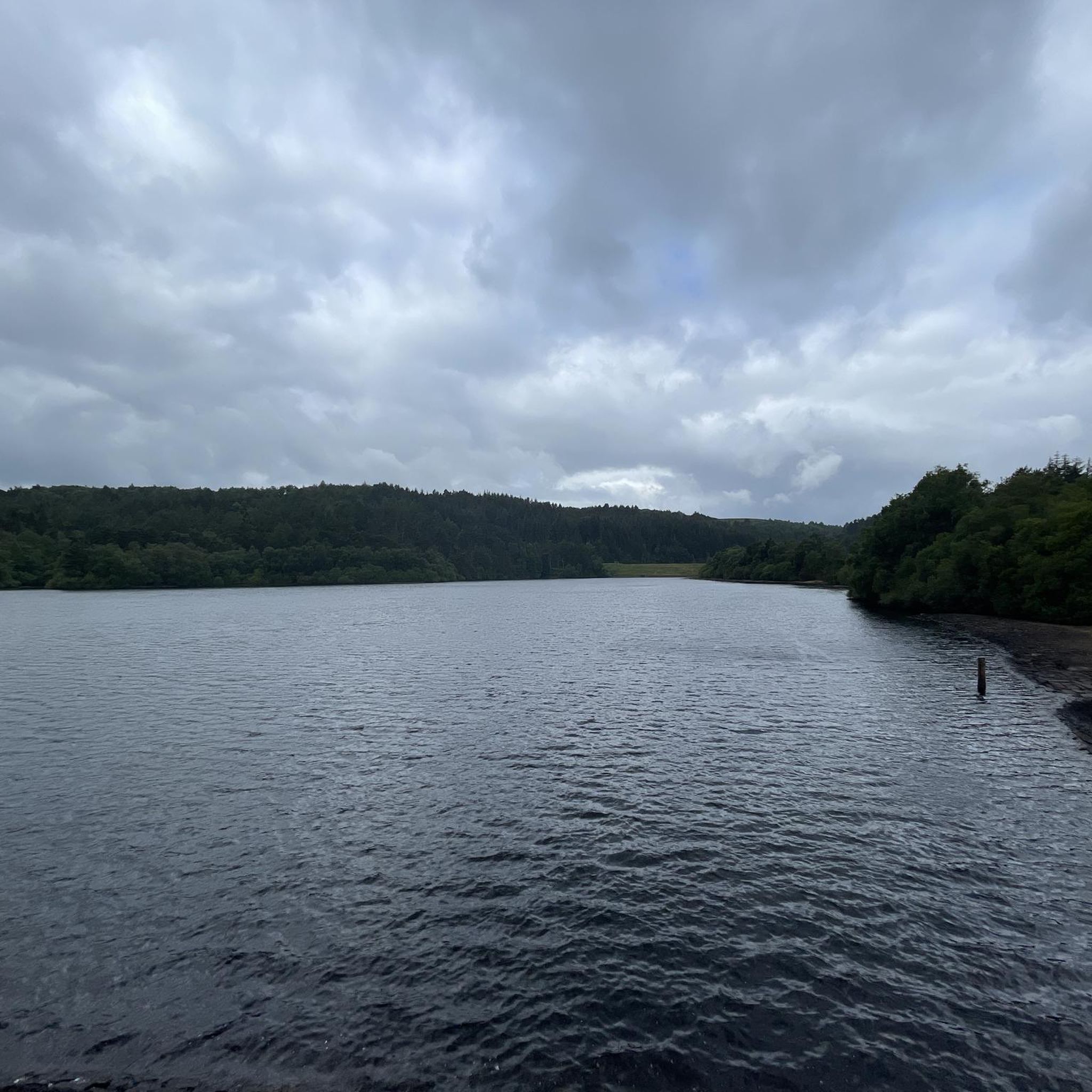
Road cycling routes around Rivelin Lower Reservoir traverse a landscape characterized by the Rivelin Valley's woodlands, plantations, and open moorland. The area sits on the eastern edge of the Peak District National Park, offering views of gritstone escarpments like Stanage Edge. The terrain includes varied elevations, with some routes featuring significant climbs and descents. Historical remnants of watermills and mill dams are present throughout the valley, adding a cultural dimension to the natural scenery.
Best road cycling routes around Rivelin…
Last updated: July 10, 2026
35
riders
18.5km
01:00
290m
290m
Moderate road ride. Great for any fitness level. Some segments of this route may be unpaved and difficult to ride.
3.0
(2)
82
riders
27.6km
01:26
410m
410m
Moderate road ride. Good fitness required. Mostly well-paved surfaces and easy to ride.

Sign up for free
5.0
(1)
72
riders
25.1km
01:26
520m
520m
Moderate road ride. Good fitness required. Some segments of this route may be unpaved and difficult to ride.
5.0
(1)
4
riders
21.4km
01:22
480m
480m
Moderate road ride. Good fitness required. Mostly well-paved surfaces and easy to ride.
4.8
(8)
440
riders
50.1km
02:33
740m
740m
Moderate road ride. Good fitness required. Mostly well-paved surfaces and easy to ride.
Get access to more routes and recommendations from other explorers.
Sign up for free
Already have an account?
Our route recommendations are based on thousands of hikes, rides, and runs completed by other people on komoot.
Start today with a free account
Your next adventure awaits.
Login or Signup

Tips from the Community

Cashless shop - 8am - 8pm Normal shop 11am - 5pm closed Monday, Tuesday and Thursday
0
0

Can be boggy during winter bit offered some good views for a sunset
0
0

Very testing climb out of Castleton or coming from Hope. It goes up Steeply very quickly towards the cement works before easing off a little for the rest of the climb towards Bradwell moor. The corner overlooking the cement works is an ideal spot to stop for a photo and admire the view( catch your breath before ploughing on)
0
0

Good spot. Only flatish bit of rode for a long time
0
0
All good vibes but the hill from low bradfiel to high bradfield is brutal. Defo a project
0
0

Climb this from Hathersage booths to get away from the main drag into Hathersage & you can keep going up & over to Ringinglow or turn left at the summit then right at the junction & head on a beautiful route following Stanage Edge, eventually dropping you out on Yorkshire Bridge. It’s a beaut!
1
0

Nice quiet place to escape the noise
0
0

Not particularly long, nor super steep, but still a lung burner if you give it beans.
0
0
Frequently Asked Questions
How many road cycling routes are available around Rivelin Lower Reservoir?
There are over 200 road cycling routes available around Rivelin Lower Reservoir. These routes cater to various skill levels, with 38 easy, 118 moderate, and 59 difficult options to explore.
Are there road cycling routes suitable for beginners or families?
Yes, the Rivelin Lower Reservoir area offers 38 easy road cycling routes that are suitable for beginners or families looking for a less strenuous ride. These routes typically feature mostly paved surfaces and lower elevation gains, providing a pleasant experience through the local countryside.
What kind of terrain can I expect on road cycling routes in the Rivelin Lower Reservoir area?
The terrain around Rivelin Lower Reservoir is varied, characterized by the Rivelin Valley's woodlands, plantations, and open moorland. You can expect a mix of elevations, from gentle inclines on easier routes to significant climbs and descents on more challenging ones. While most routes are paved, some may include unpaved segments.
Are there challenging road cycling routes for experienced cyclists?
Absolutely. For experienced cyclists seeking a challenge, there are 59 difficult routes available. These often feature notable climbs and descents, such as those found on the Burbage Moor Hill Climb – Fiddler's Elbow Climb loop from Fulwood, which covers 25 km with over 500 meters of elevation gain.
Can I find circular road cycling routes around Rivelin Lower Reservoir?
Yes, many of the road cycling routes in the area are circular, allowing you to start and finish at the same point. Examples include the popular Whitelow Lane – Roper Hill loop from Fullwood Hall, which offers a balanced ride through the local countryside.
Where can I find parking for road cycling near Rivelin Lower Reservoir?
While specific parking areas for cyclists are not explicitly detailed, many routes originate from areas like Fulwood or Storrs, which typically have local parking options. It's advisable to check specific starting points of your chosen route for the most convenient parking facilities.
What are some notable landmarks or natural features I might see while cycling?
The region offers a blend of natural beauty and historical interest. You'll cycle through the tranquil Rivelin Valley with its woodlands and open moorland. Routes often provide views of the Peak District National Park, including the iconic gritstone escarpment of Stanage Edge. You might also spot the remains of historic watermills and mill dams, which are remnants of the valley's industrial heritage.
Are there places to stop for refreshments along the routes?
Yes, the Rivelin Park Cafe is a convenient stop for refreshments in the area. Additionally, depending on your chosen route, you may find other cafes or pubs in nearby villages, especially when venturing towards the Peak District or other local communities.
What is the best time of year to go road cycling in this region?
The Rivelin Lower Reservoir area is enjoyable for road cycling throughout much of the year. Spring and summer offer pleasant weather and lush scenery. Autumn provides beautiful foliage, while winter cycling is possible, though conditions may require more caution due to potential ice or wet roads, especially on higher moorland sections.
What do other cyclists say about the road cycling experience here?
The road cycling experience around Rivelin Lower Reservoir is highly rated by the komoot community, with an average score of 4.5 stars from over 275 reviews. Cyclists often praise the varied terrain, the scenic views of the Rivelin Valley and Peak District, and the options available for different ability levels.
Are there any specific restrictions for cyclists in the Rivelin Valley?
While there are numerous road cycling routes, it's important to note that certain footpaths directly along the Rivelin Valley Nature Trail and immediately around the reservoir restrict bicycles. Always adhere to local signage and regulations to ensure a safe and enjoyable ride for everyone.
Can I combine road cycling with views of the Peak District?
Absolutely. Rivelin Lower Reservoir sits on the eastern edge of the Peak District National Park, meaning many road cycling routes offer breathtaking views and access to expansive moorland. Routes like the View from the Top of Moscar – Rod Side Road loop from Fulwood provide expansive vistas across the surrounding moorland and valleys, including sights of Stanage Edge.
Are there longer road cycling routes for endurance rides?
Yes, for those seeking longer endurance rides, routes like the Damflask Reservoir – Strines and Sugworth Road loop from Fulwood offer a substantial challenge. This route covers over 50 km with significant elevation gain, providing an extended exploration of the region's diverse landscapes.
Most popular routes around Rivelin Lower Reservoir

Get inspired with the komoot mobile app


Explore more
Browse the best Road cycling routes in other regions.
