The best walks and hikes around Aiea
4.4
(81)
964
hikers
23
hikes
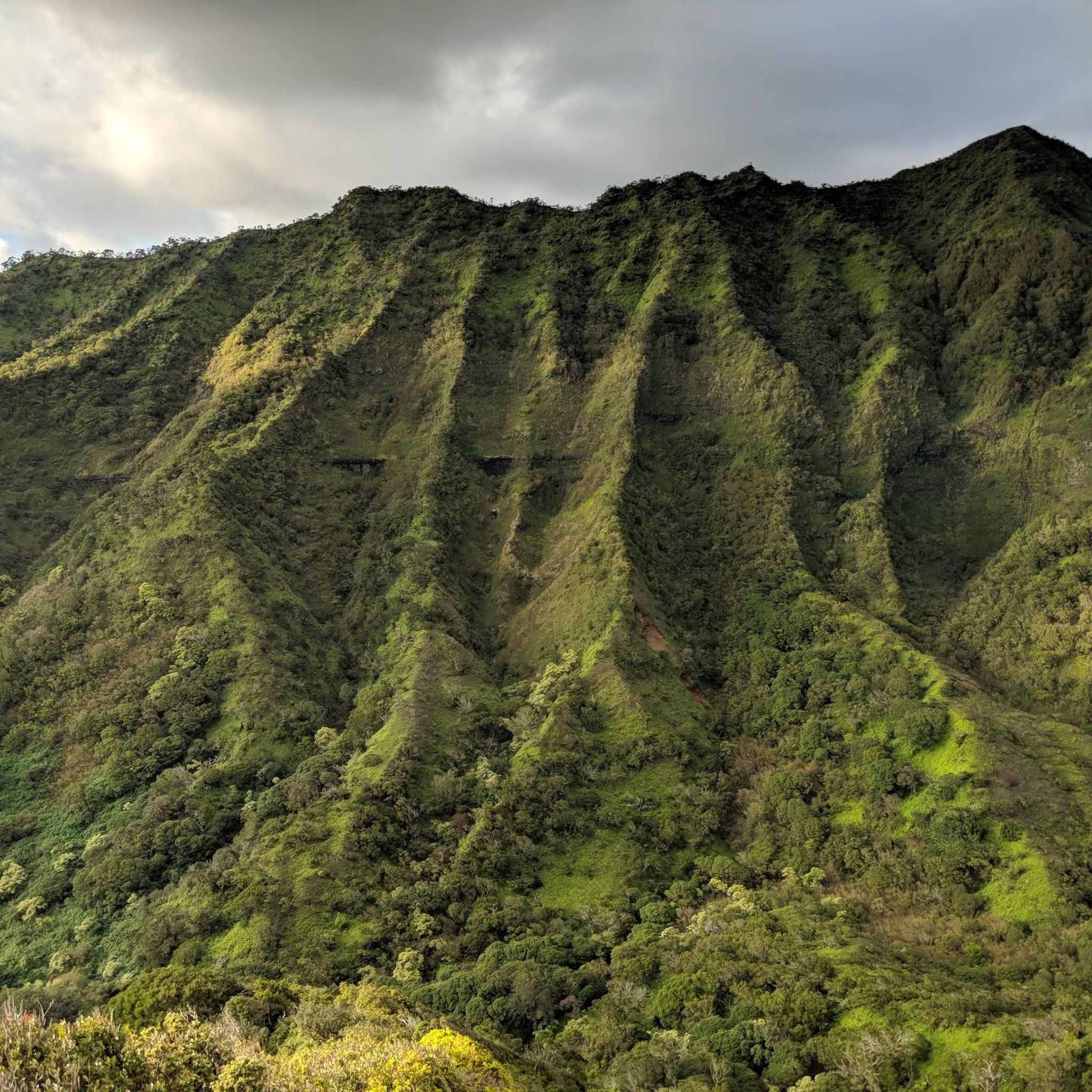
Hikes around Aiea are primarily located within the Keaīwa Heiau State Recreation Area, set in the hills above Pearl Harbor. The area is defined by lush, forested ridges and valleys, offering routes with gradual inclines and significant elevation gain. The trails wind through groves of lemon eucalyptus and Norfolk Island pine trees, providing shaded paths and views of Oʻahu's southern coastline.
Best hiking trails around Aiea
- The most popular hiking route is 'Aeia Loop Trail – Keaīwa Heiau State Recreation…
Last updated: August 31, 2026
4.7
(35)
371
hikers
7.31km
02:09
220m
220m
Moderate hike. Good fitness required. Easily-accessible paths. Suitable for all skill levels.
5.73km
01:27
10m
20m
The Nimitz Bike Path offers a unique urban hiking experience in Honolulu, blending historical views with surprising pockets of greenery. As you walk this easy 3.6-mile (5.7 km) multi-use path,…

Sign up for free
5.0
(1)
8
hikers
7.83km
02:34
350m
350m
The Kalauao Falls Loop Trail offers a deep immersion into Oʻahu's dense, untamed jungle, a world away from the island's more manicured paths. This moderate 4.9-mile (7.8 km) hiking route,…
3
hikers
13.8km
04:50
720m
720m
Hike the moderate 8.6-mile Tripler Ridge Trail in Honolulu, gaining 2360 feet with panoramic views from the summit.
4.9
(25)
202
hikers
Hard hike. Very good fitness required. Easily-accessible paths. Suitable for all skill levels.
Get access to more routes and recommendations from other explorers.
Sign up for free
Already have an account?
Our route recommendations are based on thousands of hikes, rides, and runs completed by other people on komoot.
Start today with a free account
Your next adventure awaits.
Login or Signup

Other adventures around Aiea

Tips from the Community

This unpaved "road" — really, just a nice walking trail — used to be an access point for the Moanalua Ridge Trail, a route up to the "backside" of the Haiku Stairs. That route is now closed and people who've tried to sneak through have gotten tickets, so it's better not to risk it. The early part of the road is interesting in and of itself, though, thanks to interpretive signs that point out natural history and relics.
0
0
Right about here you'll see a side trail on your left. This is the access route for Kalauao Falls, but be warned that the 'Aeia Ridge and Loop trails generally make a much nicer — and less muddy — adventure.
1
0
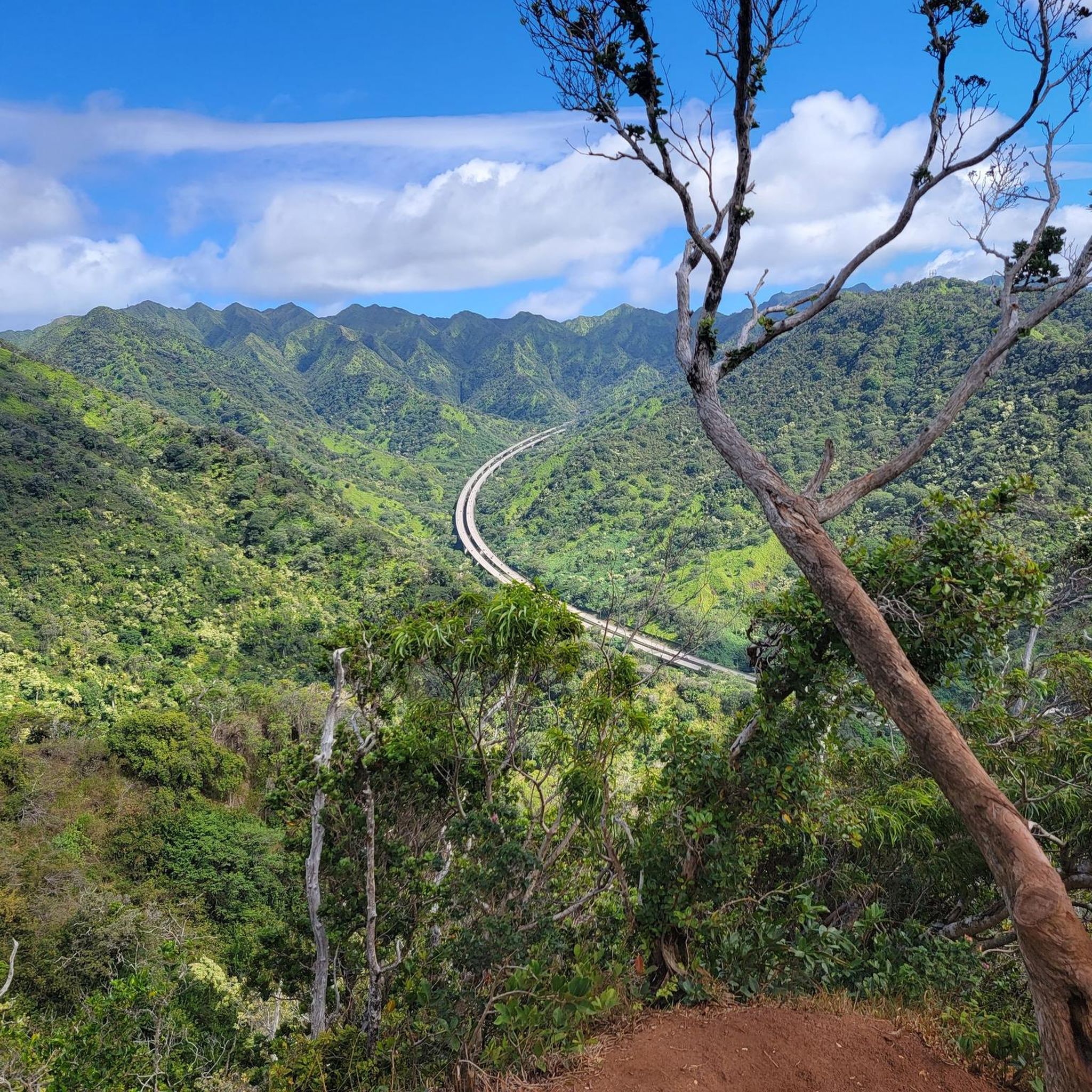
This viewpoint gives you great views of the ruggedly beautiful Halawa Valley to your south. The road running through it is Hawaii's H3 interstate highway. Yes, you read that correctly—it's technically considered an interstate, even though it only traverses the one island. If conditions allow you can even see all the way to the city of Honolulu, also to your south.
1
1
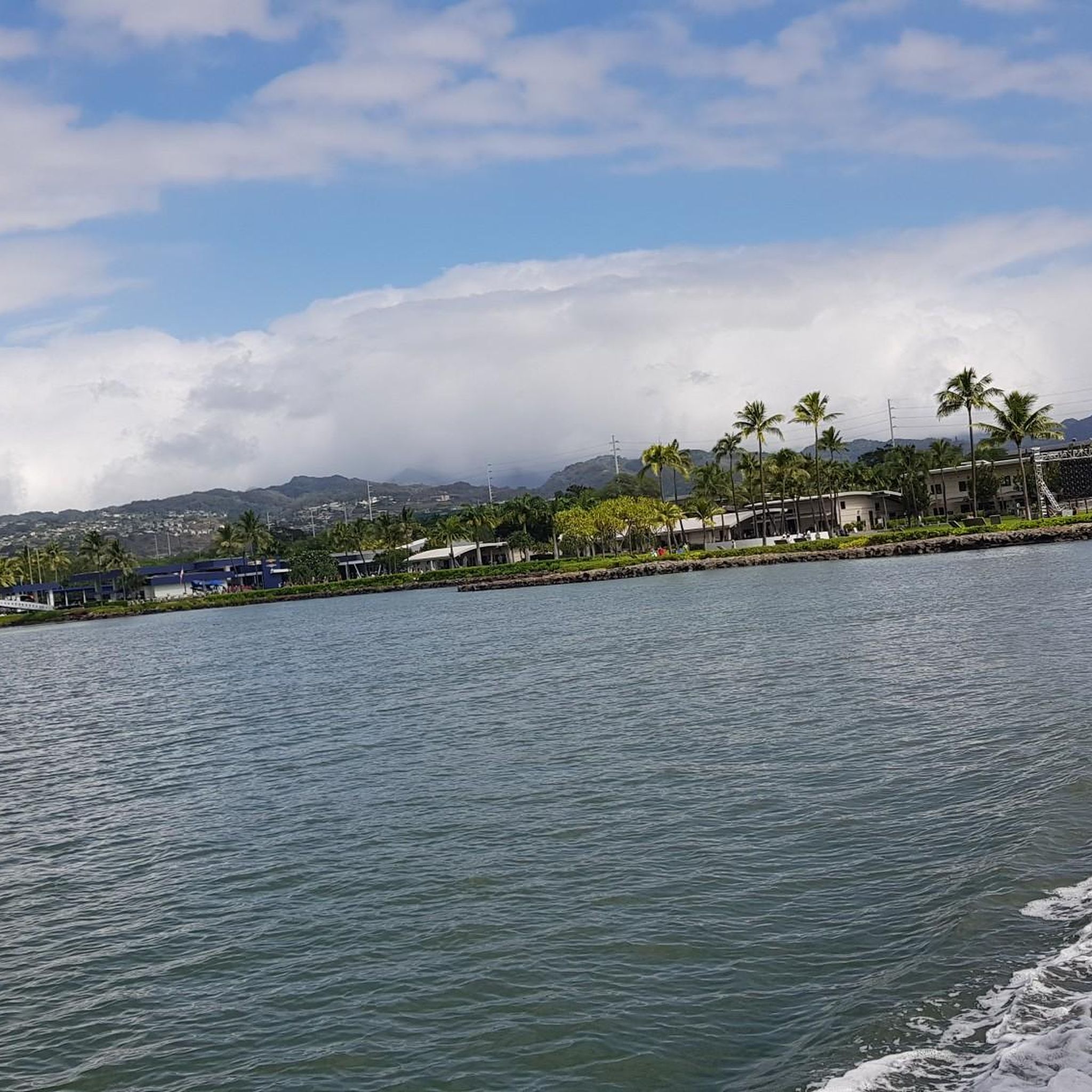
This is one of many points along the 'Aiea Ridge Trail (which transects the 'Aiea Loop) that give a great viewpoint over Pearl Harbor. It's an evocative place, where you can easily imagine what it might have been like to witness the Japanese attack on the harbor that triggered the United States' entrance into World War II.
1
0

On this point of the trail you are on the top of a cliff with the Halawa Valley and the highway below. The highway adds a certain element to the view by providing a reference point to show just how big the valley actually is.
0
0

Once you reach the peak of Kahoʻomoeʻihikapulani at almost 2,700 feet, you will forget about the struggles along the hike. Enjoy the views to both sides of the island and give yourself a long break before you hike back. You deserve it!
0
0
Please be aware, that the hike along Tripler Ridge Trail is very challenging, partly overgrown and includes many exposed sections. But if you're in good shape and up for an adventure, this is the perfect hike for you, and you will certainly be rewarded!
0
0
Widely known for the infamous attack on Pearl Harbor, you get a nice view of exactly that location from this spot along ʻAiea Loop Trail.
1
0
Frequently Asked Questions
Is there parking available for the trails in Aiea?
Yes, there is free parking at the Keaīwa Heiau State Recreation Area, which serves as the main access point for trails like the ʻAiea Loop. The park gates open at 7:00 a.m. and there are several parking lots available, though they can fill up on weekends.
What are the typical trail conditions like?
Most trails in Aiea are well-maintained and shaded by lemon eucalyptus and Norfolk pine trees. However, the paths can become muddy and slippery after rain, with exposed tree roots in some sections. It's always a good idea to wear sturdy hiking shoes with good grip.
Are dogs allowed on the hiking trails?
No, pets are not permitted in the Keaīwa Heiau State Recreation Area, which includes the popular ʻAiea Loop Trail and its connecting routes. It's best to leave your dog at home when planning a hike here.
Which trails in Aiea feature a waterfall?
For a hike that includes a waterfall, consider the Kalauao Falls Trail & ʻAiea Loop Trail — Oʻahu. This route combines a portion of the main loop with a descent to the scenic Kalauao Falls.
What's a good trail for a beginner or a family with kids?
The Hickam Waterfront to Missing Man Memorial — Oʻahu is an easy, relatively flat walk suitable for all skill levels. It offers a different perspective of the area away from the main ridge trails.
Are there any challenging hikes for experienced hikers?
Yes, experienced hikers looking for a challenge can take on the Tripler Ridge Trail to Kahoʻomoeʻihikapulani — Oʻahu. This is a longer and more strenuous route with significant elevation gain, rewarding hikers with expansive views.
What kind of views can I expect on the trails?
The ridge trails around Aiea offer stunning panoramic views of Oʻahu's southern coastline. You can see landmarks such as Pearl Harbor, Diamond Head, and the Wai'anae Range. A unique viewpoint along the ʻAiea Loop Trail also provides a dramatic look at the H-3 Freeway cutting through Halawa Valley.
Are there any historical sites along the trails?
Yes. The Keaīwa Heiau State Recreation Area is home to the Keaiwa Heiau, the ruins of an ancient Hawaiian healing temple located near the park entrance. Additionally, along the ʻAiea Loop Trail, you can find the wreckage of a B-24 bomber that crashed in 1944.
How do I get to the trailheads using public transport?
Getting to the trailheads in Keaīwa Heiau State Recreation Area via public transport can be challenging as the bus stops are located at the bottom of ʻAiea Heights Drive, requiring a long uphill walk to the park entrance. Driving or using a ride-sharing service is the most direct way to access the trails.
Are there any fees or permits required for hiking in Aiea?
There are no entrance fees for hiking at Keaīwa Heiau State Recreation Area, and parking is also free. Permits are generally not required for day hiking. However, if you plan to camp, you must obtain a permit in advance via the state's official camping reservation website.
What do other hikers enjoy most about the trails in Aiea?
The area is highly regarded by the komoot community, with an average rating of 4.5 stars. Hikers often praise the lush, fragrant forests, the well-maintained paths, and the rewarding views of the coastline and valleys that are accessible without an overly strenuous climb.
How many hiking trails are there around Aiea?
There are over 15 designated hiking routes around Aiea. These range from easy walks to difficult ridge hikes, offering a variety of options for different fitness and experience levels, primarily centered within the Keaīwa Heiau State Recreation Area.
Most popular routes around Aiea
Most popular attractions around Aiea

Get inspired with the komoot mobile app


Explore more
Browse the best Hikes in other regions.
