The best running trails around Hurworth Burn Reservoir
4.7
(18)
2,683
runners
156
runs
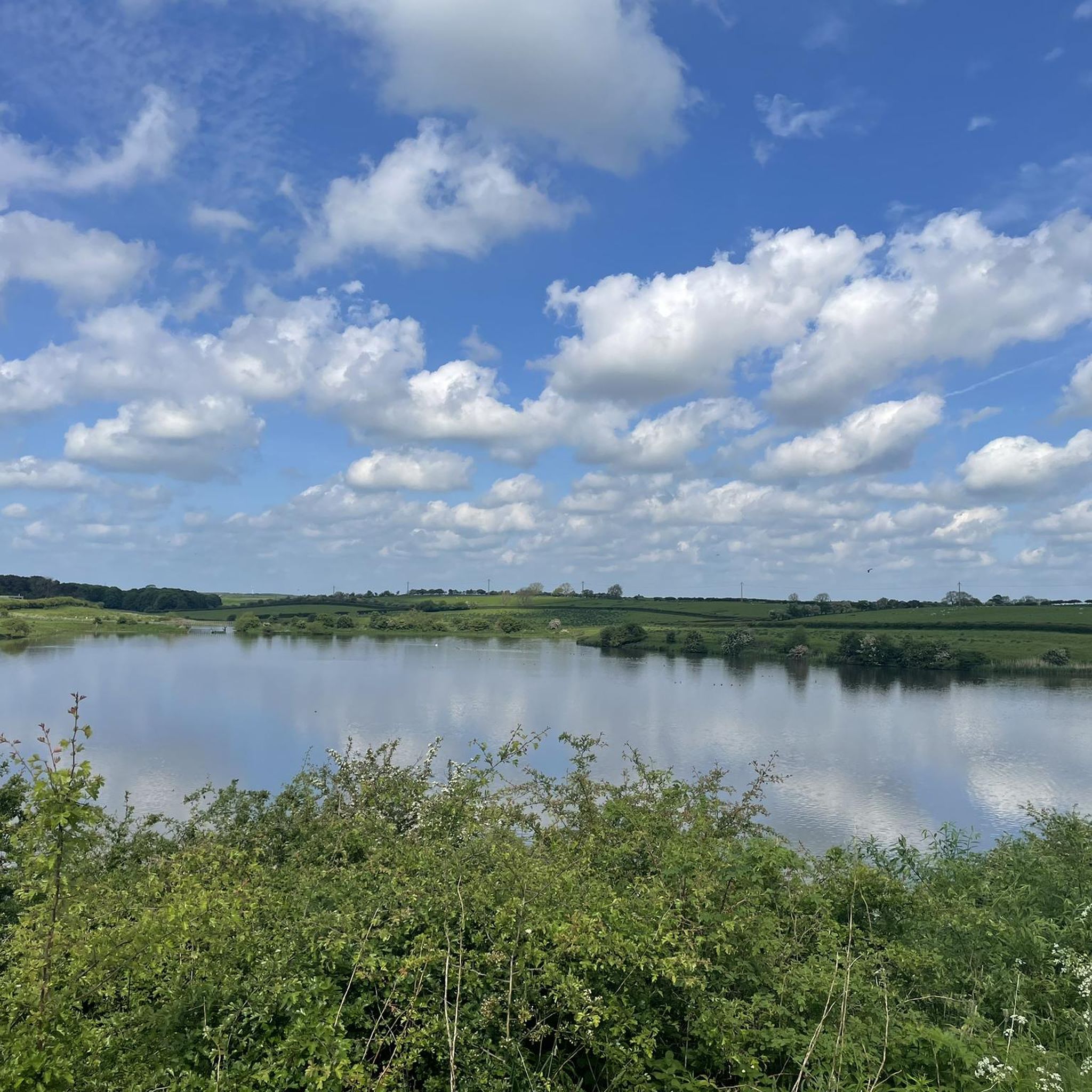
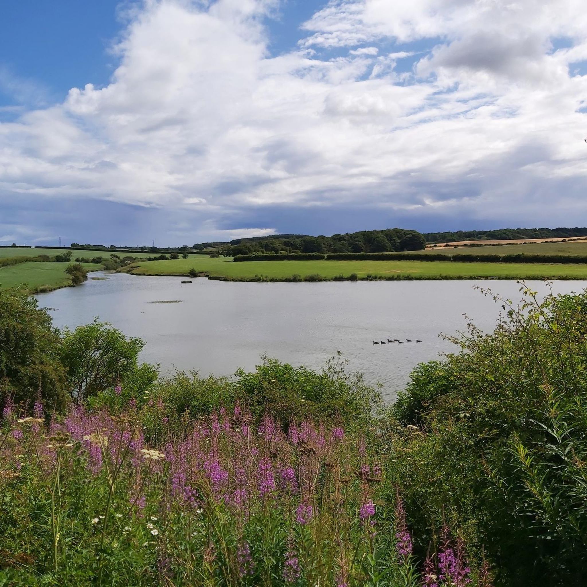
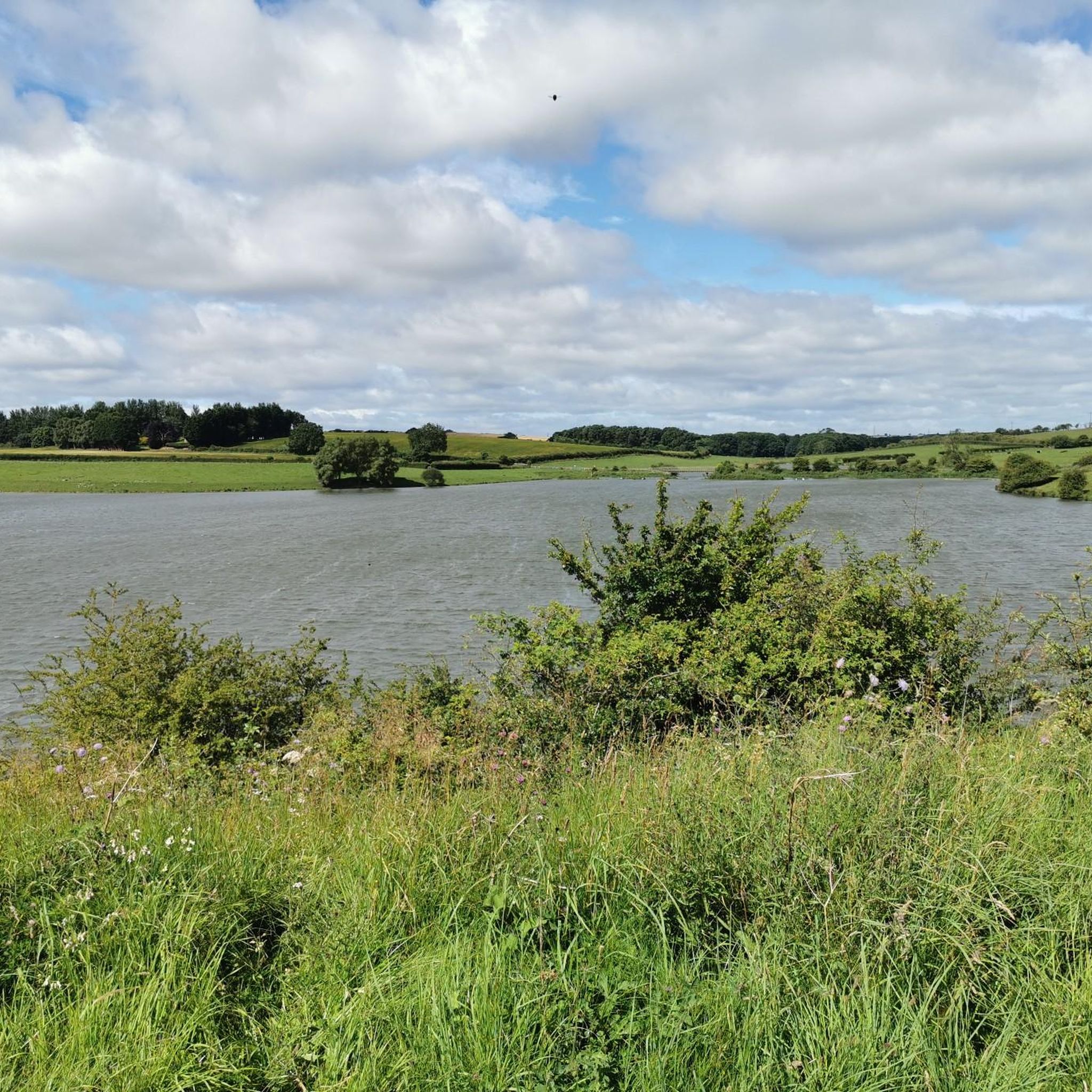
Jogging around Hurworth Burn Reservoir offers varied terrain within a rural landscape in County Durham. The area features accessible paths, including a central 21-acre man-made reservoir with scenic waterside paths. Disused railway lines, such as sections of the Castle Eden Walkway and Hart to Haswell Walkway, provide level and well-surfaced running paths. The region is characterized by a blend of farmland, pasture, and woodlands, offering diverse backdrops for running.
Best jogging routes around Hurworth Burn Reservoir
- The most popular jogging…
Last updated: July 10, 2026
11
runners
Moderate run. Good fitness required. Mostly paved surfaces. Suitable for all skill levels.
12
runners
7.19km
00:47
50m
50m
Moderate run. Good fitness required. Mostly paved surfaces. Suitable for all skill levels.

Sign up for free
10
runners
Moderate run. Good fitness required. Mostly paved surfaces. Suitable for all skill levels.
7
runners
Moderate run. Good fitness required. Mostly paved surfaces. Suitable for all skill levels.
6
runners
10.9km
01:08
110m
110m
Moderate run. Good fitness required. Mostly paved surfaces. Suitable for all skill levels.
Get access to more routes and recommendations from other explorers.
Sign up for free
Already have an account?
Our route recommendations are based on thousands of hikes, rides, and runs completed by other people on komoot.
Start today with a free account
Your next adventure awaits.
Login or Signup
Tips from the Community

Love this route from Stockton right up the castle Eden walkway to Wingate return. Reasonably flat...have to be mindful of dog walkers .
0
0

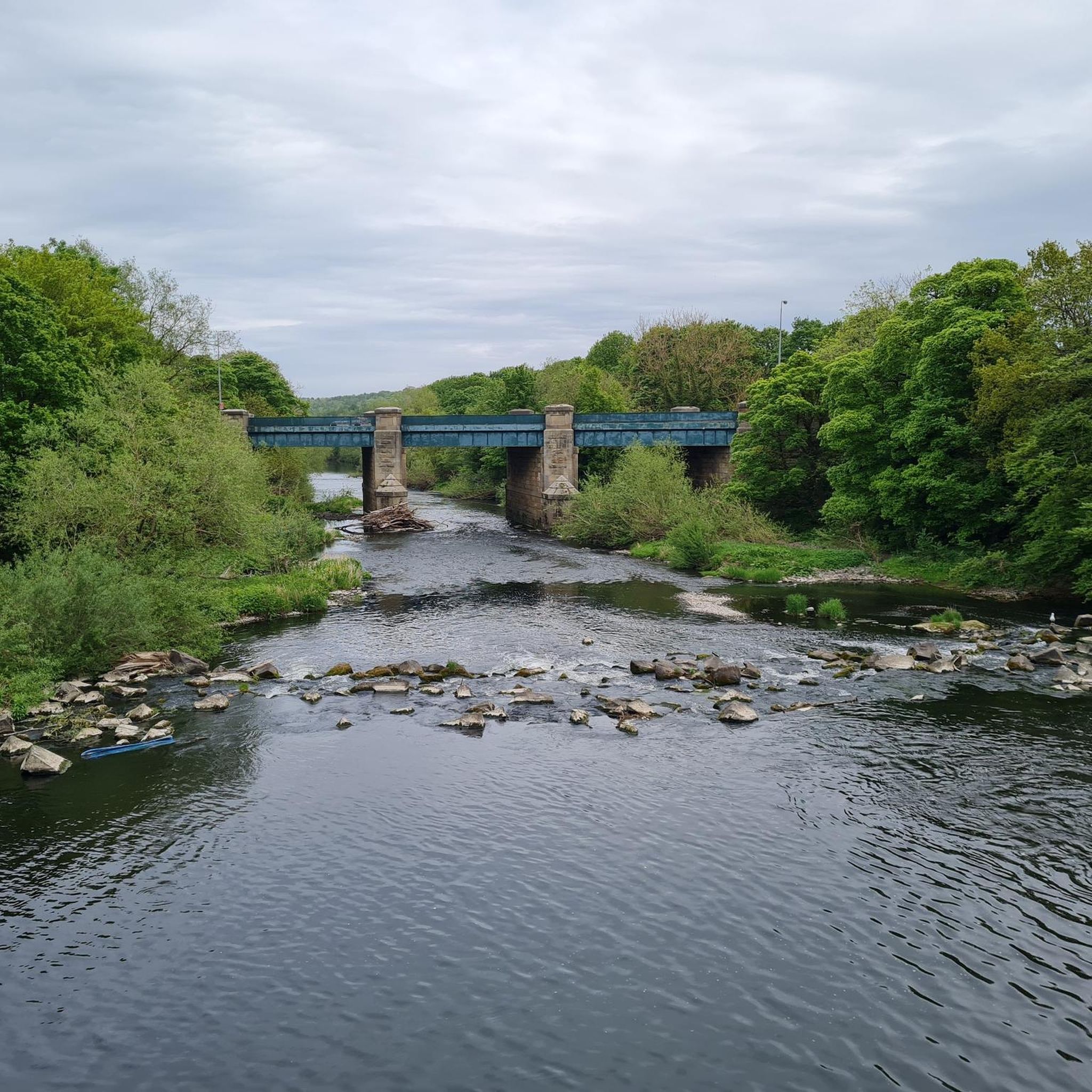
Bridge that takes you over the A689 which is found on the castle Eden cycle track
2
0
Wynyard Woodland Park - Black Squares
0
0
Point where National cycle route 1 and 14 split off easy to get lost here
4
0
Frequently Asked Questions
How many running routes are available around Hurworth Burn Reservoir?
There are over 160 running routes available around Hurworth Burn Reservoir, offering a wide variety of options for different skill levels and preferences. You'll find everything from easy loops to more challenging, longer runs.
What kind of terrain can I expect when running near Hurworth Burn Reservoir?
The terrain around Hurworth Burn Reservoir is quite varied. You'll find relatively flat and easy circular trails directly around the water's edge, as well as sections of disused railway lines like the Castle Eden Walkway and the Hart to Haswell Walkway, which offer level and well-surfaced paths. Some paths around the reservoir can be grassy and occasionally muddy, but many routes are generally well-maintained and runnable, passing through farmland, pasture, and woodlands.
Are there options for beginners or those looking for an easy run?
Yes, Hurworth Burn Reservoir offers excellent conditions for runners of all levels, including beginners. There are 24 easy routes available. For example, the Running loop from Wingate is an easy 3.1 miles (5.0 km) path that provides a refreshing run through the local countryside.
What makes the running routes around Hurworth Burn Reservoir unique?
The routes are unique due to their blend of scenic waterside paths around the 21-acre reservoir, historical disused railway lines, and diverse woodlands. The area is also a haven for wildlife, particularly birds, offering a tranquil rural setting away from the hustle and bustle.
What do other runners say about the routes here?
The running routes in Hurworth Burn Reservoir are highly rated by the komoot community, with an average score of 4.8 stars from more than 15 reviews. Runners often praise the varied terrain, the peaceful atmosphere, and the well-maintained paths that make for an enjoyable experience.
Are there any historical points of interest along the running trails?
Yes, the area features a network of former railway lines, now repurposed as multi-user trails. These include sections of the Castle Eden Walkway and the Hart to Haswell Walkway. You can also find remnants like the old Hurworth Burn Station platform, which adds a unique historical dimension to your run.
Can I expect to see wildlife while jogging around the reservoir?
Absolutely. Hurworth Burn Reservoir is known for its rich wildlife, especially birds. The reed beds, particularly on the northern shore, attract a variety of species including wildfowl, waders, and birds of prey. You might spot kestrels, geese, ducks, and various passerines, adding an extra layer of enjoyment to your run.
Are the running paths suitable for families or those with prams?
Many of the routes around Hurworth Burn Reservoir are accessible and generally well-maintained, making them suitable for families. Some paths, particularly sections of the disused railway lines, are even accessible for prams and wheelchairs, offering a smooth surface for a family-friendly outing.
Are there any circular running routes available?
Yes, circular routes are a popular feature here. A highlight for joggers is the relatively flat and easy circular trail that spans approximately 1.5 to 1.6 miles (2.3 to 2.8 km) directly around the water's edge. For a longer workout, routes like the Hurworth Burn Reservoir – Old Railway Path Walk loop cover about 5.1 miles (8.2 km) by combining the reservoir loop with sections of disused railway lines.
Is there parking available for accessing the running trails?
While specific parking details for every route vary, the popularity of Hurworth Burn Reservoir for outdoor activities suggests accessible parking options are generally available near key trailheads. It's advisable to check specific route details on komoot for the most convenient parking locations.
Can I bring my dog on the running routes?
Many outdoor areas in the UK, including those around Hurworth Burn Reservoir, are generally dog-friendly. However, it's always recommended to keep dogs on a lead, especially near wildlife, livestock, or other visitors, and to follow the Countryside Code. Check individual route descriptions for any specific restrictions.
What is a good longer running route in the area?
For a longer run, consider the Pine Forest loop from Pike Whin Bog SSSI. This moderate 9.0 miles (14.6 km) trail takes about 1 hour 30 minutes to complete and leads through a scenic pine forest in a rural setting.
Most popular routes around Hurworth Burn Reservoir

Get inspired with the komoot mobile app


Explore more
Browse the best Running Trails & Routes in other regions.
