The best walks and hikes around Hurworth Burn Reservoir
4.5
(284)
2,000
hikers
134
hikes
Hikes around Hurworth Burn Reservoir explore the landscape surrounding a man-made lake in County Durham. The area is characterized by a mix of farmland, pasture, and woodland, with generally flat terrain. Many routes follow the paths of former railway lines, such as the Castle Eden Walkway and the Hart to Haswell Walkway, which provide level and accessible trails through the countryside.
Best hiking trails around Hurworth Burn Reservoir
- The most popular hiking route is Hurworth Burn Reservoir loop from Trimdon Village, a 1.8 mile (2.8 km) trail that takes about 45 minutes to complete. This is a short circular walk that follows the path around the water's edge.
- Another top favourite among local hiking enthusiasts is Hurworth Burn Reservoir – Old Railway Path Walk loop from Trimdon Village, a moderate 5.1 mile (8.2 km) path. This route combines the reservoir loop with a section along a disused railway line.
- Local hiking enthusiasts also love the Crimdon House Bridge – Hart to Haswell Walkway loop from Castle Eden, a 9.0 mile (14.4 km) trail leading through the Hart to Haswell Walkway, often completed in about 3 hours 50 minutes.
- Hiking around Hurworth Burn Reservoir is defined by waterside paths, sections of woodland, and trails along former railway lines. The network of routes provides options for different ability levels, from short, easy loops to longer, more moderate hikes.
- The routes in Hurworth Burn Reservoir are highly rated by the komoot community with an average score of 4.4 stars from over 200 reviews. More than 1,800 hikers have used komoot to explore Hurworth Burn Reservoir's varied terrain.
Last updated: July 9, 2026
4.2
(5)
20
hikers
Easy hike. Great for any fitness level. Easily-accessible paths. Suitable for all skill levels.
4.4
(5)
7
hikers
Moderate hike. Good fitness required. Easily-accessible paths. Suitable for all skill levels.

Sign up for free
3.0
(1)
13
hikers
24.3km
06:16
130m
130m
Hard hike. Very good fitness required. Easily-accessible paths. Suitable for all skill levels.
5.0
(1)
7
hikers
6.81km
01:46
40m
40m
Easy hike. Great for any fitness level. Easily-accessible paths. Suitable for all skill levels.
5.0
(1)
14
hikers
Moderate hike. Good fitness required. Easily-accessible paths. Suitable for all skill levels.
Get access to more routes and recommendations from other explorers.
Sign up for free
Already have an account?
Our route recommendations are based on thousands of hikes, rides, and runs completed by other people on komoot.
Start today with a free account
Your next adventure awaits.
Login or Signup

Tips from the Community

Do not do the bit through Shotton colliery last time I did this the route there was being used as a rubbish tip for most of the way through the village
0
0

A nice gentle route but be wary of walkers with dogs.
0
0

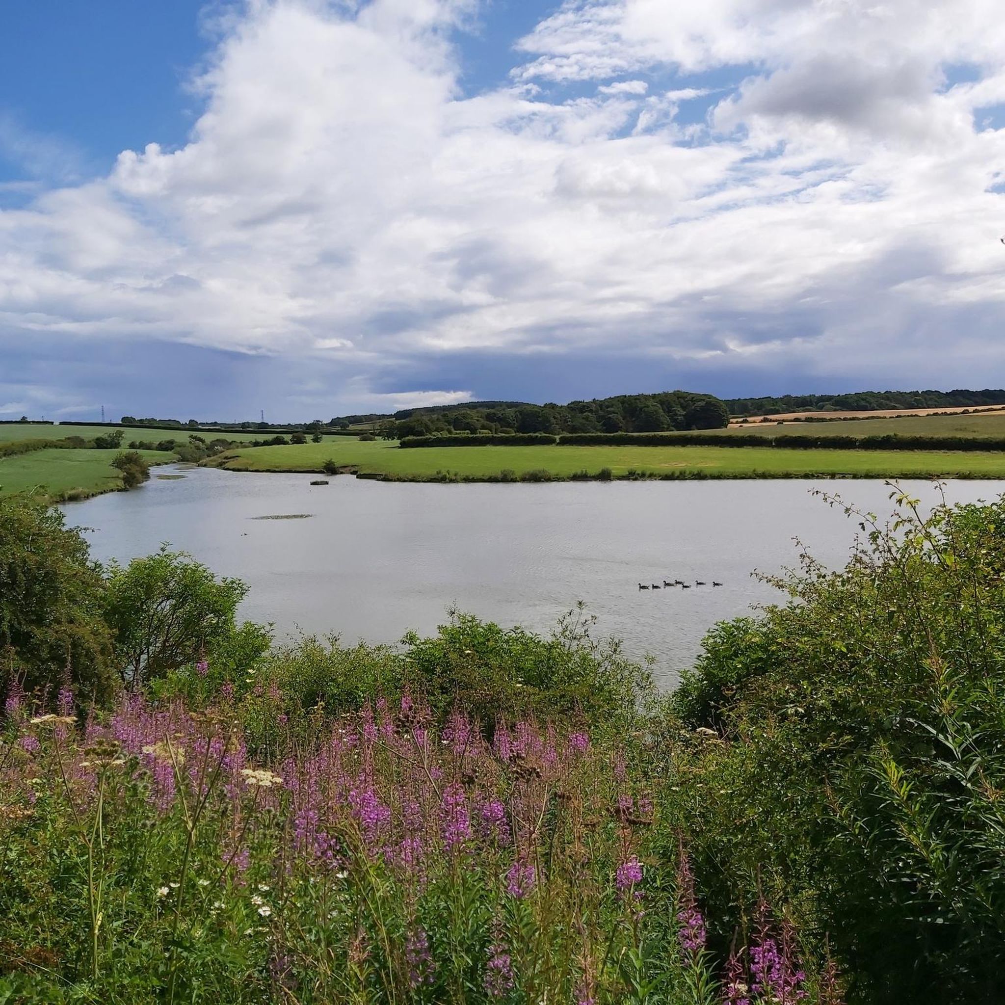
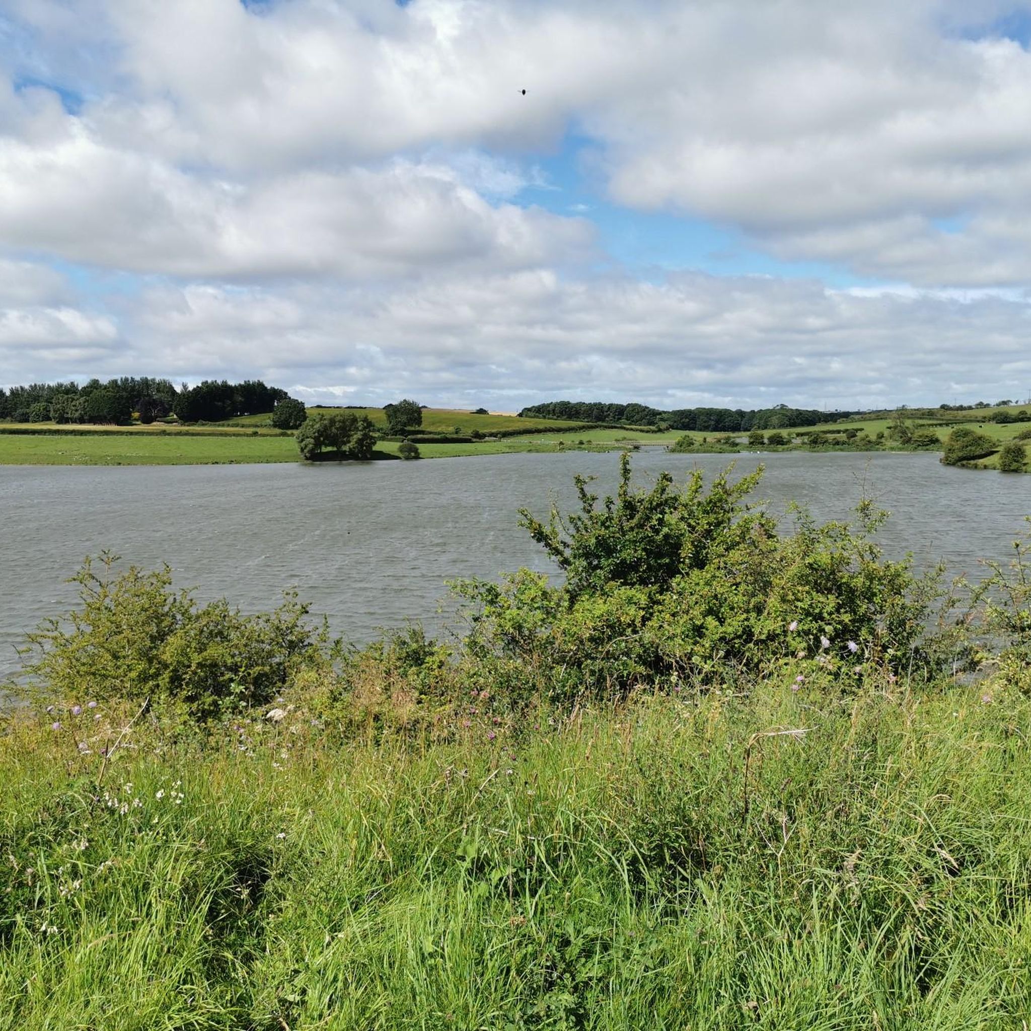
Hurworth Burn Reservoir is a 21 acre lake built in 1867. It's surrounded by woodland and attracts a rich variety of wildlife.
1
0

The Hart to Haswell walkway is a multi-user trail that follows a disused railway line. It's flat and well surfaced so suitable for most users.
0
0

Don't listen to the navigation as it needs updating it is forever telling you to turn round or make a u turn or turn left or right of which you can't as its an old railway track/cutting just follow the the track and enjoy 😉
0
0

Love this route from Stockton right up the castle Eden walkway to Wingate return. Reasonably flat...have to be mindful of dog walkers .
0
0

Nice little cafe within a, no longer used, railway station.
0
0

Frequently Asked Questions
Are the walks around Hurworth Burn Reservoir dog-friendly?
Yes, the area around Hurworth Burn Reservoir is generally considered dog-friendly. The open paths and walkways are great for walking with dogs. However, you may encounter farmland with livestock, so it's important to keep your dog on a lead in these areas. Also, be mindful of wildlife, especially around the reservoir's reed beds.
What are the parking options at Hurworth Burn Reservoir?
There is a free car park available at the southern end of the reservoir, which is the starting point for many of the walks. As one local visitor noted, the free parking is a significant plus. However, spaces can be limited, especially on weekends, so arriving earlier in the day is a good idea.
Are there any easy, family-friendly walks available?
Absolutely. The area is well-suited for families. For a very manageable and scenic option, consider the Hurworth Burn Reservoir loop from Trimdon Village. It's a short, mostly flat circular walk of about 1.8 miles (2.8 km) right by the water, perfect for little legs.
How long does it take to walk around the reservoir?
The main circular path directly around the reservoir is approximately 1.5 miles long and is generally considered an easy walk. Most people complete this loop in under an hour at a relaxed pace, making it a great option for a quick and refreshing outing.
What kind of wildlife can I expect to see?
The reservoir and its surroundings are a haven for wildlife, particularly birds. You can spot winter wildfowl, waders in the autumn, and species like the Great Crested Grebe and Common Tern. The connecting Hart to Haswell Walkway is known for its species-rich meadows that attract butterflies like the Common Blue and Dingy Skipper.
Are the trails suitable for prams or wheelchairs?
The paths around the reservoir are a mix of surfaced and grassy sections. While some parts are flat, others can be muddy, especially after rain, and may include stiles or kissing gates which make them challenging for prams and wheelchairs. The former railway lines, like the Castle Eden Walkway, tend to be flatter and more accessible.
Can I find a longer, more challenging hike in the area?
Yes, if you're looking for a longer trek, the Woodland Pond – Hurworth Burn Reservoir loop from Castle Eden is a great choice. This difficult-rated route covers nearly 12.3 miles (20 km) and has the most elevation gain, offering a more strenuous workout while still exploring the beautiful local landscape.
What do other hikers say about the trails?
The routes around Hurworth Burn Reservoir are highly rated by the komoot community, with an average score of 4.4 stars. Reviewers often praise the peaceful country views across the water, the easy-to-follow paths along old railway lines, and the abundant birdlife.
Are there any circular walks that include the old railway paths?
Yes, a popular option that combines the reservoir with a historic railway line is the Hurworth Burn Reservoir – Old Railway Path Walk loop from Trimdon Village. This moderate 5.1-mile (8.2 km) route gives you a great mix of waterside scenery and the flat, straight path of the former railway.
What is the terrain like on the trails?
The terrain is generally flat, especially on the routes that follow the former railway lines like the Castle Eden and Hart to Haswell Walkways. The path directly around the reservoir is a mix of surfaced and grassy sections which can become muddy in wet weather. Overall, the area is not known for steep climbs.
Are there any pubs or cafes near the walking routes?
While there are no cafes directly at the reservoir, the nearby villages of Wingate, Trimdon, and Castle Eden offer several pubs and places to eat. You would need to drive a short distance from the main reservoir car park to reach them for a post-hike meal or drink.
What historical features can I see on a walk?
The reservoir itself is a piece of industrial history, built in the 1870s to supply water for shipbuilding. Many trails, such as the Crimdon House Bridge – Hart to Haswell Walkway loop from Castle Eden, follow the course of disused railway lines, offering a glimpse into the region's past. You'll often see old bridges and embankments along these routes.
Most popular routes around Hurworth Burn Reservoir

Get inspired with the komoot mobile app


Explore more
Browse the best Hikes in other regions.
