The best road cycling routes around Lough Veagh
5.0
(2)
110
riders
14
rides
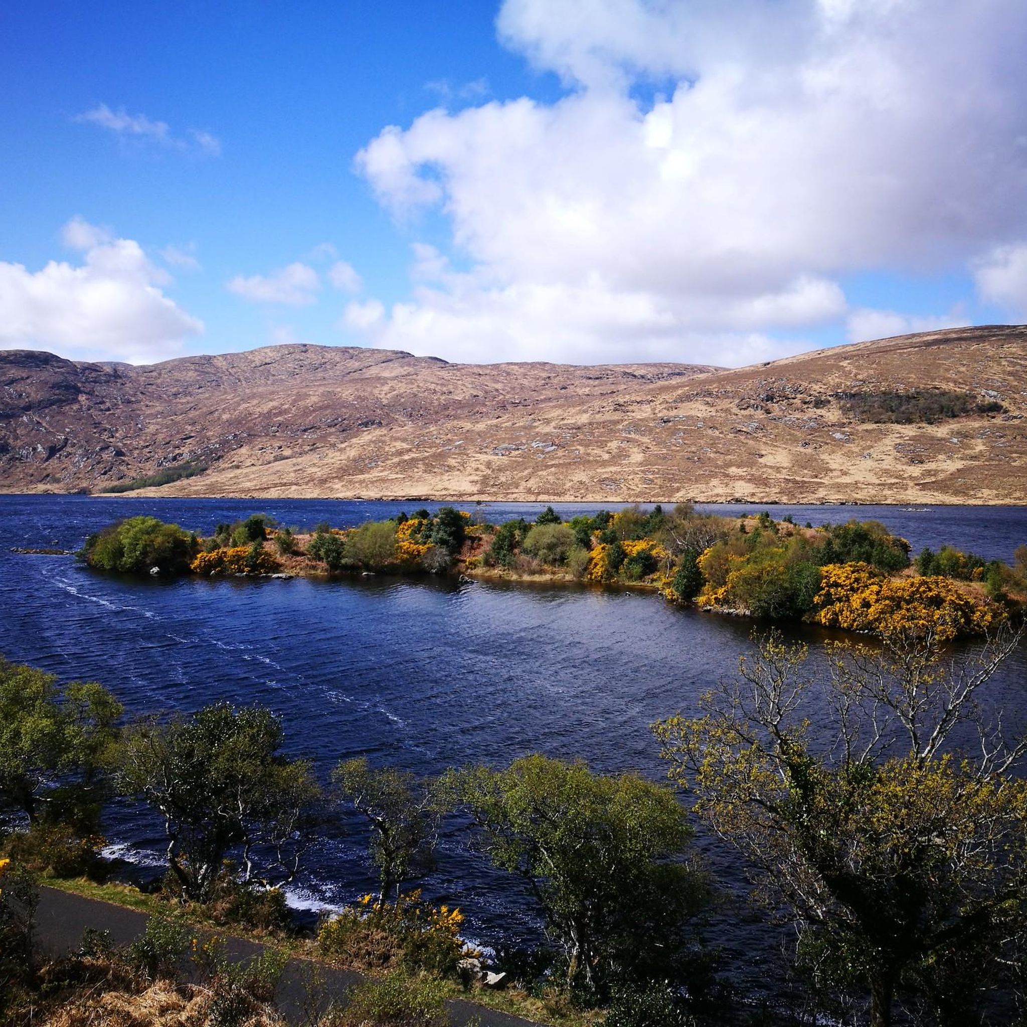
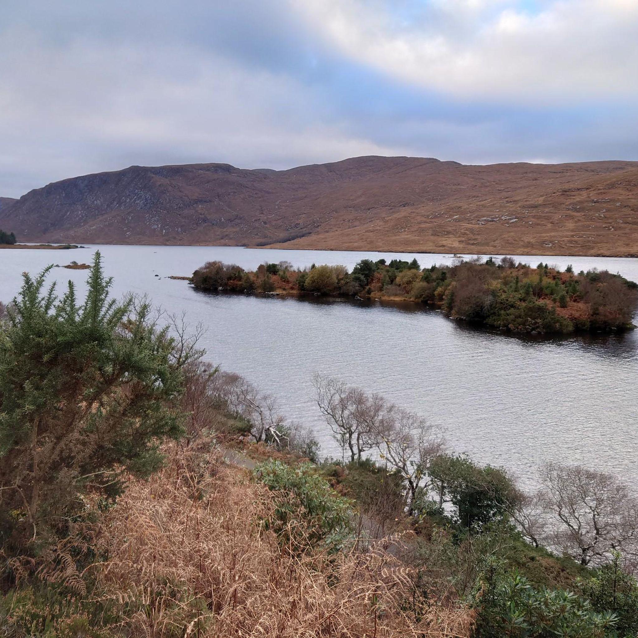
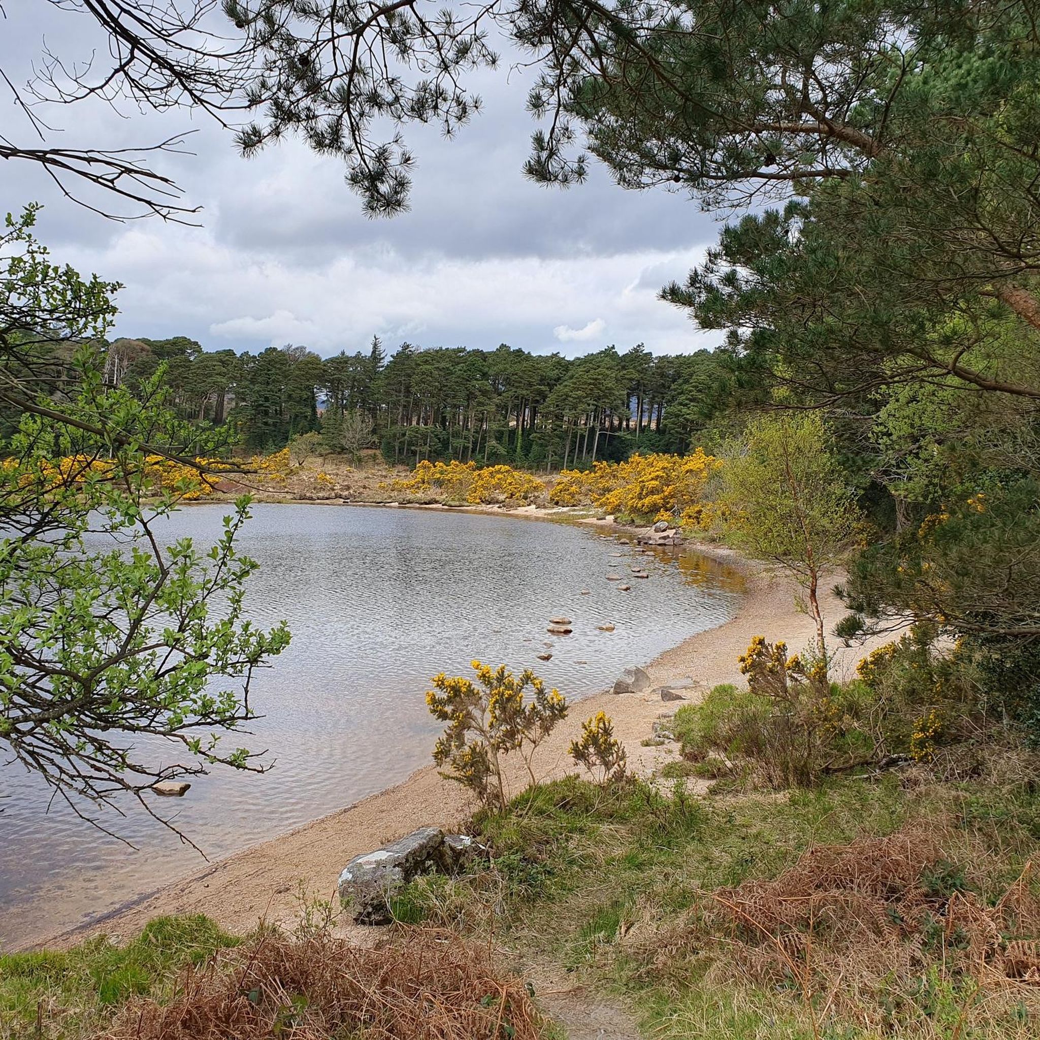
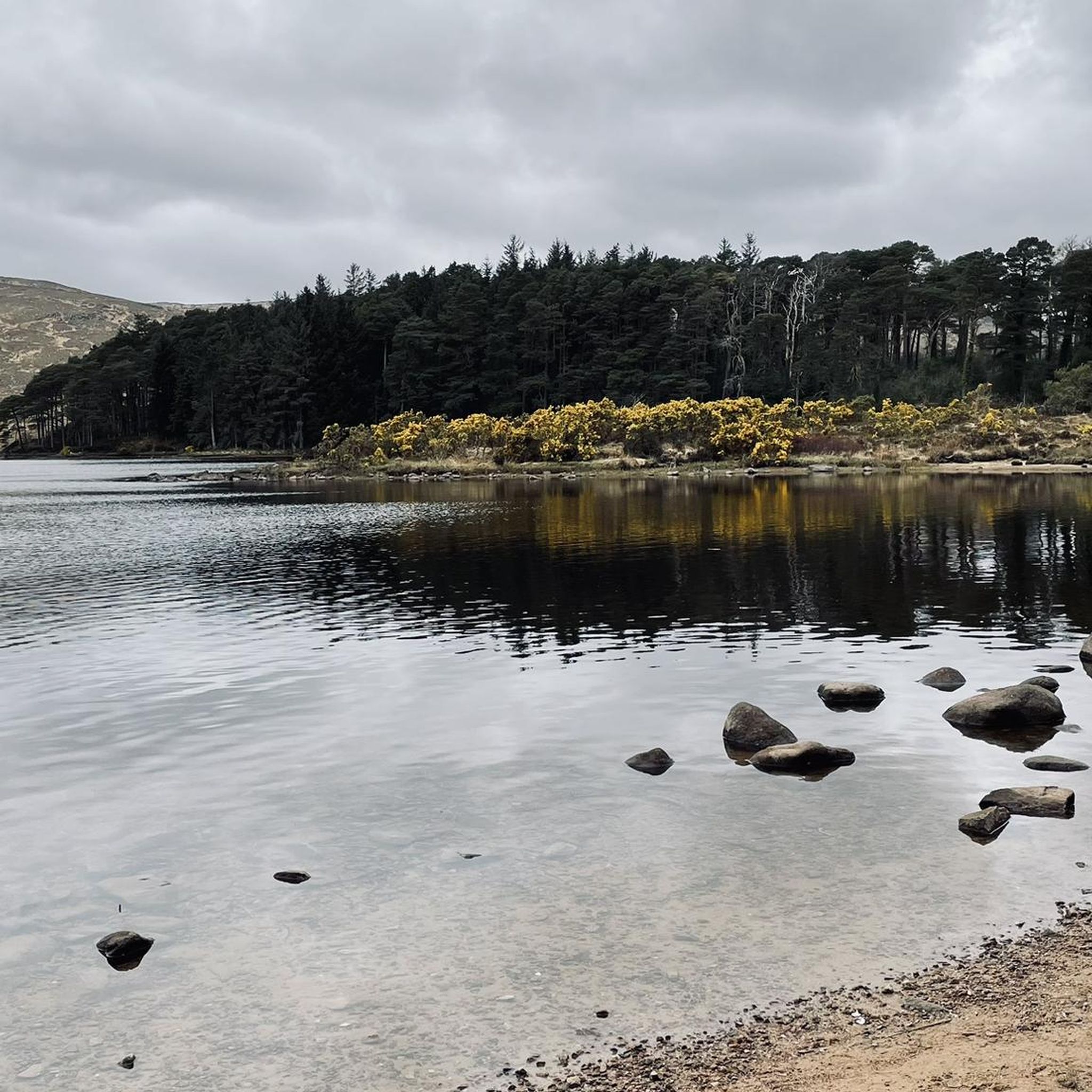
Road cycling routes around Lough Veagh traverse a landscape characterized by the expansive freshwater lake, rolling hills, and surrounding woodlands. The region offers varied terrain, from routes skirting the lough's shores to paths winding through the Letterkenny Municipal District. Road cyclists can expect a mix of gentle gradients and more challenging ascents, with elevations reaching over 1,200 meters on some routes. The area provides a natural setting for road cycling, with routes often passing through open countryside.
Best road cycling…
Last updated: July 9, 2026
4
riders
36.1km
01:48
390m
390m
Moderate road ride. Good fitness required. Mostly well-paved surfaces and easy to ride.
107km
05:20
1,200m
1,200m
Hard road ride. Very good fitness required. Mostly well-paved surfaces and easy to ride.

Sign up for free
14
riders
58.7km
02:53
720m
720m
Moderate road ride. Good fitness required. Mostly well-paved surfaces and easy to ride.
18
riders
50.5km
02:10
430m
430m
Moderate road ride. Good fitness required. Mostly well-paved surfaces and easy to ride.
10
riders
56.1km
02:40
690m
690m
Moderate road ride. Good fitness required. Mostly well-paved surfaces and easy to ride.
Get access to more routes and recommendations from other explorers.
Sign up for free
Already have an account?
Our route recommendations are based on thousands of hikes, rides, and runs completed by other people on komoot.
Start today with a free account
Your next adventure awaits.
Login or Signup
Tips from the Community

Milford, or Ballynagalloglagh in Irish, is a small town in Donegal. It's a decent launch base for Glenveagh National Park and the Derryveagh Mountains, which are a drive to the west. More locally, there's the Colmcille Trail, a pleasant 7-kilometre (4-mi) hike that heads to a pretty lake of the same name.
0
0

Rossguill lies between Fanad to the east and Horn Head to the west, a narrow peninsula where heather, dunes, and ocean alternate. The coastline is open and slightly curved, with calm beaches and low ridges that constantly offer new views of Mulroy Bay and the Atlantic side. The roads run close to the water and through small, scattered settlements, making the landscape feel both vast and intimate. It is an area defined primarily by light, wind, and the open space of North Donegal.
6
0
From this high point, you look out over Tranarossan Bay, a quiet, semi-circular inlet on the north coast of Rosguill. The view combines clear turquoise water, light sandy beaches, and the rugged rock heads that are so typical of this part of the Wild Atlantic Way. In good light, you can see how the bay looks almost Caribbean, while the rugged hills behind preserve the pure Donegal character.
6
0
Rosguill Panorama: The Untamed North Coast. Photo tip: Use the depth of the coastline to give scale to your photo. The contrasts between the green heath, the dark rocks, and the changing light on the water make this a top location for landscape photography. From this elevated point, you look down on the rugged beauty of Dooey Beach, a vast stretch of golden sand constantly shaped by the powerful surf of the Atlantic Ocean. No tourist crowds, just wind, water, and the rhythm of the waves. The panorama is a 360-degree spectacle: the ocean stretches to the horizon, while the rugged coastline of the bay is framed by deep blue inlets and white foam crests. For cyclists on the Atlantic Drive, this is a challenging but rewarding segment — the narrow road follows the cliff edge, giving an intense sense of freedom.
6
0
This is the beating heart of Downings. The pier is not only a mooring place for the local fishing fleet, but also a fantastic viewpoint. From the quay, you have an unobstructed view of the glittering bay, with the contours of Ards Forest Park on the other side and, in the distance, the unmistakable ridge of Muckish Mountain. Photo tip: Aim your camera westwards over the water for a beautiful composition of boats, blue depths, and the distant Donegal mountains.
6
0
Wild Atlantic Way Discovery Point @Doe Castle View. The official Doe Castle Viewpoint across the Lackagh River. This is undoubtedly the best spot for an overview picture of the castle. From this elevated point on the other side of the Lackagh River, you have the ultimate view of the medieval fortress. While most people visit the castle up close, it is from here that you truly see how strategically and dramatically it is positioned on the headland in Sheephaven Bay.
1
0
Lackagh Bridge is an old stone arch bridge over the River Lackagh, at the point where the open moorland of West Donegal gives way to the valleys towards Gweedore. The bridge is situated in a quiet, green corridor between low ridges and peat fields, with clear running water making its way through rocky banks.
6
0
Mount Errigal (751 m) is the highest mountain in Donegal and one of Ireland's most iconic peaks. The mountain is immediately striking with its sharp, pyramid-shaped silhouette and its quartz summit that shines almost white in sunlight. Errigal stands apart from the surrounding hills, giving it a dominant presence from all directions — especially when driving inland from Dungloe, Doochary, or Dunlewey.
5
0
Frequently Asked Questions
How many road cycling routes are available around Lough Veagh?
There are over 10 dedicated road cycling routes around Lough Veagh, offering a variety of experiences for different skill levels. The komoot community has mapped a total of 14 routes in the area.
Are there any easy road cycling routes suitable for beginners or families?
Yes, Lough Veagh offers a couple of easy road cycling routes. These routes typically feature gentler gradients and shorter distances, making them ideal for a relaxed ride. For example, the View of the Lake – Coffee Time Café loop from Gartan ED is a moderate route that can be enjoyed by those looking for a less strenuous ride, offering scenic views without extreme climbs.
What are the typical distances for road cycling routes in the Lough Veagh area?
Route distances vary significantly. You can find shorter loops, such as the View of the Lake – Coffee Time Café loop from Gartan ED at approximately 36 km (22.4 miles), to much longer and more challenging rides like the From Creeslough to Glenveagh and Falcarragh loop, which spans over 106 km (66.4 miles).
Where can I find parking for road cycling routes near Lough Veagh?
Many routes start from towns or villages like Creeslough or Gartan ED, where public parking is generally available. For routes venturing into Glenveagh National Park, designated parking areas are provided, often near visitor centers or trailheads. Always check local signage for specific parking regulations and fees.
What are the most challenging road cycling routes around Lough Veagh?
For experienced cyclists seeking a challenge, the From Creeslough to Glenveagh and Falcarragh loop is a difficult route with significant elevation gain, traversing through Glenveagh National Park and along coastal sections. Another challenging option is the Dunlewey viewpoint loop from Creeslough, which features over 700 meters of ascent.
When is the best time of year for road cycling in Lough Veagh?
The spring, summer, and early autumn months (April to October) generally offer the most favorable conditions for road cycling around Lough Veagh. During these periods, you can expect milder temperatures and longer daylight hours. However, the weather in Ireland can be unpredictable, so it's always wise to be prepared for changing conditions.
Are there cafes or refreshment stops along the road cycling routes?
Yes, several routes pass through or near villages and towns where you can find cafes and shops for refreshments. For instance, the View of the Lake – Coffee Time Café loop from Gartan ED explicitly mentions a coffee stop. Planning your route with komoot allows you to identify potential stops along the way.
What scenic viewpoints can I expect to see while road cycling in Lough Veagh?
The region is rich in scenic beauty. Many routes offer stunning views of Lough Veagh itself, as well as the surrounding rolling hills and woodlands. You can also expect to see historical landmarks like Doe Castle, as highlighted in the Lackagh Bridge – View of Doe Castle loop from Creeslough, and expansive vistas within Glenveagh National Park.
What do other road cyclists enjoy most about cycling in Lough Veagh?
The komoot community highly rates the road cycling experience in Lough Veagh, with an average score of 5.0 stars. Cyclists often praise the diverse terrain, from lake views to challenging ascents, and the opportunity to explore the natural beauty of the region, including areas like Glenveagh National Park and coastal stretches.
Are the road cycling routes around Lough Veagh typically loop routes?
Yes, most of the road cycling routes detailed for the Lough Veagh area are designed as loops. This allows cyclists to start and finish at the same point, making logistics simpler. Examples include the View of the Lake – Coffee Time Café loop from Gartan ED and the View of Doe Castle – View of Doagh Bay loop from Creeslough.
What kind of terrain can I expect on road cycling routes in Lough Veagh?
The terrain around Lough Veagh is varied, offering a mix of experiences. You'll encounter routes skirting the lough's shores, providing relatively flat sections, alongside paths winding through rolling hills with more challenging ascents. Some routes, particularly those extending into Glenveagh National Park, feature significant elevation changes, with climbs reaching over 1,200 meters.

Get inspired with the komoot mobile app


Explore more
Browse the best Road cycling routes in other regions.
