The best road cycling routes around Lough Gill
103
riders
5
rides
Road cycling routes around Lough Gill traverse a landscape characterized by a large freshwater lake, surrounded by densely forested shores and wooded hills. The region sits within a limestone basin, contributing to its unique ecological features. Cyclists encounter winding roads with views of the lough and its numerous small islands, alongside areas like Slish Wood and Dooney Rock. The terrain includes gentle stretches and more challenging ascents on hills such as Slieve Killery and Slieve Daean.
Best road cycling routes…
Last updated: July 1, 2026
33
riders
46.8km
02:06
380m
380m
Moderate road ride. Good fitness required. Some segments of this route may be unpaved and difficult to ride.
11
riders
47.6km
02:25
610m
610m
Moderate road ride. Good fitness required. Mostly well-paved surfaces and easy to ride.

Sign up for free
25
riders
57.2km
03:05
990m
990m
Hard road ride. Very good fitness required. Some segments of this route may be unpaved and difficult to ride.
24
riders
47.9km
02:15
520m
520m
Moderate road ride. Good fitness required. Mostly well-paved surfaces and easy to ride.
10
riders
59.6km
02:48
620m
620m
Moderate road ride. Good fitness required. Mostly well-paved surfaces and easy to ride.
Our route recommendations are based on thousands of hikes, rides, and runs completed by other people on komoot.
Start today with a free account
Your next adventure awaits.
Login or Signup
Popular around Lough Gill
Tips from the Community

Connor Pass is the road saddle on the Dingle Peninsula Road. The car park at the top is a good start for a walk up to Lough Doon, or higher into the mountains. Great views from here and even better from higher up. There is also a small waterfall a short distance from the car park.
0
0

Small town, spruced up, colorful houses, many pubs and shops for shopping.
0
0

Castlegregory is the main village on the north coast of the Dingle Peninsula and forms a strategic base for cyclists. Located at the foot of the Maharees Peninsula, the village separates the bays of Brandon and Tralee. For passing cyclists, the village offers essential facilities such as a supermarket (Spar), post office, pharmacy, and various catering establishments.
7
0
At the top of Sron Bhrón, the landscape opens up to the Atlantic Ocean. The road climbs here along the flank of the mountain, giving you a wide view over the coastline and the open water. A clear, windy point where the height and the sea together let you feel the character of the Dingle coast.
7
0
along a coastal road that winds at the foot of Mount Brandon, between low stone walls and small fields where sheep and horses pass. At the end of the road, a path begins that runs along impressive cliffs.
8
0
Conor Pass (An Chonair) is a narrow, rugged mountain pass where the climb from Dingle immediately settles into a steady rhythm: long stretches of 6–8% with a few shorter outliers towards 10%, as the road winds its way up along rock faces. The tarmac is good but narrow, with limited space to deviate and sometimes strong crosswinds that hit the flank from the valleys. As you gain height, the landscape opens up, and you see the lakes and peat slopes recede below you. The summit is windy and bare, but offers a wide panorama towards Brandon Bay — and a fast, technical descent on the north side where you ride through tight bends and open sections with variable wind pressure.
7
0
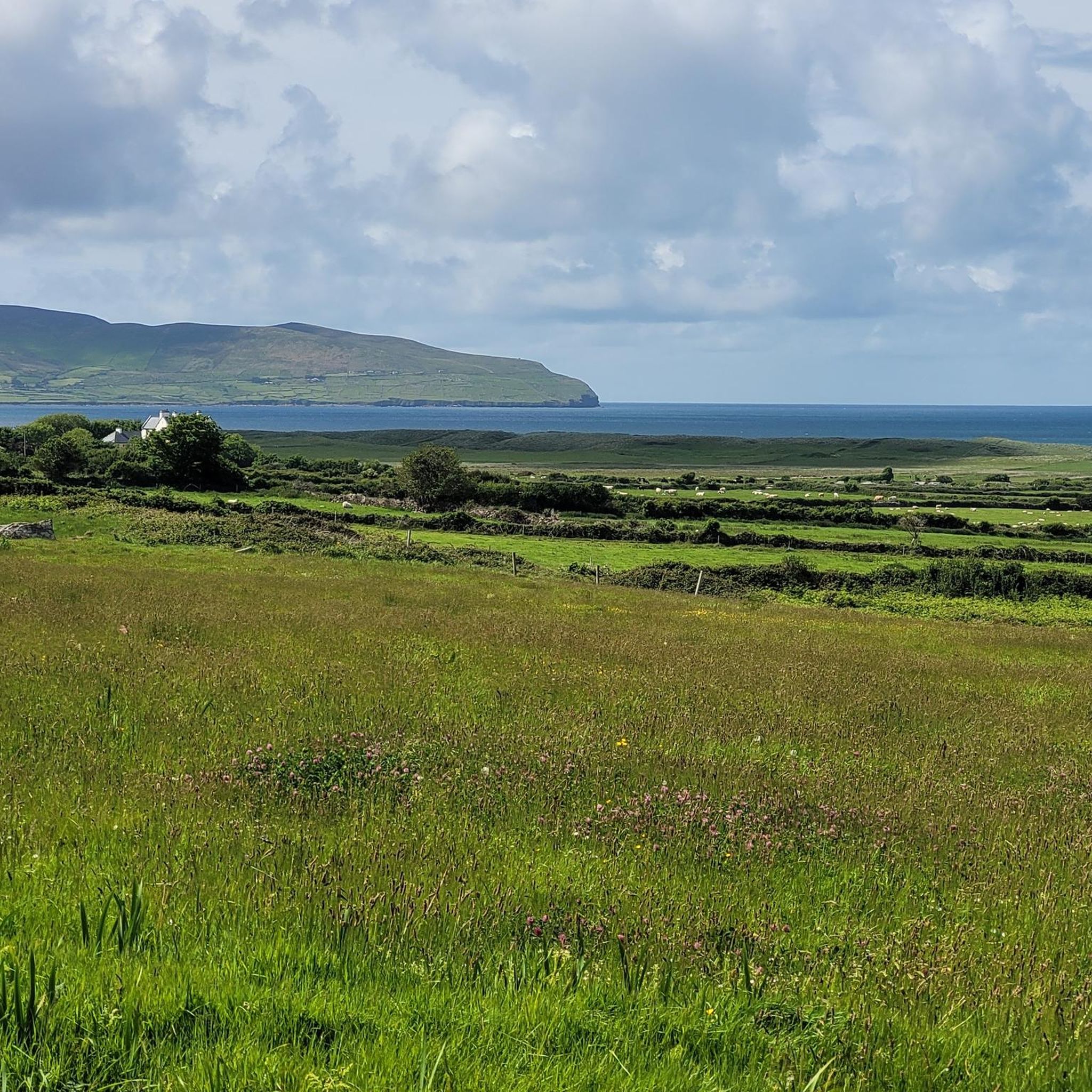
From the car park, you can admire the panorama on both sides of the peninsula, grey and stark in the north, green and softer in the south.
8
0
Frequently Asked Questions
How many road cycling routes are available around Lough Gill?
There are several road cycling routes around Lough Gill, offering a variety of experiences for different skill levels. Our guide features 5 distinct routes, including moderate and difficult options.
What kind of terrain can I expect on road cycling routes around Lough Gill?
Road cycling around Lough Gill features winding roads that offer hypnotic views of the lough and its forested shores. You'll encounter both gentle stretches and more challenging ascents on hills like Slieve Killery and Slieve Daean. The region sits within a limestone basin, contributing to its unique landscape.
Are there any circular road cycling routes around Lough Gill?
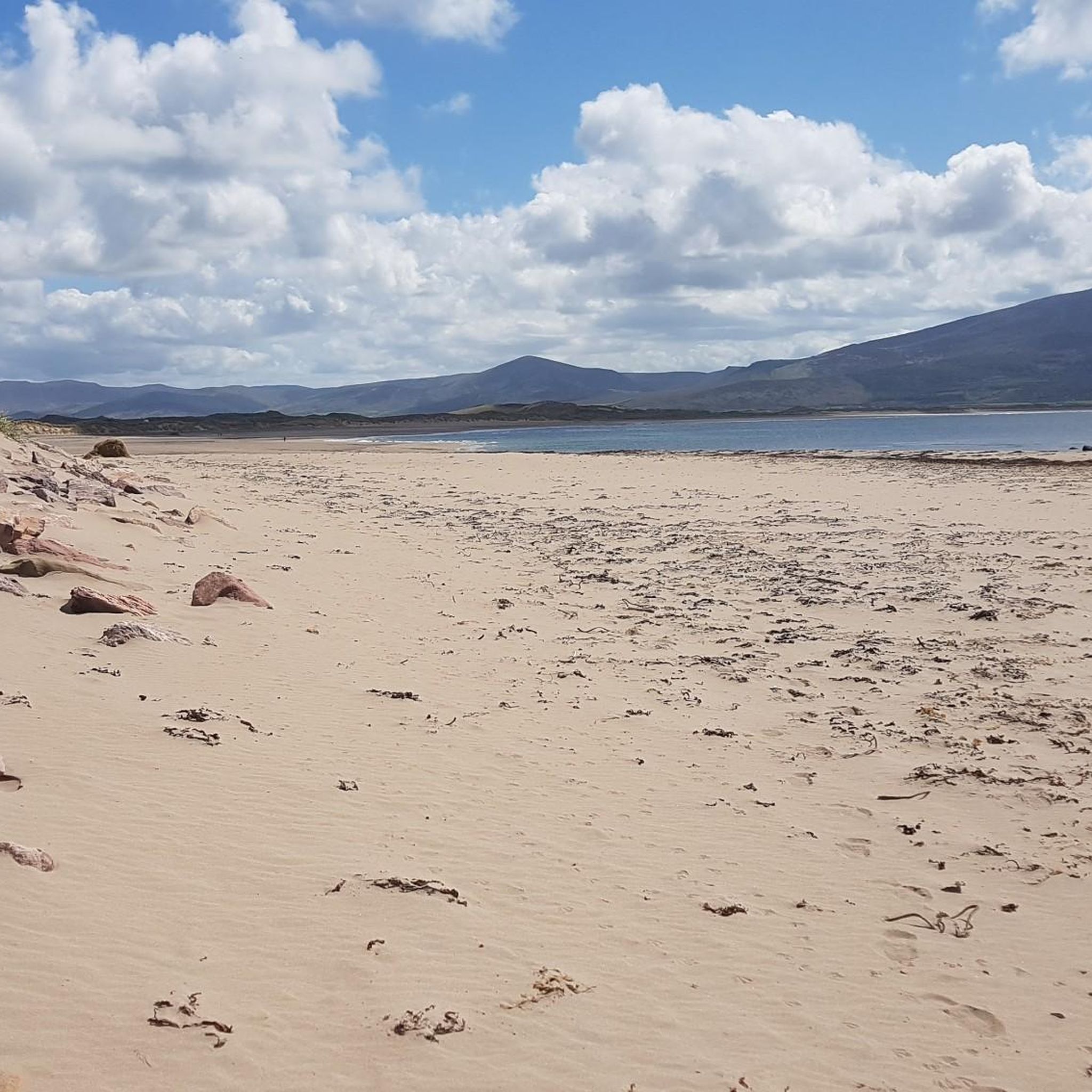
Yes, many of the routes around Lough Gill are designed as loops, allowing you to start and finish in the same location. For example, the Brandon Beach – Brandon Point Viewpoint loop from Castlegregory ED is a popular moderate circular route.
What are the difficulty levels of road cycling routes in the Lough Gill area?
The road cycling routes around Lough Gill cater to various abilities. You'll find a mix of moderate routes, such as the Castlegregory loop from Castlegregory, and more difficult options like the View from Connor Pass – Dingle Harbour loop from Dingle Peninsula, which includes significant elevation gain.
What natural features can I see while cycling around Lough Gill?
Lough Gill is renowned for its shimmering waters and densely forested shores. Cyclists can enjoy views of woodlands like Slish Wood, Dooney Rock, and Hazelwood, as well as numerous small, uninhabited islands, including the famous 'Lake Isle of Innisfree'. Majestic mountain ranges and wooded hills such as Slieve Killery and Slieve Daean also add to the dramatic scenery.
Are there any historical landmarks or attractions along the road cycling routes?
Yes, beyond the natural beauty, you can explore historical sites. Parkes Castle, a 17th-century fortified manor house, is located directly on the shores of Lough Gill. The charming Dromahair Village is also a good stopping point, and a slight detour can lead to Creevelea Friary.
Where can I find parking for road cycling routes around Lough Gill?
While specific parking areas for each route are not detailed in the guide, many cyclists begin their tours from Sligo Town, where various parking options are available. Look for designated parking near popular starting points or attractions like Parkes Castle.
Are there cafes or pubs along the road cycling routes for refreshments?
Yes, Dromahair Village, located in County Leitrim, serves as a convenient stopping point along some routes and offers pubs and cafes where you can refresh and refuel during your ride.
What is the best time of year to go road cycling around Lough Gill?
The region's picturesque landscapes are enjoyable throughout much of the year. While specific seasonal advice isn't provided, the moderate difficulty of many routes suggests they are accessible in various conditions. Spring and summer generally offer the most pleasant weather for cycling.
Can I rent a bike in the Lough Gill area?
Yes, if you're looking to rent a bike, Sligo Town is a good starting point. Bike rental options are readily available there, making it convenient to access the Lough Gill cycling routes.
How long do the road cycling routes around Lough Gill typically take to complete?
The duration varies depending on the route and your pace. For example, the Conor Pass – View from the Conor Pass loop from Scraggane Pier, a moderate route of about 47 km, typically takes around 2 hours 13 minutes. Longer, more difficult routes can take over 3 hours.

Get inspired with the komoot mobile app


