The best walks and hikes around Lough Gill
4.6
(230)
977
hikers
23
hikes
Hiking around Lough Gill offers diverse landscapes centered on a freshwater lake, approximately 5 miles (8 km) long. The region is characterized by lush woodlands, rolling hills, and views of surrounding mountains like Benbulben. Numerous small islands dot the lake, adding to the scenic variety. This area, designated a Special Area of Conservation, features a unique microclimate supporting rich biodiversity.
Best hiking trails around Lough Gill
- The most popular hiking route is The Dingle Way: Castlegregory Loop, a 11.1…
Last updated: August 28, 2026
4.9
(15)
68
hikers
17.9km
04:31
40m
40m
Hike the moderate 11.1-mile Dingle Way: Castlegregory Loop, offering coastal views of Brandon Bay and sandy beaches.
4.0
(1)
3
hikers
13.8km
03:48
830m
830m
Hike the Beenoskee and Stradbally Mountain Loop, a moderate 8.6-mile trail with 2707 feet of elevation gain, offering panoramic views.

Sign up for free
3.40km
01:04
230m
Easy hike. Great for any fitness level. Easily-accessible paths. Suitable for all skill levels.
5.0
(5)
16
hikers
Easy hike. Great for any fitness level. Easily-accessible paths. Suitable for all skill levels.
5.0
(1)
6
hikers
20.1km
05:26
270m
270m
Hard hike. Very good fitness required. Easily-accessible paths. Suitable for all skill levels.
Get access to more routes and recommendations from other explorers.
Sign up for free
Already have an account?
Our route recommendations are based on thousands of hikes, rides, and runs completed by other people on komoot.
Start today with a free account
Your next adventure awaits.
Login or Signup
Popular around Lough Gill
Tips from the Community

Small asphalted footbridge over a narrow river course in the open fenland between Camp and Tralee. Quiet, car-free passage on the EV1 with a wide view of the Slieve Mish mountains.
7
0
Castlegregory is the main village on the north coast of the Dingle Peninsula and forms a strategic base for cyclists. Located at the foot of the Maharees Peninsula, the village separates the bays of Brandon and Tralee. For passing cyclists, the village offers essential facilities such as a supermarket (Spar), post office, pharmacy, and various catering establishments.
7
0

At the foot of Stradbally Mountain, this forest is a wonderful place to walk the well laid trails. Whether you want to go up the mountain or not, enjoy the peaceful atmosphere.
0
0

The top of the track which climbs from the R560 on the edge of Castlegregory towards Stradbally Mountain. The path from here to the summit is vague and not always clear, but generally follows the ridge and approaches the summit from the east.
0
0
Stradbally Mountain at 798 m (2,618 feet), is the smaller neighbour of Binn os Gaoith 826 m (2,710 feet), which lies across a small col to the south-west. The two mountains stand above Lough Acummeen and share the views north over the Dingle Peninsula and south to the Reeks. The normal route starts from the road to the north-east, but there isn't much of an actual trail to follow.
0
0
Binn os Gaoith is also known as Beenoskee or Benoskee. At 826 m (2,710 feet) It's the highest of the central Dingle mountains. Once you reach the summit, there are great views north over Dingle Bay and Lough Gill, and south to the Reeks on the Iveragh Peninsula. The mountain is normally climbed from the south-west but also makes a great walk via Stradbally Mountain or from Glanteenassig forest. There aren't any maintained paths, but the way to the top is fairly clear in good weather.
0
0

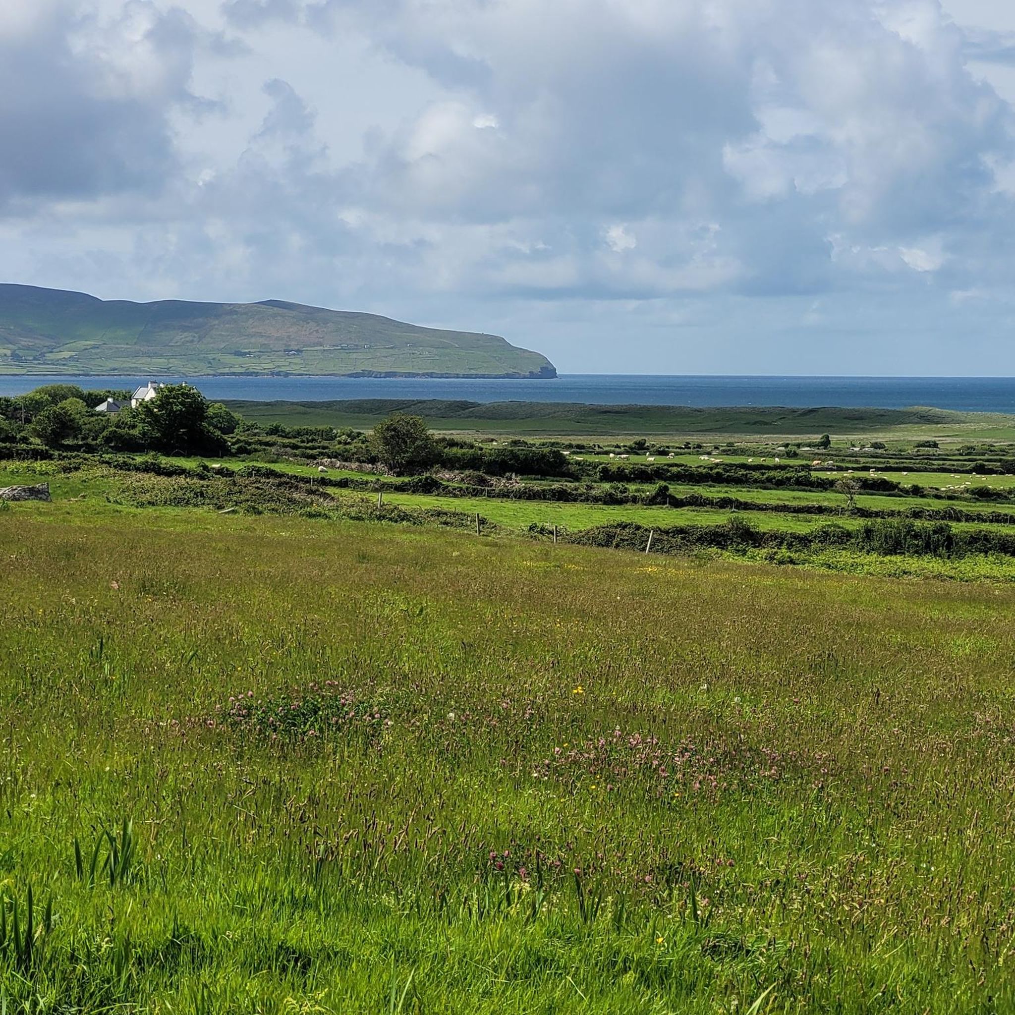
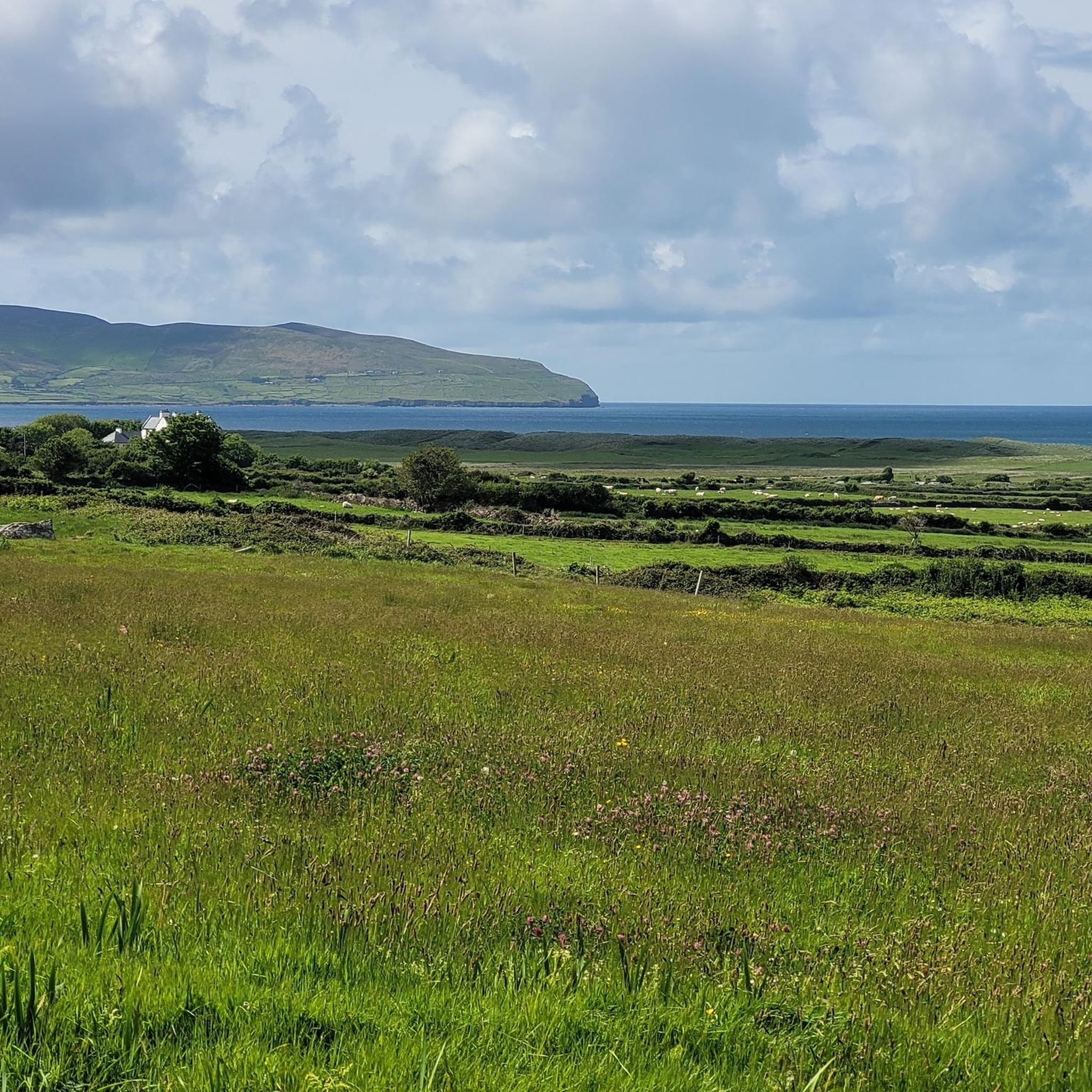
The car park in front of Spillane's offers enviable views of Brandon Bay. You almost don't need to run anywhere else.
0
0
This gorgeous long stretch of sand curves all the way from Fahamore in the north to Fermoyle Beach in the south west. Expect mountain views, surfers, sand dunes and serenity.
1
0
Frequently Asked Questions
How many hiking trails are available around Lough Gill?
There are over 20 hiking trails around Lough Gill, offering a diverse range of experiences. These include easy lakeside strolls, moderate woodland paths, and more challenging ascents into the surrounding hills.
What kind of terrain can I expect on hikes around Lough Gill?
The terrain around Lough Gill is quite varied. You'll find paths winding through ancient woodlands like Slish Wood and Hazelwood, along the shores of the freshwater lake, and up rolling hills that offer panoramic views of the water and mountains like Benbulben and Knocknarea.
Are there easy hiking trails suitable for beginners or leisurely strolls around Lough Gill?
Yes, Lough Gill offers several easy trails perfect for a relaxed walk. Options include the Hazelwood House loop, which winds through mature forests with views over the lake, and the Slish Wood and The Sligo Way loop, a gentle path through old oak woodland along the lakeshore. For a slightly longer easy option, consider the Hike to Stradbally Trailhead.
Are there challenging hikes for experienced trekkers in the Lough Gill area?
For those seeking a more demanding experience, the region provides challenging routes. The hillside Slish Wood trail offers a more strenuous climb with rewarding views. More experienced hikers can also tackle routes on Benbulben Mountain or the Beenoskee and Stradbally Mountain Loop, which features significant elevation gain and rugged terrain.
What natural features and landmarks can I see while hiking around Lough Gill?
Lough Gill is rich in natural beauty and landmarks. You can spot Innisfree Island, immortalized by W.B. Yeats, from various points around the lake. Dooney Rock offers some of the best views, including glimpses of Benbulben and Knocknarea. The ancient woodlands themselves, such as Slish Wood and Hazelwood, are significant natural features, recognized as a Special Area of Conservation for their rich biodiversity.
Are there any historical sites or points of interest accessible from the trails?
Yes, Parke's Castle, a beautifully restored 17th-century castle, is located on the northern shores of Lough Gill and offers historical insight along with excellent views of the lake. It's a great stop to combine with a hike in the area.
Are there family-friendly hiking options around Lough Gill?
Absolutely. Many of the easier trails are suitable for families. The Hazelwood House loop and the Slish Wood and The Sligo Way loop are great choices, offering relatively flat paths through woodlands with interesting features and scenic views that children can enjoy. The Lough Naparka Beach loop from Castlegregory ED is another easy option.
Can I bring my dog on the hiking trails around Lough Gill?
Many trails around Lough Gill are dog-friendly, but it's always best to keep your dog on a leash, especially in areas with livestock or protected wildlife. Please ensure you clean up after your pet to help maintain the natural beauty and cleanliness of the area.
Are there circular hiking routes available around Lough Gill?
Yes, many of the trails around Lough Gill are designed as loops, allowing you to start and end at the same point. Popular circular options include the Hazelwood House loop, the Slish Wood and The Sligo Way loop, and for a longer option, the The Dingle Way: Castlegregory Loop.
What do other hikers enjoy the most about hiking in Lough Gill?
The area is highly rated by the komoot community, with an average score of 4.5 stars. Reviewers often praise the serene lake views, the tranquility of the ancient woodlands, and the variety of trails suitable for different fitness levels. The dramatic scenery, including glimpses of Benbulben, is frequently highlighted as a favorite aspect.
What is the best time of year to hike around Lough Gill?
Lough Gill is beautiful year-round, but spring and summer (April to September) offer the most pleasant weather for hiking, with longer daylight hours and blooming flora. Autumn brings stunning foliage colors to the woodlands. Winter hiking is possible, but trails can be muddy, and weather conditions can be more challenging.

Get inspired with the komoot mobile app


Explore more
Browse the best Hikes in other regions.
