The best walks and hikes around Lough Owel
3.7
(5)
117
hikers
20
hikes
Hiking around Lough Owel offers a variety of trails in the Municipal District of Mullingar — Kinnegad, characterized by its freshwater lake and surrounding gentle terrain. The region features mostly flat or gently rolling landscapes, with minimal elevation changes, making it accessible for various hiking abilities. Paths often follow the lake shore or nearby canals, providing open views and a mix of natural and semi-urban environments. The area is defined by its waterways and the open countryside typical of County…
Last updated: October 18, 2026
8
hikers
5.99km
01:31
10m
10m
Easy hike. Great for any fitness level. Easily-accessible paths. Suitable for all skill levels.
3.0
(1)
5
hikers
11.6km
02:57
30m
30m
Hike the 7.2-mile (11.6 km) Mullingar to Lough Owel return, a moderate route offering tranquil waterside views and birdwatching.

5.0
(3)
5
hikers
13.3km
03:22
30m
30m
Moderate hike. Good fitness required. Easily-accessible paths. Suitable for all skill levels.
23.3km
05:53
50m
50m
Hike the difficult 14.4-mile (23.3 km) Royal Canal Way, gaining 157 feet (48 metres) over 5 hours and 53 minutes.
9
hikers
8.88km
02:14
10m
10m
Moderate hike. Good fitness required. Easily-accessible paths. Suitable for all skill levels.
Get access to more routes and recommendations from other explorers.
Already have an account?
Our route recommendations are based on thousands of hikes, rides, and runs completed by other people on komoot.


Tips from the Community

One of several traffic-free Greenways across Ireland, the Royal Canal Greenway is a towpath that extends for 130 kilometres (80 mi) between Maynooth in County Kildare to the village of Cloondara in Longford.
0
0
One of several traffic-free Greenways across Ireland, the Royal Canal Greenway is a towpath that extends for 130 kilometres (80 mi) between Maynorth in County Kildare to Longford Town.
0
0

Many of these old bridges are still being used and in good shape.
0
0


Wonderful single-arched bridge that spans over the Royal Canal. The bridge was built in 1806 and is a fine example of the architectual heritage of Westmeath.
1
0
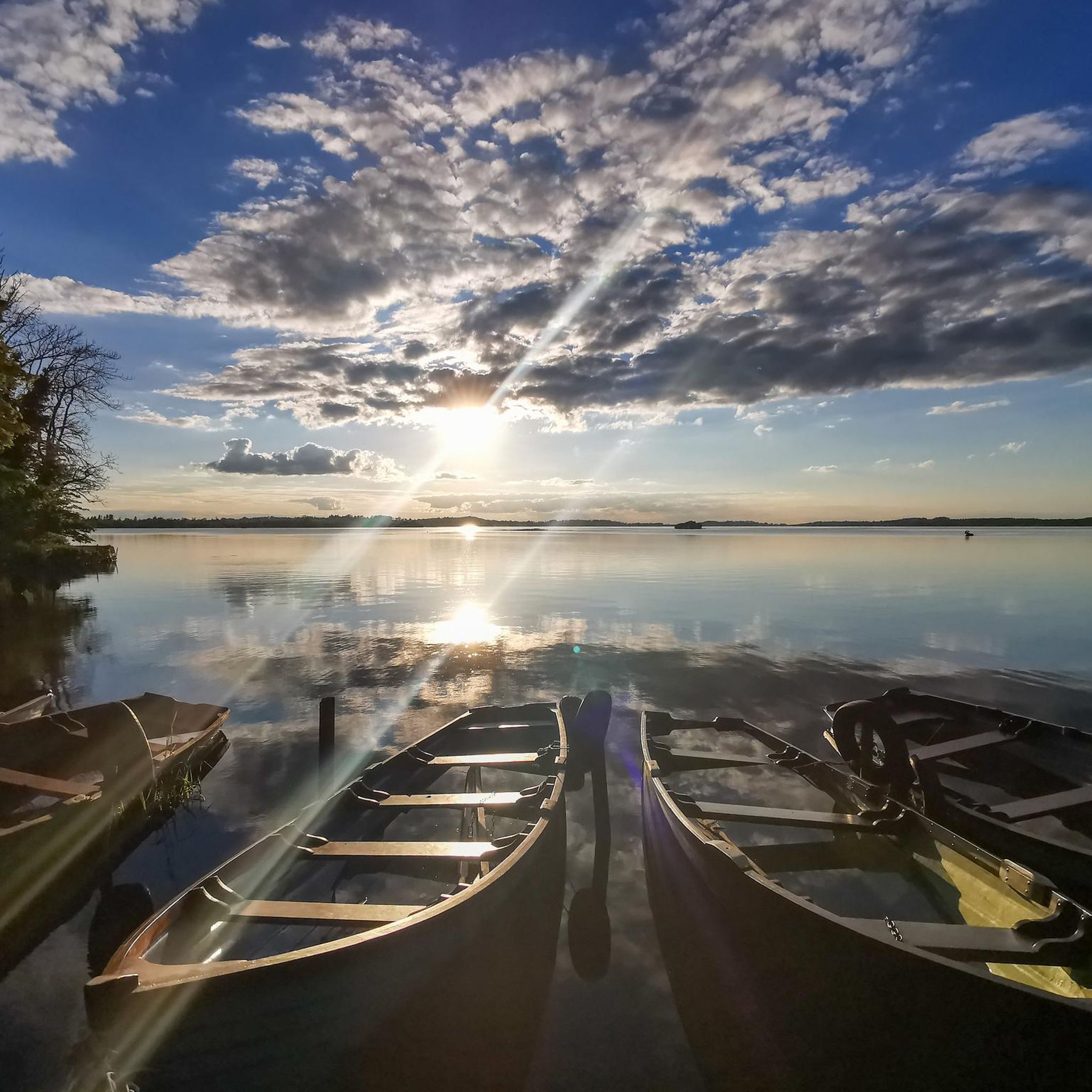
Enjoy the sensational views over the gorgeous Lough Owel near the town of Mullingar in County Westmeath. The spot is a popular swimming destination as well as sailing club, and a hotspot for fascinating local birdlife such as the Buzzard.
1
0
Enjoy the peace and tranquility of the beautiful Lough Ennell situated near Mullingar in County Westmeath. Around the lake you'll find beautiful woodland and grasslands featuring some perfect spots take a breather and regain some energy before heading back into town.
1
0
Pull up a picnic blanket and enjoy the views over the gorgeous Lough Owel near the town of Mullingar in County Westmeath. The spot is a popular swimming destination as well as sailing club, and a hotspot for fascinating local birdlife such as the Buzzard.
3
0
Frequently Asked Questions
How many hiking trails are available around Lough Owel?
There are over 20 hiking trails documented around Lough Owel on komoot, offering a variety of options for different skill levels and preferences.
Are there any easy, family-friendly walks around Lough Owel?
Yes, Lough Owel offers several easy trails suitable for families. For instance, the Mullingar – Canton Casey's pub loop from Mullingar is an easy 4.8 km (3.0 miles) route that takes about 1 hour 14 minutes, providing a gentle outing through the town's outskirts.
What are the options for longer, more challenging hikes near Lough Owel?
For those seeking a longer experience, the Mullingar to Lough Owel return is a moderate 11.6 km (7.2 miles) hike. This route offers a good distance with gentle elevation changes, taking approximately 3 hours to complete.
Are there any circular walks around Lough Owel?
Many of the trails around Lough Owel are designed as loops. The Mullingar – Canton Casey's pub loop from Cathedral of Christ the King is a popular moderate 8.4 km (5.2 miles) circular path that explores the local area with gentle gradients.
Is Lough Owel suitable for dog-friendly walks?
Many of the trails around Lough Owel are suitable for walking with dogs, particularly those that follow canal paths or open countryside. Always ensure your dog is kept under control, especially near livestock or other walkers, and check local signage for any specific restrictions.
What is the best time of year to hike around Lough Owel?
Lough Owel can be enjoyed year-round. Spring and summer offer pleasant weather and lush greenery, while autumn brings beautiful colours. Winter walks can be crisp and clear, though paths might be muddier. The region's gentle terrain makes it accessible in most conditions.
Where can I find parking for hiking trails near Lough Owel?
Parking is generally available in Mullingar, which serves as a common starting point for many routes around Lough Owel. Specific parking details can often be found on individual route descriptions on komoot, or by checking local council information for Mullingar.
Are there any cafes or pubs near Lough Owel for after a hike?
Yes, Mullingar, being a central town, offers various cafes, pubs, and restaurants where you can relax and refuel after your hike. Some routes, like the Mullingar – Canton Casey's pub loop from Cathedral of Christ the King, even incorporate local establishments into their names, indicating nearby options.
What do other hikers enjoy most about the trails in Lough Owel?
The area is highly rated by the komoot community, with an average score of 3.7 stars. Reviewers often praise the accessible, mostly flat terrain, the scenic lake-side and canal paths, and the peaceful open countryside typical of County Westmeath.
Are there any trails that offer views of Lough Owel?
Many trails in the region provide views of Lough Owel, especially those that follow its shoreline or nearby waterways. The general landscape of the area, characterized by its freshwater lake, ensures that water views are a frequent feature of the walks.
What kind of terrain can I expect on Lough Owel hiking trails?
The terrain around Lough Owel is generally flat or gently rolling, with minimal elevation changes. You can expect a mix of lake-side paths, canal routes, and open countryside, often on well-maintained tracks or quiet roads, making it accessible for various hiking abilities.
Are there any longer routes that connect to other areas?
Yes, some routes extend beyond the immediate vicinity of Lough Owel. For example, the Mullingar to Lough Ennell return via Grand Canal Way is a moderate 13.3 km (8.3 miles) hike that connects to another significant body of water via a scenic canal path.

Get inspired with the komoot mobile app


Explore more
Browse the best Hikes in other regions.
