The best mountain hikes around Sylvensteinspeicher
4.8
(354)
4,517
hikers
82
hikes
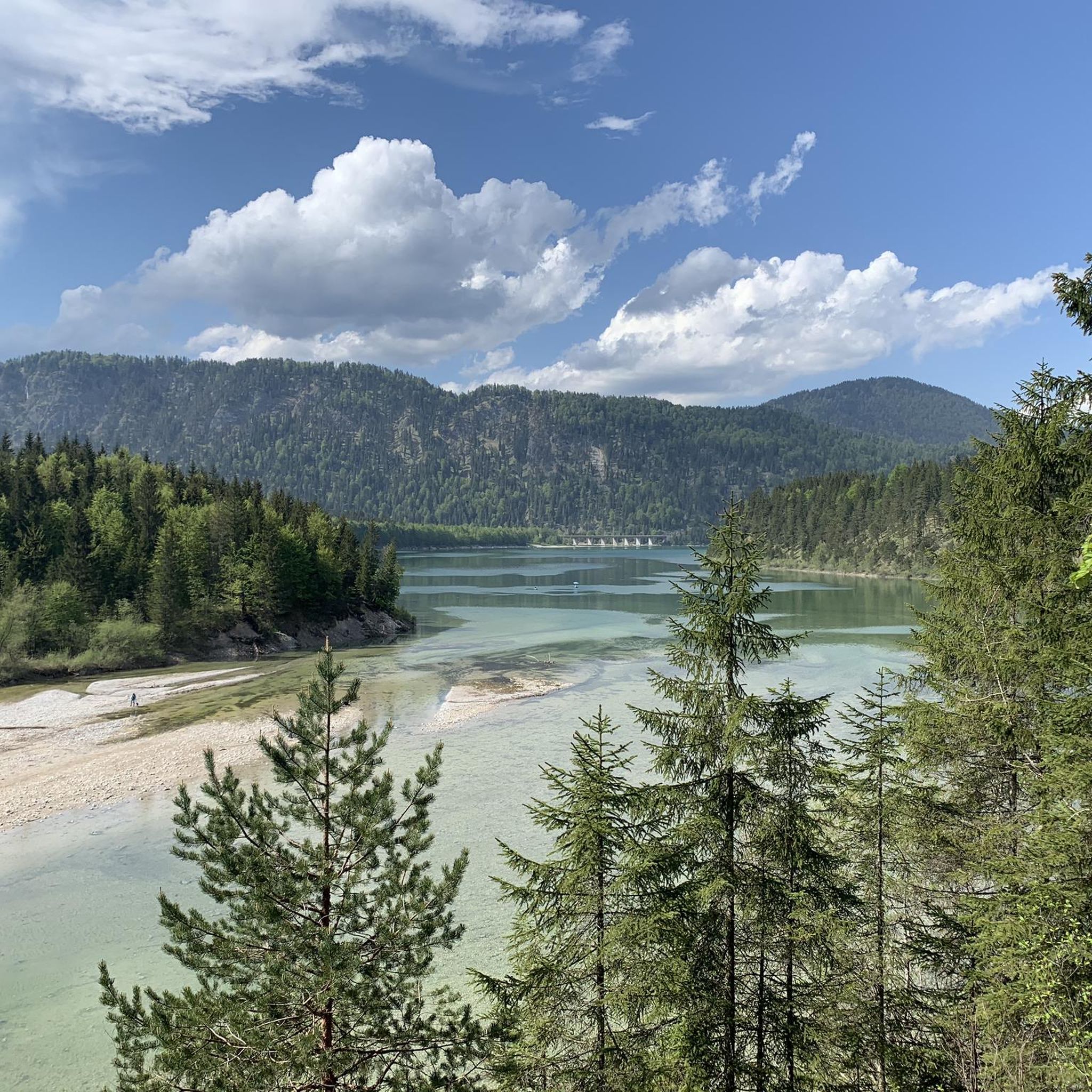
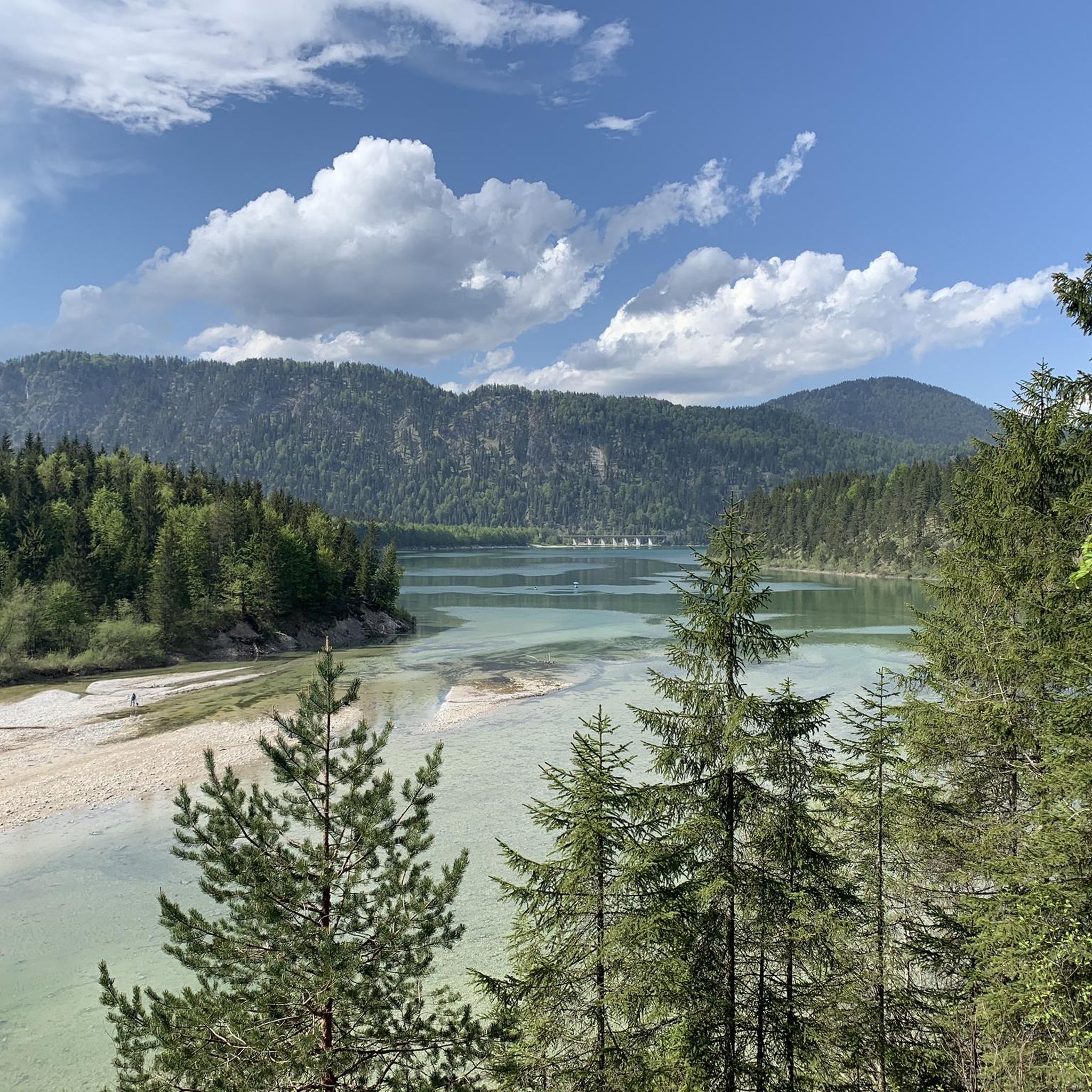
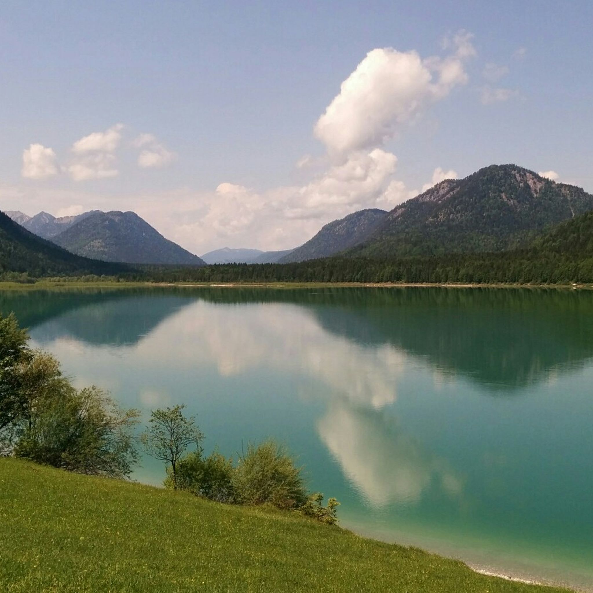
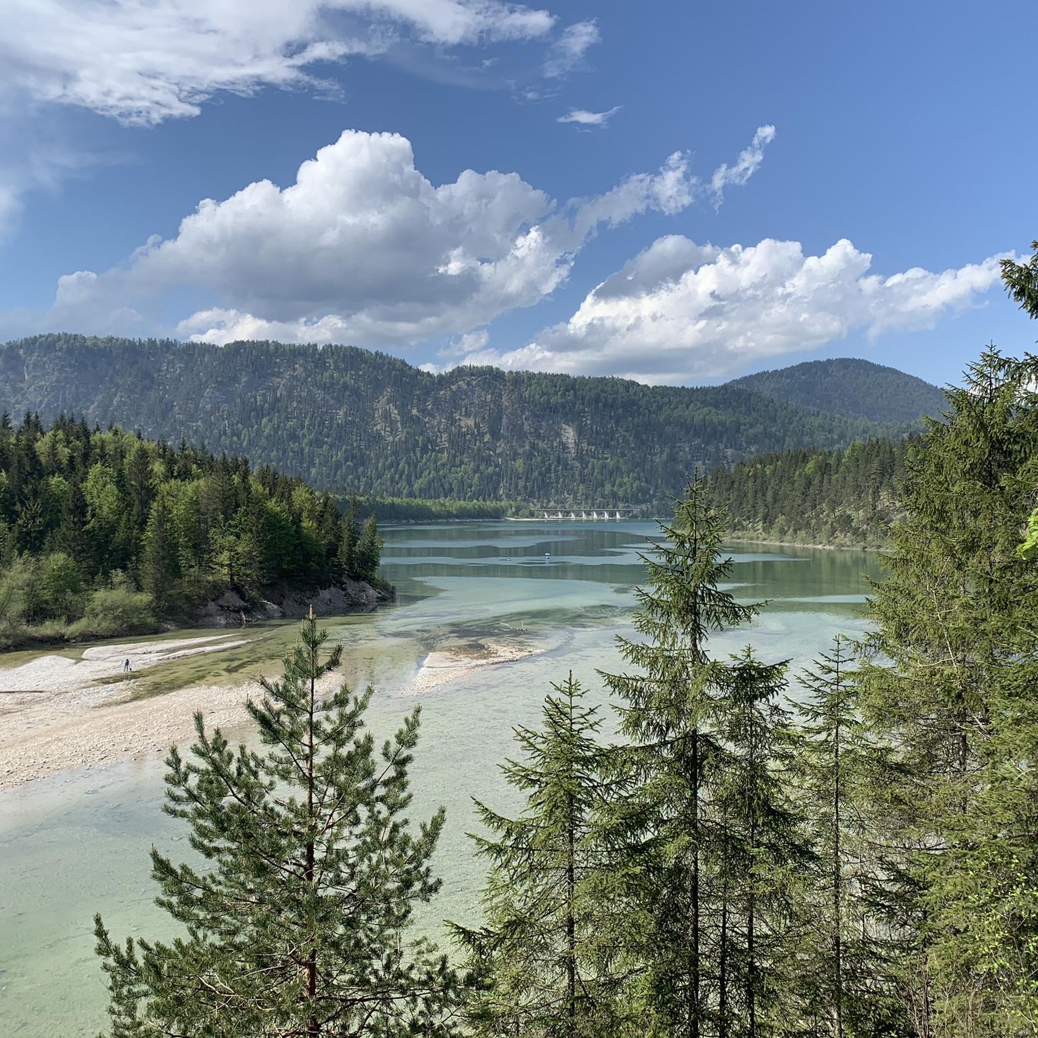
Mountaineering routes around Sylvensteinspeicher are set within the Bavarian Alps, characterized by a dramatic landscape of impressive peaks and the fjord-like Sylvensteinsee with its turquoise waters. The region features a diverse alpine environment with challenging ascents and descents, surrounded by peaks like Brauneck and in proximity to the Wetterstein and Karwendel mountains. This area offers varied terrain, including gorges, dense forests, and high-altitude viewpoints, providing a true alpine experience.
Best mountaineering routes around Sylvensteinspeicher
- The most popular mountaineering route is…
Last updated: July 5, 2026
4.5
(11)
61
hikers
16.9km
07:43
1,050m
1,050m
Hard mountaineering route. Very good fitness required. Sure-footedness, sturdy shoes and alpine experience required.
5.0
(1)
19
hikers
21.2km
07:03
940m
940m
Hard mountaineering route. Very good fitness required. Mostly accessible paths. Sure-footedness required.

Sign up for free
28
hikers
19.8km
07:59
1,210m
1,210m
Hard mountaineering route. Very good fitness required. Sure-footedness, sturdy shoes and alpine experience required.
5.0
(2)
21
hikers
17.2km
08:00
1,160m
1,160m
Hard mountaineering route. Very good fitness required. Mostly accessible paths. Sure-footedness required.
5.0
(3)
20
hikers
20.6km
07:39
900m
900m
Hard mountaineering route. Very good fitness required. Mostly accessible paths. Sure-footedness required.
Get access to more routes and recommendations from other explorers.
Sign up for free
Already have an account?
Our route recommendations are based on thousands of hikes, rides, and runs completed by other people on komoot.
Start today with a free account
Your next adventure awaits.
Login or Signup
Popular around Sylvensteinspeicher
Other adventures around Sylvensteinspeicher

Tips from the Community


An impressive view into the gorge. Beautiful to look at with the steep walls.
0
0
Grandiose view of the Karwendel mountains. Good to do as a round tour.
0
0

Super beautiful alpine meadow, transition to Grasköpfl
0
0

There's no cross, but it's a good option if you don't want to encounter too many people. Good views.
0
0

The trail isn't actually difficult or steep in dry summer. However, the grassy slope it runs across is very steep, and the trail is very narrow (only about 25 cm wide for long stretches). In winter, the trail would disappear completely in snow, leaving a steep, impassable slope.
0
1

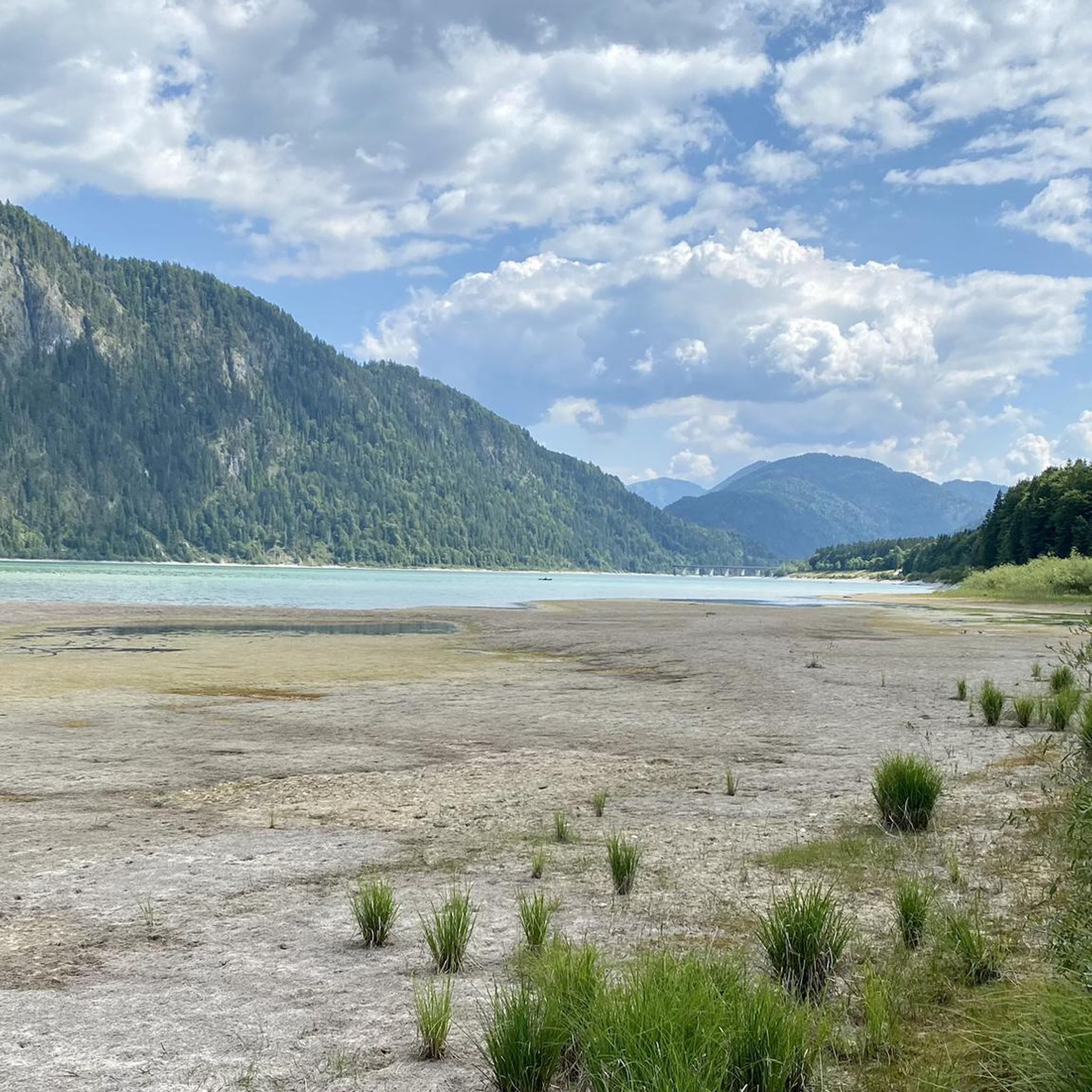
In addition to its function as a flood protection, the reservoir also serves as a recreational area. The former village of Fall was demolished before the flooding and rebuilt at a higher location. The lake was named after a rock in the upper Isar valley and was an important protective factor during various flood events, such as in 1999 and 2005.
0
0
Frequently Asked Questions
How many mountaineering routes are available around Sylvensteinspeicher?
There are over 80 mountaineering routes around Sylvensteinspeicher, offering a wide range of experiences. Most of these, about 67, are considered difficult, while around 17 are moderate, catering to various skill levels.
What kind of terrain can I expect on mountaineering routes in this region?
The terrain around Sylvensteinspeicher is diverse and truly alpine. You'll encounter challenging ascents and descents, deep gorges, dense forests, and high-altitude viewpoints. The region is characterized by impressive peaks and the fjord-like Sylvensteinsee with its turquoise waters, providing a dramatic backdrop to your hikes.
Are there any moderate mountaineering routes suitable for those with less experience?
Yes, while many routes are challenging, there are moderate options available. A great choice is the Hölleialm – Walchen Gorge loop from Walchenbergl. This 7.3 km (4.5 miles) route takes about 3 hours 18 minutes and offers beautiful views of the Walchen Gorge and surrounding alpine scenery without extreme difficulty.
What are some of the more challenging mountaineering routes in the area?
For experienced mountaineers, there are several demanding routes. Consider the View of the Upper Isar – Schürpfeneck (1,623 m) loop from Fall, a difficult 16.4 km (10.2 miles) path with expansive views. Another challenging option is the Dürrach Gorge – Lerchkogel Summit loop from Fall, which is 21.7 km (13.5 miles) long and typically takes over 7 hours to complete.
What natural features or landmarks can I see along the mountaineering routes?
The region is rich in natural beauty. You'll frequently encounter the stunning, fjord-like Sylvenstein Reservoir with its turquoise waters. Other notable features include the Faller Klamm Bridge and various viewpoints offering panoramic vistas over the reservoir and the surrounding Bavarian Alps.
Are there any circular mountaineering routes around Sylvensteinspeicher?
Yes, many of the mountaineering routes are designed as loops, allowing you to start and end at the same point. Examples include the moderate Hölleialm – Walchen Gorge loop and the more challenging Grammersbergalm – Grasköpfl Summit Cross loop from Sylvensteinspeicher, which covers 19.5 km (12.1 miles).
What do other mountaineers say about the routes in Sylvensteinspeicher?
The mountaineering routes around Sylvensteinspeicher are highly regarded by the komoot community, holding an average rating of 4.8 stars from over 350 reviews. Mountaineers often praise the stunning views, the diverse alpine environment, and the well-maintained trails that offer a true mountain experience.
Are there any huts or places to stop for refreshments along the trails?
Yes, the region benefits from excellent Alpine infrastructure. You'll find idyllic huts like Gindelalm and Kotalm along some routes, which invite hikers to stop for refreshments and sample regional delicacies, providing a welcome break during longer tours.
What is the best time of year for mountaineering around Sylvensteinspeicher?
The Bavarian Alps offer great mountaineering opportunities, but the best time depends on your preference. Spring and autumn provide pleasant temperatures and vibrant scenery, while summer allows for higher altitude tours. Winter mountaineering is possible but requires specific equipment and experience due to snow and ice conditions.
Are there options for multi-day mountaineering tours in the area?
While many routes are day trips, the broader region offers opportunities for more extensive multi-day tours. For those seeking longer adventures, routes to Demeljoch and the crossing of the Juifen are mentioned as options for multi-day excursions, allowing for deeper exploration of the alpine environment.
What kind of wildlife might I encounter on the mountaineering routes?
The Sylvensteinspeicher area boasts a rich variety of flora and fauna. While specific sightings are never guaranteed, you might encounter various alpine birds, deer, and other small mammals typical of the Bavarian Alps. Always observe wildlife from a respectful distance.
Is there a particularly scenic difficult route that offers expansive views?
Absolutely. The Dürrnbergjoch (1,835 m) – Demeljoch Summit loop from Fall is a challenging 16.7 km (10.4 miles) route that ascends to significant elevations, rewarding mountaineers with truly expansive and breathtaking views of the surrounding peaks and valleys.
Most popular routes around Sylvensteinspeicher
Most popular attractions around Sylvensteinspeicher

Get inspired with the komoot mobile app


Explore more
Browse the best Mountain Hikes & Routes in other regions.
