The best road cycling routes around Upper Bear Creek
4.0
(8)
307
riders
26
rides
Road cycling routes around Upper Bear Creek, Colorado, navigate diverse landscapes characterized by dense Ponderosa Pine forests, expansive meadows, and prominent granite formations. The region offers a variety of routes, from moderate rides to challenging ascents with significant elevation gain. Cyclists can expect scenic mountain views, including vistas of Mount Evans, and paths that often follow the course of Bear Creek. This area provides a mountain cycling experience within reach of urban conveniences.
Best road cycling routes around Upper Bear Creek
- The most popular road cycling route is Mestaa'Ėhehe Pass Summit – Summit Lake loop from Evergreen, a 58.1 miles (93.6 km) trail that takes 5 hours 28 minutes to complete. This difficult route features substantial elevation gain through the scenic Rocky Mountains.
- Another top favourite among local road cyclists is Witter Gulch Road – Mestaa'Ėhehe Pass Summit loop from Elk Meadow Park, a moderate 21.7 miles (35.0 km) path. This route offers a scenic ride along Witter Gulch Road with notable elevation changes.
- Local road cyclists also love the Picnic Area at Evergreen Lake – Evergreen Lake loop from Evergreen, a 33.6 miles (54.0 km) trail leading through areas around Evergreen Lake, often completed in about 3 hours 11 minutes.
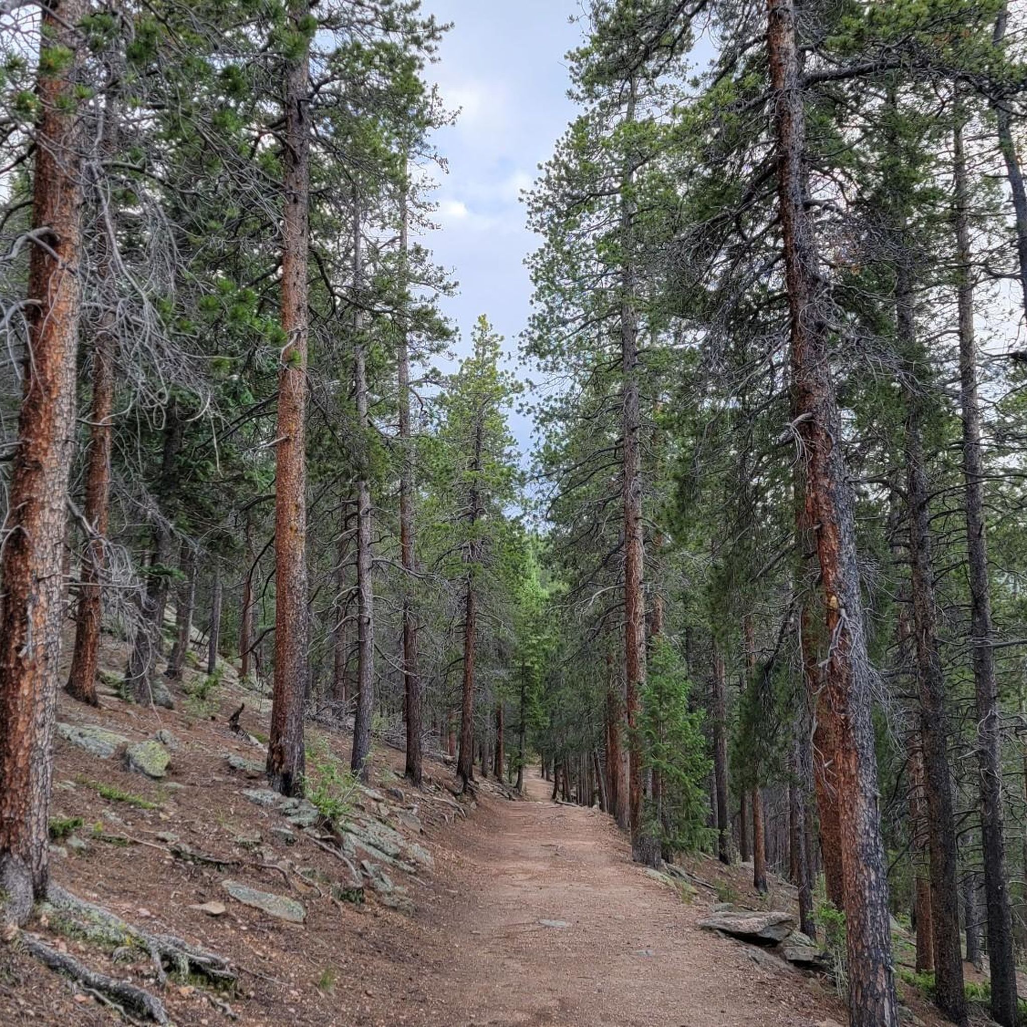
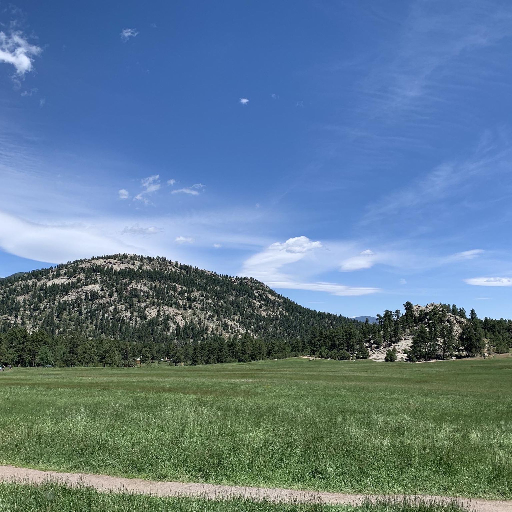
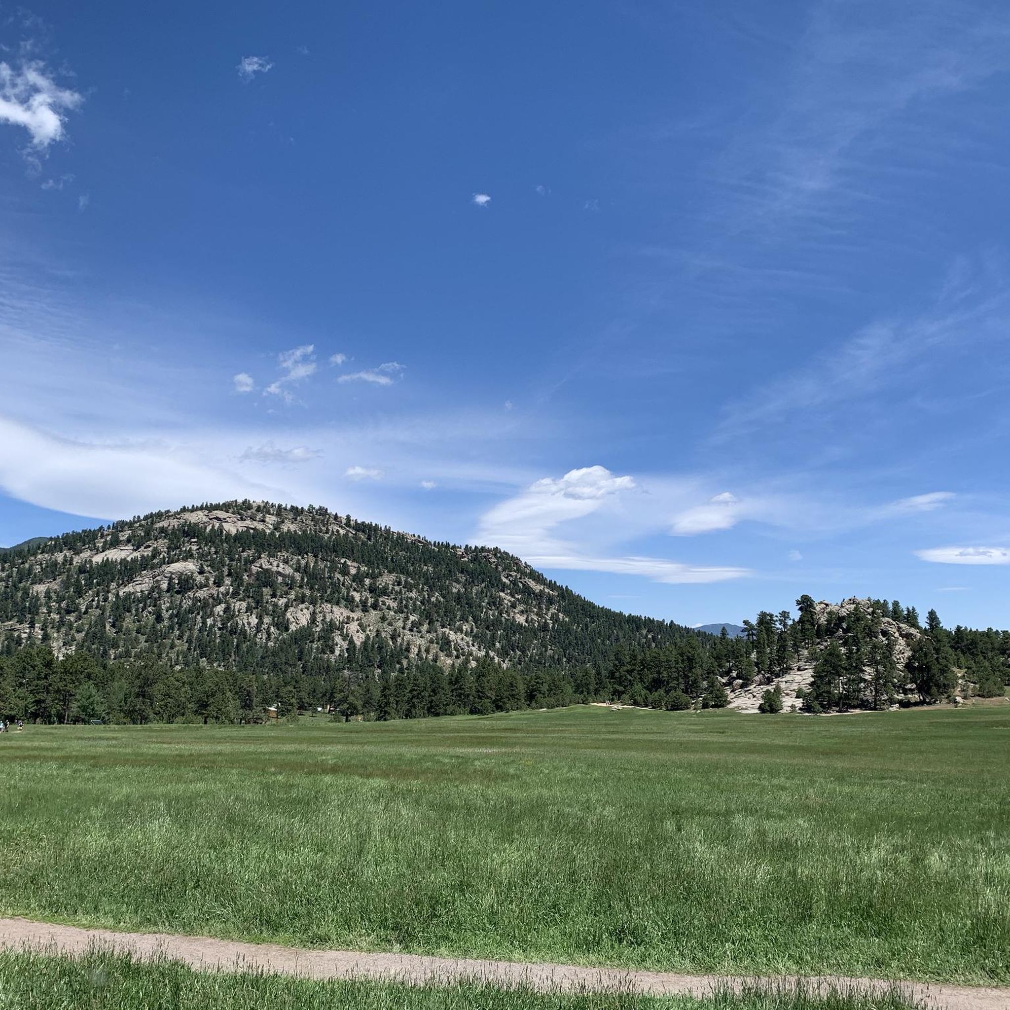
- Road cycling around Upper Bear Creek is defined by Ponderosa Pine forests, granite formations, and beautiful mountain views. The network offers options for different ability levels, from moderate rides to advanced climbs.
- The routes in Upper Bear Creek are highly rated by the komoot community with an average score of 3.8 stars from 8 reviews. More than 595 road cyclists have used komoot to explore Upper Bear Creek's varied terrain.
Last updated: July 10, 2026
3.5
(2)
50
riders
35.0km
02:01
740m
740m
Moderate road ride. Good fitness required. Some segments of this route may be unpaved and difficult to ride.
3.0
(1)
32
riders
29.5km
01:38
590m
590m
Moderate road ride. Good fitness required. Mostly well-paved surfaces and easy to ride.

Sign up for free
3.0
(1)
25
riders
46.0km
02:38
1,020m
1,030m
Hard road ride. Very good fitness required. Mostly well-paved surfaces and easy to ride.
5.0
(1)
23
riders
53.4km
02:50
1,040m
1,040m
Hard road ride. Very good fitness required. Mostly well-paved surfaces and easy to ride.
18
riders
58.2km
03:04
1,010m
1,000m
Hard road ride. Very good fitness required. Some segments of this route may be unpaved and difficult to ride.
Get access to more routes and recommendations from other explorers.
Sign up for free
Already have an account?
Our route recommendations are based on thousands of hikes, rides, and runs completed by other people on komoot.
Start today with a free account
Your next adventure awaits.
Login or Signup

Tips from the Community

Has been a good ride through some of the winter weeks but cold in places.
0
0

This also is the Trailhead for Hicks Mountain Overlook Trail. The trail is unmarked at the trailhead. The trailhead is on the west side of the Witter Gulch Road right at the intersection with Colorado Hwy 103. This trail will only marked with “DMP” and will stretch for about 2.2 Miles.
0
0

tight and steep switchbacks lead to the junction with Squaw Pass Rd
0
0

Mestaa'Ėhehe Pass (formerally Squ*w Pass) Summit is located at just over 9,800 feet. This is a popular area for cyclists in the summer time as the temperatures are significantly cooler than in Denver. This also marks the spot where most typically finish the bulk of their climbing. If you are heading back to Idaho Springs or Denver, it's mostly downhill with some great descending.
0
0
Evergreen Lake offers a variety of activities. Recently the town of Evergreen installed a nicer sidewalk going along the lake and road. In the past cyclists had to ride on the narrow road, but now there is a wide multi-use path. The lake itself is great for paddleboarding, fishing, or there is the world's largest Zamboni-groomed outdoor ice rink in the winter.
0
0

There is huge dirt pull-off here for parking. The trailhead looks north towards Santa Fe Mountain. You can run north along the doubletrack to make a loop by Beaver Brook Reservoir, climb up the paved road to Witter Gulch, or take the trail south to the Hicks Mountain overlook.
0
0
The Mestaa'Ėhehe Pass (formerly Squ*w Pass) Summit is located at just over 9,800 feet. This is a popular area for cyclists in the summer time as the temperatures are significantly cooler than in Denver. This also marks the spot where most typically finish the bulk of their climbing. If you are heading back to Idaho Springs or Denver, it's mostly downhill with some great descending.
0
0
Witter Gulch Road is a steep and pretty quiet climb. There are lots of switchbacks which makes this climb fun as the road winds through the woods. In the winter and pretty late into the season, they do sand the roads which makes this a little sketchy while descending, but climbing isn't really an issue.
0
0
Frequently Asked Questions
How many road cycling routes are available in Upper Bear Creek?
There are over 25 road cycling routes around Upper Bear Creek, offering a diverse range of experiences for cyclists. These routes are highly rated by the komoot community, with an average score of 3.8 stars from 8 reviews.
What are the typical difficulty levels for road cycling in Upper Bear Creek?
Upper Bear Creek offers a mix of moderate and difficult road cycling routes. You'll find 15 moderate routes and 12 difficult routes, many featuring substantial elevation gain through the scenic Rocky Mountains. There are no easy routes listed, indicating a focus on more challenging rides.
Are there any long-distance road cycling routes in the area?
Yes, Upper Bear Creek features several long-distance road cycling routes. For example, the Mestaa'Ėhehe Pass Summit – Summit Lake loop from Evergreen is a challenging 93.6 km (58.1 miles) route with over 2,200 meters of elevation gain, typically taking around 5 hours and 28 minutes to complete.
What kind of landscapes and natural features can I expect to see while cycling?
Road cycling in Upper Bear Creek takes you through diverse and stunning Colorado landscapes. You'll experience dense Ponderosa Pine forests, expansive meadows, and prominent granite formations. Many routes offer beautiful mountain vistas, including views of Mount Evans, and often follow the course of Bear Creek itself.
What are some notable landmarks or viewpoints along the cycling routes?
Cyclists can enjoy several notable landmarks and viewpoints. Consider visiting the Chief Mountain Trailhead, exploring the historic Alderfer Ranch, or taking in the panoramic views from the View from Evergreen Mountain Summit or Brothers Lookout. These spots offer great opportunities to pause and appreciate the region's beauty.
What is the best time of year for road cycling in Upper Bear Creek?
The best time for road cycling in Upper Bear Creek is generally during the warm, relatively short summers and into the fall (May to October). Winters bring snowy conditions, especially at higher elevations, making road cycling more challenging or impossible. Starting early in the day is often recommended, particularly for uphill climbs, due to blind corners and speed differences with vehicles.
Are there any circular road cycling routes in Upper Bear Creek?
Yes, many of the routes in Upper Bear Creek are designed as loops. For instance, the Witter Gulch Road – Mestaa'Ėhehe Pass Summit loop from Elk Meadow Park is a moderate 35.0 km (21.7 miles) circular path. Another option is the Picnic Area at Evergreen Lake – Evergreen Lake loop from Evergreen, a 54.0 km (33.6 miles) loop around Evergreen Lake.
Is there public transport access to the road cycling routes?
While Upper Bear Creek is part of the Denver–Aurora–Lakewood Metropolitan Statistical Area, specific public transport options directly to trailheads for road cycling are limited. It's advisable to check local transit services for routes that might get you close, but personal vehicle transport is generally more convenient for accessing the starting points of these routes.
Where can I find parking for road cycling routes in Upper Bear Creek?
Many popular starting points for road cycling routes, such as those around Evergreen Lake or near Elk Meadow Park, typically offer parking facilities. For example, there is a designated Parking lot highlight that can be useful. It's always a good idea to check the specific route details on komoot for parking information at the trailhead.
What do other road cyclists enjoy most about cycling in Upper Bear Creek?
The komoot community highly rates road cycling in Upper Bear Creek, with an average score of 3.8 stars. Reviewers often praise the challenging ascents, the stunning mountain views including vistas of Mount Evans, and the scenic paths winding through Ponderosa Pine forests and along Bear Creek. The variety of routes, from moderate to difficult, is also a frequently appreciated aspect.
Are there any family-friendly road cycling options in Upper Bear Creek?
While many routes in Upper Bear Creek feature significant elevation gain and are rated moderate to difficult, some segments or shorter loops around areas like Evergreen Lake might be more suitable for families with older children or those seeking a less strenuous ride. Always check the route's distance, elevation, and difficulty before heading out with family.
Are there cafes or places to stop for refreshments along the routes?
The Upper Bear Creek area, being within reach of urban conveniences, offers various amenities in nearby communities like Evergreen. While specific cafes directly on remote cycling routes might be scarce, you can find options for refreshments and accommodation in the towns surrounding the cycling areas. Planning your route to pass through or start near these towns is recommended for breaks.
Most popular routes around Upper Bear Creek
Most popular attractions around Upper Bear Creek

Get inspired with the komoot mobile app


Explore more
Browse the best Road cycling routes in other regions.
