The best cycling routes around Sterling Ranch
4.5
(117)
2,599
riders
96
rides
Touring cycling routes around Sterling Ranch are characterized by extensive trail networks and diverse landscapes at the edge of the Rocky Mountain foothills. The area features a mix of terrain, including paved paths, dirt roads, and singletrack trails, catering to various cycling preferences. Significant open spaces, the South Platte River, and proximity to Chatfield and Roxborough State Parks define the natural environment. This region offers a blend of easy, flat routes and more challenging paths with elevation changes.
Best touring cycling routes around Sterling Ranch
- The most popular touring cycling route is Colorado Trail: Waterton Canyon, a 13.3 miles (21.3 km) trail that takes 2 hours 1 minute to complete. This moderate route follows a scenic canyon known for abundant wildlife.
- Another top favourite among local touring cyclists is Colorado Trail: Segment 1, a moderate 14.4 miles (23.1 km) path. This segment offers cycling through Pike National Forest with canyon views.
- Local touring cyclists also love the Platte River and Cigar Pond Trail Loop, a 9.8 miles (15.8 km) trail leading through Chatfield State Park, often completed in about 1 hour 15 minutes.
- Touring cycling around Sterling Ranch is defined by extensive trail networks, the South Platte River, and dramatic red rock formations. The network offers options for various ability levels, from easy paved paths to more challenging singletrack.
- The routes in Sterling Ranch are highly rated by the komoot community with an average score of 4.5 stars from nearly 100 reviews. More than 2,200 touring cyclists have used komoot to explore Sterling Ranch's varied terrain.
Last updated: June 28, 2026
4.9
(9)
317
riders
23.1km
02:17
320m
320m
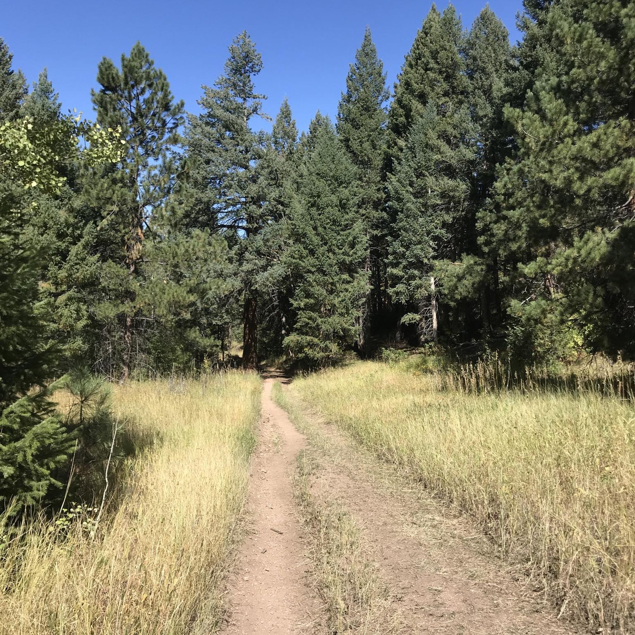
Embark on Colorado Trail: Segment 1 for a dynamic touring cycling experience that shifts from serene canyon views to rugged mountain singletrack. The initial miles through Waterton Canyon offer shaded paths alongside the South Platte River, where you might spot bighorn sheep. Beyond the Waterton Dam, the route quickly becomes a technical challenge with steep, rocky singletrack and sections requiring you to push your bike, making it a true test for bikepackers.
This moderate 14.4-mile (23.1 km) route with 1058 feet (322 metres) of elevation gain typically takes around 2 hours and 16 minutes to complete. The Waterton Canyon Trailhead is a popular access point, but be aware that dogs and e-bikes are not permitted in the canyon. Arriving early, especially on weekends, is a good idea to secure parking, and remember that water sources are scarce after the dam, so plan accordingly.
Colorado Trail: Segment 1 is a heavily trafficked section of the iconic Colorado Trail, connecting Waterton Canyon to the Gudy Gaskil Bridge. It's known for its significant change in terrain, transitioning from smooth gravel to demanding singletrack. This segment is a popular choice for mountain bikers and connects to other routes like the High Line Canal Trail, offering varied options for exploring the region.
4.9
(10)
315
riders
21.3km
02:01
260m
260m
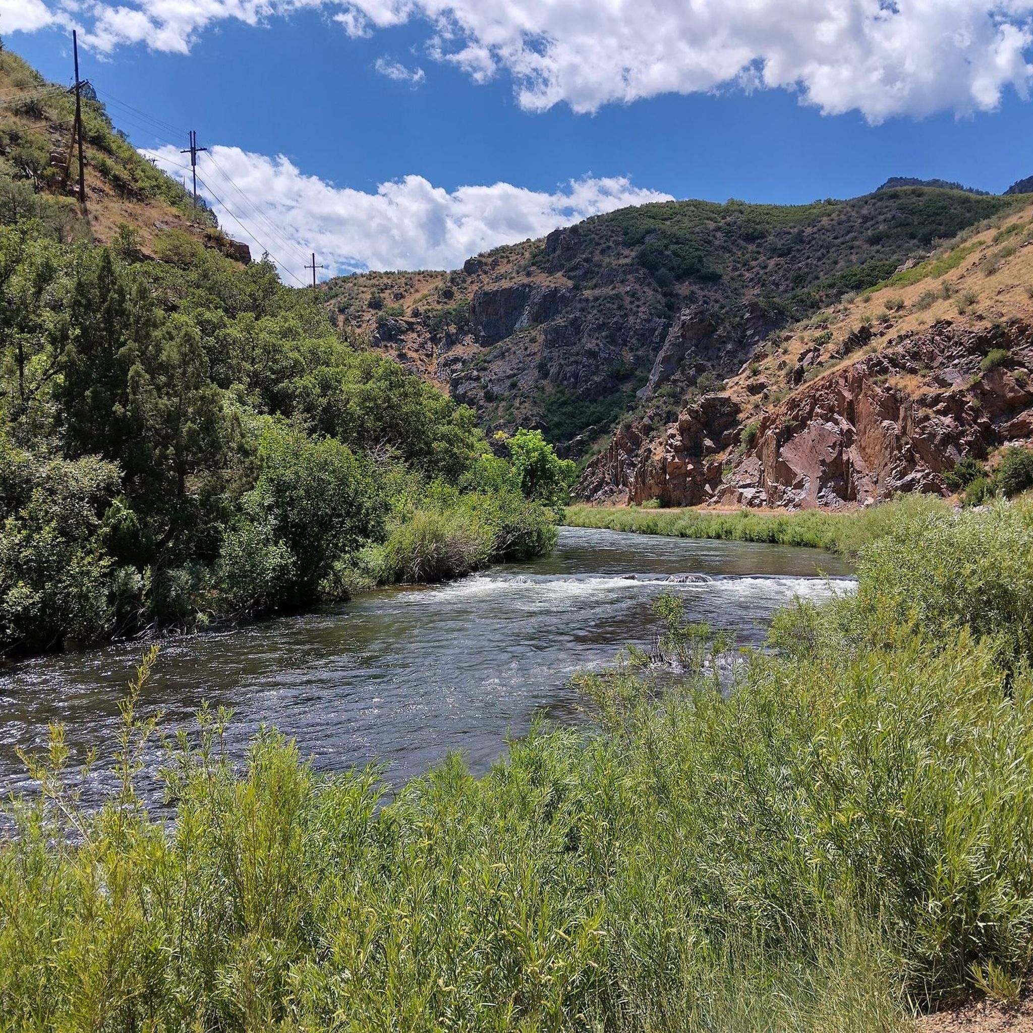
The Colorado Trail: Waterton Canyon offers a scenic touring cycling experience along the South Platte River, winding through a beautiful canyon with dramatic rock formations and lush river views. This route is particularly notable for its wide, hard-packed dirt road, making it accessible for a variety of cyclists, including families. You'll pass the official Start of the Colorado Trail and ride towards the Strontia Springs Dam, enjoying a peaceful, traffic-free environment.
Planning your visit is straightforward, with parking available at the trailhead, though arriving early on busy days is recommended. The trail is a moderate 13.3-mile (21.3 km) out-and-back, with 841 feet (256 metres) of elevation gain, typically taking around 2 hours and 1 minute. Remember that dogs are not permitted on this trail due to the abundant wildlife.
This trail is a rich wildlife corridor, offering frequent opportunities to spot bighorn sheep, mule deer, and over 40 species of birds. It serves as the northern terminus of the nearly 500-mile Colorado Trail, making it a significant gateway for long-distance adventurers. The path also provides educational information about Denver Water's operations at the Strontia Springs Dam, highlighting its role in the region's water supply.

Sign up for free
7
riders
15.8km
01:16
110m
110m
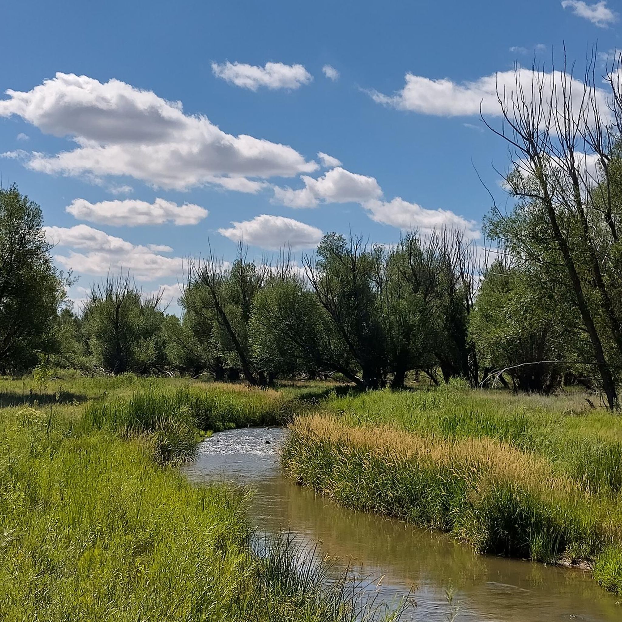
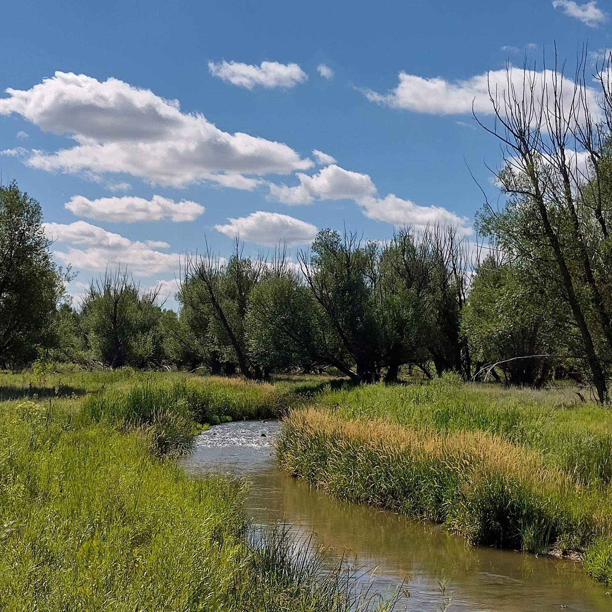
The Platte River and Cigar Pond Trail Loop offers a delightful touring cycling experience, winding through a blend of paved and compacted gravel paths. You'll pedal alongside the South Platte River, enjoying serene wetland scenery and keeping an eye out for abundant wildlife, particularly around Cigar Pond. The route provides a refreshing journey through natural preserves, offering a peaceful escape from urban bustle.
This easy 9.8-mile (15.8 km) loop, with a modest 350 feet (107 metres) of elevation gain, typically takes about 1 hour and 15 minutes to complete. It's an ideal option for beginner cyclists or families seeking a leisurely ride. Parking is available at various points around Chatfield State Park, and starting earlier in the day is recommended to avoid crowds, especially on weekends.
What makes this route stand out is its unique blend of urban connectivity and natural beauty, traversing an extensive network of trails along the South Platte River corridor. The area is rich in diverse ecosystems, with wetlands and riparian communities supporting various waterfowl and wildlife. It's a great way to experience the natural side of Douglas County, Colorado, without venturing too far off the beaten path.
5.0
(1)
2
riders
27.2km
01:50
200m
200m
Cycle the Chatfield Internal Trail & North Roxborough Park loop, a moderate 16.9-mile route with lake views and red sandstone formations.
4.9
(9)
288
riders
Moderate bike ride. Good fitness required. Mostly paved surfaces. Suitable for all skill levels.
Get access to more routes and recommendations from other explorers.
Sign up for free
Already have an account?
Our route recommendations are based on thousands of hikes, rides, and runs completed by other people on komoot.
Start today with a free account
Your next adventure awaits.
Login or Signup

Tips from the Community

Definitely go earlier in the day, less people walking and running. At the top by the dam if you keep going there will be some nice easy uphill then a more rocky path.
1
0

The "Waterton Canyon Recreation Area" trailhead sign here marks the Colorado Trail's Northern Terminus. It's a photo opportunity for thru-hikers continuing all the way south to Durango, a journey that stretches almost 500 miles.
0
0

The Chatfield Reservoir is a 1,423-acre lake in Chatfield State Park. There is a hiking path that runs alongside the water.
0
0
This is the trail head for segment 1 of the Colorado Trail. There is a vault toilet and parking at the trail head.
0
0

This is the most fun part, too bushy at the sides of the narrow single path. Stay more alert.
1
0
Chatfield Reservoir offers opertunity for fun activities like boating, biking, fishing, camping, and hiking. Established in the 1970s for flood control, the lake is now home to animals like deer and bald eagles. Chatfield Reservoir is water storage facility for the Denver area and features a marina for boaters.
0
0

The Chatfield Internal Trail gets right up next to the 1,423-acre lake. The majority of the trail is on dirt and gravel, but there is a tiny section of pavement when you get close to the main observation deck.
1
0
Chatfield State Park is a 5,300-acre park featuring a 1,400-acre reservoir. There are a bunch of different trails, ponds, and natural areas to check out while you bike around the park. Some trails are rougher than others, but you can usually tell when you are turning onto a rough singletrack path versus a smoother gravel path.
0
0
Frequently Asked Questions
What types of touring cycling routes can I find around Sterling Ranch?
Sterling Ranch offers a diverse range of touring cycling routes, from easy paved paths suitable for leisurely rides to more challenging unpaved dirt roads and singletrack. The area features extensive trail networks, including connections to major routes like the Colorado Trail and Waterton Canyon Trail, catering to various skill levels and preferences.
How many touring cycling routes are available in the Sterling Ranch area?
There are nearly 90 touring cycling routes recorded around Sterling Ranch on komoot, offering a wide variety of options. These include approximately 36 easy routes, 37 moderate routes, and 16 more difficult paths, ensuring there's something for every touring cyclist.
Are there any family-friendly touring cycling routes near Sterling Ranch?
Yes, Sterling Ranch has several family-friendly options. The Platte River and Cigar Pond Trail Loop, for instance, is an easy 9.8-mile route through Chatfield State Park, ideal for a relaxed family outing. The community's internal trails and many paths within Chatfield State Park are generally suitable for all ages and fitness levels.
What natural features and landmarks can I see along the touring cycling routes?
The routes around Sterling Ranch offer stunning natural scenery. You can explore the dramatic red rock formations of Roxborough State Park, the expansive waters of Chatfield Reservoir, and the scenic banks of the South Platte River. Many trails also provide views of the Rocky Mountain foothills and pass through significant open spaces dedicated to wildlife preservation.
Are there any circular touring cycling routes in the area?
Yes, many routes around Sterling Ranch are designed as loops, allowing you to start and end at the same point. A popular example is the Platte River and Cigar Pond Trail Loop. Another option is the Strontia Springs Dam – Start of the Colorado Trail loop, which offers a moderate 18.4-mile ride.
What is the best time of year for touring cycling around Sterling Ranch?
The best time for touring cycling around Sterling Ranch is generally during the spring, summer, and fall months when the weather is mild and trails are clear. While some trails may be accessible in winter, conditions can vary, with potential for snow and ice, especially on unpaved sections or at higher elevations. Always check local weather and trail conditions before heading out.
What kind of wildlife might I encounter on the trails?
The Sterling Ranch area is rich in wildlife due to its extensive open spaces and proximity to state parks. Cyclists often spot deer, various bird species including bald eagles near Chatfield State Park, and occasionally even black bears or mule deer in areas like Roxborough State Park. Maintaining a respectful distance and being aware of your surroundings is always recommended.
Is parking available at the trailheads?
Yes, parking is generally available at major trailheads and access points around Sterling Ranch. For routes like the Waterton Canyon Trail, designated parking areas are provided. When visiting state parks like Chatfield or Roxborough, there are usually ample parking facilities, though fees may apply for park entry.
What do other touring cyclists enjoy most about the routes in Sterling Ranch?
The touring cycling routes around Sterling Ranch are highly rated by the komoot community, with an average score of 4.5 stars from nearly 100 reviews. Cyclists often praise the diverse terrain, from smooth paved paths to scenic dirt roads, and the stunning natural beauty, including canyon views and red rock formations. The extensive network of trails and connections to major routes are also frequently highlighted.
Are there any challenging touring cycling routes for experienced riders?
Absolutely. While there are many easy and moderate options, experienced touring cyclists can find more challenging routes. For example, Colorado Trail: Segment 1 offers a moderate 14.4-mile path through Pike National Forest with significant elevation changes, requiring good fitness. Some unpaved sections and singletrack trails also provide a more demanding experience.
Can I connect to major long-distance cycling routes from Sterling Ranch?
Yes, Sterling Ranch serves as an excellent gateway to major cycling routes. The Colorado Trail: Waterton Canyon is a notable connection, extending for 13.3 miles through a scenic canyon and serving as the start of the Colorado Trail itself. The area also provides access to segments of the Highline Canal Trail and the South Platte River Trail.
Most popular attractions around Sterling Ranch

Get inspired with the komoot mobile app


Explore more
Browse the best Cycling routes in other regions.
