The best running trails around Cattle Creek
144
runners
20
runs
Jogging routes around Cattle Creek navigate a diverse landscape, featuring varied elevations and natural formations. The region includes trails that ascend hills, offering panoramic views, alongside paths that traverse more open ranchland. Some running routes follow river corridors, providing flatter sections. This mix of terrain ensures a range of experiences for runners.
Best jogging routes around Cattle Creek
- The most popular jogging route is Mushroom Rock loop, a 4.4 miles (7.2 km) trail that takes 56 minutes to complete. This moderate route features significant elevation gain, passing distinctive rock formations.
- Another top favourite among local runners is Boy Scout Loop, a difficult 7.1 miles (11.4 km) path. This running route includes substantial climbs, offering a challenging experience through varied terrain.
- Local runners also love the Sutey Ranch loop, a 8.1 miles (13.0 km) trail leading through open ranchland, often completed in about 1 hour 36 minutes.
- Jogging around Cattle Creek is defined by varied elevations, open ranchland, and river-side paths. The network offers options for easy, moderate, and difficult running routes, catering to different ability levels.
- The guide includes highly-rated routes that showcase the best of the region's landscape. More than 100 runners have used komoot to explore Cattle Creek's varied terrain.
Last updated: July 6, 2026
23
runners
7.16km
00:57
260m
260m
Moderate run. Good fitness required. Mostly paved surfaces. Suitable for all skill levels.
5
runners
13.0km
01:36
230m
230m
Moderate run. Good fitness required. Mostly paved surfaces. Suitable for all skill levels.

Sign up for free
6
runners
11.4km
01:34
400m
400m
Hard run. Very good fitness required. Mostly accessible paths. Some sure footedness required.
14
runners
Moderate run. Good fitness required. Mostly paved surfaces. Suitable for all skill levels.
9
runners
5.54km
00:35
40m
40m
Moderate run. Good fitness required. Mostly paved surfaces. Suitable for all skill levels.
Get access to more routes and recommendations from other explorers.
Sign up for free
Already have an account?
Our route recommendations are based on thousands of hikes, rides, and runs completed by other people on komoot.
Start today with a free account
Your next adventure awaits.
Login or Signup


Tips from the Community

From this pedestrian bridge, you can enjoy a view above the Roaring Fork River. Here is the connection between the Rio Grande Trail and the Atkinson Canal Trail. This is an easy walk/bike trail that runs alongside the river. Rio Grande Trail connects Glenwood Springs to Aspen, so you can choose your distance and go for as long as you like.
0
0
From this pedestrian bridge, you can enjoy a view above the Roaring Fork River. Here is the connection between the Rio Grande Trail and the Atkinson Canal Trail. This is an easy walk/bike trail that runs alongside the river. Rio Grande Trail connects Glenwood Springs to Aspen, so you can choose your distance and walk for as long as you like.
0
0

This trail runs along the upper canyon ridge and offers incredible views down to the Roaring Fork River and hamlets north of Carbondale. You will cross a bunch of little streams. There is a trail that parallels this one lower down the valley.
0
0
This trail is fantastic for connecting the Sutey Ranch Trail system, which is mostly flat farmland, with the Red Hill trail system into Carbondale.
0
0
There is a massive gravel parking lot here with access to numerous nontechnical flat single and doubletrack trails. The northside loop is shaded.
0
0
This is a great place to park to access the bike path along the Colorado River through Glenwood Canyon. There are restrooms, river access, and shaded green space at the park.
0
0
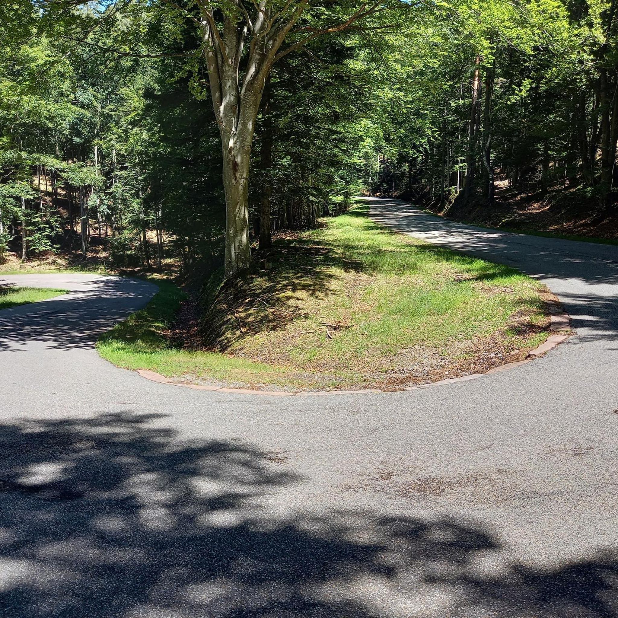
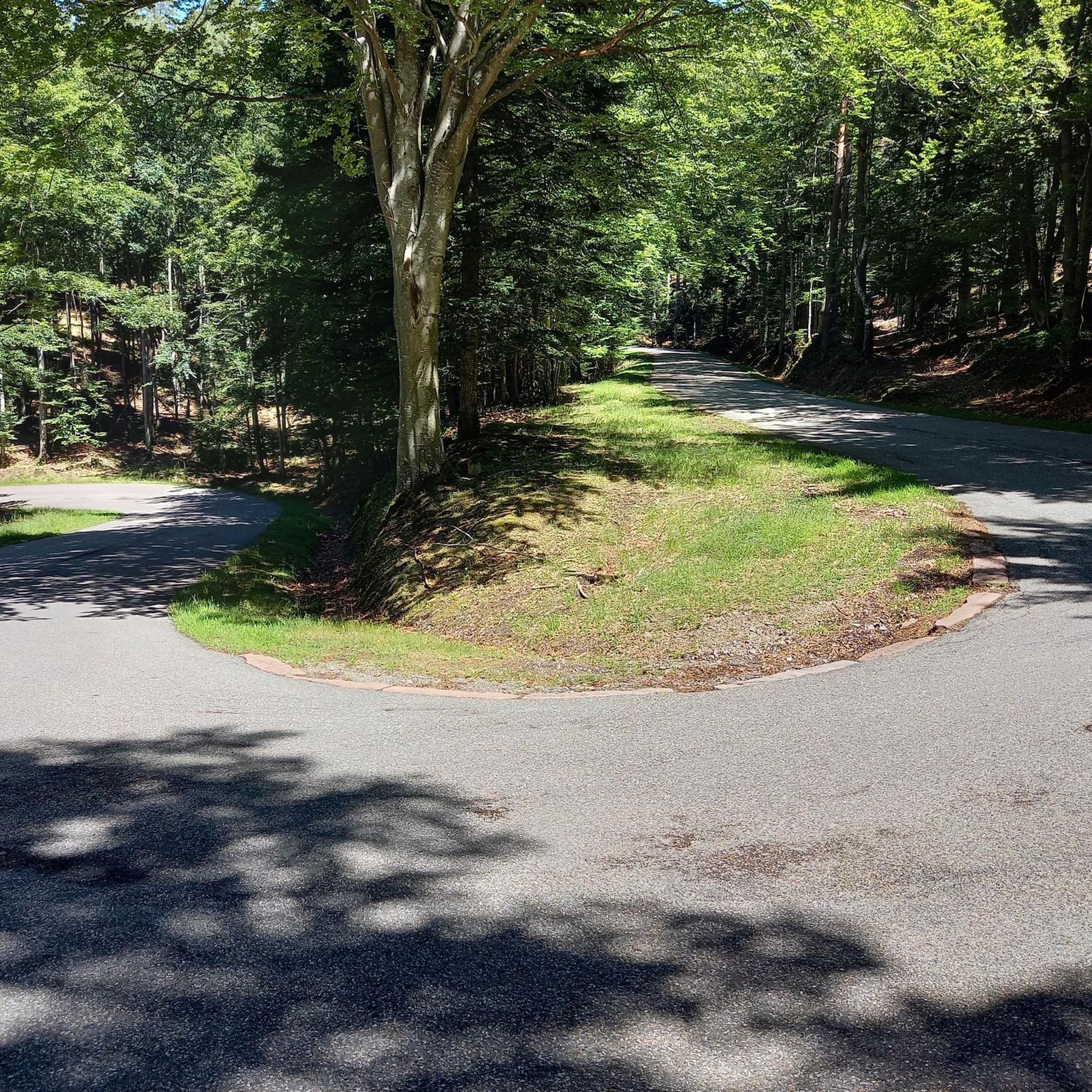
There is lots of parking at this popular trailhead. The trail is loose red earth and gets steep at times. You run through relatively sparse tree cover with fantastic views over Carbondale and Mount Sopris.
0
0
Frequently Asked Questions
How many running routes are available in the Cattle Creek area?
Cattle Creek offers a diverse selection of over 20 running routes. These range from easy paths to more challenging trails, catering to various fitness levels and preferences.
Are there any easy jogging routes suitable for beginners in Cattle Creek?
Yes, Cattle Creek has several easy running routes perfect for beginners or those looking for a less strenuous jog. While specific easy routes aren't detailed here, the region's network includes options with minimal elevation gain.
What kind of terrain can I expect on jogging trails around Cattle Creek?
Jogging routes in Cattle Creek feature a varied landscape. You'll find trails that ascend hills, offering panoramic views, paths traversing open ranchland, and sections that follow river corridors, providing flatter terrain. This mix ensures a dynamic running experience.
Are there any loop running trails in Cattle Creek?
Yes, many of the running routes in Cattle Creek are loops. For example, the Mushroom Rock loop is a popular moderate option, and the Sutey Ranch loop offers a longer, moderate experience through open ranchland.
What are some challenging running routes for experienced runners in Cattle Creek?
For experienced runners seeking a challenge, Cattle Creek offers several difficult routes. The Boy Scout Loop is a difficult 7.1-mile path with substantial climbs, and the Red Hill & Elk Traverse loop also presents a demanding experience with significant elevation changes.
Are there any long-distance running options in Cattle Creek?
Absolutely. For those looking for longer distances, the Rio Grande Trail is a notable option, stretching nearly 20 kilometers. While it has minimal elevation gain, its length provides a substantial endurance challenge.
What interesting sights or landmarks can I see while running in Cattle Creek?
The Cattle Creek area is rich with points of interest. You can encounter natural formations like Mushroom Rock, historical sites such as the Pioneer Cemetery/Doc Holliday Grave, and scenic spots like the Satank Bridge or views of the Colorado River.
What do other runners say about the jogging routes in Cattle Creek?
The running routes in Cattle Creek are well-regarded by the komoot community. Over 100 runners have explored the varied terrain, often praising the diverse landscapes, from challenging climbs to serene river-side paths, and the overall quality of the trails.
Are there any running routes that pass through open ranchland?
Yes, the region features routes that traverse open ranchland. The Sutey Ranch loop is a prime example, offering a running experience through this characteristic Cattle Creek landscape.
Is Cattle Creek a good destination for trail running?
Cattle Creek is an excellent destination for trail running. Its diverse landscape, featuring varied elevations, natural formations, and a mix of challenging and moderate paths, provides a rich and engaging experience for trail runners of all levels.
What is the typical duration for a running route in Cattle Creek?
Running durations vary significantly depending on the route's length and difficulty. For instance, the Mushroom Rock loop typically takes about 56 minutes, while the longer Sutey Ranch loop can take around 1 hour 36 minutes.
Can I find routes with significant elevation gain in Cattle Creek?
Yes, Cattle Creek is known for its routes with significant elevation gain, offering challenging climbs and rewarding views. The Boy Scout Loop, for example, features over 500 meters of ascent, providing a strenuous workout.
Most popular attractions around Cattle Creek

Get inspired with the komoot mobile app


Explore more
Browse the best Running Trails & Routes in other regions.
