The best walks and hikes around Cattle Creek
4.6
(8)
127
hikers
14
hikes
Hikes around Cattle Creek are set within Colorado's Roaring Fork Valley, part of the expansive White River National Forest. The region's terrain is characterized by singletrack trails that wind through aspen groves, open meadows, and patches of spruce and fir. Routes range from short, accessible paths to more demanding climbs on the surrounding hills, offering varied options for hikers.
Best hiking trails around Cattle Creek
- The most popular hiking route is Glenwood Springs Scout Trail – Glenwood Springs, Colorado,…
Last updated: June 25, 2026
2
hikers
5.21km
01:29
110m
130m
The Northside Access Trail offers an easy hike through pinyon-juniper forested hills, providing an immersive experience in nature. You will navigate a mostly narrow singletrack path, encountering a mix of…
4.94km
01:18
60m
10m
The Rio Grande Trail offers a pleasant hiking experience along the Roaring Fork River, providing continuous river views and a tranquil atmosphere. This easy 3.1-mile (4.9 km) section involves a…

Sign up for free
7.30km
01:52
10m
50m
Embark on an easy hike along the Rio Grande Trail, a scenic route spanning 4.5 miles (7.3 km) with a gentle elevation gain of just 45 feet (14 metres). You…
4.8
(6)
37
hikers
11.2km
03:40
490m
490m
The Forest Hollow and Boy Scout Loop offers a dynamic hiking experience near Glenwood Springs, combining a steady climb through dense forest with an exhilarating descent. You'll traverse varied terrain,…
5.0
(1)
22
hikers
4.34km
01:31
250m
250m
Hike the Red Hill via Blue Ribbon and Three Gulch Trail for moderate difficulty, red-rock scenery, and views of Mt. Sopris near Carbondale.
Get access to more routes and recommendations from other explorers.
Sign up for free
Already have an account?
Our route recommendations are based on thousands of hikes, rides, and runs completed by other people on komoot.
Start today with a free account
Your next adventure awaits.
Login or Signup

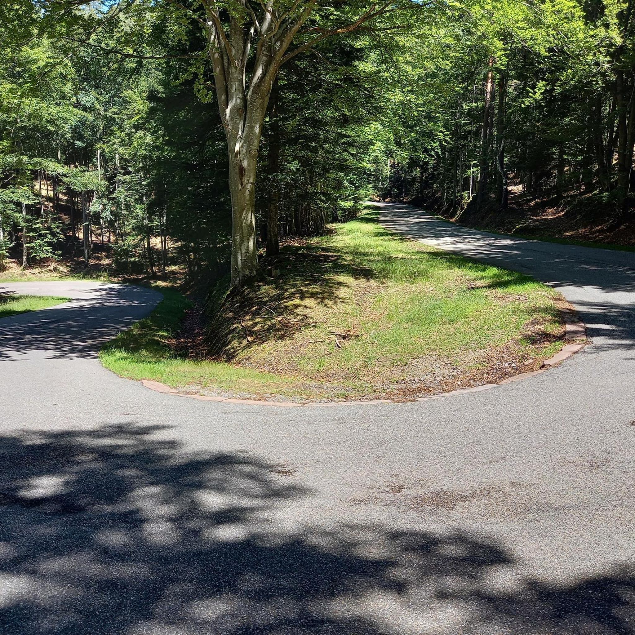
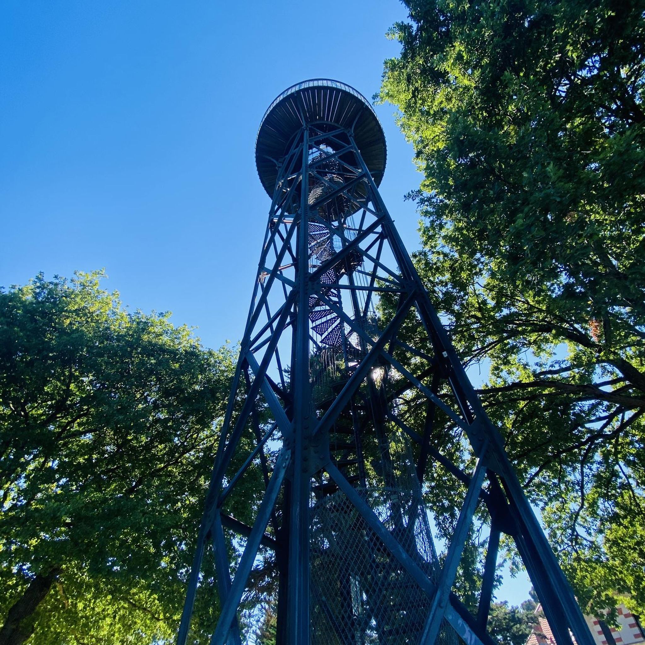

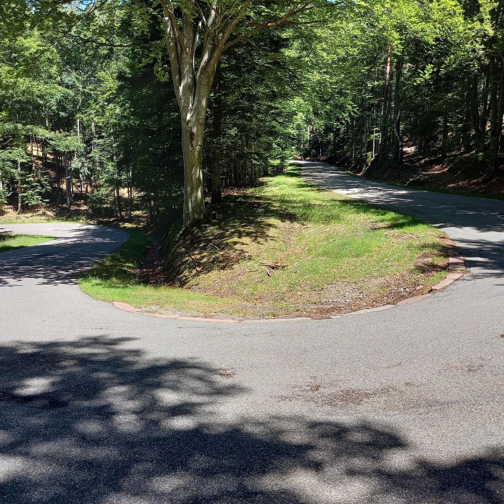
Tips from the Community

Satank Bridge spans the Roaring Fork River and was constructed in a style to resemble the period of wagon bridges. On the bridge, you have a view up the Elk Scenic Corridor and a backdrop of majestic Mount Sopris. The bridge is also called "pink bridge" due to the pink hue it takes at sunset.
0
0

There is a massive gravel parking lot here with access to numerous nontechnical flat single and doubletrack trails. The northside loop is shaded.
0
0

The Glenwood Springs Scout Trail leads you along the Colorado River, with great views of the canyon. There are options to shorten your run with connecting paths
0
0
This scenic loop trail is close to the town of Carbondale. You run through beautiful red rocks, juniper pines and shrubs. If the weather is clear, you can see the towering mountains of the Maroon Bells-Snowmass Wilderness in the distance.
0
0

Carbondale is a picturesque town located at the base of Mt. Sopris and confluence of the Crystal and Roaring Fork Rivers. National Geographic Adventure Magazine has ranked it as one of "The Top 10 Adventure Towns in the U.S.", so there is no shortage of outdoor activities. It is also a "Certified Colorado Creative District", so it has a vibrant art scene as well.
0
0
Carbondale is a picturesque town located at the base of Mt. Sopris and confluence of the Crystal and Roaring Fork Rivers. National Geographic Adventure Magazine has ranked it as one of "The Top 10 Adventure Towns in the U.S.", so there is no shortage of outdoor activities. It is also a "Certified Colorado Creative District", so it has a vibrant art scene as well.
0
0
Take a hike through the hills just next to Glenwood Springs. The Glenwood Springs Scout Trail leads you along the Colorado River, with great views of the canyon. There are options to shorten your stroll if you feel tired or if you are running out of time.
3
0
Along this scenic loop trail close to the town of Carbondale, you hike through beautiful red rocks, juniper pines and shrubs. If the weather is clear, you can see the towering mountains of the Maroon Bells-Snowmass Wilderness in the distance.
3
0
Frequently Asked Questions
Are there any easy, family-friendly hikes in the Cattle Creek area?
Yes, there are several options suitable for families. For a very short and accessible walk with a historical element, the Doc Holliday Grave Trail – Glenwood Springs, Colorado is a great choice. It's less than two miles and leads through a historic cemetery.
Can I bring my dog on the trails around Cattle Creek?
Many trails in the White River National Forest are dog-friendly, but they must be kept under control or on a leash, especially as this is an active wildlife area and may have grazing cattle. Always check specific trail regulations before you go and be prepared to clean up after your pet.
Are there any good circular or loop hikes?
Absolutely. If you're looking for a moderately challenging loop, the Sutey Ranch loop — Carbondale, Colorado is an excellent option that takes you through the area's characteristic open landscapes.
What is the landscape like on the hiking trails?
The trails around Cattle Creek offer a classic Colorado experience. You can expect to hike on singletrack paths that wind through beautiful aspen groves, open meadows perfect for spotting wildflowers in season, and patches of spruce and fir trees. The terrain varies from gentle river valleys to steeper climbs into the hills.
How do I get to the trailheads and is there parking?
Most trailheads in the Cattle Creek area are accessible by car. Parking is available at or near the start of most popular trails, but lots can fill up quickly, especially on weekends. It's always a good idea to arrive early to secure a spot. Public transport options are limited, so a private vehicle is recommended.
What should I pack for a day hike in Cattle Creek?
It's wise to be prepared for changing mountain weather. Essential items include plenty of water, snacks, sunscreen, and layered clothing. A waterproof jacket is recommended as afternoon showers can be common. Due to the network of trails and cattle paths, carrying a map or using a GPS app like komoot is highly advisable to stay on your intended route.
Are there trails with good scenic viewpoints?
Many trails in the region reward hikers with stunning views. For a route known for its rewarding vistas over the surrounding landscape, consider the Mushroom Rock and Red Hill – Red Hill Special Recreation Management Area trail. The ascents on many local hikes lead to panoramic views of the Roaring Fork Valley and surrounding peaks.
Can I go hiking in Cattle Creek during the winter?
Yes, winter hiking and snowshoeing are popular activities in the area. Lower elevation trails may be accessible with traction devices like microspikes, while higher elevation routes become excellent for snowshoeing after a good snowfall. Always check trail conditions and avalanche forecasts before heading out in winter.
What kind of wildlife might I see?
The Cattle Creek area is an important wildlife habitat. It's common to spot mule deer and various bird species. The region is also a key area for elk, particularly during their calving season in the spring, so it's important to keep your distance and not disturb the animals.
What do other hikers think of the trails around Cattle Creek?
The area is highly regarded by the komoot community, with an average rating of 4.9 stars. Hikers often praise the classic Colorado scenery, the mix of trails through aspen groves and open meadows, and the rewarding views from the hilltops.
Is camping allowed near the hiking trails?
Yes, the trails are located within the White River National Forest, which offers numerous opportunities for camping. You can find several established campgrounds in the broader Roaring Fork Valley. For backcountry camping, be sure to follow all national forest regulations regarding site selection and campfires.
Most popular attractions around Cattle Creek

Get inspired with the komoot mobile app


Explore more
Browse the best Hikes in other regions.
