The best road cycling routes around Bow Mar
4.6
(80)
5,018
riders
93
rides
Road cycling routes around Bow Mar connect to an extensive network of paved regional trails within the Denver metropolitan area. The terrain is generally flat, featuring multi-use pathways along river corridors and past lakes. This area offers access to diverse landscapes, from tranquil lakeside views to riparian environments, with distant views of the Rocky Mountains.
Best road cycling routes around Bow Mar
- The most popular road cycling route is Bear Creek, C-470 and Mary Carter Greenway Loop, a 31.8…
Last updated: July 8, 2026
4.7
(7)
294
riders
51.2km
02:48
300m
300m
This 31.8-mile moderate road cycling loop in Denver offers diverse scenery along the Bear Creek, C-470, and Mary Carter Greenway trails.
4.5
(2)
5
riders
50.6km
02:33
370m
370m
This 31.5-mile moderate road cycling loop combines the C-470 Bikeway and Mary Carter Greenway, offering varied scenery and river views.

Sign up for free
4.3
(3)
114
riders
Moderate road ride. Good fitness required. Some segments of this route may be unpaved and difficult to ride.
5.0
(1)
90
riders
Easy road ride. Great for any fitness level. Mostly well-paved surfaces and easy to ride.
53
riders
91.5km
04:54
1,350m
1,350m
Hard road ride. Very good fitness required. Mostly well-paved surfaces and easy to ride.
Get access to more routes and recommendations from other explorers.
Sign up for free
Already have an account?
Our route recommendations are based on thousands of hikes, rides, and runs completed by other people on komoot.
Start today with a free account
Your next adventure awaits.
Login or Signup



Tips from the Community

Great stop on the Platte River Trail, good coffer, place to sit and relx
1
0

The South Platte River is one of the two main tributaries of the Platte River. The river starts in South Park and ends when it joins the North Platte River south of Ogallala, Nebraska.
0
0

The South Platte River, originating in the mountains of central Colorado at the Continental Divide, flows a total distance of about 439 miles. The river is a hot spot for outdoor activities like fishing, kayaking, and wildlife watching. It flows through urban areas and the backcountry.
0
0
Mann Reservoir has tall red rock features on the north-east side of the reservoir. The Swallow Trail will take visitors closest to the rock features. There is also parking on the north end of the reservoir.
0
0

Nixon's Coffee House is a nice spot to stop along the Mary Carter Greenway Trail to refill on water or use the restroom.
0
0

Redtail Lake is surrounded by a network of trails that offer views of the water, wildlife, and mountains. You can access the lake from the Mary Carter Greenway Trail, which runs along the South Platte River and connects to other trails in the park. Redtail Lake is a great place to enjoy nature and get some exercise in a peaceful setting.
2
0

The climb up South Deer Creek Canyon Road can get rough near the top, but you actually get a short downhill break at the very northern end. The views back towards town are great and there are plenty of pull-offs along the side of the road, so if you need to take a break, you'll have plenty of chances.
0
0

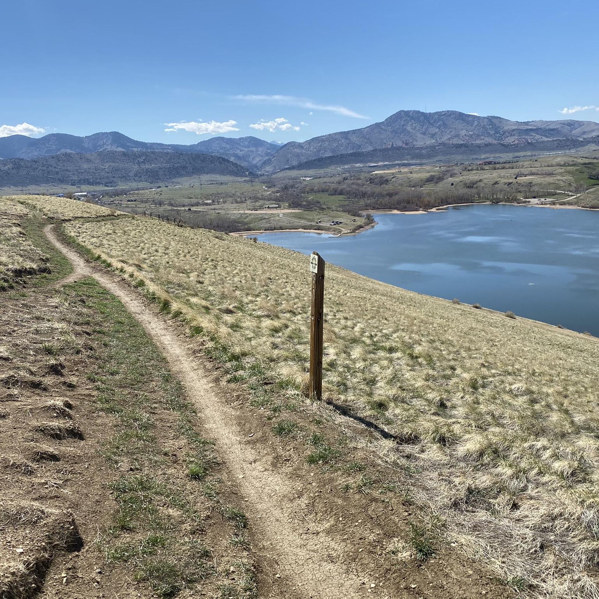
This lake features a pleasant beach area that provides stunning views of the mountains in the background of the water. You'll witness various water activities in the area and even have the option to rent equipment like paddleboards.
0
0
Frequently Asked Questions
How many road cycling routes are available around Bow Mar?
There are over 80 road cycling routes around Bow Mar, offering a wide range of options for different skill levels. You'll find 31 easy routes, 39 moderate routes, and 12 more challenging rides.
What is the typical terrain like for road cycling near Bow Mar?
The road cycling terrain near Bow Mar primarily consists of paved, multi-use pathways. These trails are generally flat, following river corridors like the South Platte River and passing by various lakes. You can expect tranquil lakeside views, riparian environments, and distant glimpses of the majestic Rocky Mountains.
What natural features or landmarks can I expect to see on road cycling routes near Bow Mar?
Road cycling routes in the Bow Mar area offer diverse scenery. You can ride along the South Platte River, pass by several lakes such as Bear Creek Lake, Big Soda Lake, and Chatfield Reservoir. The Marjorie Perry Nature Preserve is another notable point of interest along some routes.
Are there loop routes available for road cycling in Bow Mar?
Yes, many of the road cycling routes around Bow Mar are designed as loops, providing a convenient way to explore the area without retracing your path. Examples include the Bear Creek, C-470 and Mary Carter Greenway Loop and the C-470 and Mary Carter Greenway Loop.
What do other cyclists say about the road cycling routes in Bow Mar?
The road cycling routes around Bow Mar are highly regarded by the komoot community, holding an impressive average rating of 4.7 stars from over 57 reviews. Cyclists often praise the well-maintained paved paths, scenic views along the South Platte River, and the connectivity to a larger regional trail network.
Are the road cycling trails around Bow Mar family-friendly?
Yes, many of the paved, generally flat, multi-use trails around Bow Mar are suitable for families. The extensive network allows for rides of varying lengths, making it easy to find an option that fits different ages and abilities. Always check individual route details for specific difficulty and distance.
Can I bring my dog on the road cycling trails near Bow Mar?
Many multi-use trails in the Denver metropolitan area, including those accessible from Bow Mar, are dog-friendly, provided dogs are kept on a leash. However, specific rules can vary by park or trail section, such as within Cherry Creek State Park. It's always best to check local regulations for the specific trail you plan to ride.
Where can I park to access the road cycling routes around Bow Mar?
Parking is generally available at various access points along the major regional trails connected to Bow Mar, such as the Mary Carter Greenway Trail, Cherry Creek Trail, and South Platte River Trail. Look for designated parking lots near trailheads or parks that intersect with these routes.
How can I access the road cycling trails using public transport?
The Denver metropolitan area's RTD (Regional Transportation District) system provides access to many areas near the major bike trails. While direct access to every trailhead might vary, you can often use RTD bus routes to get close to key trail entry points for the Mary Carter Greenway Trail, Cherry Creek Trail, and South Platte River Trail.
What is the best time of year for road cycling in Bow Mar?
The typical road cycling season in the Denver area, including Bow Mar, generally runs from spring through fall. Mild temperatures and clear skies make these months ideal. While some trails may be accessible in winter, conditions can vary with snow and ice, so checking current weather and trail reports is advisable.
Are there places to stop for coffee or food near the trails?
Yes, given Bow Mar's excellent connectivity to nearby cities like Littleton and the broader Denver area, you'll find various cafes, restaurants, and breweries accessible from the regional trail network. Many establishments are located conveniently close to major trails like the Mary Carter Greenway Trail and Cherry Creek Trail.
Are there any challenging road cycling routes for experienced riders?
While many routes are generally flat, there are options for more experienced riders seeking a challenge. For instance, the Big Soda Lake – Red Rocks Park Scenic Road loop from John Fitzgerald Kennedy High School is a difficult 56.9-mile (91.5 km) route with significant elevation gain, offering a more demanding ride and views towards the foothills.
Most popular attractions around Bow Mar

Get inspired with the komoot mobile app


Explore more
Browse the best Road cycling routes in other regions.
