The best running trails around Tara Hills
5.0
(8)
295
runners
23
runs
Jogging routes around Tara Hills provide diverse terrain for outdoor activities. The region features rolling hills and open pastures, particularly within areas like Wildcat Canyon Regional Park. Additionally, flatter, waterfront paths along the San Pablo Bay shoreline offer scenic bay views. Runners can also explore paths through eucalyptus groves, catering to various fitness levels.
Best jogging routes around Tara Hills
- The most popular jogging route is Point Pinole Bay View Loop, a 4.8 miles (7.8 km) trail that takes…
Last updated: October 12, 2026
25
runners
7.77km
00:49
40m
40m
The Point Pinole Bay View Loop offers a refreshing jogging experience along the San Pablo Bay shoreline, where you'll traverse open grasslands, marshland, and fragrant eucalyptus groves. Keep an eye…
3
runners
6.21km
00:39
80m
80m
The Refugio Lake via Lupine Road loop offers a wonderfully serene jogging experience, winding through well-maintained paths and bike paths within Refugio Valley Park. You'll enjoy the tranquil ambiance of…

3.08km
00:19
10m
10m
Easy 1.9-mile jogging loop on the San Francisco Bay Trail at Lone Tree Point, offering paved paths and bay views.
5.0
(7)
11
runners
8.35km
00:52
50m
50m
Moderate run. Good fitness required. Mostly paved surfaces. Suitable for all skill levels.
5.0
(1)
10
runners
4.58km
00:28
20m
20m
Easy run. Great for any fitness level. Mostly paved surfaces. Suitable for all skill levels.
Get access to more routes and recommendations from other explorers.
Already have an account?
Our route recommendations are based on thousands of hikes, rides, and runs completed by other people on komoot.
Start today with a free account
Your next adventure awaits.

Tips from the Community

Concrete fishing pier with excellent views across the bay. It juts out into the Carquinez Strait, with a fish cleaning station at the halfway point.
0
0

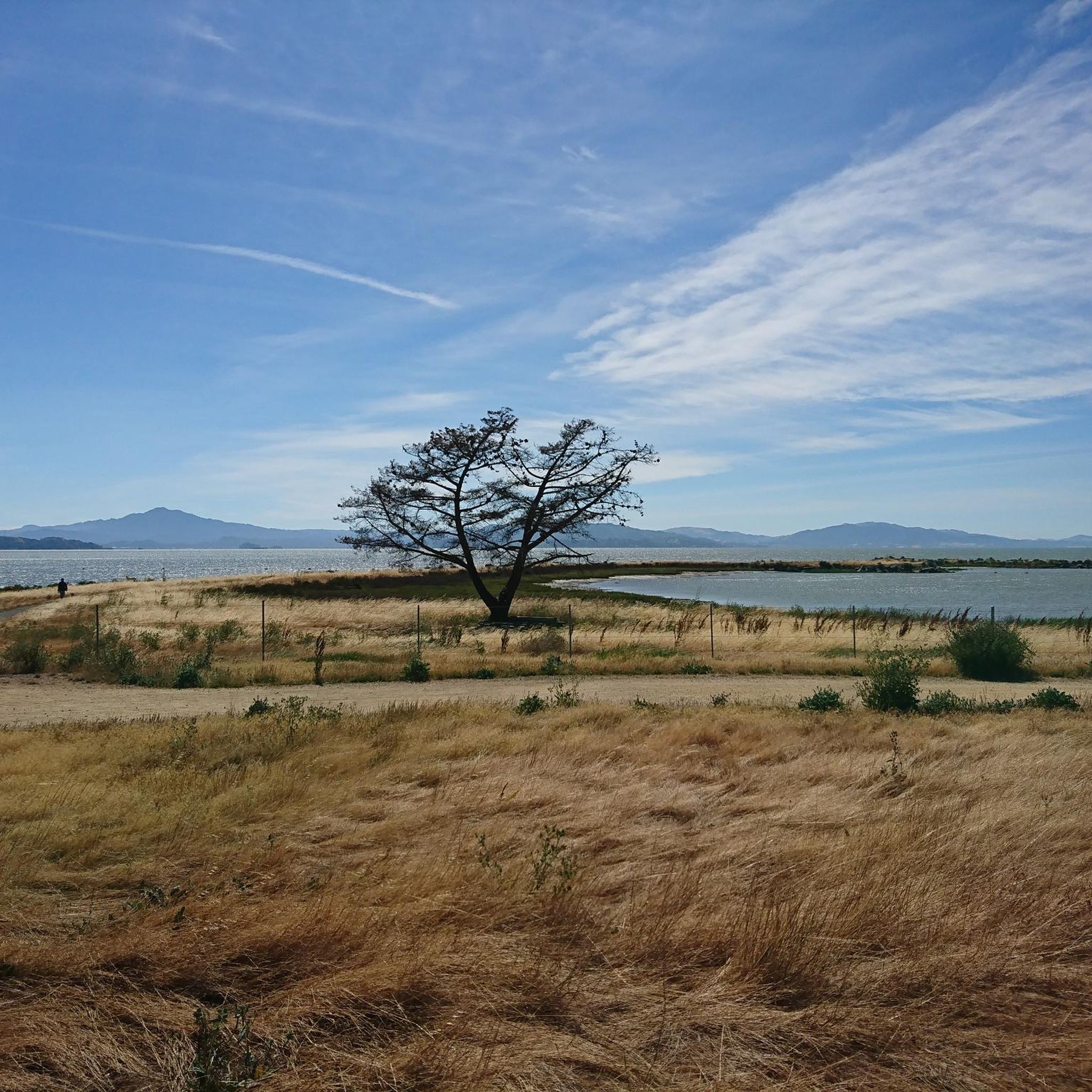
Shoreline Park, nestled along the San Francisco Bay Trail, offers a captivating panorama of the San Pablo Bay. Situated right on the waterfront, this park provides an ideal vantage point to appreciate the stunning views of the bay.
0
0
Refugio Lake invites with its serene ambiance—a spacious pond adorned with two graceful fountains. Delight in the picturesque sight of mallard ducks gracefully paddling across the tranquil waters, accompanied by the occasional presence of elegant white geese.
0
0

This pier is a highlight of Point Pinole Shoreline Regional Park. Fishing off the pier is good (check local regulations), and there's a blue gum eucalyptus forest nearby.
1
0
Long concrete fishing pier jutting out into the Carquinez Strait, with a fish cleaning station and great views.
0
0
Well manicured community park with less well maintained trails leading along the shoreline in both directions
0
0
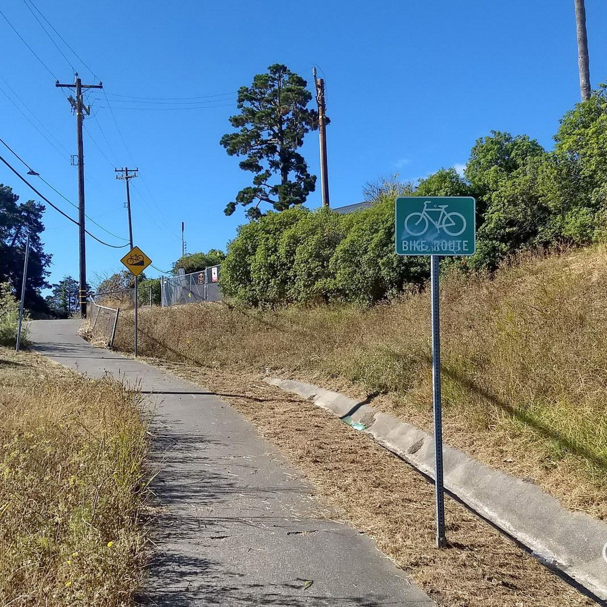
Rebuilt bridge connection on the Bay Trail between the towns of Pinole and Hercules.
0
0

A mostly mud bottom which is normal in this part of San Pablo Bay. The shoreline is rocky and culminates in the point for which the park is named. (Which seems ideal conditions for jacksmelt.) The pilings themselves are concrete with little growth but off to the right of the pier are a number of older dilapidated pilings which will attract perch in the winter and spring, although admittedly only the inshore pilings are within casting distance. Water here can be more brackish than farther south and the point extends out into water which is crossed by several species of anadromous fish as they journey to and from the ocean and the inland rivers. Thus, here you can see such anadromous fish as king salmon, steelhead trout, striped bass, shad, white sturgeon and even green sturgeon. All of these may be caught as they cross the area but only the striped bass and sturgeon are caught in an appreciable number. More common are the white croaker (kingfish), perch, flounder, sole, jacksmelt, topsmelt, skates, sharks and bat rays.
0
0
Frequently Asked Questions
How many running routes can I find in the Tara Hills area?
The Tara Hills region offers a diverse selection of over 20 running routes, catering to various preferences and fitness levels. These trails are highly rated by the komoot community, with an average score of 5.0 stars.
Are there easy running routes suitable for beginners or casual joggers in Tara Hills?
Yes, Tara Hills provides several easy running options. For instance, the Shoreline Park loop from Hercules is an easy 4.5 km route. The area generally features flatter, paved paths along the San Pablo Bay shoreline, which are ideal for a relaxed jog.
What kind of terrain can I expect on the jogging trails around Tara Hills?
Jogging routes in Tara Hills, California, offer varied terrain. You'll find rolling hills and open pastures, particularly within areas like Wildcat Canyon Regional Park. There are also flatter, waterfront paths along the San Pablo Bay shoreline, and some trails lead through eucalyptus groves. This mix provides options from paved surfaces to more rugged fire roads.
Are there any running routes with scenic views in Tara Hills?
Absolutely! Many routes offer beautiful vistas. The Point Pinole Bay View Loop is a popular choice, providing scenic bay views. You can also enjoy panoramic views from higher points within the rolling hills, especially in areas like Wildcat Canyon Regional Park.
Can I find circular running routes in Tara Hills?
Yes, many of the running paths in Tara Hills are designed as loops, allowing you to start and finish at the same point. For example, the Running loop from Point Pinole Regional Shoreline is a moderate 10.5 km circular path, and the San Pablo Bay View – Bay View Trail 🌊 Lookout loop from Point Pinole Regional Shoreline is another great option.
Are the jogging trails in Tara Hills suitable for families?
Yes, Tara Hills offers family-friendly jogging opportunities, especially on the flatter, paved sections along the San Pablo Bay shoreline. These paths are generally accessible and suitable for various skill levels, making them a good choice for families looking to enjoy the outdoors together.
Are dogs allowed on the running trails in Tara Hills?
While specific regulations can vary by park or trail, many outdoor areas in California, including regional parks like those near Tara Hills, often permit dogs on trails, usually on a leash. It's always best to check the specific rules for the park or trail you plan to visit, such as Point Pinole Regional Shoreline or Wildcat Canyon Regional Park, to ensure a dog-friendly experience.
What kind of landmarks or points of interest can I see along the running routes?
Along your runs in Tara Hills, you can encounter various points of interest. Near the trails, you might find natural monuments like the Albany-North Berkeley Kiwanis Club Tree Grove or the World Peace Grove ☮️. There are also viewpoints such as the 360-degree viewpoint, and natural features like Jewel Lake and the Dotson Family Marsh.
Is there parking available near the jogging routes in Tara Hills?
Yes, many popular jogging areas in Tara Hills, such as Point Pinole Regional Shoreline and Wildcat Canyon Regional Park, offer designated parking facilities. It's advisable to check specific park websites for details on parking availability and any potential fees before your visit.
How can I access the Tara Hills running routes using public transport?
Public transport options to access the Tara Hills running routes vary depending on your starting point. Areas like Point Pinole Regional Shoreline are often accessible via local bus services. For detailed public transport information, it's recommended to consult local transit authority websites for routes and schedules to specific park entrances.
What do other runners enjoy most about jogging in Tara Hills?
The running routes in Tara Hills are highly rated by the komoot community, with an average score of 5.0 stars from over 100 runners. Reviewers often praise the diverse terrain, from scenic bay views to rolling hills, and the variety of paths suitable for different fitness levels. The accessibility and natural beauty of the area are frequently highlighted.
Are there any moderate running challenges in Tara Hills?
Yes, for those seeking a moderate challenge, Tara Hills offers several routes with some elevation gain. The San Pablo Bay View – Owl Alley Trail loop from Point Pinole Regional Shoreline is a moderate 5 km route. Wildcat Canyon Regional Park also features popular routes like the San Pablo Ridge Trail, which provides more significant ascents and varied terrain.
Most popular routes around Tara Hills
Most popular attractions around Tara Hills

Get inspired with the komoot mobile app


Explore more
Browse the best Running Trails & Routes in other regions.
