The best walks and hikes around Tara Hills
4.3
(18)
281
hikers
50
hikes
Hiking around Tara Hills offers access to varied landscapes in adjacent regional parks. The region features rolling hills with open pastures, particularly in Wildcat Canyon Regional Park, and flatter, waterfront paths along the San Pablo Bay shoreline. The diverse terrain includes open canyons and trails winding through eucalyptus groves, with ridgetops often providing panoramic views.
Best hiking trails around Tara Hills
- The most popular hiking route is San Pablo Ridge Trail and Wildcat Creek Trail loop — Wildcat Canyon Regional…
Last updated: July 9, 2026
5
hikers
5.66km
01:29
40m
50m
The Bay View Trail offers an easy hiking experience through the Point Pinole Regional Shoreline, where you can enjoy open spaces and refreshing bay breezes. This route covers 3.5 miles…
2
hikers
4.96km
01:17
40m
20m
Hike the easy 3.1-mile Pinole Shores trail for bay views, diverse landscapes, and birdwatching opportunities in San Pablo Bay Regional Shore

Sign up for free
1.61km
00:25
0m
10m
Hike the easy 1.0-mile San Francisco Bay Trail: Pinole Shores for panoramic views of San Pablo Bay and the Marin shoreline.
5.0
(1)
19
hikers
7.77km
02:00
40m
40m
Embark on an easy hike along the Point Pinole Loop Trail, a 4.8-mile (7.8 km) route that offers a refreshing escape. You will experience diverse scenery, from open grasslands to…
3
hikers
3.05km
00:47
10m
10m
Embark on an easy hike along the San Francisco Bay Trail, a pleasant route that stretches for 1.9 miles (3.1 km). You will experience minimal elevation gain, just 27 feet…
Get access to more routes and recommendations from other explorers.
Sign up for free
Already have an account?
Our route recommendations are based on thousands of hikes, rides, and runs completed by other people on komoot.
Start today with a free account
Your next adventure awaits.
Login or Signup
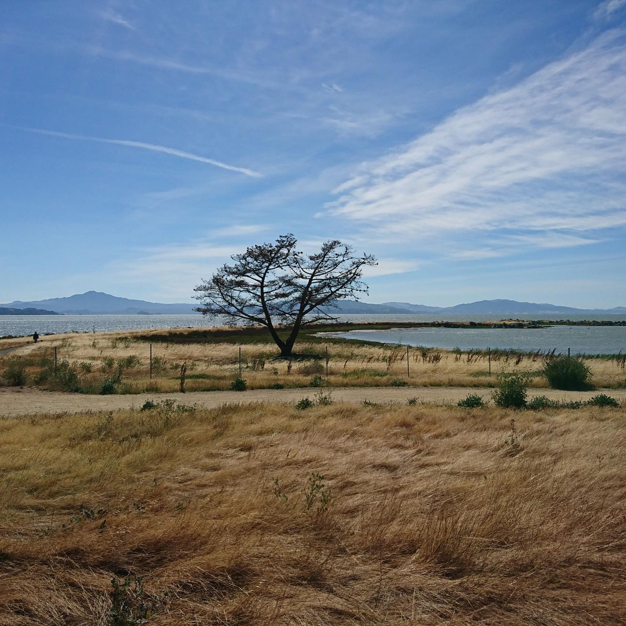
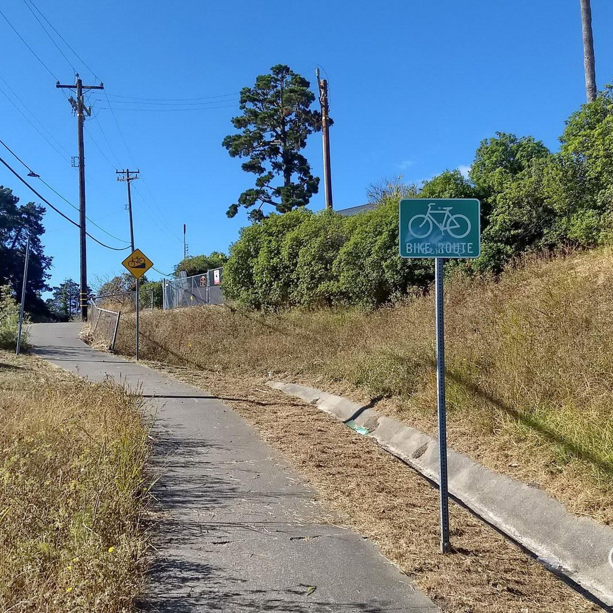

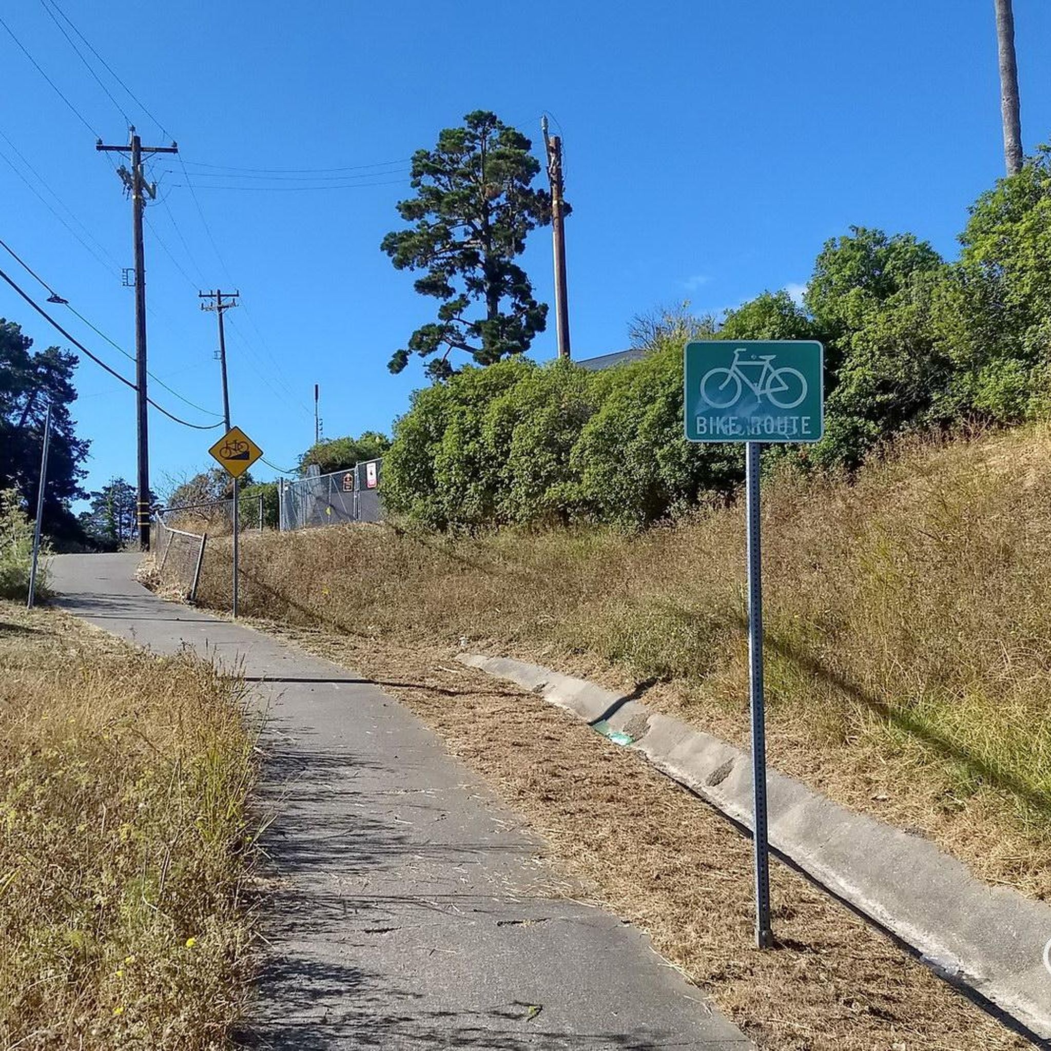
Tips from the Community

Concrete fishing pier with excellent views across the bay. It juts out into the Carquinez Strait, with a fish cleaning station at the halfway point.
0
0
Shoreline park along San Francisco Bay Trail. Unfortunately the trail deadends a mile further west.
0
0
Wooden bike and pedestrian bridge along the smooth biking section of the Bay Trail crosses Pinole Creek. The Creek has been restored to fairly natural conditions and is flanked by bike trails on both sides of the creek.
0
0

The Owl Alley Trail is a multi-use gravel trail in the Point Pinole Regional Park. It leads through open meadows with nice views of the bay and can be combined with several other trails in the area to extend your hike.
0
0

This spot is one of many fantastic stopping points to grab your camera and take some incredible photos of the beautiful bay.
0
0

This pier is a highlight of Point Pinole Shoreline Regional Park. Fishing off the pier is good (check local regulations), and there's a blue gum eucalyptus forest nearby.
1
0
Long concrete fishing pier jutting out into the Carquinez Strait, with a fish cleaning station and great views.
0
0

Beautiful spot for rest on a bench with a view.
0
0
Frequently Asked Questions
Are there any easy, family-friendly hikes near Tara Hills?
Yes, Point Pinole Regional Shoreline is perfect for families. The trails are predominantly flat and easy, with great views of San Pablo Bay. A good option is the Owl Alley Trail, which is a quiet path through meadows and eucalyptus groves.
Can I bring my dog on the trails?
Dogs are welcome in both Wildcat Canyon Regional Park and Point Pinole Regional Shoreline. They must be on a leash in developed areas like parking lots and picnic sites. In open spaces, they may be off-leash if they are under voice control, but always be mindful of wildlife and other hikers.
Where can I find a more challenging hike?
For a more strenuous workout, head to Wildcat Canyon Regional Park. The trails there involve significant ascents and descents on rolling hills. The Wildcat Canyon Loop Trail from Alvarado Staging Area is a long, rewarding hike that takes you through the park's open canyons.
Which trails offer the best scenic views?
For panoramic views of the San Francisco Bay, Carquinez Strait, and Mount Diablo, the trails along San Pablo Ridge in Wildcat Canyon are excellent. If you prefer waterfront scenery with views of Mount Tamalpais, the trails at Point Pinole Regional Shoreline, like the Point Pinole Pier loop, are a great choice.
Are there good circular or loop hikes available?
Definitely. The area has several well-regarded loop trails. For a moderate challenge with great vistas, the San Pablo Ridge Trail and Wildcat Creek Trail loop is a popular choice in Wildcat Canyon Regional Park.
What are the trail conditions like?
The trails vary between the parks. In Point Pinole, you'll find mostly flat, wide, and sometimes paved paths. In Wildcat Canyon, the trails are primarily open fire roads on rolling hills, which can be rugged and involve steep climbs.
Where is the best place to park?
Both regional parks have designated parking areas. For Wildcat Canyon, the Alvarado Staging Area is a common starting point. For Point Pinole, there is a main parking lot near the park entrance. It's always a good idea to arrive early on weekends as they can fill up.
What kind of nature and wildlife can I expect to see?
The parks host diverse ecosystems. In Wildcat Canyon, you'll find coast live oak and madrone trees, and you might spot deer and various birds. Point Pinole is known for its eucalyptus groves, which shelter monarch butterflies, and its location on the Pacific Flyway makes it a great spot for birdwatching with over 100 species.
When is the best time to see wildflowers?
Spring is the most vibrant season for hiking in the area. The rolling hills of Wildcat Canyon Regional Park, in particular, come alive with a colorful display of wildflowers.
How many hiking trails are there around Tara Hills?
There are over 35 hiking routes to explore around Tara Hills, offering a great variety of options across the adjacent regional parks, from easy shoreline strolls to moderate hill climbs.
What do other hikers think of the trails in this area?
The trails around Tara Hills are highly rated by the komoot community, with an average score of over 4 stars. Hikers often praise the stunning panoramic views from the ridges in Wildcat Canyon and the peaceful, flat trails along the bay at Point Pinole.
Are there any short, easy walks with bay views?
Yes, the Bay Trail to Point Pinole Regional Park via Dotson Family Marsh is a very flat and easy walk of about 2.5 miles (4 km) that offers lovely views along the shoreline.
Most popular attractions around Tara Hills

Get inspired with the komoot mobile app


Explore more
Browse the best Hikes in other regions.
