The best running trails around Point Reyes Station
81
runners
23
runs
Jogging routes around Point Reyes Station traverse a diverse landscape at the gateway to Point Reyes National Seashore. The region features open grasslands, dense Douglas-fir forests, brushy hillsides, and expansive sandy beaches. Coastal bluffs offer panoramic ocean views, while inland trails lead through wooded hillsides and past unique geological formations like Tomales Bay. This varied terrain provides a range of running experiences for different fitness levels.
Best jogging routes around Point Reyes Station
- The most popular jogging route is Coast…
Last updated: October 11, 2026
9
runners
8.79km
01:01
130m
120m
Embark on the Coast Trail to Santa Maria Beach loop, a moderate jogging route that spans 5.5 miles (8.8 km) with an elevation gain of 417 feet (127 metres). You…
5
runners
24.6km
03:12
700m
700m
Jog the challenging 15.3-mile Woodward Valley Loop in Point Reyes National Seashore, featuring diverse terrain and ocean views.

3
runners
17.4km
02:19
510m
510m
A difficult 10.8-mile jogging route in Point Reyes National Seashore, featuring diverse terrain, forest, and ocean views.
1
runners
9.96km
01:21
390m
390m
Jog the difficult 6.2-mile Mount Wittenberg and Horse Trail Loop in Point Reyes National Seashore, gaining 1266 feet.
11
runners
5.64km
00:42
80m
80m
Moderate run. Good fitness required. Mostly paved surfaces. Suitable for all skill levels.
Get access to more routes and recommendations from other explorers.
Already have an account?
Our route recommendations are based on thousands of hikes, rides, and runs completed by other people on komoot.
Start today with a free account
Your next adventure awaits.
Tips from the Community

Kelham Beach is a seclude beach deep in the Phillip Burton Wilderness. Due to erosion and a landslide taking out the Kelham Beach, there is no safe route to descend to the beach (as of 2024). The land in that area is still moving, so you should not attempt to reach the beach.
0
0

This trail includes beautiful forest and spectacular coastal hiking. Beginning on Mt. Wittenberg at Sky Trail, Woodward Valley Trail is one of the lushest, greenest trails in the park. Follow this all the way down to Coast Trail where you'll enjoy open ocean views as you either head north to Coast Camp and the Hostel, or head south to the Bear Valley Trail.
0
0

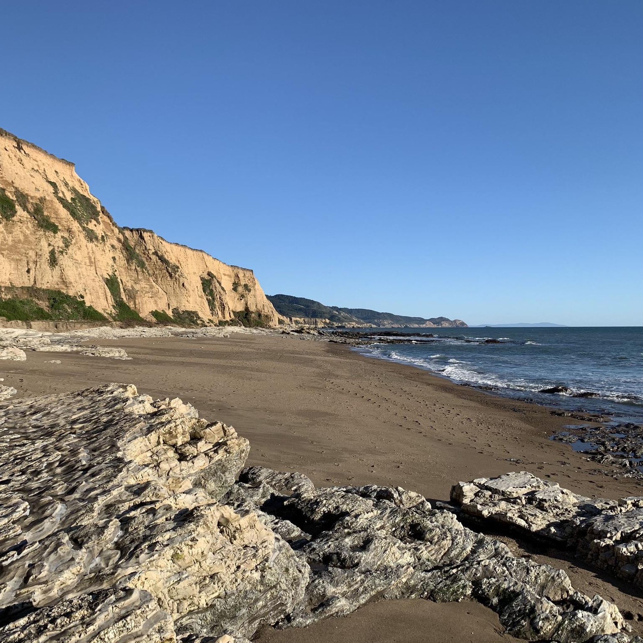
A remote stretch of beach, Santa Maria is at the southeast end of Limantour Beach. If you're here during low tide you can walk to the southern end of the beach & explore some great tide pools.
0
0
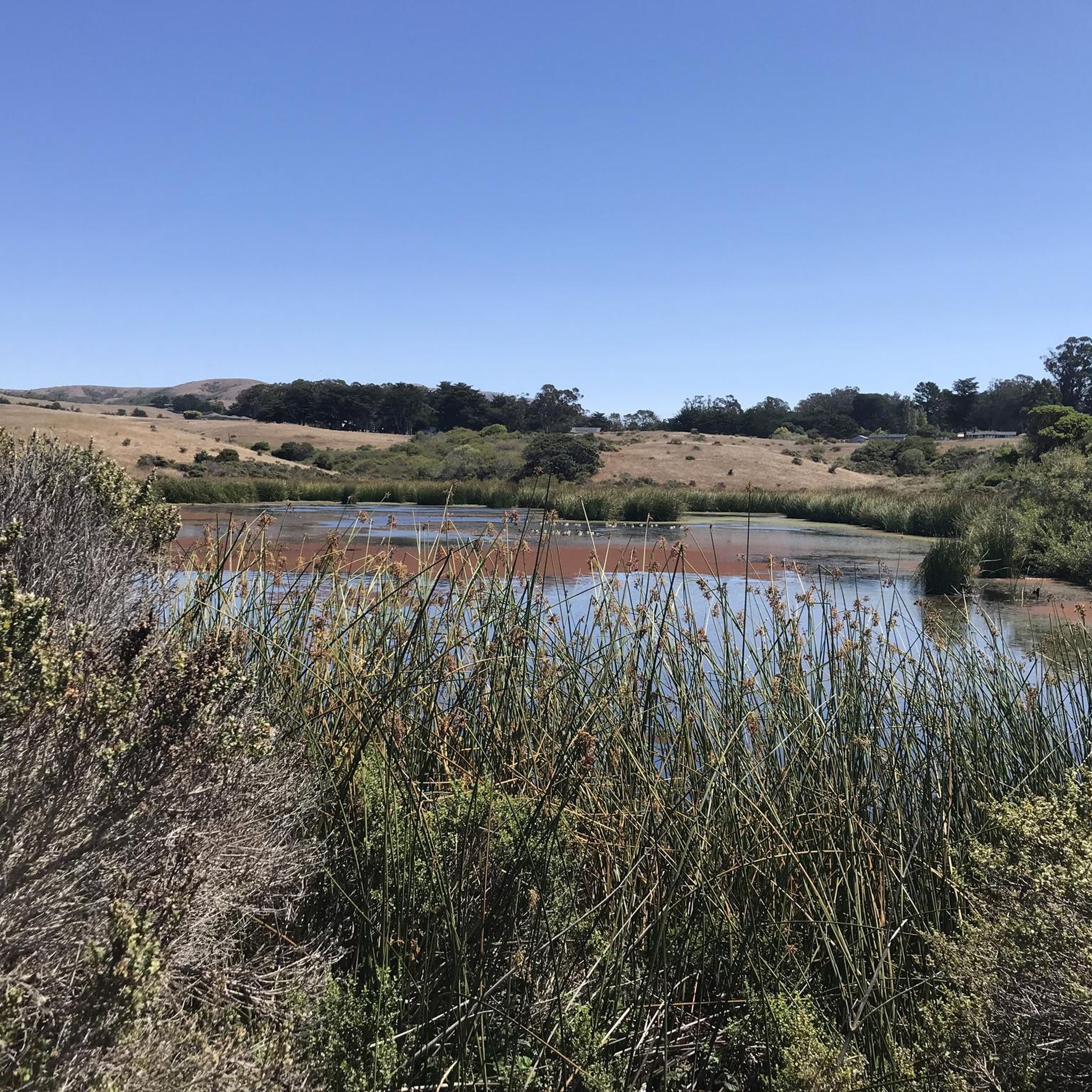
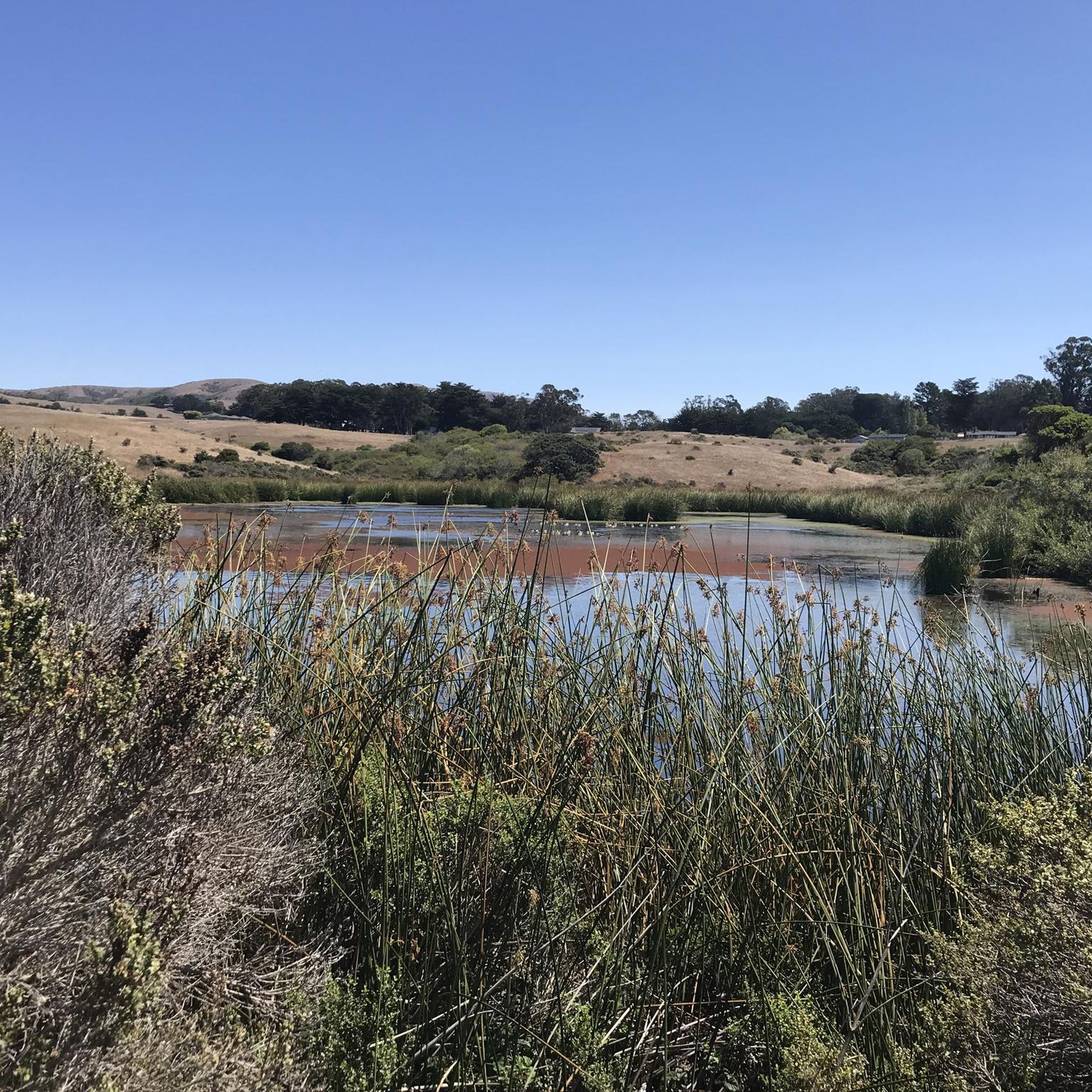
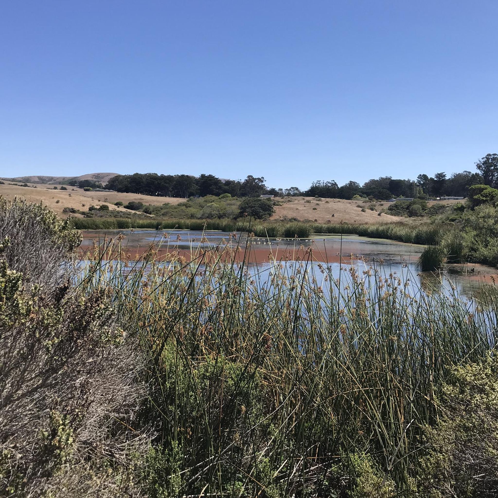
A beautiful meadow surrounded by lush forest. It can be a destination on its own for a quick stop & picnic or part of a longer hike if you have more time to explore.
0
0
Meadow trail branches off the main Bear Valley Trail to the west, connecting to Sky Trail and Mt Wittenberg.
0
0
Main Trailhead and visitor center in the vicinity of the trails to the San Andreas fault and east side of the Point Reyes National Seashore hills.
0
0
Main visitor center of Point Reyes National Seashore, at the start of the trail leading to the coast through the southern forested section of the park. No entrance fees, free daytime parking. For overnight parking hikers need to obtain a parking permit here.
0
0
Sculptured Beach is a beautiful cove, framed by tall cliffs, but receives very few visitors. It is accessible at low tide by simply walking south along the beach from Coast Camp, or by taking the short spur trail from Coast Trail. The spur is often densely overgrown with vegetation in spring.
1
0
Frequently Asked Questions
Are there running routes for all skill levels around Point Reyes Station?
Yes, the Point Reyes Station area offers a diverse range of running experiences. While many routes are classified as difficult, such as the Mount Wittenberg and Horse Trail Loop, there are also moderate options like the Coast Trail to Santa Maria Beach loop, which provides coastal views without extreme elevation changes. The region's varied terrain ensures options for different abilities.
What natural features or scenic viewpoints can I expect to see on the running trails?
Running routes around Point Reyes Station traverse a stunning array of natural features. You can expect panoramic ocean views along coastal bluffs, dense Douglas-fir forests, open grasslands, and expansive sandy beaches. Trails also pass by unique geological formations like Tomales Bay and offer glimpses of various water features such as lakes, ponds, and streams. The Coast Trail to Santa Maria Beach loop is a great example for coastal scenery.
Are there any specific landmarks or points of interest along the jogging routes?
Yes, several points of interest enhance the running experience. You might encounter the Cross Marin Trail, the Bolinas Ridge Trail, or the Bear Valley Trailhead & Visitor Center. For those interested in water features, the Nicasio Reservoir and parts of the Estero Trail offer scenic views.
What are some challenging long-distance running options in the area?
For runners seeking a challenge, the Point Reyes Station area offers several demanding routes. The Woodward Valley Trail – Sculptured Beach loop from Olema is a significant 16.8-mile (27.0 km) trail with considerable elevation gain, taking about 3 hours 38 minutes to complete. Another option is the Woodward Valley Loop, which is 24.5 km long and features nearly 700 meters of elevation gain.
Is parking available near the trailheads in Point Reyes Station?
Yes, parking is generally available at various trailheads throughout Point Reyes National Seashore. Popular starting points like the Bear Valley Trailhead often have designated parking areas. It's always advisable to check specific trail information or park websites for details on parking availability and any potential fees or restrictions.
How many jogging routes are there in Point Reyes Station?
There are over 20 running routes around Point Reyes Station available for exploration. These routes cater to various preferences, from moderate coastal paths to challenging long-distance trails through dense forests.
What do other runners enjoy the most about jogging in Point Reyes Station?
The running routes in Point Reyes Station are highly rated by the komoot community, with over 90 runners having explored the area. Users frequently praise the diverse terrain, which includes coastal paths, dense forests, and varied elevation changes, offering a rich and engaging experience for all fitness levels.
Are there any circular running routes available?
Yes, many of the running routes in the Point Reyes Station area are designed as loops, providing a varied experience without retracing your steps. Examples include the Coast Trail to Santa Maria Beach loop and the Mount Wittenberg and Horse Trail Loop, both offering distinct natural environments.
What is the best season for jogging in Point Reyes Station?
Spring is an especially great time to visit Point Reyes Station for jogging due to the vibrant wildflower displays. However, the diverse ecosystems and coastal climate make it suitable for running year-round. Always check local weather conditions, as coastal fog can be common, and prepare for varying temperatures.
Are dogs allowed on the running trails in Point Reyes National Seashore?
Point Reyes National Seashore has specific regulations regarding dogs on trails. Generally, dogs are permitted on certain trails and in developed areas, but often not on wildlife-sensitive trails or beaches. It's crucial to check the official National Park Service website for the most current and detailed rules regarding pet access before heading out. You can find more information on the NPS website.
Are there any family-friendly running trails near Point Reyes Station?
While many routes in the area are rated as difficult, there are options suitable for families looking for a less strenuous run or walk. Trails with moderate difficulty, such as the Coast Trail to Santa Maria Beach loop, offer relatively flat sections and beautiful scenery, making them more accessible for families. Always consider the distance and elevation profile when choosing a route for children.
Are permits required for running in Point Reyes National Seashore?
Generally, permits are not required for day-use running on the established trails within Point Reyes National Seashore. However, for specific activities like organized events or overnight backpacking, permits may be necessary. It's always best to consult the official National Park Service website for any specific regulations or requirements that might apply to your planned activity.
Most popular attractions around Point Reyes Station

Get inspired with the komoot mobile app


Explore more
Browse the best Running Trails & Routes in other regions.
