The best cycling routes around Point Reyes Station
4.4
(28)
466
riders
35
rides
Touring cycling routes around Point Reyes Station traverse a diverse landscape characterized by sweeping ocean vistas, dramatic cliffs, and tranquil forests. The region encompasses over 70,000 acres of Point Reyes National Seashore, featuring expansive beaches, rolling grasslands, and forested ridges. Cyclists can explore evergreen forests, coastal scrub, and redwood groves, with the 15-mile long Tomales Bay providing scenic views. The area's topography is influenced by the San Andreas Fault, contributing to its varied terrain.
Best touring cycling routes around Point Reyes Station
- The most popular touring cycling route is Sea Lion Overlook via Sir Francis Drake Blvd., a 38.9 miles (62.6 km) trail that takes 4 hours to complete. This difficult route offers expansive ocean vistas and challenging climbs.
- Another top favourite among local touring cyclists is Olema Marsh and Bayview Trail Loop, a difficult 16.1 miles (25.9 km) path. This route features significant elevation gain and diverse habitats.
- Local touring cyclists also love the Olema – Point Reyes Station loop from Point Reyes Station, a 35.4 miles (56.9 km) trail leading through coastal and forested areas, often completed in about 3 hours 29 minutes.
- Touring cycling around Point Reyes Station is defined by coastal paths, rolling grasslands, and dense woodlands. The network offers options for different ability levels, from moderate rides to more challenging routes with significant elevation changes.
- The routes in Point Reyes Station are highly rated by the komoot community with an average score of 4.8 stars from over 19 reviews. More than 348 touring cyclists have used komoot to explore Point Reyes Station's varied terrain.
Last updated: October 10, 2026
4.6
(5)
50
riders
62.6km
04:02
800m
800m
Hard bike ride. Very good fitness required. Mostly paved surfaces. Suitable for all skill levels.
5.0
(2)
13
riders
25.9km
01:58
590m
590m
Hard bike ride. Very good fitness required. Mostly paved surfaces. Suitable for all skill levels.

3.3
(3)
66
riders
115km
07:07
1,200m
1,200m
Hard bike ride. Very good fitness required. Mostly paved surfaces. Suitable for all skill levels.
3.0
(2)
29
riders
Hard bike ride. Very good fitness required. Mostly paved surfaces. Suitable for all skill levels.
14
riders
56.9km
03:28
510m
510m
Hard bike ride. Very good fitness required. Mostly paved surfaces. Suitable for all skill levels.
Get access to more routes and recommendations from other explorers.
Already have an account?
Our route recommendations are based on thousands of hikes, rides, and runs completed by other people on komoot.
Start today with a free account
Your next adventure awaits.
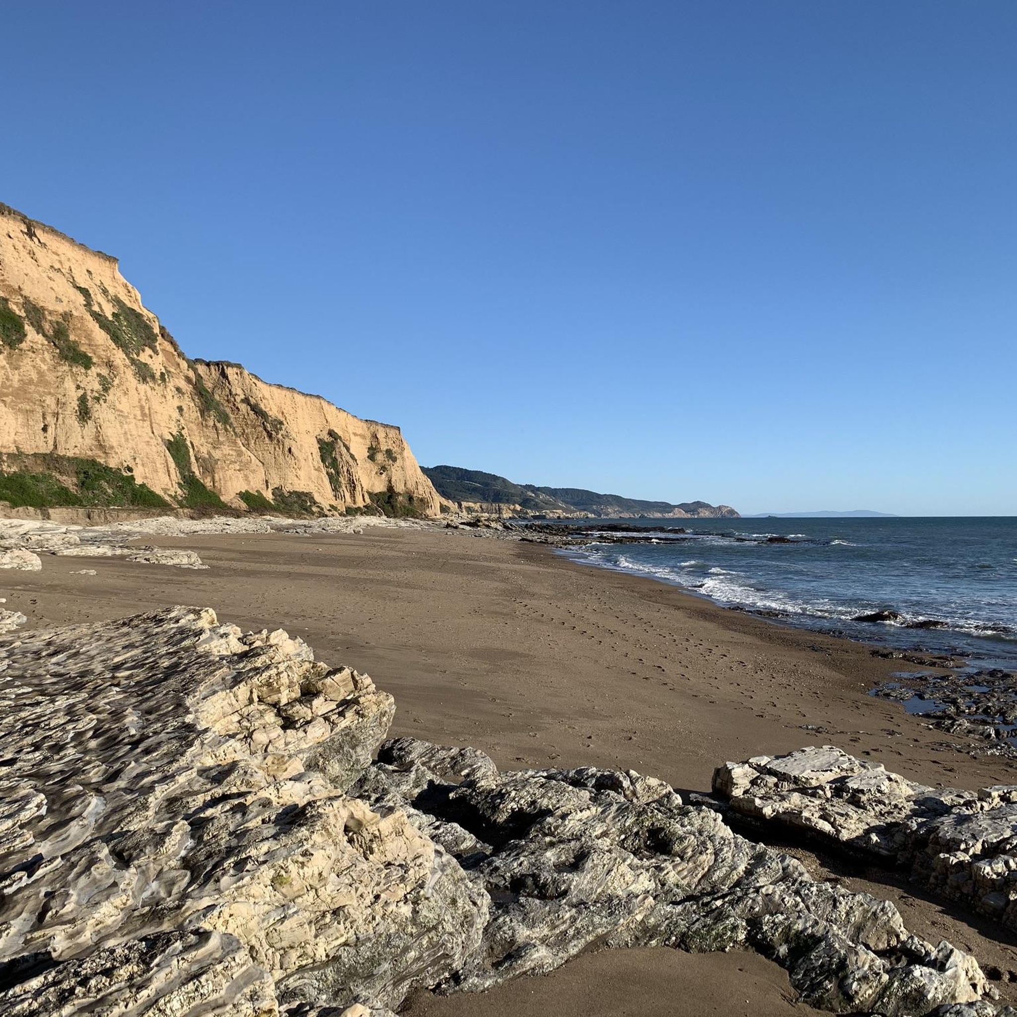
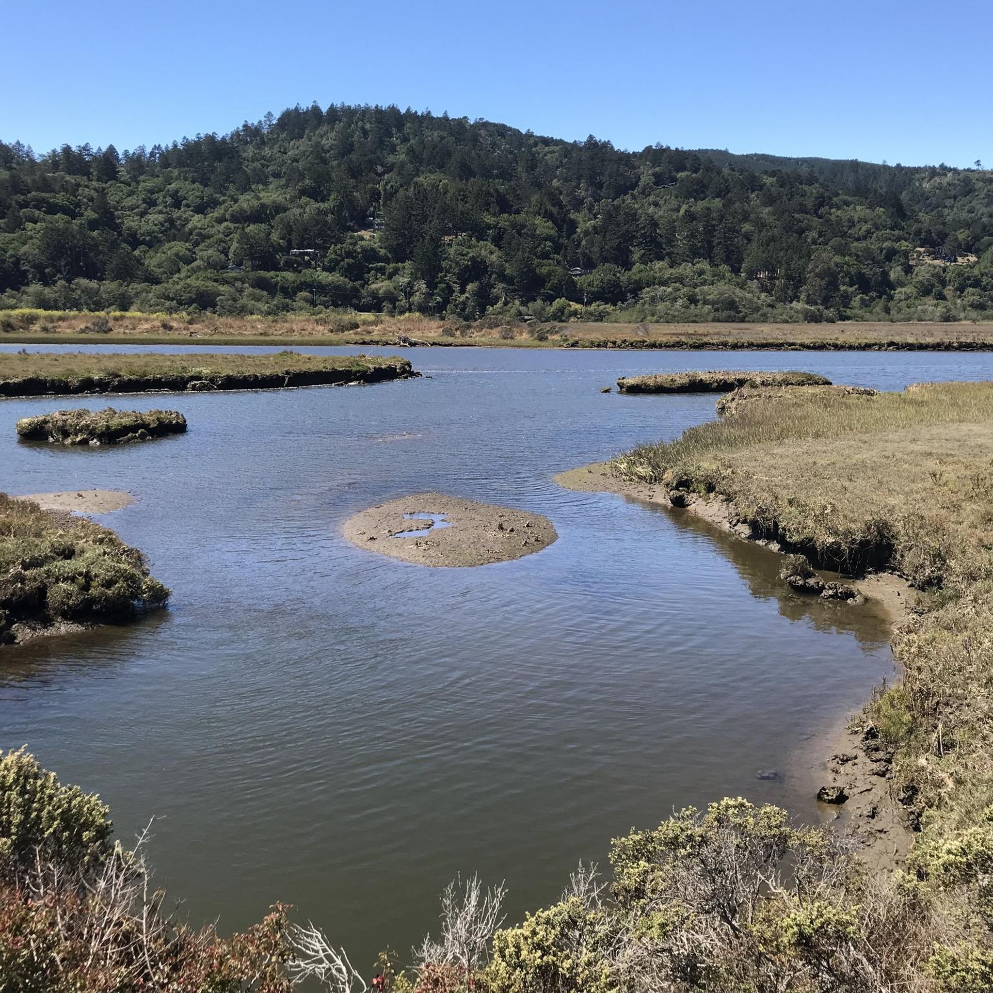
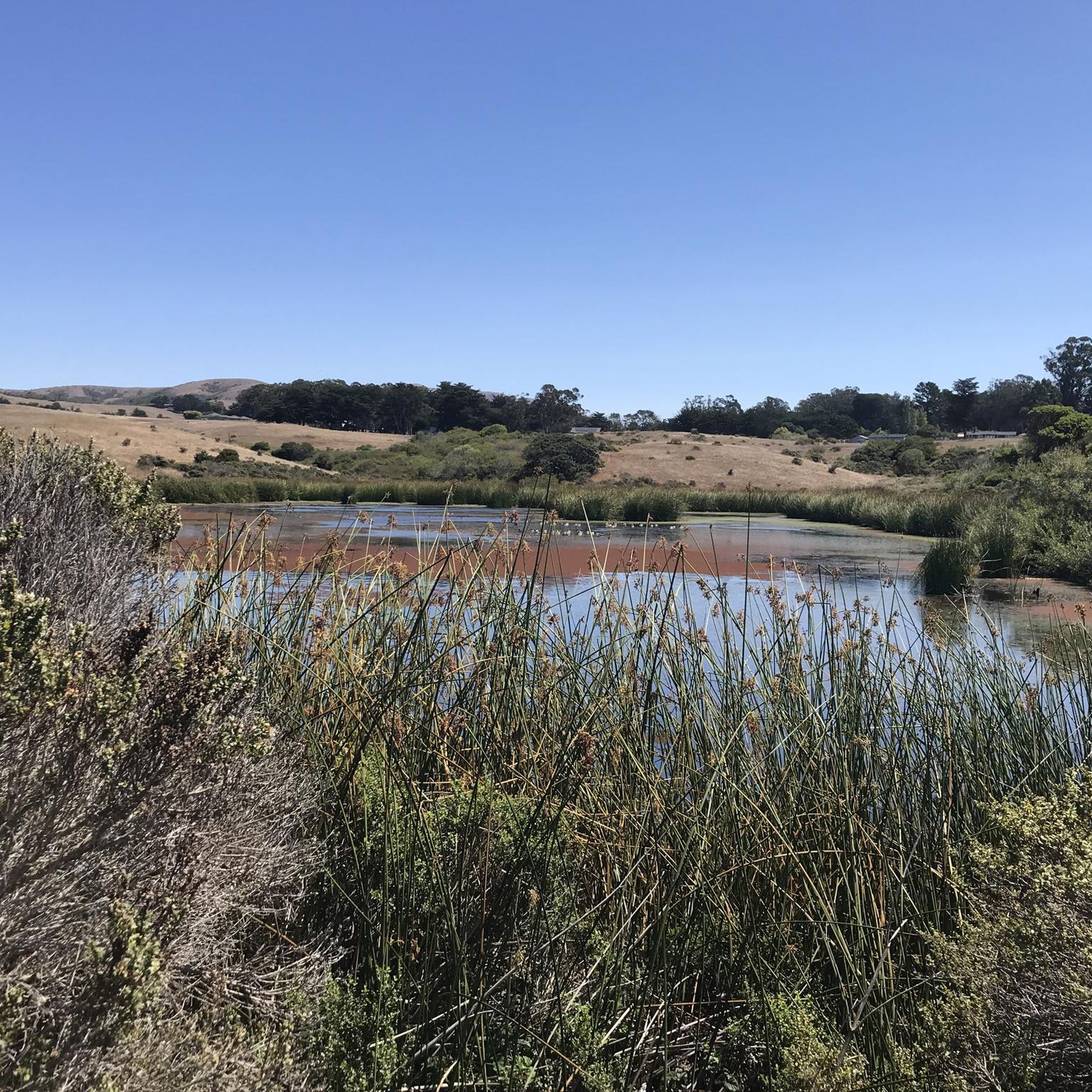
Tips from the Community

This is a good gravel bike ride. There is a little more road riding than I prefer but, drivers are bike aware and give you plenty of room. Most of it is paved and the single track segment can be done with a no suspension gravel bike. Cellular reception is limited and so are the audible directions from Komoot.
0
0


This paved bike trail runs through the College of Marin Campus along the Corte Madera Creek. This is a great trail for students and commuters, as well as cyclists looking for a traffic-free shortcut through the area.
0
0

Actually not a pool, just an access to Lagunitas Creek, but the little park with the handsome wooden bridge has a pretty trail along the water, with a couple of good places to get into the water to swim or bathe in sweet water before it mixes with the salt water in Tomales Bay. Parking area with restroom and bench.
0
1

This bikeway offers a better alternative to the much busier Center Boulevard, which does not have a shoulder and an even better route than the Sir Francis Drake Blvd highway. Lansdale and San Anselmo Avenues are quiet residential streets that run parallel and provide a pleasant passage through town away from busy traffic.
1
0
This large group picnic area is a lovely spot under a shady grove of towering redwoods that sits along Lagunitas Creek. There is piped drinking water and restrooms nearby, and if it is not in use, it is an excellent place to stop for lunch. If you are bike touring with friends and wish to spend time here, you can reserve this spot through the Samuel Taylor State Parks' department website.
0
0
From Bear Valley road, Limantour road goes to a lovely sand beach, starting gently up the increasingly steep switchbacks over Inverness Ridge.
0
1
Frequently Asked Questions
How many touring cycling routes are available in Point Reyes Station?
Point Reyes Station offers a diverse selection of over 30 touring cycling routes. These routes cater to various skill levels, including 4 easy, 12 moderate, and 14 difficult options, ensuring there's a ride for every cyclist.
What kind of natural features and landmarks can I expect to see along the touring cycling routes?
The routes around Point Reyes Station are rich with natural beauty and iconic landmarks. You can expect to see sweeping ocean vistas, dramatic cliffs, tranquil forests, and rolling grasslands. Notable attractions include the scenic Nicasio Reservoir, the Drake's Head viewpoint, and the unique Arch Rock. The area is also known for its diverse ecosystems, including coastal scrub and redwood groves, and the geological significance of the San Andreas Fault.
Are there any challenging touring cycling routes for experienced riders?
Yes, Point Reyes Station offers several challenging routes for experienced touring cyclists. For instance, the Sea Lion Overlook via Sir Francis Drake Blvd. is a difficult 38.9-mile (62.6 km) route with significant elevation gain, offering expansive ocean vistas. Another demanding option is the Olema Marsh and Bayview Trail Loop, a 16.1-mile (25.9 km) path featuring diverse habitats and considerable climbs.
What is the best time of year to go touring cycling in Point Reyes Station?
Point Reyes Station offers enjoyable touring cycling experiences year-round, but the best time often depends on your preferences. Spring brings vibrant wildflower displays, especially around Chimney Rock, while fall offers clear skies and pleasant temperatures. Winter is ideal for spotting elephant seals (December to March), and summer provides consistent coastal breezes. Always check local weather conditions before heading out.
Are there any circular touring cycling routes available?
Yes, there are several excellent circular touring cycling routes. A popular option is the Olema – Point Reyes Station loop from Point Reyes Station, a 35.4-mile (56.9 km) trail that takes you through coastal and forested areas. Another great loop is the Tomales Bay Ecological Reserve – Inverness Ridge Saddle loop from Olema, which is a moderate 42.8-mile (68.9 km) ride.
What do other cyclists say about touring cycling in Point Reyes Station?
The touring cycling routes in Point Reyes Station are highly regarded by the komoot community, with an average rating of 4.8 out of 5 stars from over 19 reviews. Cyclists frequently praise the stunning coastal views, the diverse terrain ranging from forests to grasslands, and the overall scenic beauty of the Point Reyes National Seashore.
Are there opportunities to see wildlife while cycling?
Absolutely! Point Reyes Station is a haven for wildlife. While cycling, you might spot tule elk, elephant seals (especially between December and March at Chimney Rock), harbor seals, and a wide array of bird species, as 45% of North America's bird species reside here. The Tule Elk Preserve is a prime location for wildlife observation.
Where can I find places to eat or get refreshments in Point Reyes Station?
The charming township of Point Reyes Station offers several excellent options for refreshments and local goods. You can visit Cowgirl Creamery for artisanal cheeses, Toby's Feed Barn for local produce and unique items, and Bovine Bakery for delicious pastries. There are also various art galleries, boutiques, and gourmet restaurants that champion local produce.
Are there any specific permit requirements for cycling in Point Reyes National Seashore?
Generally, traditional bicycles are permitted on most trails within the Point Reyes National Seashore. Class 1 e-bikes are also allowed where traditional bikes are, though specific exceptions exist for certain trails like Abbotts Lagoon Trail. For detailed and up-to-date information on regulations and any potential permit requirements, it's always best to consult the official National Park Service website for Point Reyes National Seashore: nps.gov/pore/planyourvisit/biking.htm.
What are some easy touring cycling routes for beginners or families?
While many routes offer challenging climbs, there are easier options suitable for beginners or families. The region has 4 routes classified as 'easy'. For a more relaxed experience, consider exploring the flatter sections of trails or routes that stick closer to the town of Point Reyes Station, which often have less elevation gain. The Bear Valley Trail, for example, is open to bicycles from the Bear Valley Trailhead to the Glen Trail junction and offers a relatively gentle ride through diverse habitats.
Can I bring my dog on the touring cycling trails in Point Reyes Station?
While Point Reyes National Seashore is generally dog-friendly in certain areas, specific regulations apply to trails. Dogs are typically allowed on paved roads and in developed areas, but often restricted from natural surface trails to protect wildlife. It's crucial to check the specific rules for each trail or area you plan to visit. For the most current information on where dogs are permitted, please refer to the official National Park Service guidelines for Point Reyes National Seashore.
Where can I find parking for my bike when visiting the trails?
Parking for cyclists is available at various trailheads and visitor centers throughout the Point Reyes National Seashore. The Bear Valley Visitor Center serves as a central hub and starting point for many trails, offering parking facilities. When visiting specific attractions like the Point Reyes Lighthouse, you'll typically find designated parking areas where you can secure your bike before proceeding on foot to the landmark itself.
Most popular attractions around Point Reyes Station

Get inspired with the komoot mobile app


Explore more
Browse the best Cycling routes in other regions.
