The best road cycling routes around Parkway
4.6
(43)
1,891
riders
78
rides
Road cycling routes around Parkway are characterized by generally flat terrain and low elevation gains, making them accessible for various skill levels. The region features extensive river trails, such as those along the Sacramento River, and passes through agricultural landscapes and natural preserves. This environment provides a consistent surface for road cyclists, with routes often following waterways and rural roads.
Best road cycling routes around Parkway
- The most popular road cycling route is Sacramento River Bike Trail loop, a…
Last updated: July 8, 2026
5
riders
60.6km
02:22
50m
50m
Cycle the 37.7-mile moderate Sacramento River Bike Trail loop, enjoying river views, the Old Sacramento Waterfront, and Tower Bridge.
4.9
(7)
36
riders
43.8km
01:55
60m
60m
Easy road ride. Great for any fitness level. Mostly well-paved surfaces and easy to ride.

Sign up for free
5.0
(1)
18
riders
66.1km
02:38
70m
70m
Moderate road ride. Good fitness required. Mostly well-paved surfaces and easy to ride.
12
riders
Moderate road ride. Good fitness required. Mostly well-paved surfaces and easy to ride.
10
riders
Moderate road ride. Good fitness required. Mostly well-paved surfaces and easy to ride.
Get access to more routes and recommendations from other explorers.
Sign up for free
Already have an account?
Our route recommendations are based on thousands of hikes, rides, and runs completed by other people on komoot.
Start today with a free account
Your next adventure awaits.
Login or Signup
Popular around Parkway

Tips from the Community


This small Delta town is surrounded by orchards and scenic levee roads, perfect for a peaceful. Known for its summer Pear Fair and farming heritage, Courtland offers a quiet slice of rural California life.
0
0

This stunning preserve is one of the few protected wetland habitat areas in the state and home to California's largest remaining valley oak riparian forest. There is a beautiful bird refuge, where millions of birds stop on their annual migration, a nice visitor center, and pit toilets in the parking lot. Entry is free, and there are several paved pathways and walking bridges, benches, and a lookout point in the water-filled grasslands. It's a fantastic place to stop and take a break to enjoy the breathtaking scenery.
0
0

Stone Lakes National Wildlife Refuge is a former vineyard transformed into an area of grasslands, wetlands and woodlands. The area is open to the public to explore its natural surroundings and there are a network of fantastic walking trails to discover. There's plenty of amazing wildlife here including blue herons, dragonflies and otters.
0
0
This is an historic metal truss swing bridge that spans the American River. Cycling over it will provide fantastic views down the waterway.
1
0

Avoid. Homeless everywhere. Trash/waste on bike paths. Not fun. Similar unpleasantness throughout the downtown Sacramento area. Reported hit-and-run car vs. cyclist downtown while we were here. On the bright side, 30 minutes away, Folsom Lake area (Placer County) paths are truly awesome rides. We are already planning our next visit there.
0
0

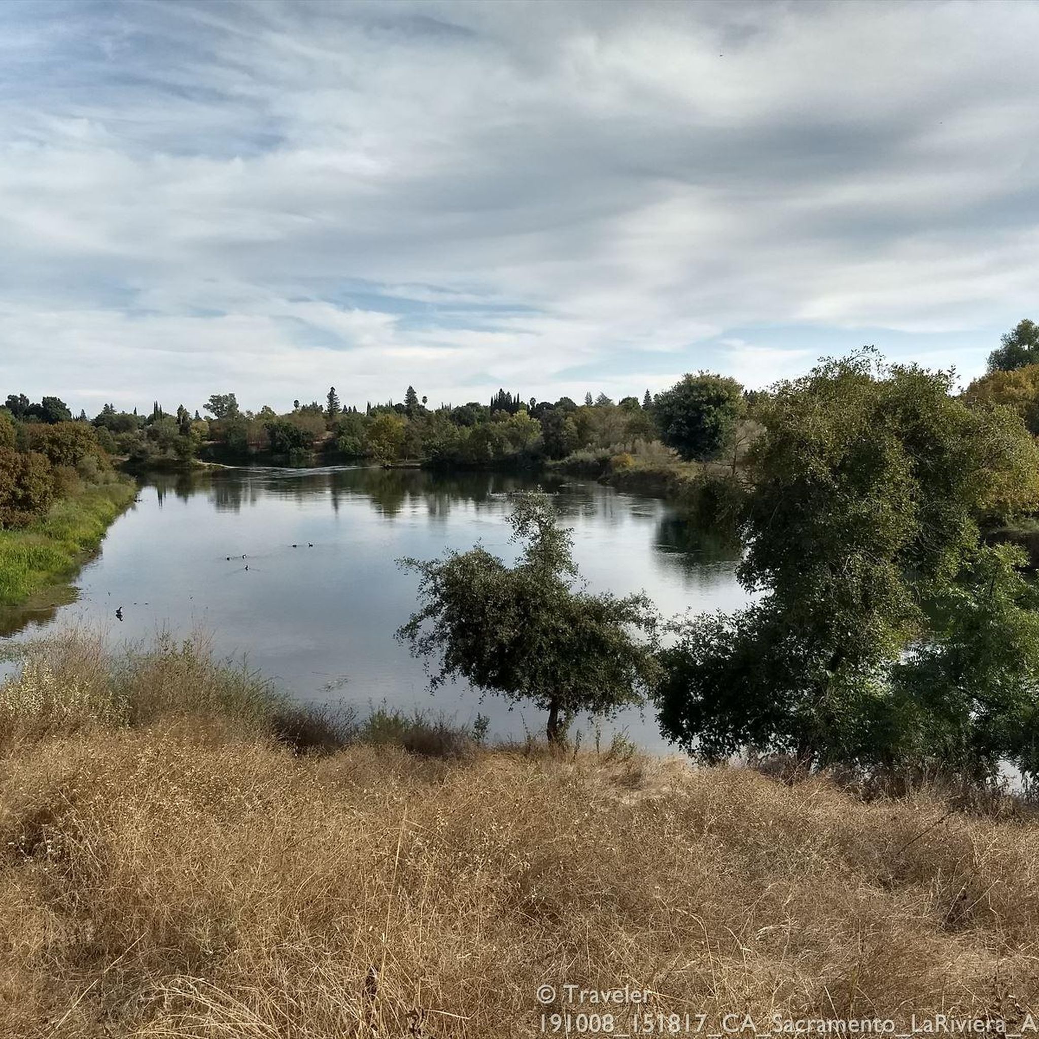
The Sacramento River Bike Trail is a completely paved path that totals over 12 miles in one direction. There are a few small breaks in the trail where you have to use sidewalk and roads to connect the path, but these sections are really short. You pass by several riverside parks and levees while covering the trail, and this specific section offers some great views of the river.
0
0
The Stone Lakes National Wildlife Refuge features a handful of intertwining paths. All the trails in the refuge are short, paved, and well-marked. They also feature lots of educational signs and kiosks so that you can read about the flora, fauna, and history of the area.
0
0
Frequently Asked Questions
What kind of terrain can I expect on road cycling routes around Parkway?
Road cycling routes in the Parkway area are generally characterized by flat terrain and low elevation gains. You'll find extensive river trails, particularly along the Sacramento River, and paths that wind through agricultural landscapes and natural preserves, offering a consistent and smooth surface for road cyclists.
Are there easy road cycling routes suitable for beginners in Parkway?
Yes, Parkway offers a good selection of easy road cycling routes. Out of 66 available routes, 32 are classified as easy, making the area very accessible for beginners or those looking for a relaxed ride. These routes often follow the flat river trails.
What are the typical distances and elevations for road cycling routes in Parkway?
Routes in Parkway vary in distance, with many popular options ranging from 35 to 50 miles. For example, the Sacramento River Bike Trail loop is about 37.7 miles (60.6 km). Elevation gains are generally low across the region, typically under 100 meters, reflecting the flat nature of the river valleys and agricultural lands.
Are there any family-friendly road biking options in Parkway?
Given the generally flat terrain and low elevation gains, many of Parkway's road cycling routes are suitable for families. The extensive river trails provide safe and scenic paths away from heavy traffic, making them ideal for rides with children or less experienced cyclists.
What are some scenic viewpoints or interesting landmarks along the road cycling routes?
As you cycle around Parkway, you can encounter several interesting landmarks. Notable bridges include the Guy West Bridge, Tower Bridge, and Pipe's Bridge. You might also pass by the historic California State Capitol or ride along sections of the Sacramento Northern Bike Trail.
Are there any loop trails for road cycling in the Parkway area?
Yes, Parkway offers several excellent loop trails for road cyclists. Popular options include the Sacramento River Bike Trail loop, which provides consistent flat riding, and the Courtland Public Library – Courtland loop from 47th Avenue, exploring rural agricultural areas.
What do other road cyclists enjoy most about cycling in Parkway?
The komoot community highly rates road cycling in Parkway, with an average score of 4.1 stars from over 20 reviews. Cyclists frequently praise the region's flat river trails, the scenic agricultural landscapes, and the natural preserves, which offer a consistent and enjoyable riding experience.
What is the best time of year for road biking in Parkway?
While specific conditions can vary, the generally mild climate of the Parkway region makes road cycling enjoyable for much of the year. Spring and fall often offer the most comfortable temperatures, avoiding the peak heat of summer and potential winter rains, providing ideal conditions for exploring the flat river trails and rural roads.
Are there advanced road cycling routes for experienced riders in Parkway?
While the majority of routes in Parkway are easy to moderate, there is at least one route classified as difficult for more experienced riders seeking a challenge. The region's longer moderate routes, such as the Cosumnes River Preserve – River Road Bridge loop from Cosumnes River College (48.4 miles), also offer extended distances for endurance training.
How many road cycling routes are available in the Parkway region?
There are over 60 road cycling routes available in the Parkway region, catering to various skill levels. This includes a significant number of easy routes, many moderate options, and a few more challenging trails.
Are there any cafes or places to stop for refreshments along the road cycling routes?
While specific cafes are not listed in the route data, the routes often pass through or near small towns and agricultural communities like Courtland. These areas typically offer opportunities to find local shops or cafes for refreshments, especially on longer loops such as the Courtland Public Library – Courtland loop from Cosumnes River College.
What kind of natural preserves can I expect to see while road cycling in Parkway?
Road cycling routes in Parkway often lead through or near natural preserves, such as the Cosumnes River Preserve. These areas provide opportunities to experience the region's diverse ecosystems, including wetlands and riparian habitats, offering a pleasant contrast to the agricultural landscapes.
Most popular routes around Parkway
Most popular attractions around Parkway

Get inspired with the komoot mobile app


Explore more
Browse the best Road cycling routes in other regions.
